
1939 Map of Berkey
USGS Topo · Published 1939About this map
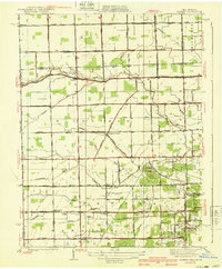
Richfield Center and the village of Berkey anchor this 1930s landscape of northwest Ohio, where the grid of Lucas County meets the Michigan border. The area is defined by an extensive network of drainage infrastructure, including the Langenderfer Ditch, Wolfinger Ditch, and Prairie Ditch, illustrating the managed hydrology required for the region's agricultural development. The Toledo and Western Railroad cuts through the northern half of the sheet, connecting rural stops like Smith Siding and Allen Junction to the larger regional economy. A distinctive historical line, the Six Mile Reservation Boundary, runs through the southeastern corner near the Glengary Country Club, marking early land divisions. Local education and faith are represented by several country schoolhouses and the Immaculate Conception Sch, serving a community largely organized around township lines and roadside settlements.
Find a feature on this map
62 named features on this map. Tap any name to fly to it.
Don’t see what you’re looking for? This feature index may not catch every label — zoom into the map to look around manually.
Map Details
Editions of this 1939 Berkey Map
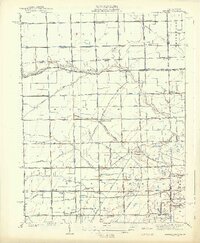
3 editions found
Other maps of this area

1900 · Toledo
USGS Topo · 1:62,500

1911 · Swanton
USGS Topo · 1:62,500

1912 · Dundee
USGS Topo · 1:62,500

1914 · Swanton
USGS Topo · 1:62,500

1926 · Dundee
USGS Topo · 1:62,500

1935 · Whitehouse
USGS Topo · 1:24,000

1935 · Maumee
USGS Topo · 1:24,000

1935 · Berkey
USGS Topo · 1:24,000
1937 · Sylvania
USGS Topo · 1:31,680
1938 · Maumee
USGS Topo · 1:31,680