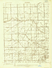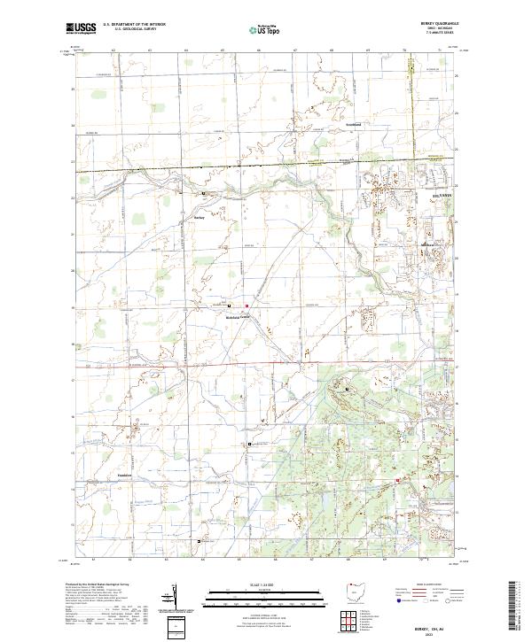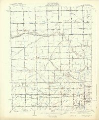
1939 Map of Berkey
USGS Topo · Published 1939About this map
Berkey stands as a central hub in this agricultural region of northwest Ohio, captured just before the close of the 1930s. The landscape is defined by an intricate network of drainage channels, including Richfield Ditch, Schmitz Ditch, and Wolfinger Ditch, reflecting the local efforts to manage the low-lying terrain for farming. The Toledo and Western RR cuts across the northern half of the sheet, connecting Berkey with Allen Junction and Bowen. Rural life centers around local landmarks like Immaculate Conception Ch near Raab and several one-room schoolhouses such as McNett Sch and Sharples Sch. The boundary between Ohio and Michigan is clearly delineated at the top, while the southern portion of the map features leisure spaces like the Spuyten Duyval Country Club.
Find a feature on this map
66 named features on this map. Tap any name to fly to it.
Don’t see what you’re looking for? This feature index may not catch every label — zoom into the map to look around manually.
Map Details
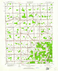
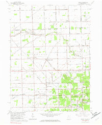
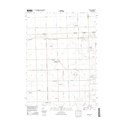
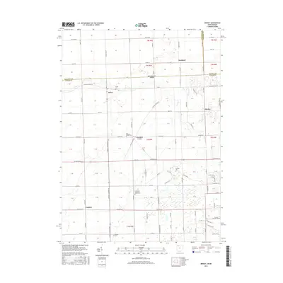
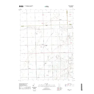
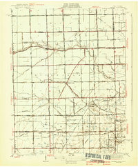
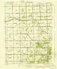
Editions of this 1939 Berkey Map
3 editions found
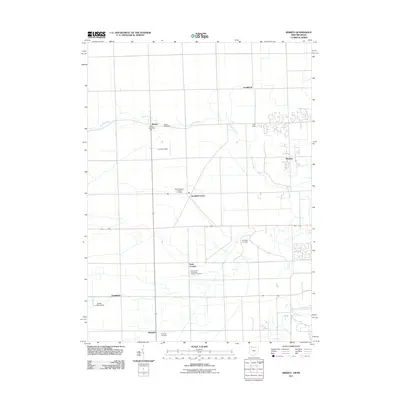
Historical Maps of Whiteford Township Through Time
9 maps found