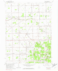
1966 Map of Berkey
USGS Topo · Published 1982About this map
Richfield Center and the village of Berkey anchor this mid-1960s survey of the borderlands between Ohio and Michigan. The landscape is defined by a dense grid of rural roads and an extensive network of drainage ditches, illustrating the conversion of the Black Swamp region into productive agricultural land. Local community life is centered around institutions like Immaculate Conception Sch and Farley Ch, while the southern reaches of the map show the recreational expansion of the era at Secor Park and the Glengary Country Club. Tenmile Creek meanders through the center of the quadrangle, flanked by numerous small woodlots that break up the expansive farm fields. Geologic and industrial activity is represented by a Quarry near Mitchaw, while old family-named landmarks like Raab Corners provide valuable points of reference for local historians and genealogists studying the evolution of Lucas County.
Find a feature on this map
34 named features on this map. Tap any name to fly to it.
Don’t see what you’re looking for? This feature index may not catch every label — zoom into the map to look around manually.
Map Details
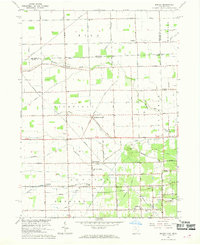
Editions of this 1966 Berkey Map
2 editions found
Other maps of this area

1900 · Toledo
USGS Topo · 1:62,500

1911 · Swanton
USGS Topo · 1:62,500

1912 · Dundee
USGS Topo · 1:62,500

1914 · Swanton
USGS Topo · 1:62,500

1926 · Dundee
USGS Topo · 1:62,500

1935 · Whitehouse
USGS Topo · 1:24,000

1935 · Maumee
USGS Topo · 1:24,000

1935 · Berkey
USGS Topo · 1:24,000
1937 · Sylvania
USGS Topo · 1:31,680
1938 · Maumee
USGS Topo · 1:31,680