2020s Maps of Saint Ignace Township, Michigan
Explore 9 historic maps of Saint Ignace Township from the 2020s. These maps offer a rare glimpse into what life looked like during the 2020s — showing old roads, neighborhoods, homes, and landmarks that have changed or disappeared over time.
Whether you're researching your family's past, planning a metal detecting trip, or studying how Saint Ignace Township's landscape evolved across the 2020s, these high-resolution maps are a powerful tool for exploring the history of this region.
- Focus on a specific era: All maps on this page are from the 2020s, giving you a focused view of this time period.
- See what’s changed: Compare century-old streets, trails, and buildings to today's modern landscape using overlays and satellite layers.
- Research with precision: Use these maps for genealogy, historical research, land use analysis, or educational projects.
- View, download, or print: Maps are fully viewable online in high resolution, and can be downloaded or printed for your own records.
Start exploring Saint Ignace Township's history through authentic maps from the 2020s. This is your window into the past.
Saint Ignace Township, MI maps
(9)- 2023 Map of Fibre, 2023 Print
 2023 Fibre2023 Print · USGSThe eastern Upper Peninsula hinterlands are documented here in the early 2020s, showing the intersection of local timber roads and protected wilderness. Local historians can trace the remote settlements of Fibre and Dryburg near the banks of Bear Creek and the Pine River.
 - 2023 Map of Ozark NE, 2023 Print
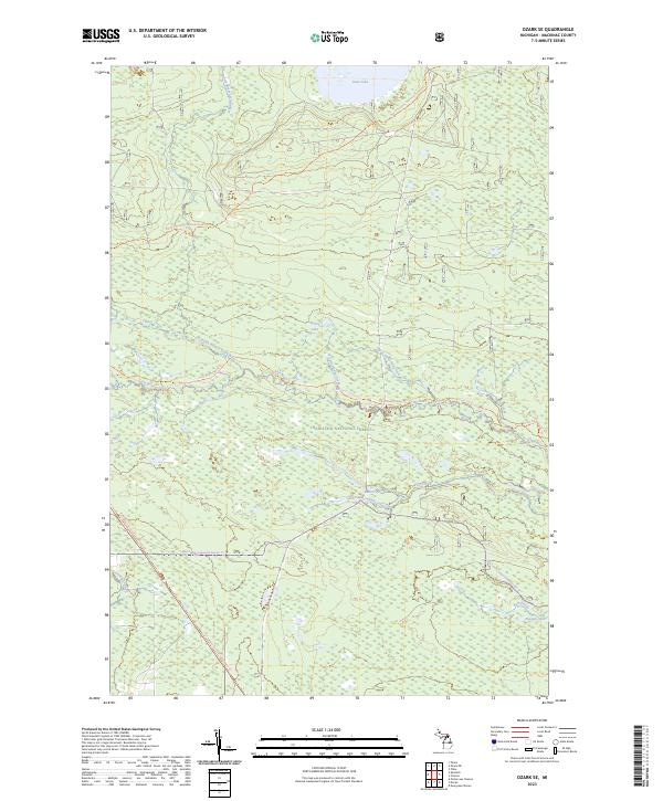
 2023 Ozark NE2023 Print · USGSUpper Peninsula forest lands and remote settlements are mapped in detail during this recent survey. Local researchers can trace the paths of the North Country National Scenic Trl and locate the small communities of Dick and Cordell.
 - 2023 Map of Ozark SE, 2023 Print
 2023 Ozark SE2023 Print · USGSThe northern woods of Mackinac County are shown here in recent years, centered on the protected waters of the Hiawatha National Forest. Outdoor historians can trace the North Country National Scenic Trl and the Carp River Canoe Route through the Mackinac Wilderness.
 - 2023 Map of Evergreen Shores, 2023 Print
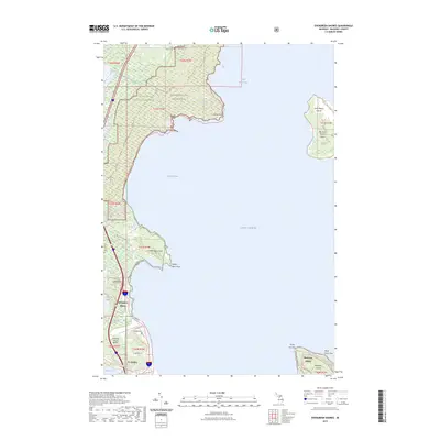 2023 Evergreen Shores2023 Print · USGSCoastal Mackinac County is mapped here in the early 2020s, showing the intersection of the Upper Peninsula mainland and the surrounding islands. Genealogists and local historians can locate Saint Ignace Township Cem or trace landmarks like Castle Rock and the Saint Martin Islands.
 - 2023 Map of Charles, 2023 Print
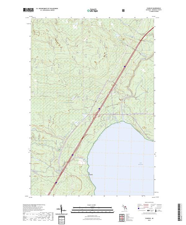 2023 Charles2023 Print · USGSCoastal Mackinac County meets the waters of Lake Huron in this recent survey of the Upper Peninsula's forested shoreline. Outdoor researchers and local historians can trace the settlement at Charles and recreation routes like the Fisherman's Hike Trl and Red Creek-cedarville Snomo Trl.
 - 2023 Map of Rudyard, 2023 Print
 2023 Rudyard2023 Print · USGSThe Upper Peninsula community of Rudyard and the surrounding timberlands are documented here in the early twenty-first century. Researchers can locate South Rudyard Cem and trace rural family homesteads along S Jarvie Rd and S Tilson Rd.
 - 2023 Map of Moran, 2023 Print
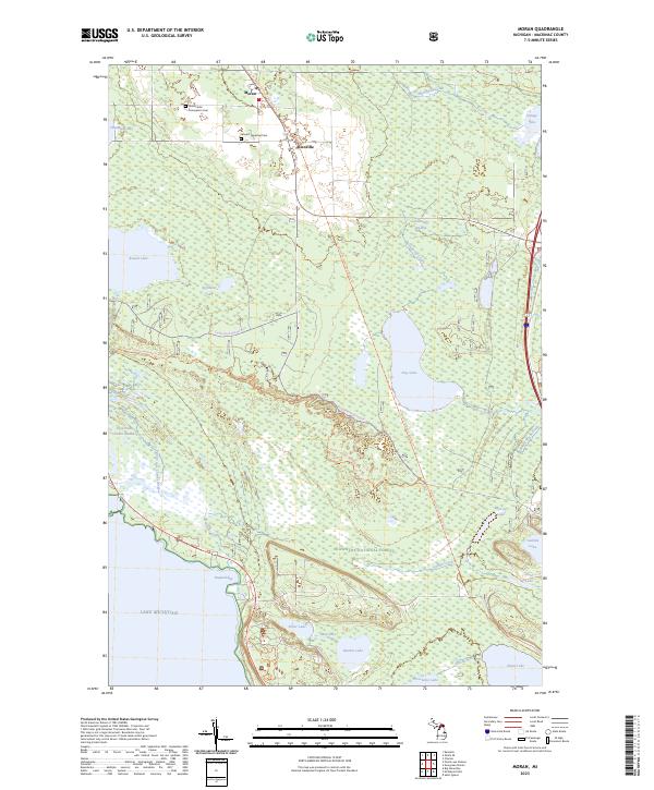 2023 Moran2023 Print · USGSMackinac County’s interior wetlands and Lake Michigan shoreline are captured here in the early twenty-first century. Researchers can locate the Immaculate Conception Cem, trace the Pointe aux Chenes River, and explore the rural settlements of Moran and Allenville.
 - 2023 Map of Pontchartrain Shores, 2023 Print
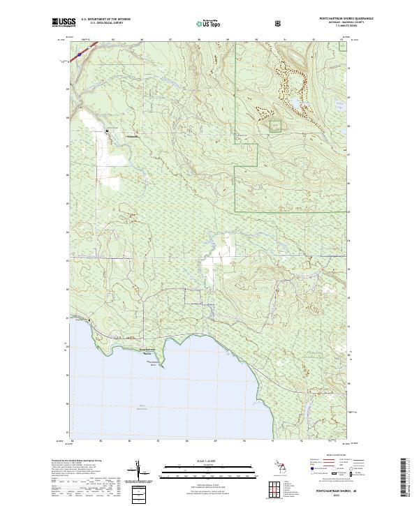 2023 Pontchartrain Shores2023 Print · USGSMackinac County's northern Lake Huron coast is documented here in recent years, showing the intersection of public forest land and small coastal settlements. Genealogists and researchers can trace local heritage at Simmons Cem and Wequayoc Cem or follow the paths of Rock Spring Creek and Nunns Creek.
 - 2023 Map of Saint Martin Island, 2023 Print
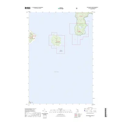 2023 Saint Martin Island2023 Print · USGSThe Saint Martin Island archipelago and the southern edge of the Upper Peninsula are captured in this modern survey of the Mackinac Straits. Researchers can locate the Indian Burial Ground on Big Saint Martin Island or trace the coastline of Search Bay.
End of results
Showing maps 1-9 of 9
Top cities near Saint Ignace Township
- Saint Ignace historical maps
- Rudyard historical maps
- Moran historical maps
- Mackinac Island historical maps
Top neighborhoods of Saint Ignace Township
Frequently asked questions
- What are the different types of historical maps available for Saint Ignace Township?
- What is the oldest map of Saint Ignace Township?
- Where can I purchase historical maps of Saint Ignace Township for my home or office?
- Where can I download high-res historical maps of Saint Ignace Township?
- Are there historical topographic maps available for Saint Ignace Township?
- Is there historical aerial imagery available for Saint Ignace Township?
- Where are historical maps of Saint Ignace Township sourced from?