Old Maps of Ray Center, Michigan for Hiking & Exploration
Hike through history with 15 historic maps of Ray Center. Explore old trails, ghost towns, and forgotten backroads — perfect for outdoor adventurers and local explorers.
- Rediscover forgotten places: Map out old mining camps, roads, and footpaths that no longer exist on modern maps.
- Layer with modern tools: Combine with LiDAR or satellite views to plan hikes through historical terrain.
- Made for exploration: Popular among hikers, overlanders, and local history lovers.
Use these maps to find adventure and explore the hidden past of Ray Center.
Ray Center, MI maps
(15)- 1914 Map of Armada
 1914 Armada1914 Print · USGSMacomb and St. Clair Counties are seen here in the years before the Great War as a productive agricultural landscape tied together by rail. Researchers can trace historic farmstead locations and early rural infrastructure, from Wolcotts Mill Pond to the busy Grand Trunk R. R. junctions at Armada and Richmond.
 - 1928 Map of Armada
 1928 Armada1928 Print · USGSMacomb and St. Clair counties are shown here in the early twentieth century as agriculture and rail travel dominated the landscape. Genealogists can trace family roots through specific locales like Doyle P.O., Sullicks Corners, and the mill at Wolcots Mill Pond.
 - 1945 Map of Armada
 1945 Armada1945 Print · USGSMacomb County's agricultural heartland is documented here during the mid-forties, centered on the rail-connected village of Armada. Genealogists can locate numerous rural landmarks like Bruce and Armada Cem, Ray Center, and the Bruce and Armada Grange.2 unique versions available
 - 1952 Map of Armada, 1954 Print
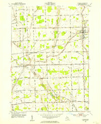 1952 Armada1954 Print · USGSThe village of Armada and surrounding Macomb County townships are captured here in the early fifties during a period of steady rural development. Genealogists can locate family landmarks like Procter Cem or trace rural education at Cascade Sch and Priest Sch.2 unique versions available
 - 1954 Map of Detroit
 1954 Detroit1954 Print · USGSThe Detroit metro and its Ontario neighbors are shown at the height of the mid-century industrial era, just as the suburbs were rapidly expanding. Researchers can trace the massive rail networks of the Wabash Railroad or locate landmarks like Grosse Ile and Selfridge Air Force Base.
 - 1961 Map of Detroit, 1973 Print
 1961 Detroit1973 Print · USGSThe international border between Michigan and Ontario was a bustling industrial corridor in the early sixties. Researchers can trace the transit networks and riverfront infrastructure connecting Detroit to Windsor via the Detroit-Windsor Tunnel and major air hubs like Willow Run Airport.2 unique versions available
 - 1965 Map of Detroit
 1965 Detroit1965 Print · USGSThe industrial corridor between Michigan and Ontario is captured here at mid-century, showing the dense rail and river networks of the Great Lakes. Local historians can trace the paths of the Grand Trunk Western RR and locate key landmarks like Selfridge Air Force Base and Grosse Ile.
 - 1968 Map of Armada, 1970 Print
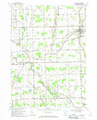 1968 Armada1970 Print · USGSMacomb County agriculture and transportation intersect in the late sixties as the village of Armada thrives alongside the Grand Trunk Western railroad. Researchers can locate family roots at Bruce and Armada Cem or trace history at Wolcott Mills.2 unique versions available
 - 1981 Map of Lake St. Clair North
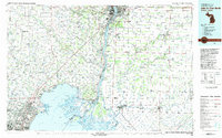 1981 Lake St. Clair North1981 Print · USGSThe Michigan-Ontario borderlands come alive in the early eighties, showcasing the busy international corridor from the St Clair River down to the delta. Trace the intricate channels around Harsens Island or locate regional hubs like Selfridge Air Force Base and Sarnia.
 - 1991 Map of Armada
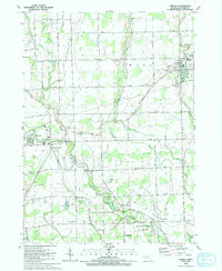 1991 Armada1991 Print · USGSNorthern Macomb County at the start of the nineties reveals a landscape where historic villages meet extensive parklands and private airfields. Researchers can locate family sites at Bruce and Armada Cem or trace the development of Wolcott Mill Metropark and Romeo Airport.
 - 2011 Map of Armada, 2011 Print
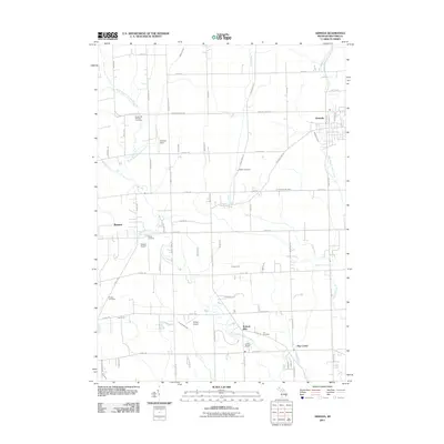 2011 Armada2011 Print · USGSNorthern Macomb County at the turn of the decade shows a landscape of steady agriculture and small-town centers. Genealogists and historians can locate family burial sites at Hadley Cemetery and Lee Cemetery or trace the early industrial footprint of Wolcott Mills.
 - 2014 Map of Armada, 2014 Print
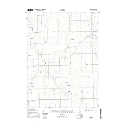 2014 Armada2014 Print · USGSNorthern Macomb County remains a landscape of historic farmsteads and rural crossroads in the early twenty-first century. Genealogists can locate several local burial grounds like Powell Cem and Lee Cem, while tracing the course of the N Br Clinton River through Wolcott Mills.
 - 2017 Map of Armada, 2017 Print
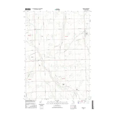 2017 Armada2017 Print · USGSMacomb County's agricultural heartland is captured here as traditional farming communities like Armada and Romeo began to modernize. Genealogists can locate several local burial sites such as Hadley Cem and Procter Cem, while historians can trace the Macomb Orchard Rail Trail.
 - 2019 Map of Armada, 2019 Print
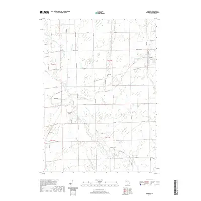 2019 Armada2019 Print · USGSCovers Ray Center, including Washington Charter Township, Romeo, and other nearby areas
 - 2023 Map of Armada, 2023 Print
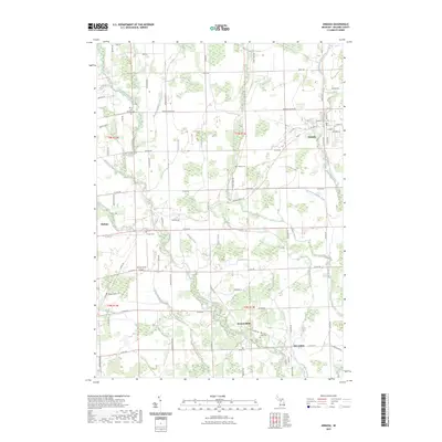 2023 Armada2023 Print · USGSNorthern Macomb County continues its legacy of farming and river-fed industry in this recent survey. Local researchers can trace family landmarks and rural sites like Wolcott Mills, Hadley Cem, and the village of Armada.
End of results
Showing maps 1-15 of 15
Top cities near Ray Center
- Sterling Heights historical maps
- Warren historical maps
- Clinton Township historical maps
- Macomb Township historical maps
- Troy historical maps
- Shelby Charter Township historical maps
See more
Frequently asked questions
- What are the different types of historical maps available for Ray Center?
- What is the oldest map of Ray Center?
- Where can I purchase historical maps of Ray Center for my home or office?
- Where can I download high-res historical maps of Ray Center?
- Are there historical topographic maps available for Ray Center?
- Is there historical aerial imagery available for Ray Center?
- Where are historical maps of Ray Center sourced from?