Old Maps of Shelby Charter Township, Michigan for Hiking & Exploration
Hike through history with 35 historic maps of Shelby Charter Township. Explore old trails, ghost towns, and forgotten backroads — perfect for outdoor adventurers and local explorers.
- Rediscover forgotten places: Map out old mining camps, roads, and footpaths that no longer exist on modern maps.
- Layer with modern tools: Combine with LiDAR or satellite views to plan hikes through historical terrain.
- Made for exploration: Popular among hikers, overlanders, and local history lovers.
Use these maps to find adventure and explore the hidden past of Shelby Charter Township.
Shelby Charter Township, MI maps
(35)- 1908 Map of Rochester
 1908 Rochester1908 Print · USGSSoutheast Michigan at the turn of the century shows a bustling landscape of early electric railways and rural township life. Genealogists and local historians can trace the foundations of Rochester, Birmingham, and Utica, alongside vanished landmarks like Snell School and the Stone Shop.3 unique versions available
 - 1912 Map of Mt Clemens
 1912 Mt Clemens1912 Print · USGSMacomb County at the dawn of the aviation age shows a landscape shaped by the winding Clinton River and the arrival of Selfridge Aviation Field. Genealogists and historians can locate legacy settlements like Waldenburg and early industrial sites like the Macomb Sugar Factory.
 - 1929 Map of Mt Clemens
 1929 Mt Clemens1929 Print · USGSMacomb County at the end of the twenties shows a landscape of growing towns and early aviation history along the Lake Saint Clair shoreline. Genealogists and historians can trace local landmarks like Selfridge Field, the Grand Trunk Railroad, and numerous parish schools from Fraser to New Haven.4 unique versions available
 - 1936 Map of Warren
 1936 Warren1936 Print · USGSThe Macomb and Oakland county line in the mid-1930s shows a landscape of small townships and early subdivisions. Genealogists can trace family roots through numerous local schools like Berz Sch or find historic burials at Warren Cem and Memorial Park Cem.
 - 1936 Map of Washington
 1936 Washington1936 Print · USGSMacomb County townships were transitioning from rural agriculture to automotive industry in the mid-1930s. Genealogists and historians can trace the Packard Proving Grounds, Ferry Morse Seed Co Farms, and old burial sites like Washington Cem.
 - 1936 Map of Waldenburg
 1936 Waldenburg1936 Print · USGSMacomb County in the mid-thirties remains a landscape of drainage ditches and schoolhouse crossroads before the post-war suburban shift. Genealogists can locate family landmarks like the Macomb Center Cem and schools such as Prestonville Sch and Warner Sch.
 - 1946 Map of Utica
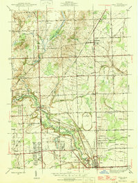 1946 Utica1946 Print · USGSMacomb and Oakland counties are captured here just after the war as the township of Shelby begins its post-war transition. Genealogists and local historians can trace family roots through numerous country schools like Plain Sch and cemeteries such as Prestonville Cem or Stony Creek Cem.2 unique versions available
 - 1946 Map of Warren
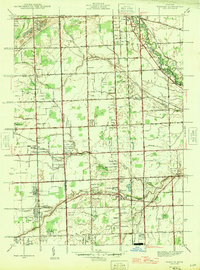 1946 Warren1946 Print · USGSThe Macomb and Oakland county borderlands are shown here in the mid-1940s, capturing a world of rural schools and early suburban aviation. Genealogists can trace family footprints near the Warren Cem, Big Beaver, and rural schoolhouses like Burr Sch.
 - 1952 Map of Warren, 1953 Print
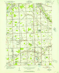 1952 Warren1953 Print · USGSSoutheastern Michigan at the dawn of the 1950s reveals a patchwork of established farms and emerging suburbs along the county line. Genealogists can trace family footprints at Warren Cem and find early schoolhouses like Colerain Sch or Burr Sch.2 unique versions available
 - 1952 Map of Utica, 1954 Print
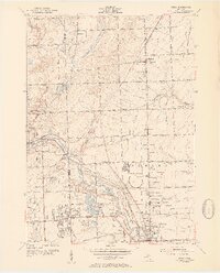 1952 Utica1954 Print · USGSSoutheast Michigan was entering a period of rapid post-war growth when this survey recorded the rural townships and growing centers of Macomb and Oakland Counties. Researchers can trace family history at sites like Disco Sch and Utica Cem, or locate landmarks such as the large Proving Grounds.2 unique versions available
 - 1952 Map of Waldenburg, 1954 Print
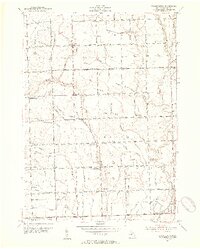 1952 Waldenburg1954 Print · USGSMid-century Macomb County reveals a landscape of grid-roads and rural schoolhouses just before the suburban expansion of the Detroit area. Trace the roots of local communities at Waldenburg, Preston Corners, and St Peters Sch, or locate family sites near Macomb Center Cem.2 unique versions available
 - 1952 Map of Mt Clemens, 1959 Print
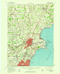 1952 Mt Clemens1959 Print · USGSIn the early fifties, Macomb County saw rapid suburban growth around the massive Selfridge Air Force Base and Lake St. Clair. Genealogists can trace early neighborhood roots and family landmarks like McKinley Airport, Moravian Sch, and St Paul Cem.
 - 1954 Map of Detroit
 1954 Detroit1954 Print · USGSThe Detroit metro and its Ontario neighbors are shown at the height of the mid-century industrial era, just as the suburbs were rapidly expanding. Researchers can trace the massive rail networks of the Wabash Railroad or locate landmarks like Grosse Ile and Selfridge Air Force Base.
 - 1961 Map of Detroit, 1973 Print
 1961 Detroit1973 Print · USGSThe international border between Michigan and Ontario was a bustling industrial corridor in the early sixties. Researchers can trace the transit networks and riverfront infrastructure connecting Detroit to Windsor via the Detroit-Windsor Tunnel and major air hubs like Willow Run Airport.2 unique versions available
 - 1965 Map of Detroit
 1965 Detroit1965 Print · USGSThe industrial corridor between Michigan and Ontario is captured here at mid-century, showing the dense rail and river networks of the Great Lakes. Local historians can trace the paths of the Grand Trunk Western RR and locate key landmarks like Selfridge Air Force Base and Grosse Ile.
 - 1968 Map of Waldenburg, 1970 Print
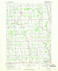 1968 Waldenburg1970 Print · USGSMacomb County is captured in the late sixties as its traditional farming roots met growing suburban interest and private aviation. Genealogists can trace family landmarks like the Macomb Center Cem or local school sites including St Peters Sch and St Isidores Sch.3 unique versions available
 - 1968 Map of Utica, 1970 Print
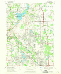 1968 Utica1970 Print · USGSThe Macomb and Oakland county line comes alive in the late sixties, showing the suburban growth surrounding Rochester and Utica. Genealogists can trace family roots through numerous sites like Stony Creek Cem, Disco, and Washington.4 unique versions available
 - 1968 Map of Warren, 1971 Print
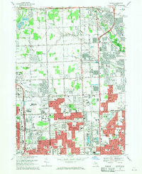 1968 Warren1971 Print · USGSThe Detroit suburbs were in the midst of a massive postwar boom when this survey was conducted. Genealogists and local historians can trace dozens of neighborhood schools and churches, from Holy Trinity Cem to the early days of the Oakland Mall Shopping Center.5 unique versions available
 - 1981 Map of Lake St. Clair North
 1981 Lake St. Clair North1981 Print · USGSThe Michigan-Ontario borderlands come alive in the early eighties, showcasing the busy international corridor from the St Clair River down to the delta. Trace the intricate channels around Harsens Island or locate regional hubs like Selfridge Air Force Base and Sarnia.
 - 1985 Map of Pontiac
 1985 Pontiac1985 Print · USGSSoutheast Michigan in the mid-1980s shows a landscape of growing suburban corridors and expansive public parklands. Genealogists and local historians can trace the footprint of rail lines like the Grand Trunk Western or locate family sites near Oakwood Cem and White Chapel Cem.2 unique versions available
 - 2011 Map of Waldenburg, 2011 Print
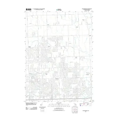 2011 Waldenburg2011 Print · USGSMacomb County at the start of the 2010s shows a suburbanizing landscape still marked by its historic settlement nodes and river branches. Genealogists and local historians can locate Macomb Center Cemetery and trace the paths of Davis and Waldenburg among the many named drainage canals.
 - 2011 Map of Utica, 2011 Print
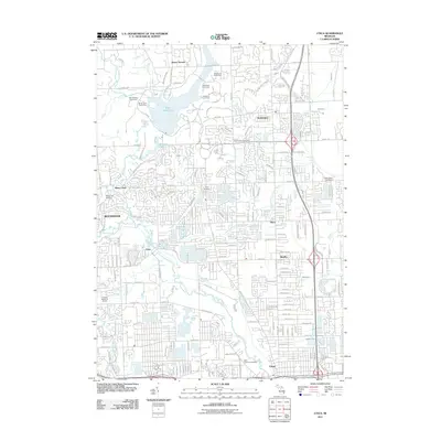 2011 Utica2011 Print · USGSMacomb County suburbanization and traditional settlements meet in this early 2000s survey of the Clinton River corridor. Researchers can locate family sites at Washington Cemetery and Saint Lawrence Cemetery, or trace the historical footprints of Disco and Mount Vernon.
 - 2011 Map of Warren, 2011 Print
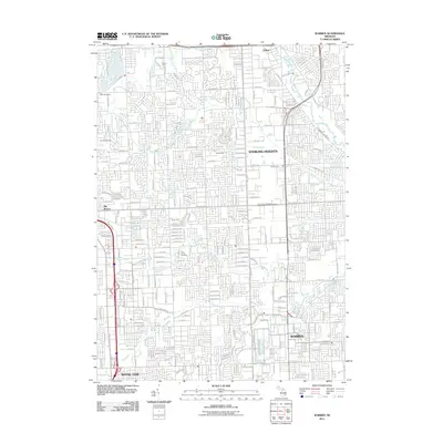 2011 Warren2011 Print · USGSThe northern Detroit suburbs are shown here in detail during their early 21st-century development. Researchers can trace the layout of local neighborhoods near Sterling Heights and Warren, or locate family sites at the Troy Union Cemetery.
 - 2014 Map of Utica, 2014 Print
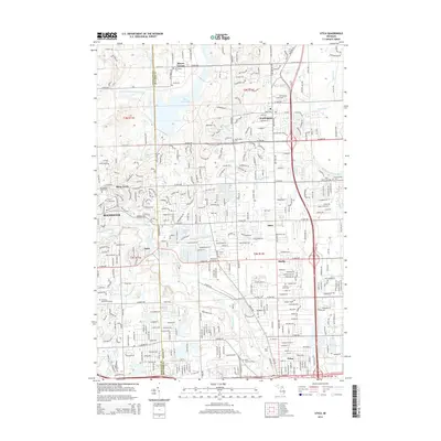 2014 Utica2014 Print · USGSThe transition from agricultural townships to thriving Detroit suburbs is captured here in the early 2010s. Genealogists and local historians can locate numerous family burial grounds and historical landmarks, including Van Hoosen Jones Cem, the Old Canal, and the historic settlement of Disco.
 - 2014 Map of Warren, 2014 Print
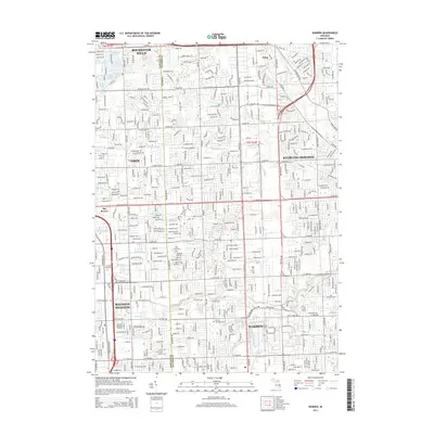 2014 Warren2014 Print · USGSThe suburbs of Detroit were fully realized by 2014, showing a dense network of neighborhoods across Warren and Sterling Heights. Genealogists can locate family sites near Warren Cem or Detroit Memorial Park along the busy 16 Mile Rd corridor.
Showing maps 1-25 of 35
Top cities near Shelby Charter Township
- Detroit historical maps
- Sterling Heights historical maps
- Warren historical maps
- Clinton Township historical maps
- Macomb Township historical maps
- Troy historical maps
See more
Top neighborhoods of Shelby Charter Township
Frequently asked questions
- What are the different types of historical maps available for Shelby Charter Township?
- What is the oldest map of Shelby Charter Township?
- Where can I purchase historical maps of Shelby Charter Township for my home or office?
- Where can I download high-res historical maps of Shelby Charter Township?
- Are there historical topographic maps available for Shelby Charter Township?
- Is there historical aerial imagery available for Shelby Charter Township?
- Where are historical maps of Shelby Charter Township sourced from?