Old Maps of Bear Lake Township, Michigan for Academic Research
Study the evolution of Bear Lake Township with 32 high-resolution historic maps. Whether you're teaching, researching, or modeling changes in land use, these maps provide essential visual documentation of urban, environmental, and geographic change.
- Analyze long-term change: Track patterns in development, transportation, and natural features.
- Ideal for environmental or urban studies: Support academic projects with primary historical map data.
- Use in the classroom or lab: Educators and researchers rely on these maps to bring historical context to life.
These maps are a powerful tool for teaching, research, and visualizing how Bear Lake Township has changed over the decades.
Bear Lake Township, MI maps
(32)- 1954 Map of Manitowoc, 1968 Print
 1954 Manitowoc1968 Print · USGSLake Michigan served as a vital transit corridor in the mid-fifties, with car and auto ferries linking the industrial ports of Wisconsin to the Michigan timberlands. Genealogists and maritime historians can trace active ferry routes like the Ann Arbor Railway Car and Auto Ferry and locate early settlements from Brussels to Algoma.2 unique versions available
 - 1956 Map of Onekama, 1958 Print
 1956 Onekama1958 Print · USGSThe Manistee County shoreline and inland timberlands are captured here in the mid-1950s. Trace old township life through landmarks like Bear Lake, the Indian Village, and several schools including the Merritt Sch.3 unique versions available
 - 1958 Map of Manitowoc
 1958 Manitowoc1958 Print · USGSLake Michigan and its shorelines are shown in the late fifties when maritime transport defined the region. Researchers can trace the routes of the Ann Arbor Railroad Ferry or locate old settlements like St. Nazianz, Rostock, and Two Creeks.
 - 1976 Map of Onekama SE
 1976 Onekama SE1976 Print · USGSManistee County in the mid-1970s is captured here through detailed aerial imagery, showing the rural landscape and river system. Genealogists and local historians can trace the early footprints of Kaleva, Brethren, and the small settlement at Chief Lake.
 - 1976 Map of Onekama NW
 1976 Onekama NW1976 Print · USGSThe Manistee County shoreline and interior farmlands are captured in mid-1970s aerial detail. Researchers can trace rural property lines and the development of lakeside communities like ARCADIA, PIERPORT, and BEAR LAKE.
 - 1976 Map of Onekama SW
 1976 Onekama SW1976 Print · USGSManistee County's lakeshore and river bottomlands are captured in high detail during the mid-1970s. Trace the residential layouts of Onekama and Red Park or follow the winding course of the Manistee River through the valley.
 - 1976 Map of Onekama NE
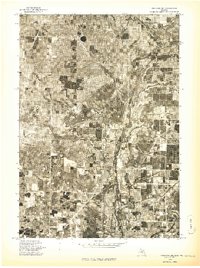 1976 Onekama NE1976 Print · USGSManistee County in the mid-1970s is captured here through detailed aerial photography, showing the rural landscape as it appeared just before modern expansion. Genealogists and land researchers can pinpoint specific farmsteads near Kaleva and Pleasanton or trace the path of the Betsie River.
 - 1982 Map of Pleasanton, 1983 Print
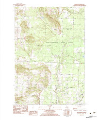 1982 Pleasanton1983 Print · USGSManistee County in the early eighties shows a transition from traditional timber and rail land toward modern resource management. Researchers can locate the Township Cem near Pleasanton, family-named bridges like Jopp Bridge, and the Chesapeake and Ohio tracks.2 unique versions available
 - 1982 Map of Onekama, 1983 Print
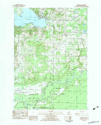 1982 Onekama1983 Print · USGSThe Manistee County coastline and the Manistee River valley are shown in detail during the early eighties. Researchers can trace the Chesapeake and Ohio railroad or locate local landmarks like St Joseph Cem Onekama Cem and Norwalk Ch.
 - 1982 Map of Brethren, 1983 Print
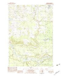 1982 Brethren1983 Print · USGSManistee County's river valleys and forest lands are captured here in the early eighties, showcasing a landscape of isolated settlements and winding waterways. Researchers can locate family landmarks like Brethren Cem, the Indian Mound, and the old rail corridor of the Chesapeake and Ohio.
 - 1983 Map of Manistee
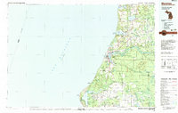 1983 Manistee1983 Print · USGSThe Lake Michigan shoreline and the wooded interior of Manistee and Mason Counties are shown here during the early 1980s. Genealogists and historians can trace rail-side towns along the Chesapeake and Ohio or explore old routes like the Old Indian Trail and settlements such as Freesoil and Kaleva.
 - 1983 Map of Bear Lake, 1984 Print
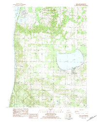 1983 Bear Lake1984 Print · USGSCoastal Manistee County comes to life in the early eighties, showcasing the transition between the Lake Michigan shoreline and the wooded interior. Researchers can trace family sites near Pierport or locate burial records at Conway Cem and Onekama Cem.
 - 2011 Map of Pleasanton, 2011 Print
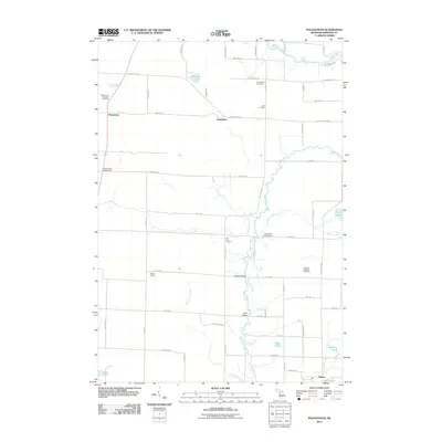 2011 Pleasanton2011 Print · USGSPleasanton and the rural reaches of Manistee County are documented here in the early twenty-first century. Genealogists and local historians can trace family ties at the Pleasanton Township Cemetery, the old Kilborn School, or along the banks of the Betsie River.
 - 2011 Map of Bear Lake, 2011 Print
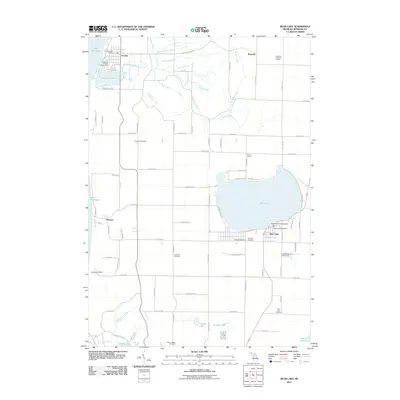 2011 Bear Lake2011 Print · USGSThe Manistee County coastline and its namesake inland waters are detailed here during the early twenty-first century. Genealogists and local historians can locate early burial sites like Conway Cemetery and trace the rural surroundings of Arcadia and Pierport.
 - 2012 Map of Brethren, 2012 Print
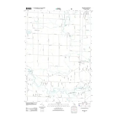 2012 Brethren2012 Print · USGSManistee County's river-fed landscapes are mapped here in the early twenty-first century, featuring the southern reaches of the Manistee River. You can trace the geography of local life through landmarks like the High Bridge, Brethren Cem, and the community of Chief Lake.
 - 2012 Map of Onekama, 2012 Print
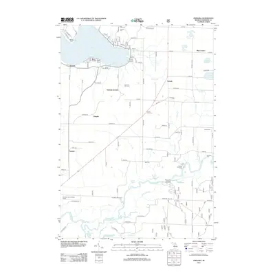 2012 Onekama2012 Print · USGSThis Manistee County lakefront and river valley were well established by the early twenty-first century. Genealogists and local historians can trace rural landmarks from the Manistee County Fairgrounds down to the bayous of the Manistee River and the Kenny School.
 - 2014 Map of Pleasanton, 2014 Print
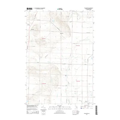 2014 Pleasanton2014 Print · USGSNorthern Michigan’s rural townships are documented here during the early twenty-first century, showing a landscape of small settlements and inland waters. Researchers can locate family sites at the Pleasanton Township Cem or trace crossings at Bonds Bridge and Jopp Bridge.
 - 2014 Map of Onekama, 2014 Print
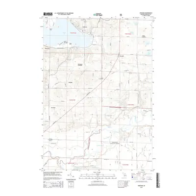 2014 Onekama2014 Print · USGSOnekama and the shores of Portage Lake are captured here in the early twenty-first century, showing the balance of lakeside resort life and deep forest. Genealogists can locate family sites at Onekama Cem or the Riverview Cem near the Manistee River.
 - 2014 Map of Brethren, 2014 Print
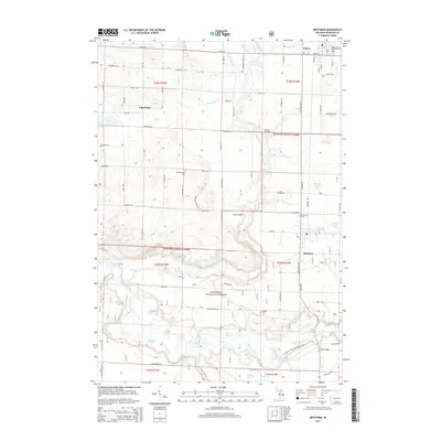 2014 Brethren2014 Print · USGSInland Manistee County remains a landscape of dense forests and river bayous in this 2010s survey. Researchers can locate several community burial grounds such as Pleasantview Cem and Brethren Cem, or trace the path of the N Country National Scenic Trail.
 - 2014 Map of Bear Lake, 2014 Print
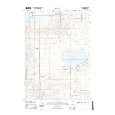 2014 Bear Lake2014 Print · USGSThe Lake Michigan coast and the inland shores of Bear Lake define this part of Manistee County in the early twenty-first century. Local historians can locate numerous burial sites like Pilgrim Home Cem and trace the paths of Bowens Cr and Hull Cr.
 - 2017 Map of Onekama, 2017 Print
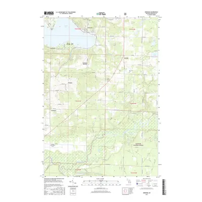 2017 Onekama2017 Print · USGSPortage Lake and the Manistee River valley are captured in this modern survey of coastal Michigan. Genealogists and researchers can trace local family history through sites like Onekama Cem, the settlement at Norwalk, and the Riverview Cem near the river's edge.
 - 2017 Map of Bear Lake, 2017 Print
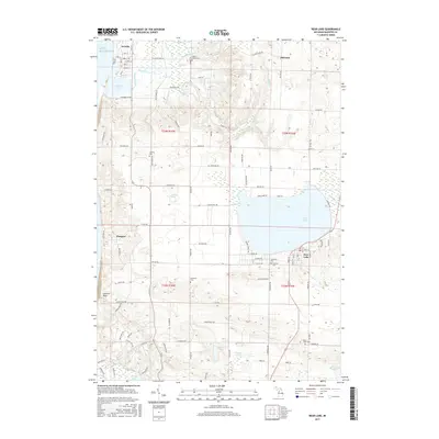 2017 Bear Lake2017 Print · USGSCoastal Manistee County is documented here at the turn of the decade, showing the transition from Lake Michigan's dunes to fertile inland basins. Researchers can trace family history through sites like Pilgrim Home Cem, Pierport, and Bear Lake Cem.
 - 2017 Map of Pleasanton, 2017 Print
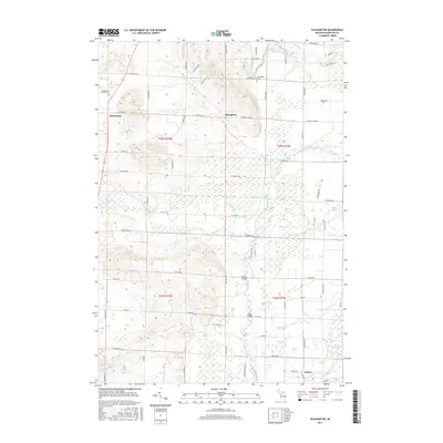 2017 Pleasanton2017 Print · USGSManistee County's rural interior comes into focus during this mid-2010s survey, showing the relationship between small villages and the complex river systems of Northwest Michigan. Researchers can locate family sites near Kaleva or trace early infrastructure at Bonds Bridge and the Pleasanton Township Cem.
 - 2017 Map of Brethren, 2017 Print
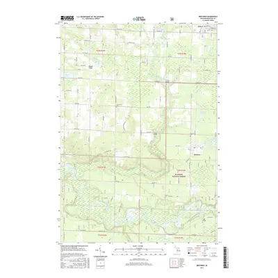 2017 Brethren2017 Print · USGSThe Manistee County backcountry comes into focus in this recent survey of the forested river valleys and small settlements near Kaleva. Researchers can trace old family burial sites at Maple Grove Township Cem or follow the river path past High Bridge and Browns Bayou.
 - 2019 Map of Pleasanton, 2019 Print
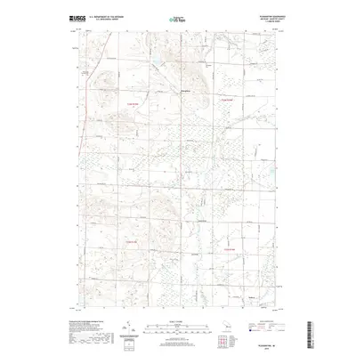 2019 Pleasanton2019 Print · USGSManistee County in the late twenty-teens remains a landscape of winding creeks and quiet rural settlements. Genealogists and local historians can trace family plots at Springdale Cem or locate historic crossings like Bonds Bridge and Jopp Bridge.
Showing maps 1-25 of 32
Top cities near Bear Lake Township
- Manistee historical maps
- Pleasanton historical maps
- Parkdale historical maps
- Onekama historical maps
- Arcadia historical maps
- Weldon historical maps
See more
Top neighborhoods of Bear Lake Township
Frequently asked questions
- What are the different types of historical maps available for Bear Lake Township?
- What is the oldest map of Bear Lake Township?
- Where can I purchase historical maps of Bear Lake Township for my home or office?
- Where can I download high-res historical maps of Bear Lake Township?
- Are there historical topographic maps available for Bear Lake Township?
- Is there historical aerial imagery available for Bear Lake Township?
- Where are historical maps of Bear Lake Township sourced from?