Old Maps of Maple Grove Township, Michigan for Metal Detecting
Plan your next treasure hunt with 35 historic maps of Maple Grove Township. Find old homesites, ghost towns, trails, and gathering spots that may be lost to time — perfect for identifying promising metal detecting locations.
- Locate forgotten sites: Uncover places like long-lost settlements, abandoned rail lines, or gathering spots.
- Plan better hunts: Use map overlays combined with LiDAR or satellite views to narrow in on historically rich areas.
- Made for detectorists: Thousands of hobbyists use these maps to discover relics, coins, and hidden history.
Use these historic maps to boost your research and find new opportunities beneath the surface of Maple Grove Township.
Maple Grove Township, MI maps
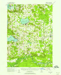
(35)- 1954 Map of Traverse City, 1965 Print
 1954 Traverse City1965 Print · USGSNorthern Michigan’s vast lakeshores and timberlands are captured here in the mid-fifties, showing the region before the modern interstate era. Genealogists and researchers can trace rail connections like the Detroit and Mackinac RR or find old communities such as Suttons Bay, Elk Rapids, and Prudenville.4 unique versions available
 - 1954 Map of Manitowoc, 1968 Print
 1954 Manitowoc1968 Print · USGSLake Michigan served as a vital transit corridor in the mid-fifties, with car and auto ferries linking the industrial ports of Wisconsin to the Michigan timberlands. Genealogists and maritime historians can trace active ferry routes like the Ann Arbor Railway Car and Auto Ferry and locate early settlements from Brussels to Algoma.2 unique versions available
 - 1956 Map of Onekama, 1958 Print
 1956 Onekama1958 Print · USGSThe Manistee County shoreline and inland timberlands are captured here in the mid-1950s. Trace old township life through landmarks like Bear Lake, the Indian Village, and several schools including the Merritt Sch.3 unique versions available
 - 1957 Map of Copemish, 1958 Print
 1957 Copemish1958 Print · USGSNorthwest Michigan in the late fifties was a landscape of deep forests and river-driven power. Genealogists and historians can trace the foundations of Copemish or locate family plots at Marilla Cem and the Harlan Cem near the Hodenpyle Dam.3 unique versions available
 - 1958 Map of Traverse City
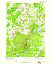
 1958 Traverse City1958 Print · USGSNorthern Lower Michigan was a landscape of vast state forests and burgeoning lakeside retreats in the late fifties. Genealogists and historians can trace the rail corridors of the Ann Arbor RR and find established settlements from Elk Rapids to Houghton Lake.2 unique versions available
 - 1958 Map of Manitowoc
 1958 Manitowoc1958 Print · USGSLake Michigan and its shorelines are shown in the late fifties when maritime transport defined the region. Researchers can trace the routes of the Ann Arbor Railroad Ferry or locate old settlements like St. Nazianz, Rostock, and Two Creeks.
 - 1976 Map of Onekama SE
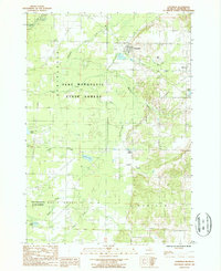
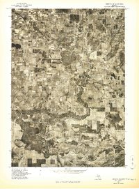 1976 Onekama SE1976 Print · USGSManistee County in the mid-1970s is captured here through detailed aerial imagery, showing the rural landscape and river system. Genealogists and local historians can trace the early footprints of Kaleva, Brethren, and the small settlement at Chief Lake.
 - 1976 Map of Onekama NE
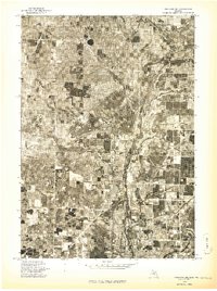 1976 Onekama NE1976 Print · USGSManistee County in the mid-1970s is captured here through detailed aerial photography, showing the rural landscape as it appeared just before modern expansion. Genealogists and land researchers can pinpoint specific farmsteads near Kaleva and Pleasanton or trace the path of the Betsie River.
 - 1982 Map of Pleasanton, 1983 Print
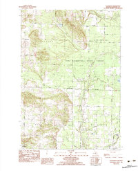 1982 Pleasanton1983 Print · USGSManistee County in the early eighties shows a transition from traditional timber and rail land toward modern resource management. Researchers can locate the Township Cem near Pleasanton, family-named bridges like Jopp Bridge, and the Chesapeake and Ohio tracks.2 unique versions available
 - 1982 Map of Brethren, 1983 Print
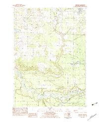 1982 Brethren1983 Print · USGSManistee County's river valleys and forest lands are captured here in the early eighties, showcasing a landscape of isolated settlements and winding waterways. Researchers can locate family landmarks like Brethren Cem, the Indian Mound, and the old rail corridor of the Chesapeake and Ohio.
 - 1983 Map of Manistee
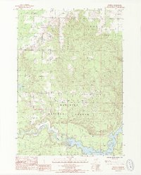
 1983 Manistee1983 Print · USGSThe Lake Michigan shoreline and the wooded interior of Manistee and Mason Counties are shown here during the early 1980s. Genealogists and historians can trace rail-side towns along the Chesapeake and Ohio or explore old routes like the Old Indian Trail and settlements such as Freesoil and Kaleva.
 - 1983 Map of Cadillac, 1984 Print
 1983 Cadillac1984 Print · USGSThe Cadillac region in the early eighties was defined by its vast public forests and the prominent dual lakes at its center. Trace the legacies of the timber era along the Old Railroad Grade or locate old rural centers like Vogel Center and Harrietta.
 - 1987 Map of Copemish, 1988 Print
 1987 Copemish1988 Print · USGSIn the Manistee County woodlands during the late 1980s, this survey shows the village of Copemish and its surrounding state forest lands. Genealogists and historians can trace local landmarks like Yates Corner, the remote Lake Salma, and the numbered creek systems within the Pere Marquette State Forest.
 - 1987 Map of Marilla, 1988 Print
 1987 Marilla1988 Print · USGSManistee County's northern forests and river valleys are captured here in the late eighties, dominated by the Dickson Manistee National Forest. Genealogists and historians can trace the Old Indian Treaty Boundary or locate specific sites like Tippy Dam and the settlement of Marilla.2 unique versions available
 - 1989 Map of Traverse City, 1990 Print
 1989 Traverse City1990 Print · USGSNorthern Michigan’s lake-country and forest lands are captured in the late eighties as seasonal tourism and timber hubs expanded. Genealogists and historians can trace the routes of the Ann Arbor RR, the boundaries of Camp Grayling, and settlements like Elk Rapids and Manton.
 - 2011 Map of Pleasanton, 2011 Print
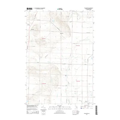
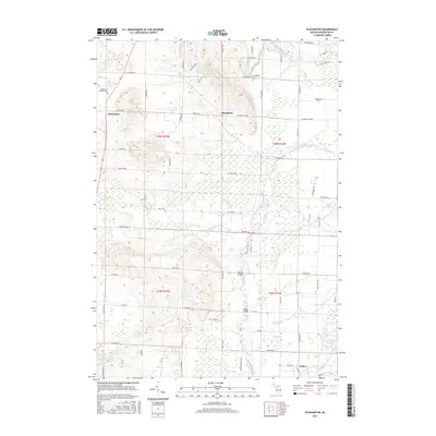
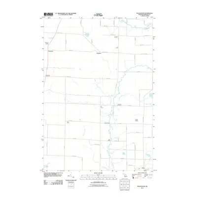 2011 Pleasanton2011 Print · USGSCovers Maple Grove Township, including Pleasanton, Kaleva, and other nearby areas
 - 2011 Map of Copemish, 2011 Print
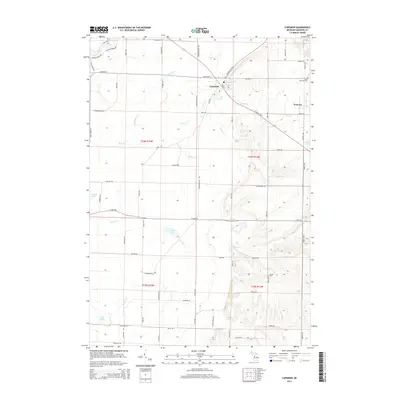
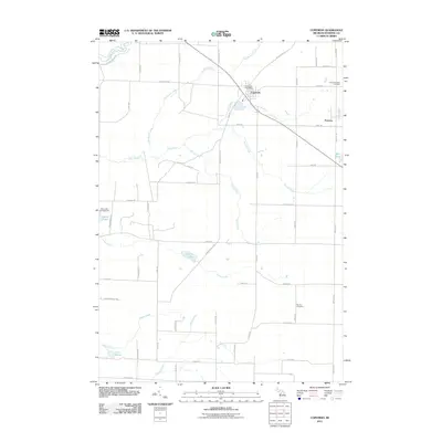 2011 Copemish2011 Print · USGSCovers Maple Grove Township, including Copemish, Pomona, and other nearby areas
 - 2012 Map of Brethren, 2012 Print
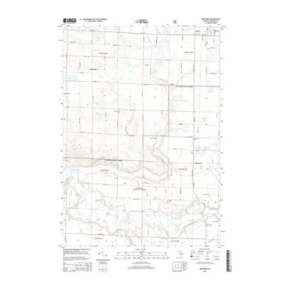
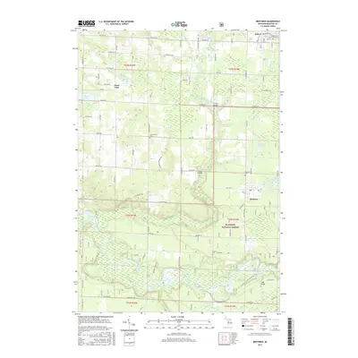
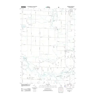 2012 Brethren2012 Print · USGSCovers Maple Grove Township, including Kaleva, Brethren, and other nearby areas
 - 2012 Map of Marilla, 2012 Print
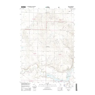
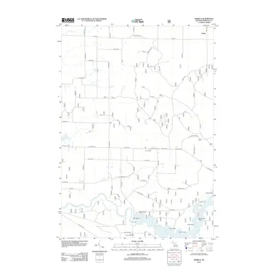 2012 Marilla2012 Print · USGSCovers Maple Grove Township, including Marilla, Norman Township, and other nearby areas
 - 2014 Map of Pleasanton, 2014 Print
 2014 Pleasanton2014 Print · USGSCovers Maple Grove Township, including Pleasanton, Kaleva, and other nearby areas
 - 2014 Map of Brethren, 2014 Print
 2014 Brethren2014 Print · USGSCovers Maple Grove Township, including Kaleva, Brethren, and other nearby areas
 - 2014 Map of Copemish, 2014 Print
 2014 Copemish2014 Print · USGSCovers Maple Grove Township, including Copemish, Pomona, and other nearby areas
 - 2014 Map of Marilla, 2014 Print
 2014 Marilla2014 Print · USGSCovers Maple Grove Township, including Marilla, Norman Township, and other nearby areas
 - 2017 Map of Pleasanton, 2017 Print
 2017 Pleasanton2017 Print · USGSCovers Maple Grove Township, including Pleasanton, Kaleva, and other nearby areas
 - 2017 Map of Brethren, 2017 Print
 2017 Brethren2017 Print · USGSCovers Maple Grove Township, including Kaleva, Brethren, and other nearby areas
Showing maps 1-25 of 35
Top cities near Maple Grove Township
- Green Lake Township historical maps
- Grant Township historical maps
- Pleasanton historical maps
- Onekama historical maps
- Weldon historical maps
- Kaleva historical maps
See more
Top neighborhoods of Maple Grove Township
Frequently asked questions
- What are the different types of historical maps available for Maple Grove Township?
- What is the oldest map of Maple Grove Township?
- Where can I purchase historical maps of Maple Grove Township for my home or office?
- Where can I download high-res historical maps of Maple Grove Township?
- Are there historical topographic maps available for Maple Grove Township?
- Is there historical aerial imagery available for Maple Grove Township?
- Where are historical maps of Maple Grove Township sourced from?