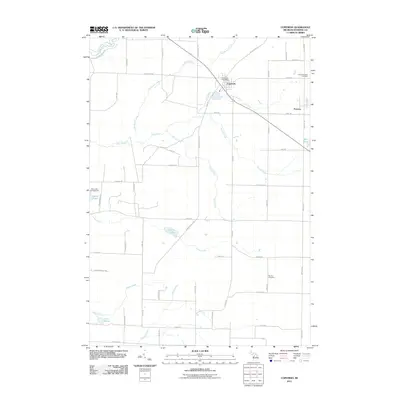
2011 Map of Copemish
USGS Topo · Published 2011About this map
Copemish sits at the northern intersection of Thompsonville Rd and Nessen City Rd, serving as the primary civic anchor for this portion of Cleon Township. The village is well-defined by its Copemish Post Office and proximity to the Cleon Township Cemetery to the east. The landscape is deeply influenced by a network of waterways, including the Betsie River in the northwest and a sequence of numbered tributaries—First Creek, Second Creek, and Third Creek—that drain the central plains. To the south, the terrain transitions into a more water-pocked area featuring Lemon Lake and Lake Salma. The settlement of Pomona appears in the east, while the Marilla Cemetery marks the lower reaches of the map along Erwin Rd. This area reflects a late-twentieth-century rural grid dominated by family-named roads like Lintula Rd and Puustinen Rd.
Find a feature on this map
54 named features on this map. Tap any name to fly to it.
Don’t see what you’re looking for? This feature index may not catch every label — zoom into the map to look around manually.
Map Details
Editions of this 2011 Copemish Map
This is the sole edition of this map. No revisions or reprints were ever made.
Other maps of this area

1954 · Traverse City
USGS Topo · 1:250,000

1954 · Manitowoc
USGS Topo · 1:250,000

1956 · Onekama
USGS Topo · 1:62,500

1956 · Thompsonville
USGS Topo · 1:62,500

1956 · Frankfort
USGS Topo · 1:62,500

1957 · Copemish
USGS Topo · 1:62,500

1958 · Traverse City
USGS Topo · 1:250,000

1958 · Manitowoc
USGS Topo · 1:250,000

1976 · Frankfort SE
USGS Topo · 1:24,000

1976 · Onekama SE
USGS Topo · 1:24,000