Old Maps of Ishpeming Township, Michigan for Hiking & Exploration
Hike through history with 46 historic maps of Ishpeming Township. Explore old trails, ghost towns, and forgotten backroads — perfect for outdoor adventurers and local explorers.
- Rediscover forgotten places: Map out old mining camps, roads, and footpaths that no longer exist on modern maps.
- Layer with modern tools: Combine with LiDAR or satellite views to plan hikes through historical terrain.
- Made for exploration: Popular among hikers, overlanders, and local history lovers.
Use these maps to find adventure and explore the hidden past of Ishpeming Township.
Ishpeming Township, MI maps
(46)- 1952 Map of Ishpeming, 1954 Print
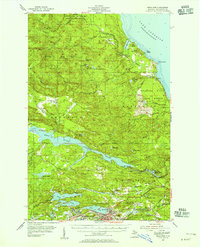
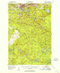 1952 Ishpeming1954 Print · USGSMarquette County’s iron mining heartland is shown in the early fifties, detailing the industrial hubs of Ishpeming and Negaunee. Genealogists and historians can trace rail-side settlements like Frenchtown and Winthrop Junction alongside the Tracy Mine.4 unique versions available
 - 1952 Map of Ishpeming, 1954 Print
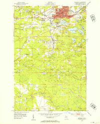 1952 Ishpeming1954 Print · USGSIshpeming and the Marquette Iron Range were hubs of post-war industrial activity when this survey was conducted. Local historians can trace the intricate rail network at Winthrop Junction or locate family roots near the Tilden Mine and National Mine.4 unique versions available
 - 1953 Map of Negaunee, 1955 Print
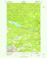 1953 Negaunee1955 Print · USGSMid-century Marquette County reveals a landscape defined by the iron industry and rail expansion. Genealogists and industrial historians can trace the workings of the Mather Mine B, locate the Negaunee Cemetery, or follow the Lake Superior and Ishpeming railroad.4 unique versions available
 - 1954 Map of Negaunee SW, 1955 Print
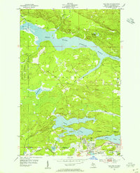 1954 Negaunee SW1955 Print · USGSThe iron-rich hills of the Marquette Range are shown in the mid-fifties, when mining and rail operations defined local life. Trace the industrial footprint of Morris Mine and Lloyd Mine alongside the sprawling waters of the Dead River Storage Basin.4 unique versions available
 - 1954 Map of Negaunee, 1955 Print
 1954 Negaunee1955 Print · USGSIron mining and hydroelectric power define the Marquette Range in the mid-fifties. Genealogists and industrial historians can trace the workings of the Mather Mine A, the Eagle Mills settlement, and the Morgan Heights Sanatorium.3 unique versions available
 - 1954 Map of Big Bay, 1956 Print
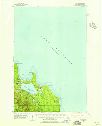 1954 Big Bay1956 Print · USGSBig Bay and the Marquette County shoreline are documented here in the mid-1950s as a mix of remote state forest and coastal settlement. Genealogists and local historians can trace the community around Big Bay and Lake Independence, finding landmarks like the lighthouse and Alder Cem.3 unique versions available
 - 1958 Map of Marquette, 1968 Print
 1958 Marquette1968 Print · USGSThe Upper Peninsula’s central corridor is captured here in the mid-twentieth century as mining and timber industries thrived alongside new military installations. Genealogists and historians can trace the rail lines of the Soo Line Railroad through settlements like Gwinn, Turin, and Chatham.2 unique versions available
 - 1960 Map of Marquette
 1960 Marquette1960 Print · USGSUpper Peninsula mining and maritime commerce reach their peak in the late fifties across the Lake Superior shoreline. Genealogists and historians can locate remote settlements like Big Bay and Dukes, while tracing the Cyr Mine and the active rail lines of the Lake Superior and Ishpeming railroad.
 - 1961 Map of Marquette
 1961 Marquette1961 Print · USGSUpper Peninsula life in the early sixties centered on the iron docks and timber stands of the Lake Superior shore. Genealogists and historians can trace rail-to-port connections via the Lake Superior and Ishpeming Railroad and locate active sites like Republic Mine or the K.I. Sawyer Air Force Base.
 - 1968 Map of Marquette, 1977 Print
 1968 Marquette1977 Print · USGSThe Upper Peninsula iron range and Lake Superior coastline are captured here in the late sixties. Genealogists and historians can trace the rail-to-port infrastructure and the Cold War presence of K I Sawyer Air Force Base alongside towns like Ishpeming and Munising.
 - 1983 Map of Gwinn
 1983 Gwinn1983 Print · USGSThe heart of Michigan's Marquette Iron Range is captured here during the 1980s, when mining and military operations defined the local landscape. Genealogists and industrial historians can trace the tracks of the Chicago and North Western to the National Mine or the airman's life at K I Sawyer Air Force Base.2 unique versions available
 - 1985 Map of Big Bay
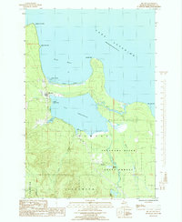 1985 Big Bay1985 Print · USGSMarquette County's northern coast is documented here in the mid-1980s, centered on the settlement of Big Bay and its lumbering roots. Researchers can trace the Old RR Grade through the Escanaba River State Forest or locate family sites near Homeier and Burns Landing.
 - 1985 Map of Buckroe
 1985 Buckroe1985 Print · USGSMarquette County's rugged Lake Superior coastline is captured here in the mid-1980s, showcasing a landscape of state forests and quiet river outlets. You can trace the Old Railroad Grade past Garlic Mountain or locate the old Sawmill and the settlement at Buckroe.
 - 1985 Map of Marquette
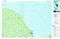 1985 Marquette1985 Print · USGSThe iron mining country of Michigan's Upper Peninsula is shown here during the mid-1980s as industrial transport networks connected the interior to the coast. Researchers can trace historic rail lines like the Soo Line and Ls&I or locate local landmarks like Holy Cross Cem and Northern Michigan University.3 unique versions available
 - 1985 Map of Negaunee NW
 1985 Negaunee NW1985 Print · USGSThe backcountry of Marquette County is documented in the mid-eighties, showing the transition between the Escanaba River State Forest and the surrounding townships. Trace the paths of the Yellow Dog River and discover remote landmarks like Hairpin Curve and Third Bass Lake.2 unique versions available
 - 1996 Map of Negaunee NW, 1999 Print
 1996 Negaunee NW1999 Print · USGSUpper Peninsula timberlands and headwaters are captured here in the mid-1990s as the wilderness north of Ishpeming remained largely undeveloped. You can trace the Old Grade and Yellow Dog River or locate remote camps near Regan Lake and First Bass Lake.
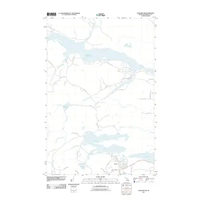
 - 2011 Map of Big Bay, 2011 Print
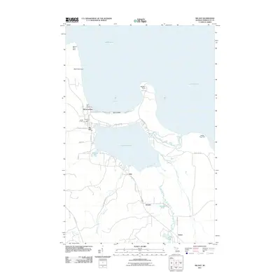 2011 Big Bay2011 Print · USGSCovers Ishpeming Township, including Big Bay, Alder, and other nearby areas
 - 2011 Map of Ishpeming, 2011 Print
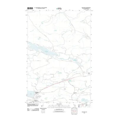
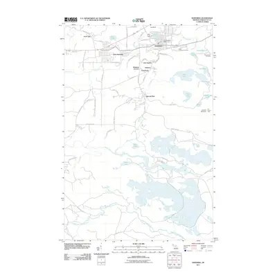 2011 Ishpeming2011 Print · USGSCovers Ishpeming Township, including Ishpeming, Negaunee, and other nearby areas
 - 2011 Map of Buckroe, 2011 Print
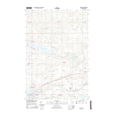
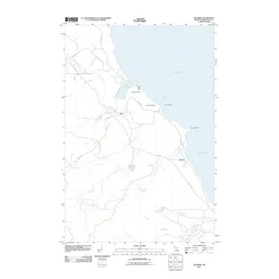 2011 Buckroe2011 Print · USGSCovers Ishpeming Township, including Halfway Village, Buckroe, and other nearby areas
 - 2011 Map of Negaunee NW, 2011 Print
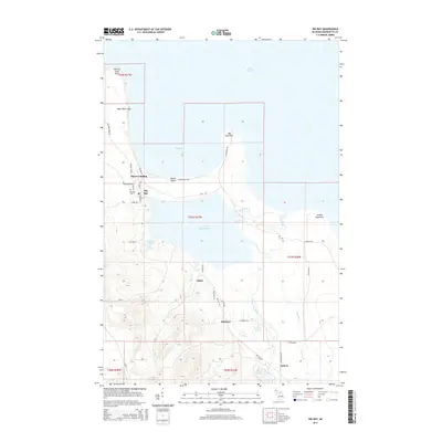
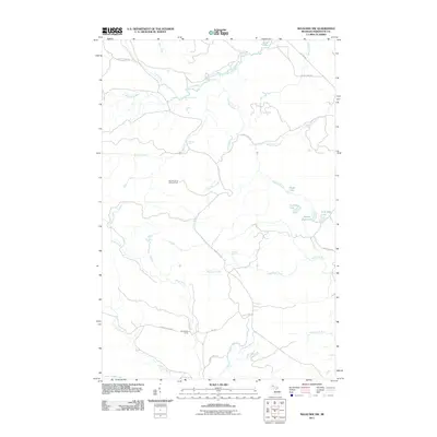 2011 Negaunee NW2011 Print · USGSCovers Ishpeming Township, including Powell Township, Champion Township, and other nearby areas
 - 2011 Map of Negaunee SW, 2011 Print
 2011 Negaunee SW2011 Print · USGSCovers Ishpeming Township, including Ishpeming, Negaunee, and other nearby areas
 - 2011 Map of Negaunee, 2011 Print
 2011 Negaunee2011 Print · USGSCovers Ishpeming Township, including Negaunee, Eagle Mills, and other nearby areas
 - 2014 Map of Negaunee, 2014 Print
 2014 Negaunee2014 Print · USGSCovers Ishpeming Township, including Negaunee, Eagle Mills, and other nearby areas
 - 2014 Map of Big Bay, 2014 Print
 2014 Big Bay2014 Print · USGSCovers Ishpeming Township, including Big Bay, Alder, and other nearby areas
 - 2014 Map of Buckroe, 2014 Print
 2014 Buckroe2014 Print · USGSCovers Ishpeming Township, including Halfway Village, Buckroe, and other nearby areas
Showing maps 1-25 of 46
Top cities near Ishpeming Township
- Marquette historical maps
- Ishpeming historical maps
- Negaunee historical maps
- Humboldt historical maps
- Palmer historical maps
- Big Bay historical maps
Top neighborhoods of Ishpeming Township
Frequently asked questions
- What are the different types of historical maps available for Ishpeming Township?
- What is the oldest map of Ishpeming Township?
- Where can I purchase historical maps of Ishpeming Township for my home or office?
- Where can I download high-res historical maps of Ishpeming Township?
- Are there historical topographic maps available for Ishpeming Township?
- Is there historical aerial imagery available for Ishpeming Township?
- Where are historical maps of Ishpeming Township sourced from?