2020s Maps of Michigamme Township, Michigan
Explore 8 historic maps of Michigamme Township from the 2020s. These maps offer a rare glimpse into what life looked like during the 2020s — showing old roads, neighborhoods, homes, and landmarks that have changed or disappeared over time.
Whether you're researching your family's past, planning a metal detecting trip, or studying how Michigamme Township's landscape evolved across the 2020s, these high-resolution maps are a powerful tool for exploring the history of this region.
- Focus on a specific era: All maps on this page are from the 2020s, giving you a focused view of this time period.
- See what’s changed: Compare century-old streets, trails, and buildings to today's modern landscape using overlays and satellite layers.
- Research with precision: Use these maps for genealogy, historical research, land use analysis, or educational projects.
- View, download, or print: Maps are fully viewable online in high resolution, and can be downloaded or printed for your own records.
Start exploring Michigamme Township's history through authentic maps from the 2020s. This is your window into the past.
Michigamme Township, MI maps
(8)- 2023 Map of Champion, 2023 Print
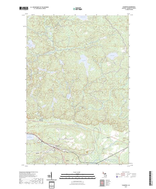 2023 Champion2023 Print · USGSThe iron mining country of Marquette County comes into focus in the early twenty-first century, showing the established communities of Champion and Beacon. Researchers can trace local heritage sites like Sacred Heart Cem and the route of the Iron Ore Heritage Trl near Lake Michigamme.
 - 2023 Map of Summit Lake, 2023 Print
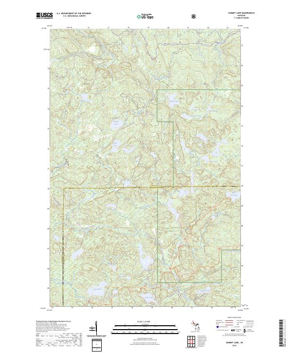 2023 Summit Lake2023 Print · USGSThe northern woods of Baraga and Marquette counties are captured here in the early twenty-first century. Genealogists and hikers can trace old logging routes like the Huron Bay Grade and explore the remote McCormick Wilderness.
 - 2023 Map of Silver Lake Basin, 2023 Print
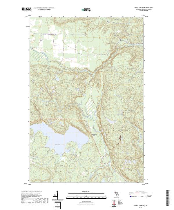 2023 Silver Lake Basin2023 Print · USGSMarquette County's high wilderness is documented here in the early 2020s, showing the vast hydrological network north of the Silver Lake Basin. Hikers and conservationists can trace the North Country National Scenic Trl past landmarks like Pinnacle Falls and Mulligan Plains.
 - 2023 Map of Mountain Lake, 2023 Print
 2023 Mountain Lake2023 Print · USGSThe Huron Mountains take center stage in this 2023 survey of the Michigan backcountry. You can trace the complex network of mountain summits and river systems from Mount Ida and Trout Mountain to the waters of Forty Foot Falls and Lumberman Bay.
 - 2023 Map of Michigamme, 2023 Print
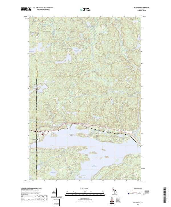 2023 Michigamme2023 Print · USGSUpper Peninsula lake life and northwoods geography converge at Michigamme in this contemporary record of the shoreline and its islands. Genealogists and researchers can locate Lakeview Cem and trace landmarks like Sundstrum Island or the Huron Bay Grade.
 - 2023 Map of McComb Corner, 2023 Print
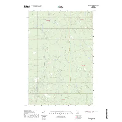 2023 McComb Corner2023 Print · USGSThe northern wilderness along the Baraga and Marquette county line is defined by the complex river systems of the Huron Mountains. Hikers and cartography enthusiasts can trace the numerous cascades along the West Branch Huron River, including Big Ericks Falls and Letherby Falls.
 - 2023 Map of Bulldog Lake, 2023 Print
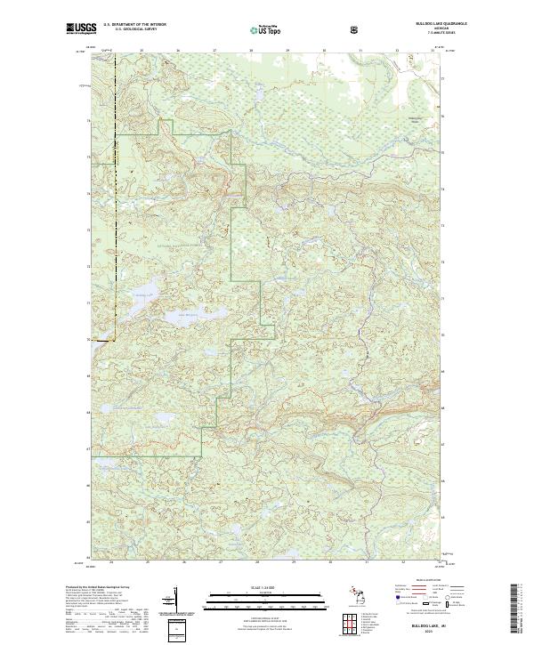 2023 Bulldog Lake2023 Print · USGSThe Upper Peninsula’s interior wilderness is documented here in the early twenty-first century, spanning the rugged border between Baraga and Marquette counties. Outdoor historians can trace the North Country National Scenic Trl past Lake Raymond and the remote Yellow Dog Falls.
 - 2023 Map of Ives Hill, 2023 Print
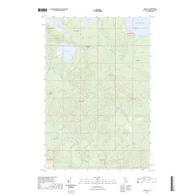 2023 Ives Hill2023 Print · USGSMarquette County's high wilderness and private forest lands are documented here in the early twenty-first century. Researchers can trace the complex waterways of the Salmon Trout River and find landmarks like Eighty-Foot Falls and Mount Ives.
End of results
Showing maps 1-8 of 8
Top cities near Michigamme Township
Top neighborhoods of Michigamme Township
Frequently asked questions
- What are the different types of historical maps available for Michigamme Township?
- What is the oldest map of Michigamme Township?
- Where can I purchase historical maps of Michigamme Township for my home or office?
- Where can I download high-res historical maps of Michigamme Township?
- Are there historical topographic maps available for Michigamme Township?
- Is there historical aerial imagery available for Michigamme Township?
- Where are historical maps of Michigamme Township sourced from?