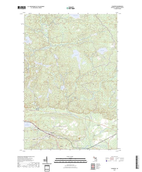
2023 Map of Champion
USGS Topo · Published 2023About this map
Champion and Beacon serve as the primary centers of settlement in this part of Marquette County, where the local street grid including Dalliba St and Graphite St meets the Iron Ore Heritage Trl. The geography is defined by a dense network of water bodies, most notably the eastern reach of Lake Michigamme and the winding course of the Middle Branch Escanaba River. Small clusters like Wobic and Martins Landing are situated along the transit corridors that link these remote Michigan woods.
Find a feature on this map
54 named features on this map. Tap any name to fly to it.
Don’t see what you’re looking for? This feature index may not catch every label — zoom into the map to look around manually.
Map Details
Editions of this 2023 Champion Map
This is the sole edition of this map. No revisions or reprints were ever made.
Other maps of this area

1899 · Witbeck
USGS Topo · 1:62,500

1955 · Champion
USGS Topo · 1:24,000

1955 · Diorite
USGS Topo · 1:24,000

1955 · Witch Lake NE
USGS Topo · 1:24,000

1955 · Greenwood
USGS Topo · 1:24,000

1955 · Republic
USGS Topo · 1:62,500

1955 · Republic
USGS Topo · 1:24,000

1955 · Witch Lake
USGS Topo · 1:62,500

1955 · Champion
USGS Topo · 1:62,500

1956 · Michigamme
USGS Topo · 1:62,500