Old Maps of Turin Township, Michigan for Academic Research
Study the evolution of Turin Township with 30 high-resolution historic maps. Whether you're teaching, researching, or modeling changes in land use, these maps provide essential visual documentation of urban, environmental, and geographic change.
- Analyze long-term change: Track patterns in development, transportation, and natural features.
- Ideal for environmental or urban studies: Support academic projects with primary historical map data.
- Use in the classroom or lab: Educators and researchers rely on these maps to bring historical context to life.
These maps are a powerful tool for teaching, research, and visualizing how Turin Township has changed over the decades.
Turin Township, MI maps
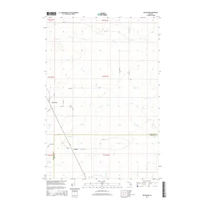
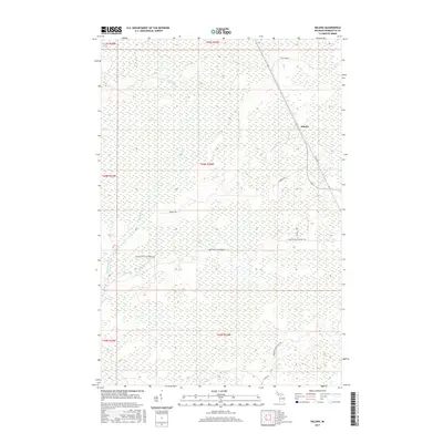
(30)- 1932 Map of Helena NE
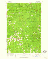
 1932 Helena NE1932 Print · USGSMarquette County's logging and rail infrastructure are on full display in the early 1930s before modern development altered the Upper Peninsula. Genealogists and historians can trace numerous remote outposts like Rochenon Camp, Anderson Camp, and the settlement of Helena.
 - 1932 Map of Rock NE
 1932 Rock NE1932 Print · USGSThe timber-heavy border between Alger and Delta Counties comes to life in the early thirties. Trace the legacy of old logging camps and homesteads like Suomi Camp, Gould Homestead, and the Osier Sch along the Chicago and Northwestern rail line.
 - 1932 Map of Rock NW
 1932 Rock NW1932 Print · USGSMarquette and Delta counties are shown in the early thirties when logging camps and railroads defined life in the Upper Peninsula. Genealogists can trace family-named outposts like Selins Camp, Stenlund Camp, and the settlement of McFarland.
 - 1951 Map of Helena NE
 1951 Helena NE1951 Print · USGSMarquette County's interior timberlands and marshes come into focus in the early 1950s, showing a landscape defined by seasonal outposts and rail transit. Genealogists and historians can trace old sites like Rochenon Camp, Helena, and the Parker Spur rail siding.
 - 1958 Map of Rock, 1959 Print
 1958 Rock1959 Print · USGSUpper Peninsula timberlands and small rail-side settlements are captured here in the late fifties, just as forest management patterns were maturing. Researchers can trace family roots through locations like Rock, McFarland, and Hillview Cem along the Chicago and Northwestern line.3 unique versions available
 - 1958 Map of Marquette, 1968 Print
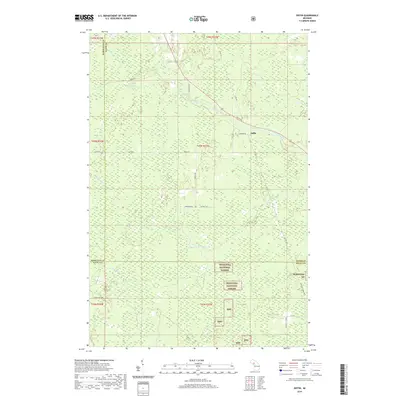
 1958 Marquette1968 Print · USGSThe Upper Peninsula’s central corridor is captured here in the mid-twentieth century as mining and timber industries thrived alongside new military installations. Genealogists and historians can trace the rail lines of the Soo Line Railroad through settlements like Gwinn, Turin, and Chatham.2 unique versions available
 - 1960 Map of Marquette
 1960 Marquette1960 Print · USGSUpper Peninsula mining and maritime commerce reach their peak in the late fifties across the Lake Superior shoreline. Genealogists and historians can locate remote settlements like Big Bay and Dukes, while tracing the Cyr Mine and the active rail lines of the Lake Superior and Ishpeming railroad.
 - 1961 Map of Marquette
 1961 Marquette1961 Print · USGSUpper Peninsula life in the early sixties centered on the iron docks and timber stands of the Lake Superior shore. Genealogists and historians can trace rail-to-port connections via the Lake Superior and Ishpeming Railroad and locate active sites like Republic Mine or the K.I. Sawyer Air Force Base.
 - 1963 Map of Watson, 1964 Print
 1963 Watson1964 Print · USGSUpper Peninsula timber and rail country come into focus during the early sixties, showing the remote settlements of Watson and Arnold. Genealogists and researchers can locate the Forest Home Cem, the Gardner Mine, and the historic Arnold Lookout Tower.
 - 1968 Map of Marquette, 1977 Print
 1968 Marquette1977 Print · USGSThe Upper Peninsula iron range and Lake Superior coastline are captured here in the late sixties. Genealogists and historians can trace the rail-to-port infrastructure and the Cold War presence of K I Sawyer Air Force Base alongside towns like Ishpeming and Munising.
 - 1983 Map of Gwinn
 1983 Gwinn1983 Print · USGSThe heart of Michigan's Marquette Iron Range is captured here during the 1980s, when mining and military operations defined the local landscape. Genealogists and industrial historians can trace the tracks of the Chicago and North Western to the National Mine or the airman's life at K I Sawyer Air Force Base.2 unique versions available
 - 1985 Map of Diffin
 1985 Diffin1985 Print · USGSThe Upper Peninsula timberlands are well-documented in the mid-eighties as they span the borders of Alger, Marquette, and Delta Counties. Researchers can trace the Old RR Grade through the Escanaba River State Forest or locate the settlement at Diffin and nearby Gravel Pits.
 - 1985 Map of McFarland
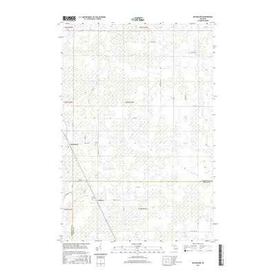
 1985 McFarland1985 Print · USGSMarquette and Delta counties are shown in the mid-eighties, a period of managed timberlands and quiet northern settlements. Researchers can trace the winding course of the Rapid River and locate the small communities of McFarland and Ewing.
 - 1986 Map of Helena
 1986 Helena1986 Print · USGSUpper Peninsula timberlands and river forks come into focus in the mid-1980s as the regional rail network shifted. Genealogists and local historians can trace the Old Railroad Grade near the settlements of Helps and Faunus.
 - 1989 Map of Helena
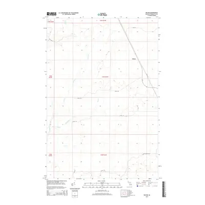
 1989 Helena1989 Print · USGSMarquette County’s forested interior is seen here in the late twentieth century, before modern changes to the landscape. Genealogists and rail historians can trace the Chicago and North Western line through Helena and into the Cyrus Swamp.
 - 2011 Map of Helena, 2011 Print
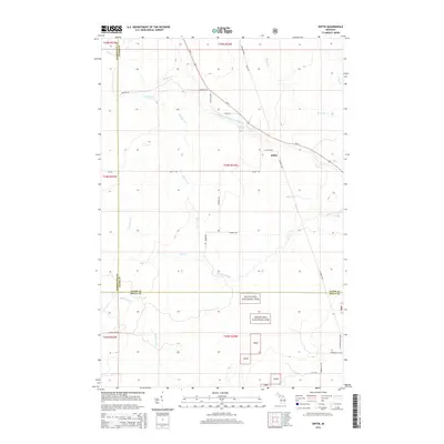
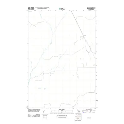 2011 Helena2011 Print · USGSCovers Turin Township, including Forsyth Township, Ewing Township, and other nearby areas
 - 2011 Map of McFarland, 2011 Print
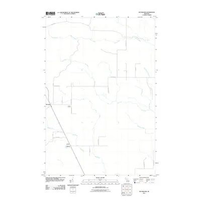 2011 McFarland2011 Print · USGSCovers Turin Township, including Lathrop, Skandia Township, and other nearby areas
 - 2011 Map of Diffin, 2011 Print
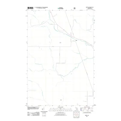 2011 Diffin2011 Print · USGSCovers Turin Township, including Skandia Township, Diffin, and other nearby areas
 - 2014 Map of McFarland, 2014 Print
 2014 McFarland2014 Print · USGSCovers Turin Township, including Lathrop, Skandia Township, and other nearby areas
 - 2014 Map of Helena, 2014 Print
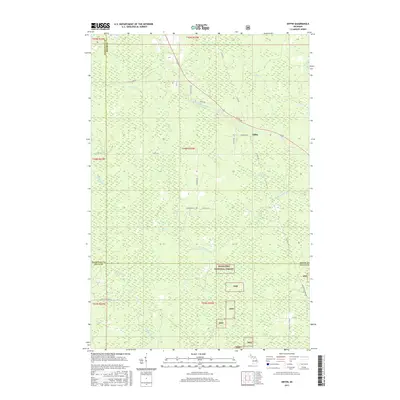
 2014 Helena2014 Print · USGSCovers Turin Township, including Forsyth Township, Ewing Township, and other nearby areas
 - 2014 Map of Diffin, 2014 Print
 2014 Diffin2014 Print · USGSCovers Turin Township, including Skandia Township, Diffin, and other nearby areas
 - 2017 Map of Diffin, 2017 Print
 2017 Diffin2017 Print · USGSCovers Turin Township, including Skandia Township, Diffin, and other nearby areas
 - 2017 Map of Helena, 2017 Print
 2017 Helena2017 Print · USGSCovers Turin Township, including Forsyth Township, Ewing Township, and other nearby areas
 - 2017 Map of McFarland, 2017 Print
 2017 McFarland2017 Print · USGSCovers Turin Township, including Lathrop, Skandia Township, and other nearby areas
 - 2019 Map of Diffin, 2019 Print
 2019 Diffin2019 Print · USGSCovers Turin Township, including Skandia Township, Diffin, and other nearby areas
Showing maps 1-25 of 30
Top cities near Turin Township
Top neighborhoods of Turin Township
Frequently asked questions
- What are the different types of historical maps available for Turin Township?
- What is the oldest map of Turin Township?
- Where can I purchase historical maps of Turin Township for my home or office?
- Where can I download high-res historical maps of Turin Township?
- Are there historical topographic maps available for Turin Township?
- Is there historical aerial imagery available for Turin Township?
- Where are historical maps of Turin Township sourced from?