Old Maps of Free Soil Township, Michigan
Explore 31 old maps of Free Soil Township, spanning from 1931 to today. These high-resolution historic maps reveal how streets, neighborhoods, landmarks, and natural features evolved over time — perfect for genealogy, metal detecting, research, and local history exploration.
What you can do with these maps:
- See how Free Soil Township changed over time: Compare historical maps to modern-day views to trace roads, homesites, rail lines & more.
- View detailed metadata: Each map includes creators, publishers, year, scale, and archive source.
- Overlay maps with satellite & LiDAR: Visualize the past alongside modern tools to explore terrain & human change.
- Trusted historical sources: Maps sourced from the USGS, Library of Congress, and other archives.
- Access maps your way: View online, download high-res files, or order prints for personal or research use.
Start exploring old maps of Free Soil Township to uncover forgotten places, hidden landmarks, and the deep history beneath your feet.
Free Soil Township, MI maps
(31)- 1931 Map of Manistee SE
 1931 Manistee SE1931 Print · USGSMason County townships reveal their rural character in the early 1930s, showing a landscape defined by river forks and a high density of country schools. Genealogists can trace early homesteads near Kings Corner's, Tex, and school sites like Town Hall Sch or Darr Sch.
 - 1931 Map of Freesoil SW
 1931 Freesoil SW1931 Print · USGSMason County’s rural northern townships appear here in the early 1930s as a landscape of small villages and isolated school districts. Genealogists can trace family connections to centers like Freesoil or locate the historic sites of Howell Sch and Bachelor Sch.
 - 1954 Map of Manitowoc, 1968 Print
 1954 Manitowoc1968 Print · USGSLake Michigan served as a vital transit corridor in the mid-fifties, with car and auto ferries linking the industrial ports of Wisconsin to the Michigan timberlands. Genealogists and maritime historians can trace active ferry routes like the Ann Arbor Railway Car and Auto Ferry and locate early settlements from Brussels to Algoma.2 unique versions available
 - 1957 Map of Freesoil, 1958 Print
 1957 Freesoil1958 Print · USGSNorth of the Mason County line in the late fifties, the landscape is a patchwork of national forest and fading rural school districts. Genealogists can locate family landmarks like Tomaszewski Sch or trace the Chesapeake and Ohio rail line through Freesoil.3 unique versions available
 - 1958 Map of Manitowoc
 1958 Manitowoc1958 Print · USGSLake Michigan and its shorelines are shown in the late fifties when maritime transport defined the region. Researchers can trace the routes of the Ann Arbor Railroad Ferry or locate old settlements like St. Nazianz, Rostock, and Two Creeks.
 - 1958 Map of Manistee, 1959 Print
 1958 Manistee1959 Print · USGSThe Lake Michigan shoreline and Manistee River valley appear here in the late fifties, showcasing the region's transition from industrial port to forest recreation. Trace local genealogy and history through landmarks like Stronach, the Old Freesoil Sch, and Sacred Heart Ch.3 unique versions available
 - 1982 Map of Kings Corners, 1983 Print
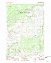 1982 Kings Corners1983 Print · USGSMason County’s transition from the Manistee National Forest to rural homesteads is captured here in the early eighties. Genealogists and local historians can locate West Shore Community College, North Victory Cem, and the quiet crossroads at Kings Corners.
 - 1982 Map of Manistee, 1983 Print
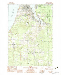 1982 Manistee1983 Print · USGSThe industrial hub of Manistee and its bustling lakefront are captured in the early eighties, showcasing a city defined by rail and river. Researchers can trace the layout of Filer City and Stronach, find family plots at Mt Carmel Cem, or locate schools like Guardian Angel Sch.3 unique versions available
 - 1983 Map of Manistee
 1983 Manistee1983 Print · USGSThe Lake Michigan shoreline and the wooded interior of Manistee and Mason Counties are shown here during the early 1980s. Genealogists and historians can trace rail-side towns along the Chesapeake and Ohio or explore old routes like the Old Indian Trail and settlements such as Freesoil and Kaleva.
 - 1987 Map of Star Corners, 1988 Print
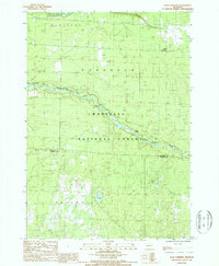 1987 Star Corners1988 Print · USGSManistee and Mason Counties are shown during the late 1980s, an era when vast tracts of river-bottom land were managed for state and federal conservation. Researchers can trace the Old Indian Treaty Boundary or locate historical sites like Star Corners and an Old Railroad Grade.
 - 1987 Map of Freesoil, 1988 Print
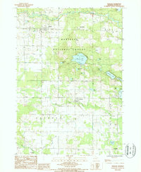 1987 Freesoil1988 Print · USGSMason County's wooded interior and small village centers are captured in the late eighties, just as the local rail and forest landscapes were evolving. Researchers can trace the C & O RR through Freesoil and Fountain or locate the Camp Sauble State Prison and Gun Lake.
 - 2012 Map of Star Corners, 2012 Print
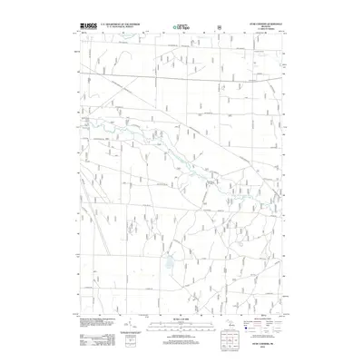 2012 Star Corners2012 Print · USGSStronach Township and the surrounding Manistee County forests are shown here during the early 2010s. Researchers can locate the Old Stronach Cem, trace the course of the Little Manistee River, and find the historic Claybank School.
 - 2012 Map of Free Soil, 2012 Print
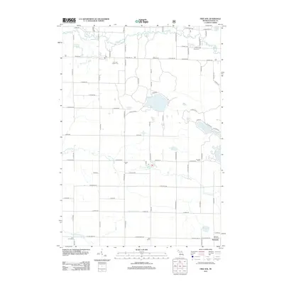 2012 Free Soil2012 Print · USGSMason County’s rural townships are preserved here in the early 2000s, showing a landscape defined by the Big Sable River and northern woodlands. Family historians can locate several local landmarks, including the Meade Cem, Batcheller School, and Ford Lake.
 - 2012 Map of Manistee, 2012 Print
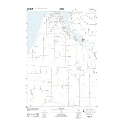 2012 Manistee2012 Print · USGSManistee County’s industrial and residential corridors are mapped in the early twenty-first century as they border Lake Michigan. Genealogists and historians can trace local family landmarks through Mount Carmel Cem and the Morton Salt Company works.
 - 2012 Map of Kings Corners, 2012 Print
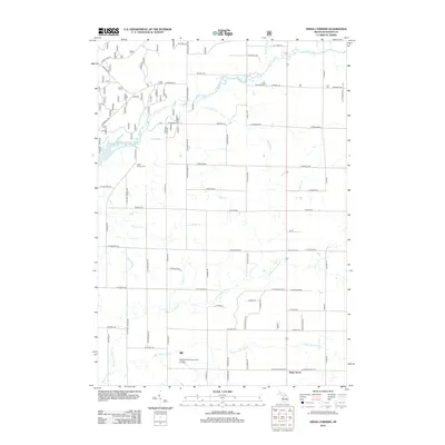 2012 Kings Corners2012 Print · USGSVictory Township and the surrounding Mason County countryside are captured here in the early twenty-first century as the landscape balances agriculture and local education. Researchers can locate family sites near Grant Township Cem, the West Shore Community College campus, or along the banks of the Big Sable River.
 - 2014 Map of Kings Corners, 2014 Print
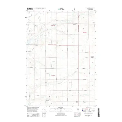 2014 Kings Corners2014 Print · USGSMason County’s agricultural and forested interior is documented here in the early twenty-first century. Genealogists can trace family roots through Sugar Grove Cem or Maple Grove Cem and explore the area near Kings Corners and the Big Sable River.
 - 2014 Map of Manistee, 2014 Print
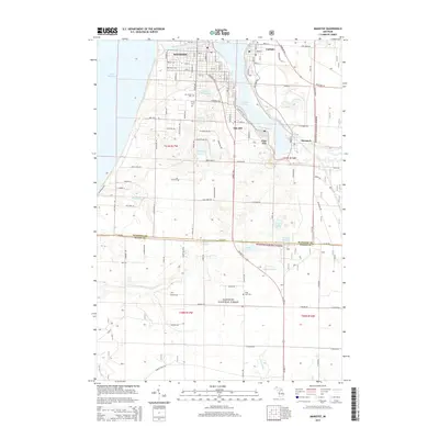 2014 Manistee2014 Print · USGSManistee and its neighboring industrial lakefront communities are captured here in the early twenty-first century. Researchers can trace the layout of Manistee, Filer City, and Eastlake, alongside local landmarks like Mt Carmel Cem and Manistee Lake.
 - 2014 Map of Star Corners, 2014 Print
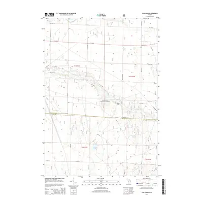 2014 Star Corners2014 Print · USGSThe Manistee and Mason County borderlands appear in the early twenty-first century as a mix of protected woodland and rural settlements. Researchers can trace family history at Old Stronach Cem or locate the crossroads of Star Corners and Sixmile Bridge.
 - 2014 Map of Free Soil, 2014 Print
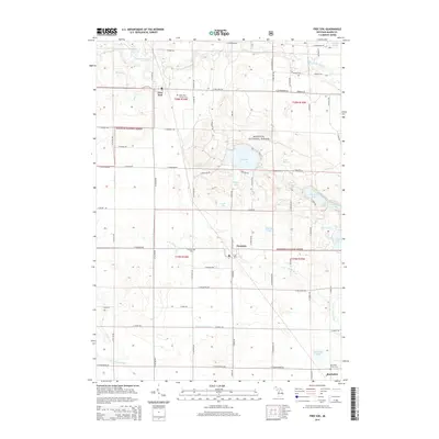 2014 Free Soil2014 Print · USGSMason County’s forest and river country is documented here in the early twenty-first century, centered on the villages of Free Soil and Fountain. Researchers can locate several rural cemeteries, including Meade Cem and Saint John Cantius' Cem, or trace the banks of the Big Sable River.
 - 2017 Map of Free Soil, 2017 Print
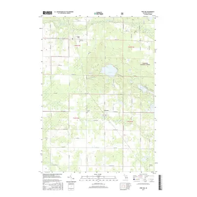 2017 Free Soil2017 Print · USGSFree Soil and Fountain are the primary hubs of this Mason County landscape during the late twenty-teens. Genealogists and local historians can locate specific burial sites at Saint John Cantius Cem or Fountain Cem and trace the many small lakes like Gun Lake.
 - 2017 Map of Kings Corners, 2017 Print
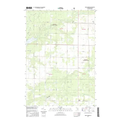 2017 Kings Corners2017 Print · USGSMason County’s rural crossroads and national forest lands are captured here in the late twenty-teens. Researchers can trace local history at Sugar Grove and Kings Corners, or locate family sites at North Victory Cem and Maple Grove Cem.
 - 2017 Map of Manistee, 2017 Print
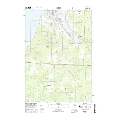 2017 Manistee2017 Print · USGSManistee and its neighboring industrial lakefronts are shown here in the late twenty-teens, spanning the area from the Lake Michigan coast to the national forest. Trace local family history at Mount Carmel Cem or explore the settlement patterns of Filer City and Eastlake.
 - 2017 Map of Star Corners, 2017 Print
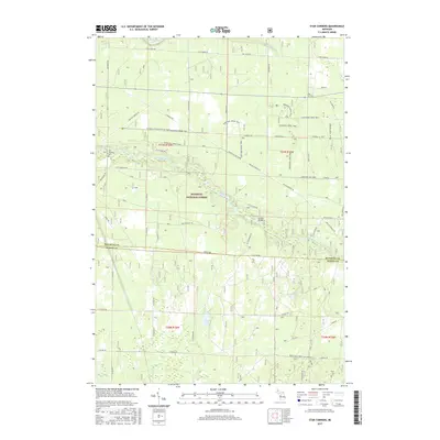 2017 Star Corners2017 Print · USGSManistee County at the junction with Mason County is captured here in the mid-2010s, showcasing the winding Little Manistee River and the Manistee National Forest. Researchers can locate the Old Stronach Cemetery and the settlement of Star Corners.
 - 2019 Map of Star Corners, 2019 Print
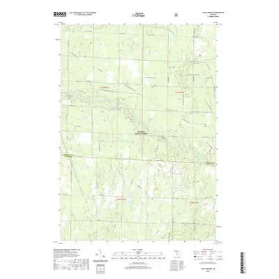 2019 Star Corners2019 Print · USGSUpper Michigan's forested interior comes into focus in this late twenty-tens survey of the borderlands between Manistee and Mason Counties. Genealogists and outdoor historians can trace family routes to Old Stronach Cem or follow the Little Manistee River past Sixmile Bridge.
 - 2019 Map of Manistee, 2019 Print
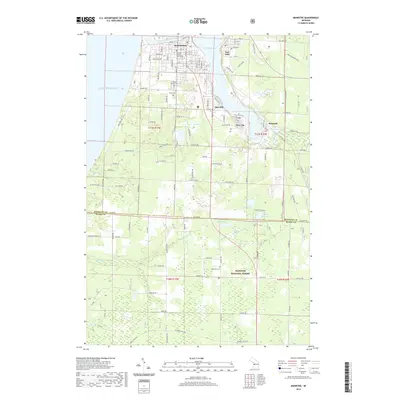 2019 Manistee2019 Print · USGSThe Lake Michigan shoreline and the industrial waters of Manistee Lake define this region during the late twenty-teens. Researchers can trace the civic layout around the Manistee County Courthouse or locate family plots at Mount Carmel Cem and Long Lake Cem.
Showing maps 1-25 of 31
Top cities near Free Soil Township
- Ludington historical maps
- Manistee historical maps
- Amber historical maps
- Scottville historical maps
- Parkdale historical maps
- Oak Hill historical maps
See more
Top neighborhoods of Free Soil Township
Frequently asked questions
- What are the different types of historical maps available for Free Soil Township?
- What is the oldest map of Free Soil Township?
- Where can I purchase historical maps of Free Soil Township for my home or office?
- Where can I download high-res historical maps of Free Soil Township?
- Are there historical topographic maps available for Free Soil Township?
- Is there historical aerial imagery available for Free Soil Township?
- Where are historical maps of Free Soil Township sourced from?