Old Maps of Morton Township, Michigan for Academic Research
Study the evolution of Morton Township with 34 high-resolution historic maps. Whether you're teaching, researching, or modeling changes in land use, these maps provide essential visual documentation of urban, environmental, and geographic change.
- Analyze long-term change: Track patterns in development, transportation, and natural features.
- Ideal for environmental or urban studies: Support academic projects with primary historical map data.
- Use in the classroom or lab: Educators and researchers rely on these maps to bring historical context to life.
These maps are a powerful tool for teaching, research, and visualizing how Morton Township has changed over the decades.
Morton Township, MI maps
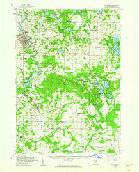
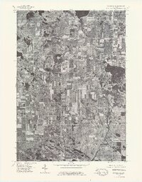
(34)- 1954 Map of Midland, 1967 Print
 1954 Midland1967 Print · USGSMid-Michigan at the peak of the post-war era shows a landscape balancing industrial growth in Midland with the deep timberlands of the Manistee National Forest. Researchers can trace the legacy of the timber and rail era along the Pennsylvania RR or find family roots in river towns like Chesaning and Big Rapids.4 unique versions available
 - 1958 Map of Midland
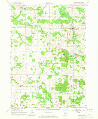
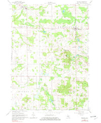
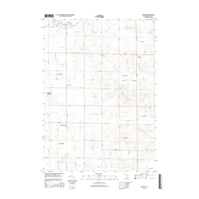
 1958 Midland1958 Print · USGSCentral Michigan in the late fifties is captured here during a period of transition for its university towns and industrial hubs. Genealogists and researchers can trace family lines through old rail-stop towns like Breckenridge and Chesaning or locate property near the Muskegon River and Prairie Farm.
 - 1958 Map of Big Rapids, 1960 Print
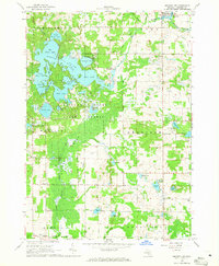
 1958 Big Rapids1960 Print · USGSBig Rapids and the Muskegon River valley are captured here in the late fifties, showing a landscape of dense forests and glacial lakes. Genealogists and local historians can locate early landmarks like Ferris Institute, Austin Ch, and family plots such as Holt Cem.3 unique versions available
 - 1959 Map of Midland
 1959 Midland1959 Print · USGSMid-century Michigan comes alive in this survey of the central Lower Peninsula, from the streets of Grand Rapids to the Houghton Lake timberlands. Genealogists and rail fans can trace the Ann Arbor RR and Chesapeake and Ohio RR through towns like Big Rapids and Mount Pleasant.
 - 1964 Map of Mecosta NW, 1965 Print
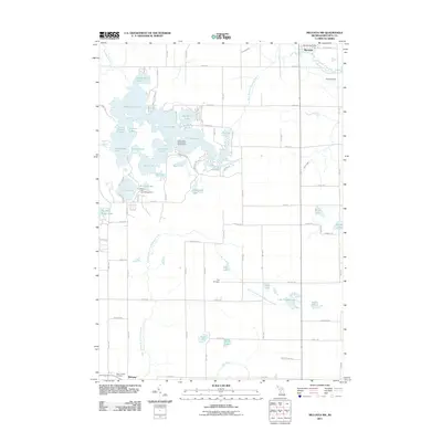
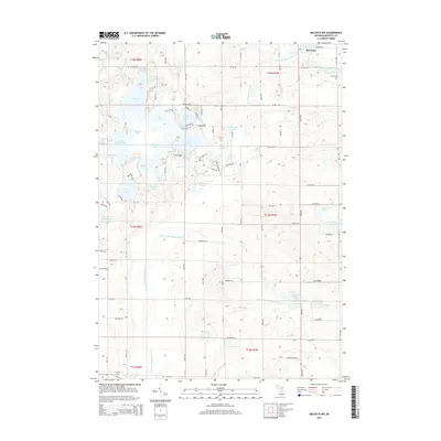
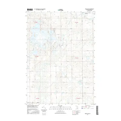
 1964 Mecosta NW1965 Print · USGSMecosta County in the mid-sixties reveals a landscape defined by the expansive Martiny Lake wetlands and the village of Barryton. Researchers can trace old family sites and rural landmarks like the Johnson Landing Field, Winchester Dam, and Sheridan Ch.
 - 1964 Map of Mecosta, 1965 Print
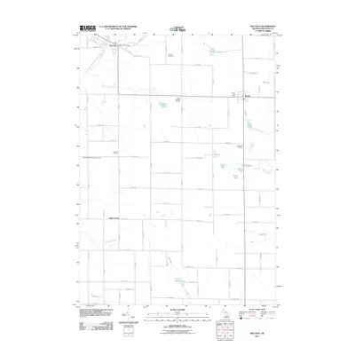
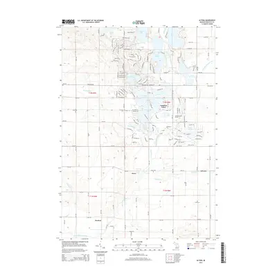
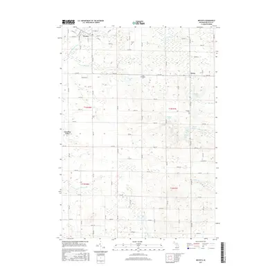
 1964 Mecosta1965 Print · USGSMecosta County in the mid-1960s shows a transition between the old rail era and modern agricultural life. Genealogists can trace family names and local landmarks at Halls Corner, Wamboldt Cem, and the Remus Landing Field.2 unique versions available
 - 1966 Map of Midland
 1966 Midland1966 Print · USGSCentral Michigan in the mid-1960s shows a landscape of growing manufacturing hubs and active resource extraction. Genealogists and historians can trace the rail corridors of the Grand Trunk Western or locate family-named landmarks near Oil wells and the Muskegon River.
 - 1976 Map of Big Rapids SE, 1979 Print
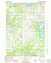
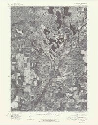 1976 Big Rapids SE1979 Print · USGSThe rural landscapes of Mecosta County are shown in fine detail in the mid-1970s through this aerial-imagery survey. Genealogists and historians can trace the early residential layouts around Lake Mecosta and the historic settlement patterns of Altona and Sylvester.
 - 1976 Map of Big Rapids NE, 1979 Print
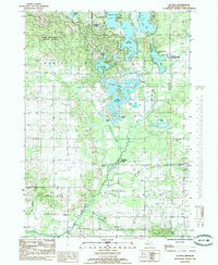
 1976 Big Rapids NE1979 Print · USGSMecosta County farmland and glacial lakes are captured in high detail during the mid-seventies. This orthophoto allows researchers to trace the exact boundaries of rural farmsteads near Rodney and the shorelines of Chippewa Lake and Horsehead Lake.
 - 1979 Map of Mecosta, 1982 Print
 1979 Mecosta1982 Print · USGSMecosta and Remus appear at a crossroads of rail and agriculture in the late seventies. Researchers can locate family landmarks like Morgan Cem, trace the Old Railroad Grade, or find the St Michael Sch in Wheatland.
 - 1984 Map of Big Rapids
 1984 Big Rapids1984 Print · USGSMid-Michigan in the mid-eighties shows a balance of deep-woods conservation and riverfront industry centered on the Muskegon River. Genealogists and historians can trace rail-town development along the Chesapeake and Ohio or locate family sites near Idlewild, Reed City, and Forest Hill Cem.
 - 1985 Map of Chippewa Lake South
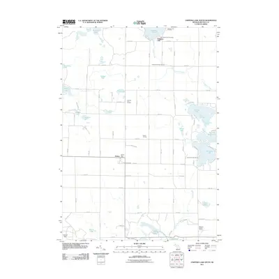
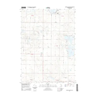
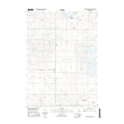
 1985 Chippewa Lake South1985 Print · USGSMecosta County was a patchwork of wetlands and small lakeside communities in the mid-1980s. Genealogists and local historians can trace family locations near Rodney, the village at Chippewa Lake, or along the distinct Old Railroad Grade.
 - 1985 Map of Altona
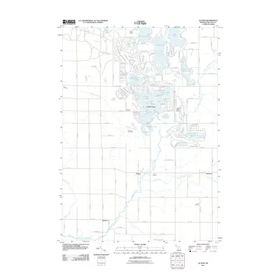
 1985 Altona1985 Print · USGSMecosta County’s glacial lake country is captured here during the mid-1980s, showing a landscape defined by water and recreation. Genealogists and local historians can trace family-named sites around Altona and Sylvester, or locate landmarks like the Cem and School Section Lake Park.
 - 1991 Map of Big Rapids
 1991 Big Rapids1991 Print · USGSWest Michigan’s river valleys and timberlands are charted here during the early nineties, centered on the Big Rapids corridor. Researchers can trace the path of the C & O RR through settlements like Reed City, Baldwin, and White Cloud.
 - 2011 Map of Mecosta, 2011 Print
 2011 Mecosta2011 Print · USGSCovers Morton Township, including Remus, Mecosta, and other nearby areas
 - 2011 Map of Chippewa Lake South, 2011 Print
 2011 Chippewa Lake South2011 Print · USGSCovers Morton Township, including Chippewa Township, Colfax Township, and other nearby areas
 - 2011 Map of Altona, 2011 Print
 2011 Altona2011 Print · USGSCovers Morton Township, including Hinton Township, Altona, and other nearby areas
 - 2011 Map of Mecosta NW, 2011 Print
 2011 Mecosta NW2011 Print · USGSCovers Morton Township, including Mecosta, Barryton, and other nearby areas
 - 2014 Map of Mecosta NW, 2014 Print
 2014 Mecosta NW2014 Print · USGSCovers Morton Township, including Mecosta, Barryton, and other nearby areas
 - 2014 Map of Altona, 2014 Print
 2014 Altona2014 Print · USGSCovers Morton Township, including Hinton Township, Altona, and other nearby areas
 - 2014 Map of Chippewa Lake South, 2014 Print
 2014 Chippewa Lake South2014 Print · USGSCovers Morton Township, including Chippewa Township, Colfax Township, and other nearby areas
 - 2014 Map of Mecosta, 2014 Print
 2014 Mecosta2014 Print · USGSCovers Morton Township, including Remus, Mecosta, and other nearby areas
 - 2017 Map of Chippewa Lake South, 2017 Print
 2017 Chippewa Lake South2017 Print · USGSCovers Morton Township, including Chippewa Township, Colfax Township, and other nearby areas
 - 2017 Map of Mecosta NW, 2017 Print
 2017 Mecosta NW2017 Print · USGSCovers Morton Township, including Mecosta, Barryton, and other nearby areas
 - 2017 Map of Mecosta, 2017 Print
 2017 Mecosta2017 Print · USGSCovers Morton Township, including Remus, Mecosta, and other nearby areas
Showing maps 1-25 of 34
Top cities near Morton Township
- Big Rapids historical maps
- Howard City historical maps
- Remus historical maps
- Edmore historical maps
- Millbrook historical maps
- Lakeview historical maps
See more
Top neighborhoods of Morton Township
Frequently asked questions
- What are the different types of historical maps available for Morton Township?
- What is the oldest map of Morton Township?
- Where can I purchase historical maps of Morton Township for my home or office?
- Where can I download high-res historical maps of Morton Township?
- Are there historical topographic maps available for Morton Township?
- Is there historical aerial imagery available for Morton Township?
- Where are historical maps of Morton Township sourced from?