2020s Maps of Wheatland Township, Michigan
Explore 4 historic maps of Wheatland Township from the 2020s. These maps offer a rare glimpse into what life looked like during the 2020s — showing old roads, neighborhoods, homes, and landmarks that have changed or disappeared over time.
Whether you're researching your family's past, planning a metal detecting trip, or studying how Wheatland Township's landscape evolved across the 2020s, these high-resolution maps are a powerful tool for exploring the history of this region.
- Focus on a specific era: All maps on this page are from the 2020s, giving you a focused view of this time period.
- See what’s changed: Compare century-old streets, trails, and buildings to today's modern landscape using overlays and satellite layers.
- Research with precision: Use these maps for genealogy, historical research, land use analysis, or educational projects.
- View, download, or print: Maps are fully viewable online in high resolution, and can be downloaded or printed for your own records.
Start exploring Wheatland Township's history through authentic maps from the 2020s. This is your window into the past.
Wheatland Township, MI maps
(4)- 2023 Map of Mecosta, 2023 Print
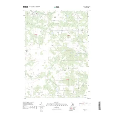 2023 Mecosta2023 Print · USGSMecosta County's rural landscape is documented here in the early 2020s, showing the settled villages of Mecosta and Remus alongside the Canadian Lakes development. Family historians can locate several rural burial sites, including Saint Michael Cem and Morton Cem.
 - 2023 Map of Blanchard, 2023 Print
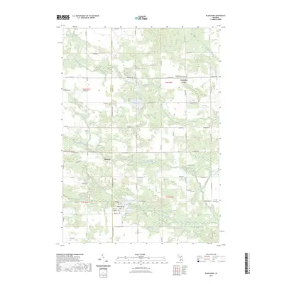 2023 Blanchard2023 Print · USGSCovers Wheatland Township, including Millbrook, Lake Isabella, and other nearby areas
 - 2023 Map of Sherman City, 2023 Print
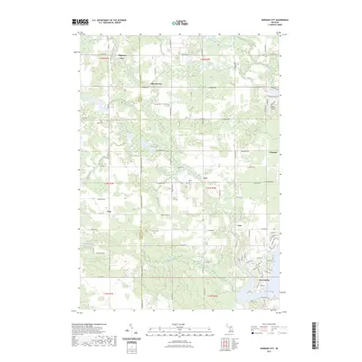 2023 Sherman City2023 Print · USGSThe rural border of Isabella and Mecosta counties is captured here in the early twenty-first century, showing a landscape defined by small crossroads and water. Researchers can trace family sites at Strong Cem or follow the development around Lake Isabella and Sherman City.
 - 2023 Map of Mecosta NW, 2023 Print
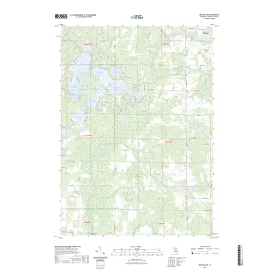 2023 Mecosta NW2023 Print · USGSThe village of Barryton and the surrounding glacial lake country are captured in this recent survey of central Michigan. Researchers can locate family landmarks like Mount Hope Cem and Dye Cem or trace the winding course of the West Branch Chippewa River.
End of results
Showing maps 1-4 of 4
Top cities near Wheatland Township
- Remus historical maps
- Edmore historical maps
- Millbrook historical maps
- Lake Isabella historical maps
- Lakeview historical maps
- Mecosta historical maps
See more
Top neighborhoods of Wheatland Township
Frequently asked questions
- What are the different types of historical maps available for Wheatland Township?
- What is the oldest map of Wheatland Township?
- Where can I purchase historical maps of Wheatland Township for my home or office?
- Where can I download high-res historical maps of Wheatland Township?
- Are there historical topographic maps available for Wheatland Township?
- Is there historical aerial imagery available for Wheatland Township?
- Where are historical maps of Wheatland Township sourced from?