Old Maps of Cedarville Township, Michigan for Academic Research
Study the evolution of Cedarville Township with 37 high-resolution historic maps. Whether you're teaching, researching, or modeling changes in land use, these maps provide essential visual documentation of urban, environmental, and geographic change.
- Analyze long-term change: Track patterns in development, transportation, and natural features.
- Ideal for environmental or urban studies: Support academic projects with primary historical map data.
- Use in the classroom or lab: Educators and researchers rely on these maps to bring historical context to life.
These maps are a powerful tool for teaching, research, and visualizing how Cedarville Township has changed over the decades.
Cedarville Township, MI maps
(37)- 1954 Map of Escanaba, 1967 Print
 1954 Escanaba1967 Print · USGSThe Upper Peninsula and Door County shorelines meet here in the mid-fifties, showing the vital maritime and timber networks of the Great Lakes. Researchers can trace historic rail lines, old fire lookouts like the Stonington Fire Tower, and island settlements such as Washington Island.2 unique versions available
 - 1957 Map of Escanaba
 1957 Escanaba1957 Print · USGSThe Upper Peninsula and Door County shorelines meet in the mid-fifties, capturing a landscape of timber, iron, and maritime trade. Genealogists and local historians can trace the Chicago & North Western RR through settlements like Hermansville or locate St Vitals Church and the Potawatome Indian Reservation.
 - 1958 Map of Escanaba
 1958 Escanaba1958 Print · USGSNorthern Lake Michigan maritime commerce and timberlands are captured here in the mid-fifties. Genealogists and historians can trace rail networks like the Escanaba and Lake Superior or locate island settlements such as Detroit Harbor and Fish Creek.
 - 1963 Map of Bark River, 1964 Print
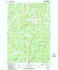
 1963 Bark River1964 Print · USGSUpper Peninsula timber and rail communities thrive in the early sixties as the railroad connects the lakeside to the interior. Genealogists can trace family footprints at Hannahville, Indiantown, and the Bark River Cem near Harris.
 - 1963 Map of Cedar River, 1964 Print
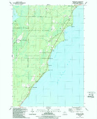
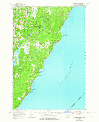 1963 Cedar River1964 Print · USGSThe Menominee County shoreline comes alive in the early 1960s, showing the quiet coastal settlements and timberlands along Green Bay. Researchers can trace family sites from Johnson Landing up to Cedar River, and locate landmarks like the Dominican House of Studies or the Cedar River Cem.3 unique versions available
 - 1981 Map of Marinette, 1982 Print
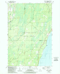
 1981 Marinette1982 Print · USGSThe Menominee River valley and Door County peninsula are captured here in the early 1980s, showcasing the region's timber and maritime foundations. Researchers can trace historic shorelines from Fish Creek to Deathdoor Bluff or locate inland landmarks like Lake Noquebay and Kangaroo Lake.
 - 1982 Map of Escanaba
 1982 Escanaba1982 Print · USGSUpper Peninsula timber and mining country come to life in this early 1980s survey of the lakefront and forest interior. Trace family roots and industrial history through settlements like Norway and Gladstone, or locate the Appleton Mine and Fernwood Cem near the rail lines.
 - 1989 Map of North Lake
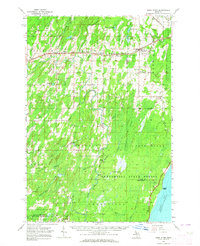
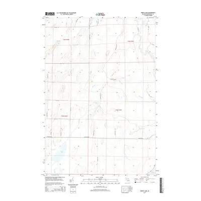
 1989 North Lake1989 Print · USGSMenominee County’s northern woods and waterways are captured here in the late eighties, showing a landscape defined by state-managed forests and remote lake systems. Researchers can trace the courses of Cedar River and Walton River or locate family landmarks near Westman Lake and Hoglund Lake.
 - 1989 Map of Cedar River
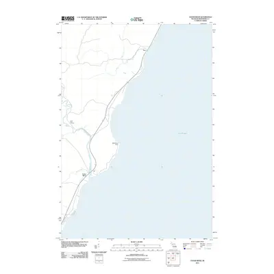
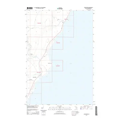
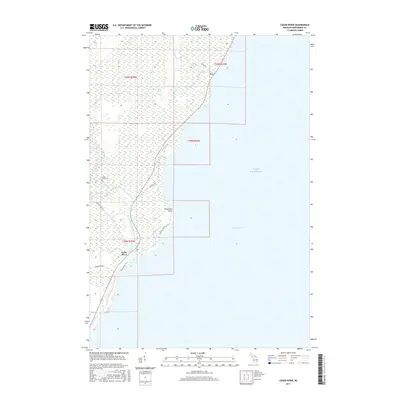
 1989 Cedar River1989 Print · USGSThe Menominee County coast of Green Bay is shown here in the late twentieth century, centered on the Cedar River mouth. Genealogists and local historians can trace the Cedar River Cem and the small coastal settlement of Fox.
 - 1989 Map of Gourley
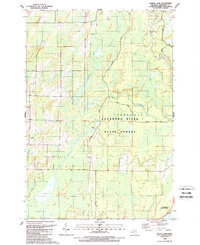
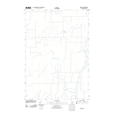
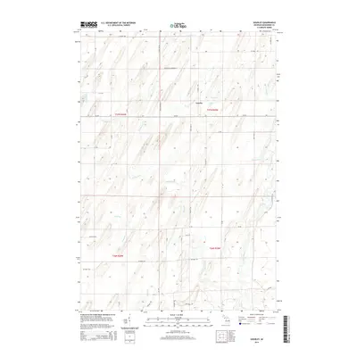
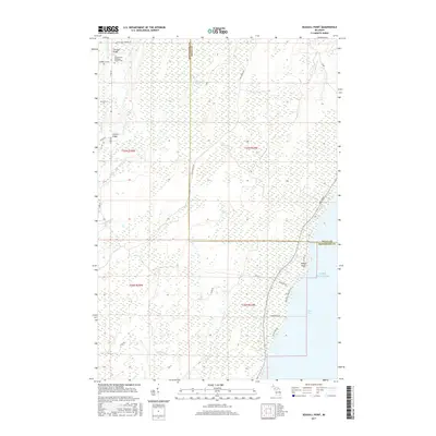
 1989 Gourley1989 Print · USGSMenominee County during the late eighties is a landscape of state timberlands and winding creeks. You can trace the rural infrastructure of Gourley and locate remote features like the Landing Strip and Jasper Lake.
 - 1989 Map of Arthur Bay
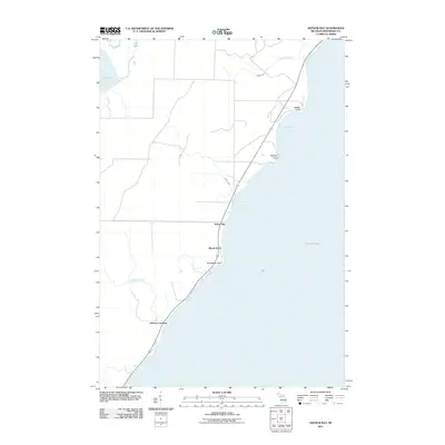
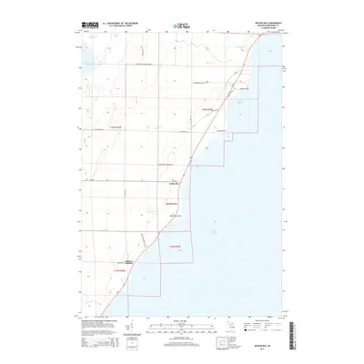
 1989 Arthur Bay1989 Print · USGSThe Menominee County shoreline in the late eighties shows a landscape of state forest and small coastal settlements. Genealogists and researchers can trace the roads near Cedarville, Beach Grove, and the seasonal camps at Johnson Landing.
 - 1989 Map of Seagull Point
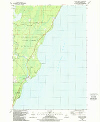
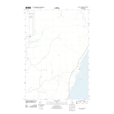
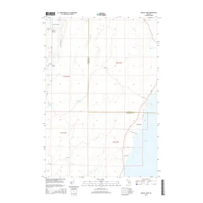
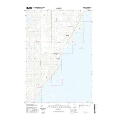
 1989 Seagull Point1989 Print · USGSThe Menominee County shoreline and dense marshes of the Upper Peninsula are captured here in the late eighties. Researchers can trace rural landmarks like Advent Sch and old crossings such as Jam Dam Bridge or McCarty Bridge.
 - 2011 Map of North Lake, 2011 Print
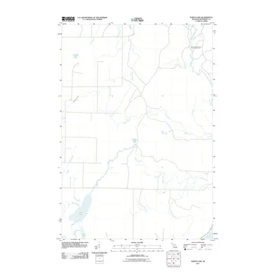 2011 North Lake2011 Print · USGSCovers Cedarville Township, including Ingallston Township, Daggett Township, and other nearby areas
 - 2011 Map of Gourley, 2011 Print
 2011 Gourley2011 Print · USGSCovers Cedarville Township, including Gourley, Nadeau Township, and other nearby areas
 - 2011 Map of Arthur Bay, 2011 Print
 2011 Arthur Bay2011 Print · USGSCovers Cedarville Township, including Beach Grove, Johnson Landing, and other nearby areas
 - 2011 Map of Cedar River, 2011 Print
 2011 Cedar River2011 Print · USGSCovers Cedarville Township, including Cedar River, Fox, and other nearby areas
 - 2011 Map of Seagull Point, 2011 Print
 2011 Seagull Point2011 Print · USGSCovers Cedarville Township, including Ford River Township, Gourley Township, and other nearby areas
 - 2014 Map of Cedar River, 2014 Print
 2014 Cedar River2014 Print · USGSCovers Cedarville Township, including Cedar River, Fox, and other nearby areas
 - 2014 Map of North Lake, 2014 Print
 2014 North Lake2014 Print · USGSCovers Cedarville Township, including Ingallston Township, Daggett Township, and other nearby areas
 - 2014 Map of Seagull Point, 2014 Print
 2014 Seagull Point2014 Print · USGSCovers Cedarville Township, including Ford River Township, Gourley Township, and other nearby areas
 - 2014 Map of Gourley, 2014 Print
 2014 Gourley2014 Print · USGSCovers Cedarville Township, including Gourley, Nadeau Township, and other nearby areas
 - 2014 Map of Arthur Bay, 2014 Print
 2014 Arthur Bay2014 Print · USGSCovers Cedarville Township, including Beach Grove, Johnson Landing, and other nearby areas
 - 2017 Map of Cedar River, 2017 Print
 2017 Cedar River2017 Print · USGSCovers Cedarville Township, including Cedar River, Fox, and other nearby areas
 - 2017 Map of Arthur Bay, 2017 Print
 2017 Arthur Bay2017 Print · USGSCovers Cedarville Township, including Beach Grove, Johnson Landing, and other nearby areas
 - 2017 Map of Seagull Point, 2017 Print
 2017 Seagull Point2017 Print · USGSCovers Cedarville Township, including Ford River Township, Gourley Township, and other nearby areas
Showing maps 1-25 of 37
Top cities near Cedarville Township
- Ford River historical maps
- Nadeau historical maps
- Powers historical maps
- Gourley historical maps
- Carney historical maps
Top neighborhoods of Cedarville Township
Frequently asked questions
- What are the different types of historical maps available for Cedarville Township?
- What is the oldest map of Cedarville Township?
- Where can I purchase historical maps of Cedarville Township for my home or office?
- Where can I download high-res historical maps of Cedarville Township?
- Are there historical topographic maps available for Cedarville Township?
- Is there historical aerial imagery available for Cedarville Township?
- Where are historical maps of Cedarville Township sourced from?