Old Maps of Lake Township, Michigan for Academic Research
Study the evolution of Lake Township with 33 high-resolution historic maps. Whether you're teaching, researching, or modeling changes in land use, these maps provide essential visual documentation of urban, environmental, and geographic change.
- Analyze long-term change: Track patterns in development, transportation, and natural features.
- Ideal for environmental or urban studies: Support academic projects with primary historical map data.
- Use in the classroom or lab: Educators and researchers rely on these maps to bring historical context to life.
These maps are a powerful tool for teaching, research, and visualizing how Lake Township has changed over the decades.
Lake Township, MI maps
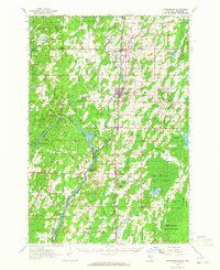
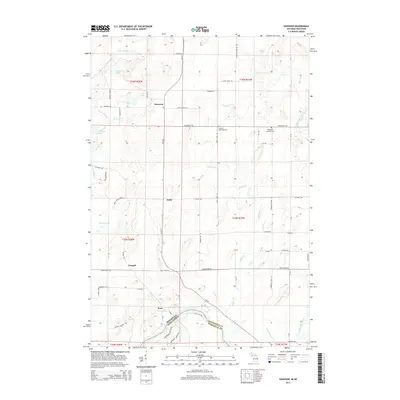
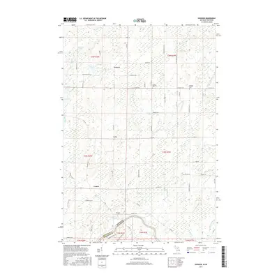
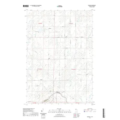
(33)- 1942 Map of Wausaukee
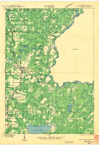 1942 Wausaukee1942 Print · USGSMarinette County in the early 1940s was a landscape of timber-towns and railroads winding toward the Michigan border. Genealogists can locate family-named rural schools like Shanebrook Sch and Gallow Sch or trace the early community at WAUSAUKEE.
 - 1947 Map of Wausaukee
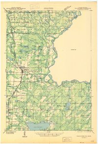 1947 Wausaukee1947 Print · USGSMarinette County in the late nineteen-forties centers on the village of Wausaukee and its surrounding glacial lake country. Trace the locations of rural schoolhouses like Shanebrook Sch and Gallow Sch, or locate family sites near Cedarville and the Pine Hill Cem.
 - 1949 Map of Stephenson
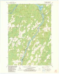
 1949 Stephenson1949 Print · USGSThe Menominee River borderlands are shown in detail during the late 1940s, highlighting the transition from timber extraction to settled rural life. Researchers can trace the Old Logging Railroad Grade and locate community landmarks like the McAllister Sch and Goll Cem.
 - 1954 Map of Escanaba, 1967 Print
 1954 Escanaba1967 Print · USGSThe Upper Peninsula and Door County shorelines meet here in the mid-fifties, showing the vital maritime and timber networks of the Great Lakes. Researchers can trace historic rail lines, old fire lookouts like the Stonington Fire Tower, and island settlements such as Washington Island.2 unique versions available
 - 1957 Map of Escanaba
 1957 Escanaba1957 Print · USGSThe Upper Peninsula and Door County shorelines meet in the mid-fifties, capturing a landscape of timber, iron, and maritime trade. Genealogists and local historians can trace the Chicago & North Western RR through settlements like Hermansville or locate St Vitals Church and the Potawatome Indian Reservation.
 - 1958 Map of Escanaba
 1958 Escanaba1958 Print · USGSNorthern Lake Michigan maritime commerce and timberlands are captured here in the mid-fifties. Genealogists and historians can trace rail networks like the Escanaba and Lake Superior or locate island settlements such as Detroit Harbor and Fish Creek.
 - 1963 Map of Wausaukee, 1964 Print
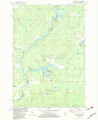
 1963 Wausaukee1964 Print · USGSMarinette County was a hub of timber and rail activity in the early 1960s, centered on the Menominee River border. Local historians can trace the Chicago Milwaukee St Paul and Pacific RR through Amberg, Wausaukee, and the small settlement of Sweetheart City.
 - 1963 Map of Stephenson, 1965 Print
 1963 Stephenson1965 Print · USGSThe Menominee River borderlands in the early sixties reveal a network of rail-side timber and farming towns. Genealogists can trace family roots at the Danish Cem, St Marks Ch, or the rural McAllister Sch near the Grand Rapids Dam.
 - 1981 Map of Marinette, 1982 Print
 1981 Marinette1982 Print · USGSThe Menominee River valley and Door County peninsula are captured here in the early 1980s, showcasing the region's timber and maritime foundations. Researchers can trace historic shorelines from Fish Creek to Deathdoor Bluff or locate inland landmarks like Lake Noquebay and Kangaroo Lake.
 - 1982 Map of Wausaukee South, 1983 Print
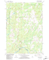
 1982 Wausaukee South1983 Print · USGSMarinette County in the early eighties shows a landscape of timber and water at the state line. Genealogists and historians can trace the Escanaba and Lake Superior Railroad through Middle Inlet, Sweetheart City, and the Wayside Cem.
 - 1982 Map of Mc Allister, 1983 Print
 1982 Mc Allister1983 Print · USGSThe Menominee River valley at the Wisconsin-Michigan border is shown here in the early 1980s, documenting a landscape of rural hamlets and river power. Genealogists can trace family names at St Edwards Cem or locate the old McAllister Sch and Wallace-McAllister Bridge.
 - 1982 Map of Bear Point, 1983 Print
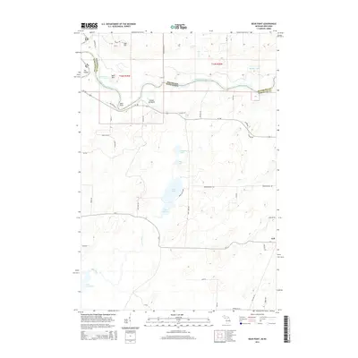
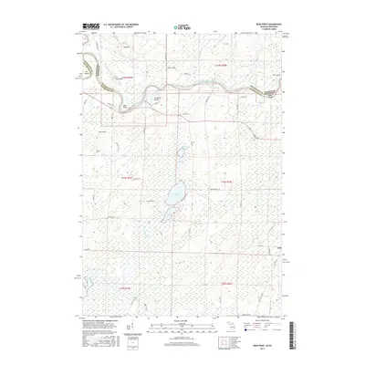
 1982 Bear Point1983 Print · USGSThe Menominee River border between Michigan and Wisconsin is captured here in the early eighties, showcasing a wilderness of state forests and hunting grounds. Researchers can locate family landmarks and rural infrastructure like Sturgeon Landing, the Middle Inlet Lookout Tower, and Bear Point County Park.
 - 1982 Map of Resort Lake, 1983 Print
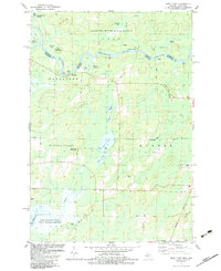
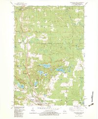
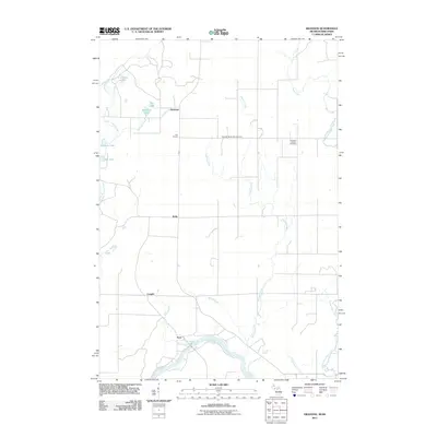
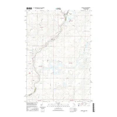
 1982 Resort Lake1983 Print · USGSThe Menominee River borderlands in the early eighties were a mosaic of state forests and quiet fishing lakes. Genealogists and hikers can trace old routes like Pike River Road or locate landmarks such as Chalk Hill Camp and the Lost Lake Ch.
 - 1982 Map of Swanson, 1983 Print
 1982 Swanson1983 Print · USGSUpper Peninsula life in the early 1980s is captured along the Menominee River border as the logging era gives way to state forest management. Genealogists and historians can trace local landmarks like Bethesda Cem, the small settlement of Swanson, and an Old Railroad Grade.
 - 1982 Map of Wausaukee North, 1983 Print
 1982 Wausaukee North1983 Print · USGSMarinette County in the early eighties was a landscape defined by its waterways and the Chicago and North Western rail line. Genealogists and hikers can trace the areas around Wausaukee, Daves Falls County Park, and the Amberg Cem.
 - 2011 Map of Bear Point, 2011 Print
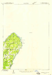
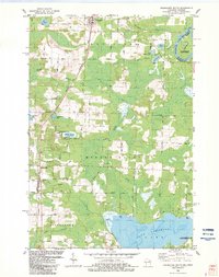
 2011 Bear Point2011 Print · USGSCovers Lake Township, including Porterfield, Wagner, and other nearby areas
 - 2011 Map of Swanson, 2011 Print
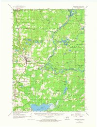
 2011 Swanson2011 Print · USGSCovers Lake Township, including Wagner, Holmes Township, and other nearby areas
 - 2011 Map of Resort Lake, 2011 Print
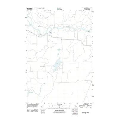
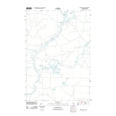 2011 Resort Lake2011 Print · USGSCovers Lake Township, including Amberg, Holmes Township, and other nearby areas
 - 2014 Map of Resort Lake, 2014 Print
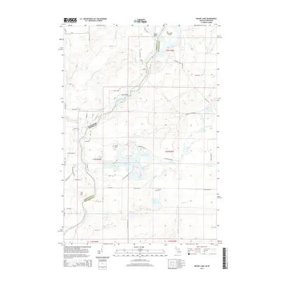 2014 Resort Lake2014 Print · USGSCovers Lake Township, including Amberg, Holmes Township, and other nearby areas
 - 2014 Map of Bear Point, 2014 Print
 2014 Bear Point2014 Print · USGSCovers Lake Township, including Porterfield, Wagner, and other nearby areas
 - 2014 Map of Swanson, 2014 Print
 2014 Swanson2014 Print · USGSCovers Lake Township, including Wagner, Holmes Township, and other nearby areas
 - 2017 Map of Resort Lake, 2017 Print
 2017 Resort Lake2017 Print · USGSCovers Lake Township, including Amberg, Holmes Township, and other nearby areas
 - 2017 Map of Bear Point, 2017 Print
 2017 Bear Point2017 Print · USGSCovers Lake Township, including Porterfield, Wagner, and other nearby areas
 - 2017 Map of Swanson, 2017 Print
 2017 Swanson2017 Print · USGSCovers Lake Township, including Wagner, Holmes Township, and other nearby areas
 - 2019 Map of Swanson, 2019 Print
 2019 Swanson2019 Print · USGSCovers Lake Township, including Wagner, Holmes Township, and other nearby areas
Showing maps 1-25 of 33
Top cities near Lake Township
- Porterfield historical maps
- Nadeau historical maps
- Beaver historical maps
- Pembine historical maps
- Amberg historical maps
- Stephenson historical maps
See more
Top neighborhoods of Lake Township
Frequently asked questions
- What are the different types of historical maps available for Lake Township?
- What is the oldest map of Lake Township?
- Where can I purchase historical maps of Lake Township for my home or office?
- Where can I download high-res historical maps of Lake Township?
- Are there historical topographic maps available for Lake Township?
- Is there historical aerial imagery available for Lake Township?
- Where are historical maps of Lake Township sourced from?