Old Maps of Spalding Township, Michigan for Academic Research
Study the evolution of Spalding Township with 56 high-resolution historic maps. Whether you're teaching, researching, or modeling changes in land use, these maps provide essential visual documentation of urban, environmental, and geographic change.
- Analyze long-term change: Track patterns in development, transportation, and natural features.
- Ideal for environmental or urban studies: Support academic projects with primary historical map data.
- Use in the classroom or lab: Educators and researchers rely on these maps to bring historical context to life.
These maps are a powerful tool for teaching, research, and visualizing how Spalding Township has changed over the decades.
Spalding Township, MI maps
(56)- 1954 Map of Escanaba, 1967 Print
 1954 Escanaba1967 Print · USGSThe Upper Peninsula and Door County shorelines meet here in the mid-fifties, showing the vital maritime and timber networks of the Great Lakes. Researchers can trace historic rail lines, old fire lookouts like the Stonington Fire Tower, and island settlements such as Washington Island.2 unique versions available
 - 1956 Map of Foster City, 1957 Print
 1956 Foster City1957 Print · USGSNorthern Menominee County is seen here during the mid-fifties, dominated by timber management and rail transit. Genealogists can trace the early community at Foster City or locate family plots at the Waucedah Township Cem.3 unique versions available
 - 1957 Map of Escanaba
 1957 Escanaba1957 Print · USGSThe Upper Peninsula and Door County shorelines meet in the mid-fifties, capturing a landscape of timber, iron, and maritime trade. Genealogists and local historians can trace the Chicago & North Western RR through settlements like Hermansville or locate St Vitals Church and the Potawatome Indian Reservation.
 - 1958 Map of Escanaba
 1958 Escanaba1958 Print · USGSNorthern Lake Michigan maritime commerce and timberlands are captured here in the mid-fifties. Genealogists and historians can trace rail networks like the Escanaba and Lake Superior or locate island settlements such as Detroit Harbor and Fish Creek.
 - 1963 Map of Bark River, 1964 Print
 1963 Bark River1964 Print · USGSUpper Peninsula timber and rail communities thrive in the early sixties as the railroad connects the lakeside to the interior. Genealogists can trace family footprints at Hannahville, Indiantown, and the Bark River Cem near Harris.
 - 1963 Map of Powers, 1964 Print
 1963 Powers1964 Print · USGSUpper Peninsula timber and rail towns define this mid-century landscape in Menominee County. Genealogists can trace family names through the Swedish Cem and Powers Cem, while the CHICAGO AND NORTH WESTERN line links depots at Nadeau and Carney.
 - 1963 Map of Schaffer, 1965 Print
 1963 Schaffer1965 Print · USGSUpper Peninsula timber and rail corridors define the landscape in the early sixties, showing the vital connections between the forests and regional industry. Researchers can trace the legacy of small settlements like Perronville and Schaffer or locate the Cornell Ch and Schaffer Cem along the Ford River.2 unique versions available
 - 1982 Map of Escanaba
 1982 Escanaba1982 Print · USGSUpper Peninsula timber and mining country come to life in this early 1980s survey of the lakefront and forest interior. Trace family roots and industrial history through settlements like Norway and Gladstone, or locate the Appleton Mine and Fernwood Cem near the rail lines.
 - 1986 Map of Waucedah
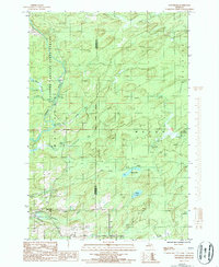 1986 Waucedah1986 Print · USGSUpper Peninsula timberlands and river valleys define this area during the mid-1980s, where the Sturgeon River bisects the state forest. Local historians can trace the settlement at Waucedah, locate the village Cem, and follow the paths of Hamilton Creek and Lost Creek.
 - 1986 Map of Vega
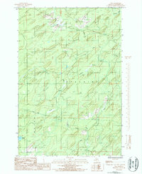 1986 Vega1986 Print · USGSUpper Peninsula woodlands in the mid-eighties reveal a landscape defined by the Cedar River and localized industrial activity. Researchers can trace several Rock Quarry locations near Nacomis Creek and the remote Lake No 18 in the townships of Spalding and Meyer.
 - 1986 Map of Helps
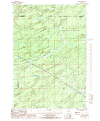 1986 Helps1986 Print · USGSUpper Peninsula timberlands and the quiet settlements of Helps and Faunus are captured here in the mid-1980s. Local researchers can trace the path of the Old Railroad Grade and locate remote water bodies like Stephenson Lake.
 - 1986 Map of Foster City
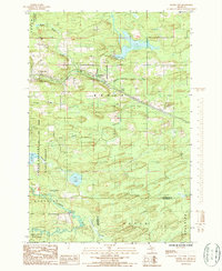 1986 Foster City1986 Print · USGSUpper Peninsula timber and river country is captured here in the mid-eighties, centered on the Sturgeon River valley. Researchers can trace the Old Railroad Grade through Foster City and Hardwood or locate the local Cem and several Rock Quarry sites.
 - 1989 Map of Whitney
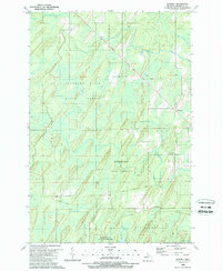 1989 Whitney1989 Print · USGSUpper Peninsula timberlands and tribal territories are documented here in the late eighties. Researchers can trace the Hannahville Indian Community boundaries and an Old Railroad Grade near Whitney.
 - 1989 Map of Wilson
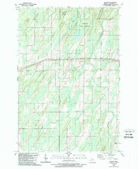 1989 Wilson1989 Print · USGSUpper Michigan's interior comes into focus in the late 1980s as the rail and river networks define local life. Trace the path of the Chicago and North Western railroad through Wilson and Indiantown, or locate family sites near Zion Ch and the Harris Cem.
 - 1989 Map of Hermansville
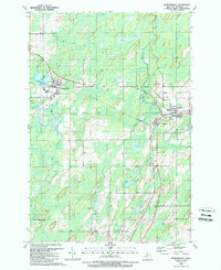 1989 Hermansville1989 Print · USGSUpper Peninsula rail hubs and timber towns are captured here in the late eighties as the region's industrial legacy persisted. Genealogists and historians can trace the junction of the SOO LINE and C and N W Ry near Powers or locate Meyer Cem and Spalding Cem.
 - 1989 Map of La Branche
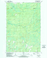 1989 La Branche1989 Print · USGSUpper Peninsula timberland and river systems are documented here in the late eighties, just as the regional landscape was being managed for forest conservation. Researchers can trace the winding Ford River through the Escanaba River State Forest or locate the small settlement of La Branche.
 - 2011 Map of Whitney, 2011 Print
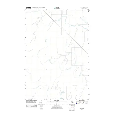 2011 Whitney2011 Print · USGSMenominee County's forested interior is captured here in the early twenty-first century, showing the rural crossroads and creek systems of the Upper Peninsula. Researchers can trace the waterways of Whitney Creek and Wilson Creek or locate landmarks like Little Indian Lake.
 - 2011 Map of La Branche, 2011 Print
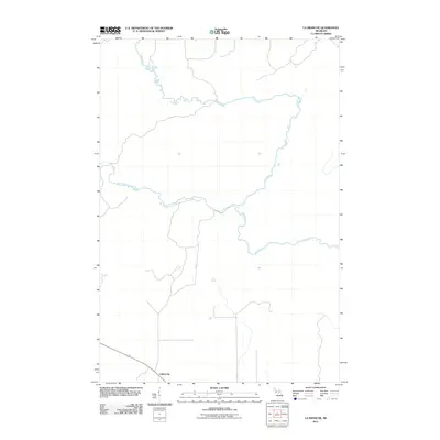 2011 La Branche2011 Print · USGSThe northern reaches of Menominee County are defined by their winding waterways in the early twenty-first century. Genealogists and local historians can trace the settlement of LaBranche and its proximity to the Ford River and West Branch Ford River.
 - 2011 Map of Helps, 2011 Print
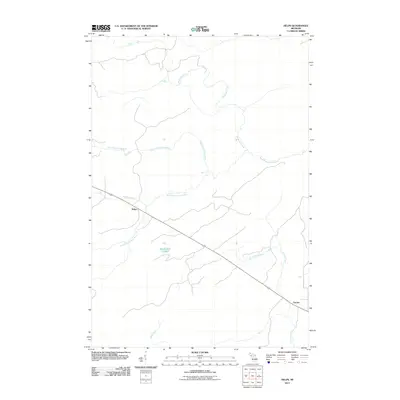 2011 Helps2011 Print · USGSBreen Township is captured in the early twenty-first century, showing a remote landscape defined by the branching of the Ford River. Researchers can locate the small settlements of Helps and Faunus or trace the winding paths of Skidmore Creek and Stephenson Lake.
 - 2011 Map of Wilson, 2011 Print
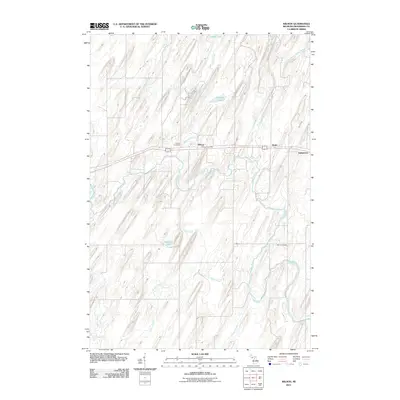 2011 Wilson2011 Print · USGSNadeau Township is shown in the early twenty-first century as a landscape defined by the winding Cedar River and its many tributaries. Researchers can trace local lineages at the Wilson Cemetery or locate the central Wilson Post Office and nearby Indiantown.
 - 2011 Map of Hermansville, 2011 Print
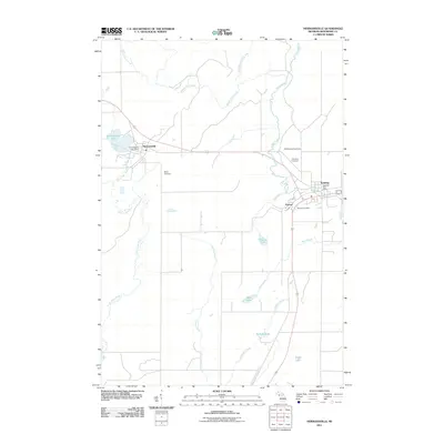 2011 Hermansville2011 Print · USGSSettlements in the Michigan Upper Peninsula are captured in detail here during the early twenty-first century. Genealogists and local historians can trace family locations near the Meyer Cemetery, Spalding Cemetery, and the Spalding Lookout Tower.
 - 2011 Map of Foster City, 2011 Print
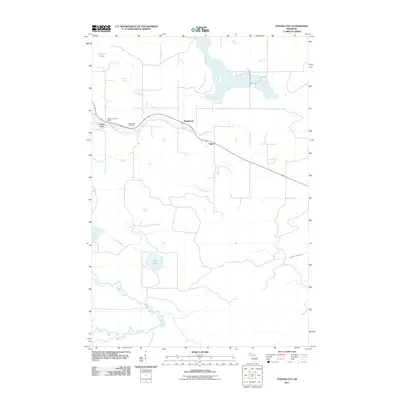 2011 Foster City2011 Print · USGSBreen Township and the Dickinson County timberlands are documented here in the early twenty-first century. Genealogists and local historians can locate the Foster City Cemetery, the Foster City Post Office, and the small settlements of Hardwood and Hylas.
 - 2011 Map of Vega, 2011 Print
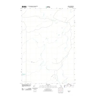 2011 Vega2011 Print · USGSSpalding Township and the settlement of Vega are captured here in the early twenty-first century, showcasing a landscape defined by the Cedar River drainage system. Researchers can trace the winding paths of Spruce Creek and Pittsburg Creek or locate Lake Number Eighteen.
 - 2011 Map of Waucedah, 2011 Print
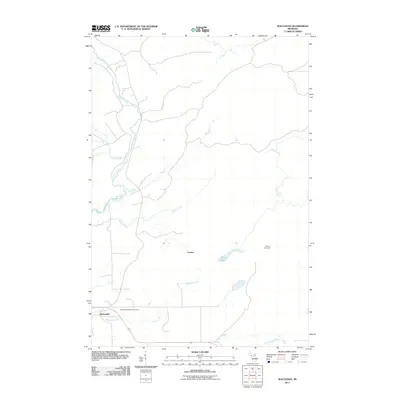 2011 Waucedah2011 Print · USGSUpper Peninsula settlement and hydrology are on display here in the early 2010s, showing the area around Waucedah. Genealogists and local historians can locate the Waucedah Township Cemetery and trace the paths of Sturgeon River and Hamilton Creek.
 - 2014 Map of La Branche, 2014 Print
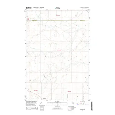 2014 La Branche2014 Print · USGSThe Menominee and Marquette county border country comes into focus in this modern survey of the Upper Peninsula. Genealogists and local historians can trace family-named routes like N Gaber Rd H and Bartoszek Lane Number 52 near the settlement of LaBranche.
Showing maps 1-25 of 56
Top cities near Spalding Township
- Harris historical maps
- Spalding historical maps
- Nadeau historical maps
- Waucedah historical maps
- Powers historical maps
- Gourley historical maps
See more
Top neighborhoods of Spalding Township
- Faunus historical maps
- Helps historical maps
- LaBranche historical maps
- Spalding historical maps
- Powers historical maps
Frequently asked questions
- What are the different types of historical maps available for Spalding Township?
- What is the oldest map of Spalding Township?
- Where can I purchase historical maps of Spalding Township for my home or office?
- Where can I download high-res historical maps of Spalding Township?
- Are there historical topographic maps available for Spalding Township?
- Is there historical aerial imagery available for Spalding Township?
- Where are historical maps of Spalding Township sourced from?