2000s (21st Century) Maps of Clam Union Township, Michigan
Explore 15 historic maps of Clam Union Township from the 2000s (21st Century). These maps offer a rare glimpse into what life looked like during the 2000s — showing old roads, neighborhoods, homes, and landmarks that have changed or disappeared over time.
Whether you're researching your family's past, planning a metal detecting trip, or studying how Clam Union Township's landscape evolved across the 2000s, these high-resolution maps are a powerful tool for exploring the history of this region.
- Focus on a specific era: All maps on this page are from the 2000s, giving you a focused view of this time period.
- See what’s changed: Compare century-old streets, trails, and buildings to today's modern landscape using overlays and satellite layers.
- Research with precision: Use these maps for genealogy, historical research, land use analysis, or educational projects.
- View, download, or print: Maps are fully viewable online in high resolution, and can be downloaded or printed for your own records.
Start exploring Clam Union Township's history through authentic maps from the 2000s. This is your window into the past.
Clam Union Township, MI maps
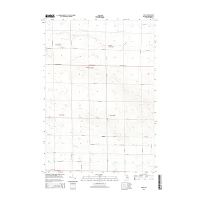
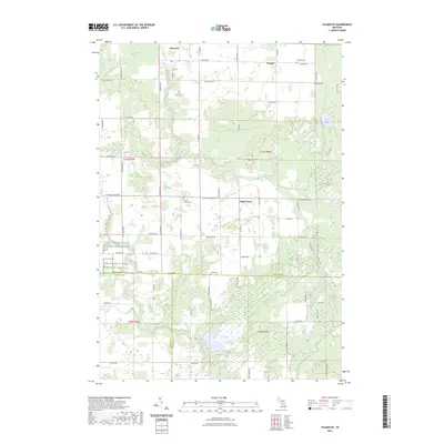
(15)- 2011 Map of Falmouth, 2011 Print
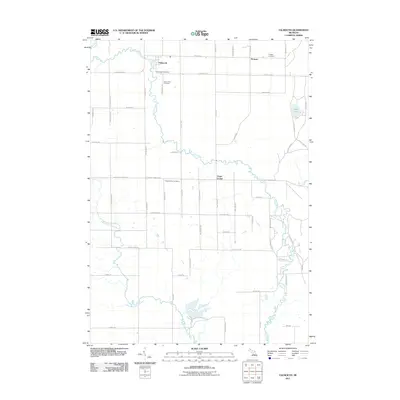 2011 Falmouth2011 Print · USGSCovers Clam Union Township, including Falmouth, Prosper, and other nearby areas
 - 2011 Map of Moddersville, 2011 Print
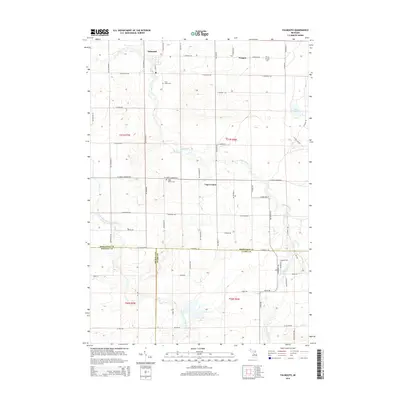
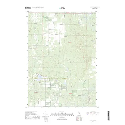
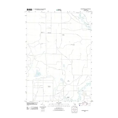 2011 Moddersville2011 Print · USGSCovers Clam Union Township, including Dolph, Moddersville, and other nearby areas
 - 2011 Map of Dinca, 2011 Print
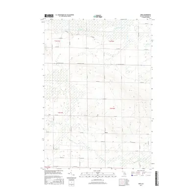
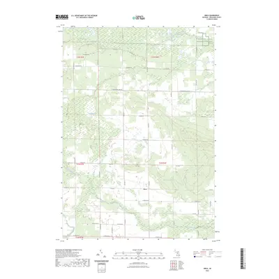
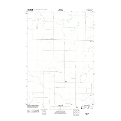 2011 Dinca2011 Print · USGSCovers Clam Union Township, including Aetna Township, Keelans Corner, and other nearby areas
 - 2014 Map of Moddersville, 2014 Print
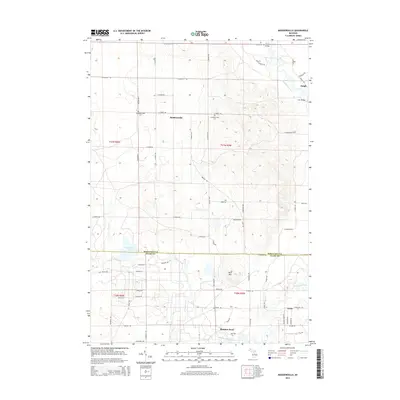 2014 Moddersville2014 Print · USGSCovers Clam Union Township, including Dolph, Moddersville, and other nearby areas
 - 2014 Map of Dinca, 2014 Print
 2014 Dinca2014 Print · USGSCovers Clam Union Township, including Aetna Township, Keelans Corner, and other nearby areas
 - 2014 Map of Falmouth, 2014 Print
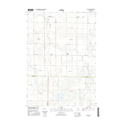
 2014 Falmouth2014 Print · USGSCovers Clam Union Township, including Falmouth, Prosper, and other nearby areas
 - 2017 Map of Falmouth, 2017 Print
 2017 Falmouth2017 Print · USGSCovers Clam Union Township, including Falmouth, Prosper, and other nearby areas
 - 2017 Map of Dinca, 2017 Print
 2017 Dinca2017 Print · USGSCovers Clam Union Township, including Aetna Township, Keelans Corner, and other nearby areas
 - 2017 Map of Moddersville, 2017 Print
 2017 Moddersville2017 Print · USGSCovers Clam Union Township, including Dolph, Moddersville, and other nearby areas
 - 2019 Map of Falmouth, 2019 Print
 2019 Falmouth2019 Print · USGSCovers Clam Union Township, including Falmouth, Prosper, and other nearby areas
 - 2019 Map of Dinca, 2019 Print
 2019 Dinca2019 Print · USGSCovers Clam Union Township, including Aetna Township, Keelans Corner, and other nearby areas
 - 2019 Map of Moddersville, 2019 Print
 2019 Moddersville2019 Print · USGSCovers Clam Union Township, including Dolph, Moddersville, and other nearby areas
 - 2023 Map of Dinca, 2023 Print
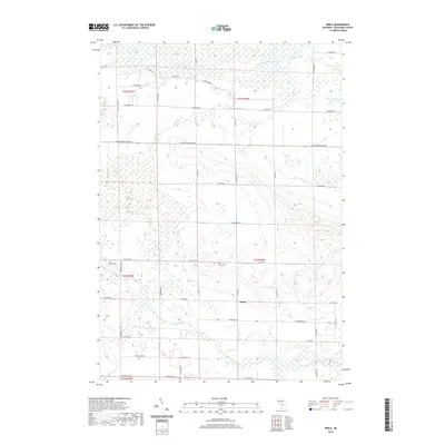
 2023 Dinca2023 Print · USGSMissaukee County's rural character is captured here in the early 2020s, centered on the settlement of Dinca and its surrounding wetlands. Researchers can locate family heritage sites like Aetna Cem or follow the waters of the West Branch Muskegon River and Butterfield Creek.
 - 2023 Map of Falmouth, 2023 Print
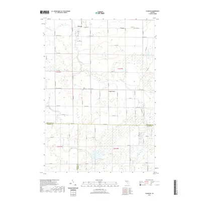
 2023 Falmouth2023 Print · USGSMissaukee County's rural agricultural landscape is documented here in the early twenty-first century. Researchers can trace local heritage through burial sites like Clam Union Cem and the communities of Falmouth, Prosper, and Vogel Center.
 - 2023 Map of Moddersville, 2023 Print
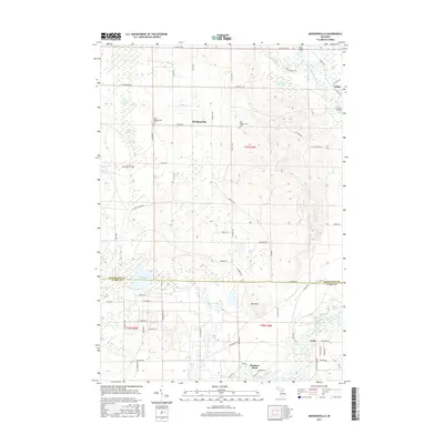
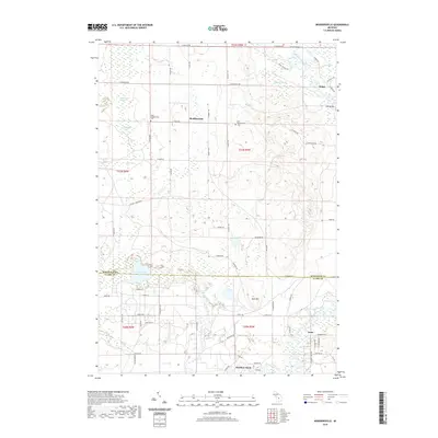
 2023 Moddersville2023 Print · USGSMissaukee and Clare counties are captured in this modern survey, revealing a landscape where the Muskegon River flows through dense wetlands. Researchers can locate the West Moddersville Cem, the settlement of Dolph, and the specialized Kirtlands Warbler W M A.
End of results
Showing maps 1-15 of 15
Top cities near Clam Union Township
- Harrison historical maps
- Lake City historical maps
- Marion historical maps
- McBain historical maps
- Butterfield historical maps
Top neighborhoods of Clam Union Township
Frequently asked questions
- What are the different types of historical maps available for Clam Union Township?
- What is the oldest map of Clam Union Township?
- Where can I purchase historical maps of Clam Union Township for my home or office?
- Where can I download high-res historical maps of Clam Union Township?
- Are there historical topographic maps available for Clam Union Township?
- Is there historical aerial imagery available for Clam Union Township?
- Where are historical maps of Clam Union Township sourced from?