Old Maps of Pioneer Township, Michigan for Academic Research
Study the evolution of Pioneer Township with 31 high-resolution historic maps. Whether you're teaching, researching, or modeling changes in land use, these maps provide essential visual documentation of urban, environmental, and geographic change.
- Analyze long-term change: Track patterns in development, transportation, and natural features.
- Ideal for environmental or urban studies: Support academic projects with primary historical map data.
- Use in the classroom or lab: Educators and researchers rely on these maps to bring historical context to life.
These maps are a powerful tool for teaching, research, and visualizing how Pioneer Township has changed over the decades.
Pioneer Township, MI maps
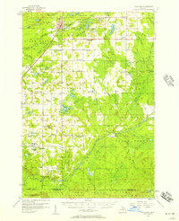
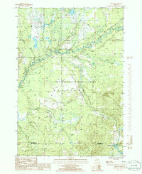
(31)- 1954 Map of Traverse City, 1965 Print
 1954 Traverse City1965 Print · USGSNorthern Michigan’s vast lakeshores and timberlands are captured here in the mid-fifties, showing the region before the modern interstate era. Genealogists and researchers can trace rail connections like the Detroit and Mackinac RR or find old communities such as Suttons Bay, Elk Rapids, and Prudenville.4 unique versions available
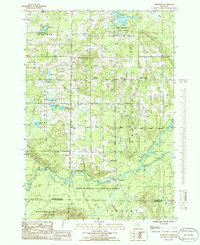
 - 1956 Map of Kalkaska, 1957 Print
 1956 Kalkaska1957 Print · USGSNorthern Michigan’s timber and rail landscape is captured here in the mid-1950s, centered on the Kalkaska village and the Pennsylvania Railroad. Genealogists can trace rural life through sites like Taffeltown, Excelsior Ch, and the Maplegrove Sch.4 unique versions available
 - 1956 Map of Lake City, 1958 Print
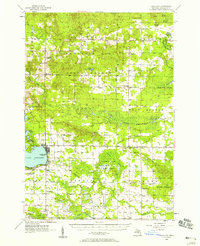 1956 Lake City1958 Print · USGSMissaukee County in the mid-fifties shows a landscape of growing towns and deep timberlands centered on Lake City. Genealogists can trace family sites at the West Branch Cem and Aetna Cem, or locate the Butterfield Oil Field and the Pennsylvania rail line.3 unique versions available
 - 1958 Map of Traverse City
 1958 Traverse City1958 Print · USGSNorthern Lower Michigan was a landscape of vast state forests and burgeoning lakeside retreats in the late fifties. Genealogists and historians can trace the rail corridors of the Ann Arbor RR and find established settlements from Elk Rapids to Houghton Lake.2 unique versions available
 - 1983 Map of Cadillac, 1984 Print
 1983 Cadillac1984 Print · USGSThe Cadillac region in the early eighties was defined by its vast public forests and the prominent dual lakes at its center. Trace the legacies of the timber era along the Old Railroad Grade or locate old rural centers like Vogel Center and Harrietta.
 - 1983 Map of Stittsville, 1984 Print
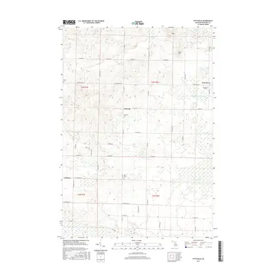
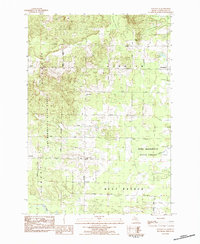 1983 Stittsville1984 Print · USGSMissaukee County's wooded interior is captured here in the early 1980s, showing a landscape defined by state forest lands and quiet crossroads. Researchers can locate the Pioneer Cem, the historic Townhall, and old settlement sites at Moorestown and Stittsville.
 - 1983 Map of Traverse City, 1984 Print
 1983 Traverse City1984 Print · USGSTraverse City and the surrounding bay country are captured in the early eighties as the region balanced its timber heritage with growing conservation. Genealogists and local historians can trace the rail lines of the Ann Arbor RR through settlements like Kingsley and Fife Lake.2 unique versions available
 - 1983 Map of Morey, 1984 Print
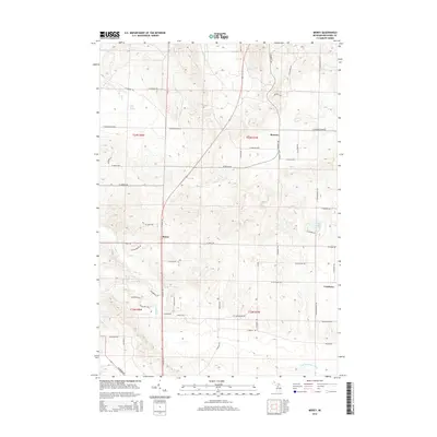
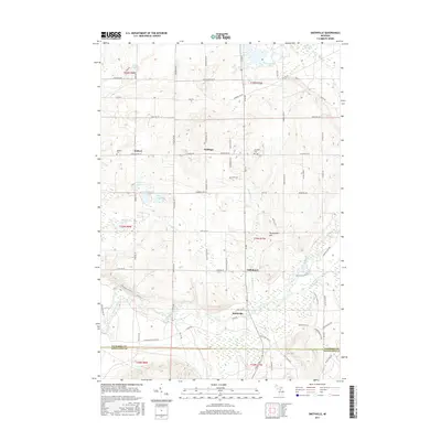
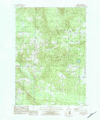 1983 Morey1984 Print · USGSMissaukee County's wooded interior and small rural settlements are captured here in the early 1980s as the state forest system expanded. Genealogists can locate family landmarks like Morey Ch and trace the original township footprints of Bloomfield and Pioneer.
 - 1985 Map of Sharon, 1986 Print
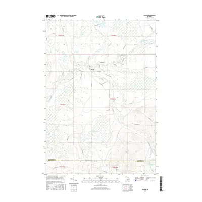
 1985 Sharon1986 Print · USGSKalkaska County's river valleys and state forest lands are captured in the mid-1980s, showcasing a landscape of timber, gas extraction, and wilderness. Researchers can trace the Old RR Grade and locate the Cannon Creek Gas Field near the settlement of Sharon.
 - 1985 Map of Smithville, 1986 Print
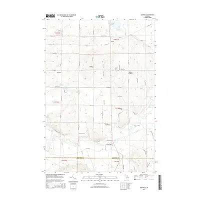
 1985 Smithville1986 Print · USGSThe Manistee River valley in the mid-1980s reveals a quiet landscape of state forest and scattered rural settlements. Researchers can trace the Old RR Grade and locate long-standing landmarks like Smithville, Taffeltown, and the Gem Township Hall.
 - 1989 Map of Traverse City, 1990 Print
 1989 Traverse City1990 Print · USGSNorthern Michigan’s lake-country and forest lands are captured in the late eighties as seasonal tourism and timber hubs expanded. Genealogists and historians can trace the routes of the Ann Arbor RR, the boundaries of Camp Grayling, and settlements like Elk Rapids and Manton.
 - 2011 Map of Sharon, 2011 Print
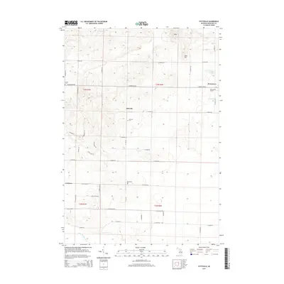
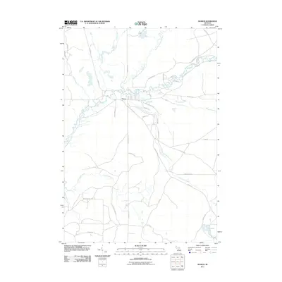 2011 Sharon2011 Print · USGSCovers Pioneer Township, including Garfield Township, Oliver Township, and other nearby areas
 - 2011 Map of Stittsville, 2011 Print
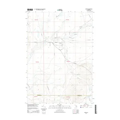
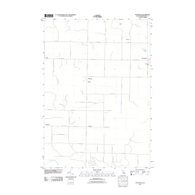 2011 Stittsville2011 Print · USGSCovers Pioneer Township, including Moorestown, Stittsville, and other nearby areas
 - 2011 Map of Morey, 2011 Print
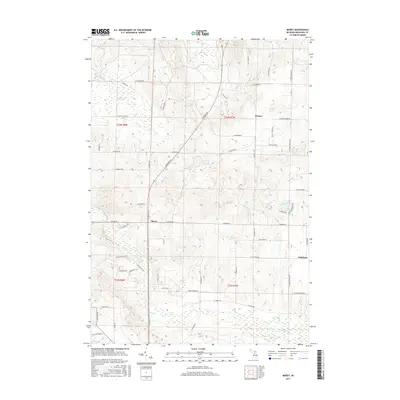
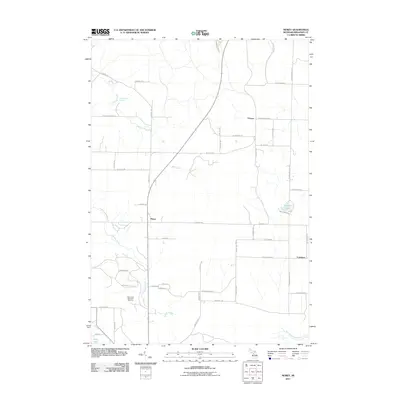 2011 Morey2011 Print · USGSCovers Pioneer Township, including Pioneer, Caldwell Township, and other nearby areas
 - 2011 Map of Smithville, 2011 Print
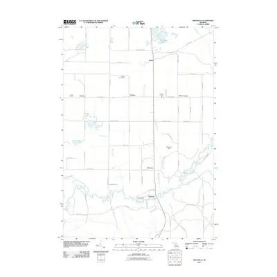 2011 Smithville2011 Print · USGSCovers Pioneer Township, including Boardman Township, Garfield Township, and other nearby areas
 - 2014 Map of Sharon, 2014 Print
 2014 Sharon2014 Print · USGSCovers Pioneer Township, including Garfield Township, Oliver Township, and other nearby areas
 - 2014 Map of Stittsville, 2014 Print
 2014 Stittsville2014 Print · USGSCovers Pioneer Township, including Moorestown, Stittsville, and other nearby areas
 - 2014 Map of Morey, 2014 Print
 2014 Morey2014 Print · USGSCovers Pioneer Township, including Pioneer, Caldwell Township, and other nearby areas
 - 2014 Map of Smithville, 2014 Print
 2014 Smithville2014 Print · USGSCovers Pioneer Township, including Boardman Township, Garfield Township, and other nearby areas
 - 2017 Map of Sharon, 2017 Print
 2017 Sharon2017 Print · USGSCovers Pioneer Township, including Garfield Township, Oliver Township, and other nearby areas
 - 2017 Map of Stittsville, 2017 Print
 2017 Stittsville2017 Print · USGSCovers Pioneer Township, including Moorestown, Stittsville, and other nearby areas
 - 2017 Map of Smithville, 2017 Print
 2017 Smithville2017 Print · USGSCovers Pioneer Township, including Boardman Township, Garfield Township, and other nearby areas
 - 2017 Map of Morey, 2017 Print
 2017 Morey2017 Print · USGSCovers Pioneer Township, including Pioneer, Caldwell Township, and other nearby areas
 - 2019 Map of Sharon, 2019 Print
 2019 Sharon2019 Print · USGSCovers Pioneer Township, including Garfield Township, Oliver Township, and other nearby areas
 - 2019 Map of Morey, 2019 Print
 2019 Morey2019 Print · USGSCovers Pioneer Township, including Pioneer, Caldwell Township, and other nearby areas
Showing maps 1-25 of 31
Top cities near Pioneer Township
- Cadillac historical maps
- Haring Township historical maps
- Whitewater Township historical maps
- Fife Lake Township historical maps
- Lake City historical maps
- Butterfield historical maps
See more
Top neighborhoods of Pioneer Township
Frequently asked questions
- What are the different types of historical maps available for Pioneer Township?
- What is the oldest map of Pioneer Township?
- Where can I purchase historical maps of Pioneer Township for my home or office?
- Where can I download high-res historical maps of Pioneer Township?
- Are there historical topographic maps available for Pioneer Township?
- Is there historical aerial imagery available for Pioneer Township?
- Where are historical maps of Pioneer Township sourced from?