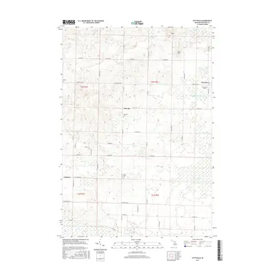
2017 Map of Stittsville
USGS Topo · Published 2017About this map
The low-lying wetlands of Missaukee County define this portion of Michigan, where Dead Stream and several large marshes like Haymarsh Swamp and Excelsior Swamp dominate the landscape. This 2017 study illustrates a rural township structure anchored by small settlements such as Moorestown and Stittsville, which grew around local agricultural and timber interests. The presence of Pioneer Cem, Stittsville Cem, and West Branch Cem provides significant genealogical value for those tracing family roots in Norwich Township.
Find a feature on this map
47 named features on this map. Tap any name to fly to it.
Don’t see what you’re looking for? This feature index may not catch every label — zoom into the map to look around manually.
Map Details
Editions of this 2017 Stittsville Map
This is the sole edition of this map. No revisions or reprints were ever made.
Other maps of this area

1949 · Fletcher
USGS Topo · 1:62,500

1950 · Fletcher
USGS Topo · 1:24,000

1954 · Traverse City
USGS Topo · 1:250,000

1956 · Kalkaska
USGS Topo · 1:62,500

1956 · Houghton Lake
USGS Topo · 1:62,500

1956 · Lake City
USGS Topo · 1:62,500

1958 · Traverse City
USGS Topo · 1:250,000

1983 · Cadillac
USGS Topo · 1:100,000

1983 · Stittsville
USGS Topo · 1:24,000

1983 · Lake City
USGS Topo · 1:25,000