2020s Maps of Montcalm County, Michigan
Explore 24 historic maps of Montcalm County from the 2020s. These maps offer a rare glimpse into what life looked like during the 2020s — showing old roads, neighborhoods, homes, and landmarks that have changed or disappeared over time.
Whether you're researching your family's past, planning a metal detecting trip, or studying how Montcalm County's landscape evolved across the 2020s, these high-resolution maps are a powerful tool for exploring the history of this region.
- Focus on a specific era: All maps on this page are from the 2020s, giving you a focused view of this time period.
- See what’s changed: Compare century-old streets, trails, and buildings to today's modern landscape using overlays and satellite layers.
- Research with precision: Use these maps for genealogy, historical research, land use analysis, or educational projects.
- View, download, or print: Maps are fully viewable online in high resolution, and can be downloaded or printed for your own records.
Start exploring Montcalm County's history through authentic maps from the 2020s. This is your window into the past.
Montcalm County, MI maps
(24)- 2023 Map of Carson City, 2023 Print
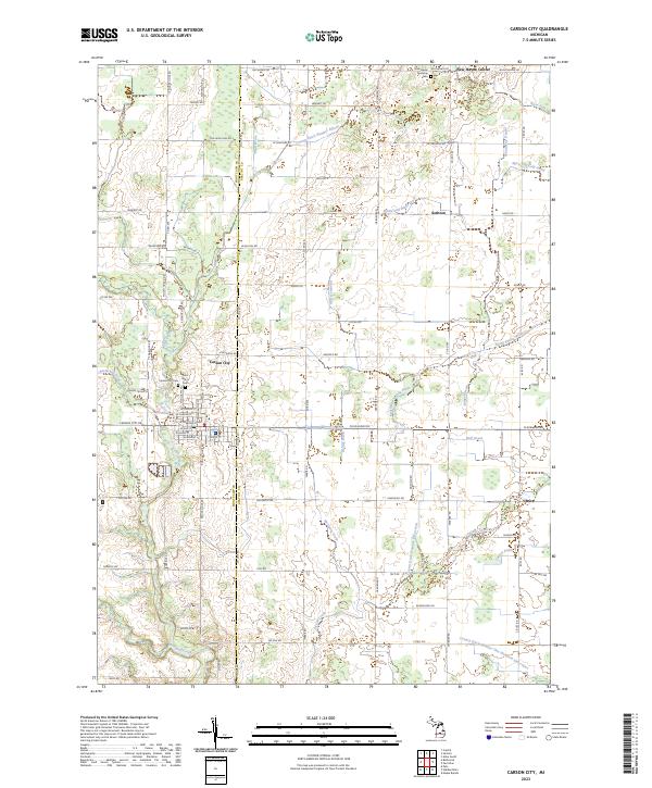 2023 Carson City2023 Print · USGSThe border of Montcalm and Gratiot Counties comes into focus in this contemporary survey of the Carson City area. Genealogists and local historians can trace family sites near Saint Marys Cem or explore small settlements like Sethton and Brice.
 - 2023 Map of Crystal, 2023 Print
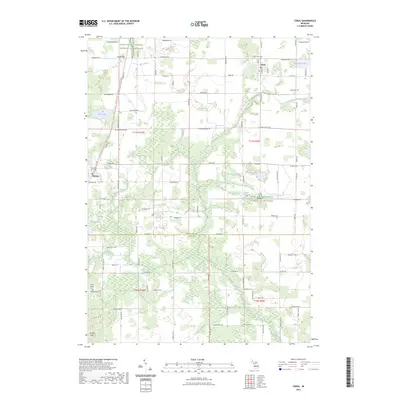
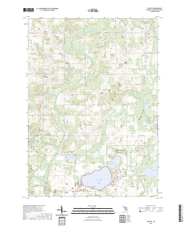 2023 Crystal2023 Print · USGSMontcalm County’s lake country is captured here in the early 2020s, centered on the recreational and residential hub of Crystal. Researchers can trace local landmarks and family-named roads near Crystal Lake, Ferris, and the Center Cem.
 - 2023 Map of Hubbardston, 2023 Print
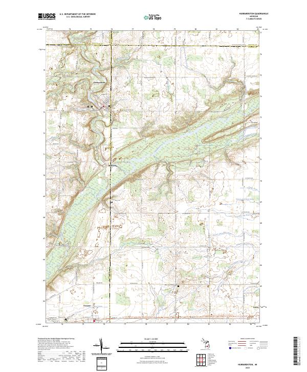 2023 Hubbardston2023 Print · USGSHubbardston and the Maple River valley are captured in this modern survey of the Ionia and Clinton county line. Researchers can locate ancestral sites at Saint Johns Cem or trace the old rail grade now used as the Fred Meijer State Trl.
 - 2023 Map of Palo, 2023 Print
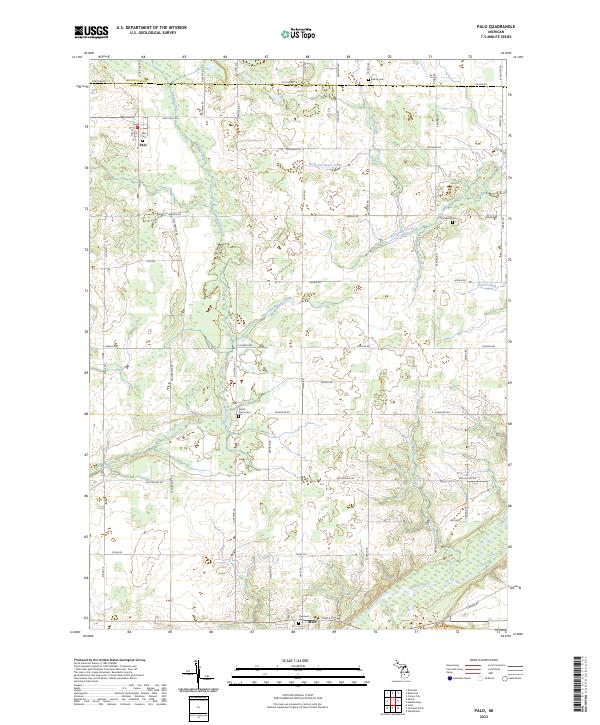 2023 Palo2023 Print · USGSIonia County farmland and the riverfront village of Muir are captured in this modern survey. Genealogists and local historians can trace family plots at North Plains Cem and Oakwood Cem or follow the winding course of the Maple River.
 - 2023 Map of Sumner, 2023 Print
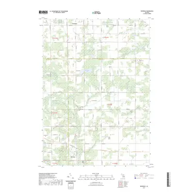
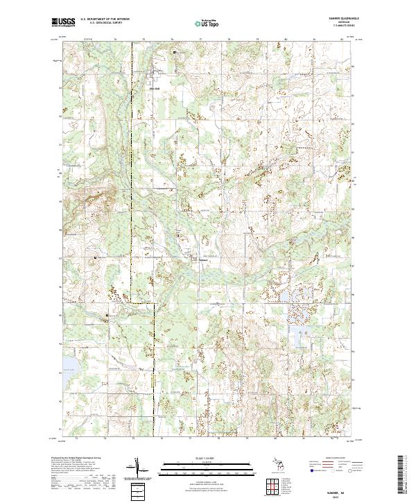 2023 Sumner2023 Print · USGSGratiot County's agricultural heartland is documented here in recent detail, centered on the historic settlements of Sumner and Elm Hall. Researchers can trace family history through local landmarks like Sumner Cem, Spencer Cem, and the path of the Pine River.
 - 2023 Map of Vestaburg, 2023 Print
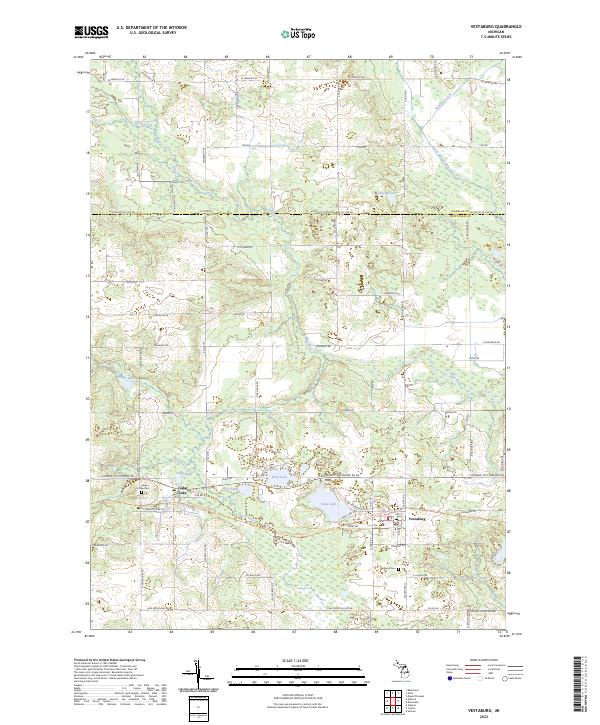 2023 Vestaburg2023 Print · USGSMontcalm County’s lakeland and quiet villages are captured here in the early twenty-first century. Researchers can trace local heritage at Cedar Lake Cem, locate the village of Vestaburg, and follow the Fred Meijer Heartland Trl across the terrain.
 - 2023 Map of Butternut, 2023 Print
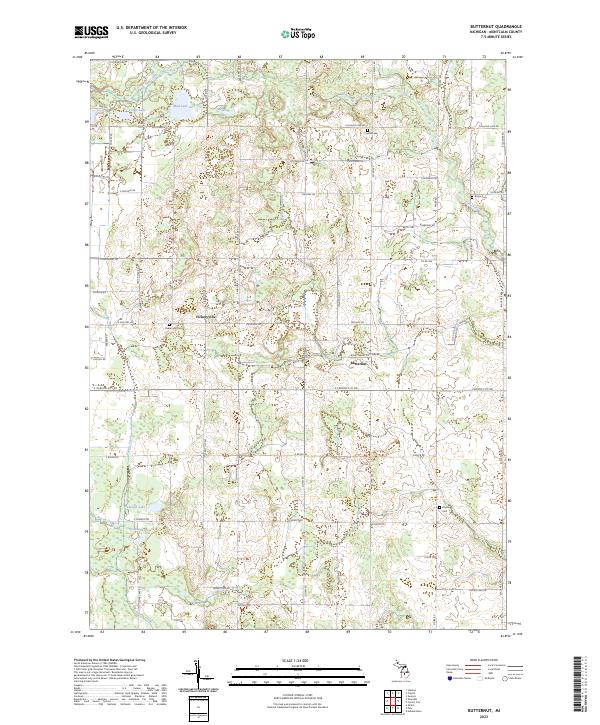 2023 Butternut2023 Print · USGSMontcalm County’s rural crossroads and water systems are documented in this recent survey. Local historians can trace the community layouts of Vickeryville and Butternut or locate family roots at Vickeryville Cem and Bloomer Cem.
 - 2023 Map of Sand Lake, 2023 Print
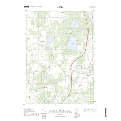 2023 Sand Lake2023 Print · USGSThe lake-dotted borderlands of Kent and Montcalm Counties appear in clear detail in this recent survey. Researchers can trace family history through several local burial grounds like Crandall Cem or locate seasonal properties near Whitefish Lake and Sand Lake.
 - 2023 Map of Six Lakes, 2023 Print
 2023 Six Lakes2023 Print · USGSMontcalm County’s lakeland geography is on full display in this modern survey of the Six Lakes area and the Mecosta County line. Genealogists and local historians can locate several family burial sites including Hillcrest Cem and Morton Cem near the shores of Townline Lake.
 - 2023 Map of Shiloh, 2023 Print
 2023 Shiloh2023 Print · USGSThe crossroads of Shiloh and the rural townships of Ionia and Montcalm counties are shown here in recent years. Genealogists can locate family names and burial sites at Woodard Lake Cem, Snows Cem, and Higbee Cem along the quiet county roads.
 - 2023 Map of Riverdale, 2023 Print
 2023 Riverdale2023 Print · USGSThe borderlands of Isabella and Gratiot counties come into focus in the 2020s, centered on the historic community of Riverdale. Researchers can locate several rural burial grounds like Irishtown Cem and Sibley Cem near the winding course of the Pine River.
 - 2023 Map of Langston, 2023 Print
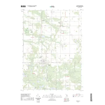
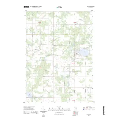
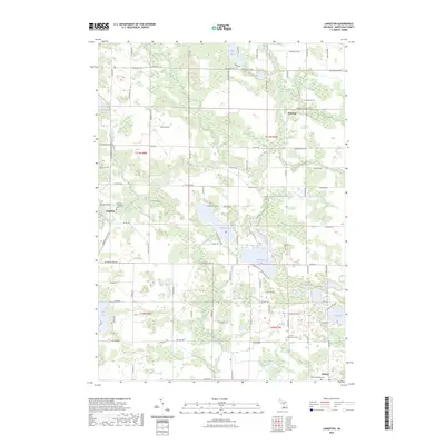 2023 Langston2023 Print · USGSMontcalm County’s rural crossroads and lake-dotted landscape are documented here in the early twenty-first century. Genealogists and local historians can pinpoint Riverside - Langston Cem and family-named routes near Entrican and Clifford Lake.
 - 2023 Map of Stanton, 2023 Print
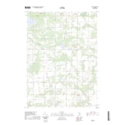
 2023 Stanton2023 Print · USGSMontcalm County’s central landscape is captured here in the early twenty-first century, centered on the historic seat at Stanton. Researchers can trace local lineage through several sites including Forest Hill Cem, McBrides Cem, and the Montcalm County Courthouse.
 - 2023 Map of Greenville West, 2023 Print
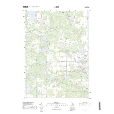 2023 Greenville West2023 Print · USGSModern-day Greenville and the surrounding lake country of Montcalm County appear here in fine detail. Genealogists can locate several local burial sites like Spencer Mills Cem and Monroe Cem alongside landmarks such as Wabasis Lake and the Flat River.
 - 2023 Map of Tift Corner, 2023 Print
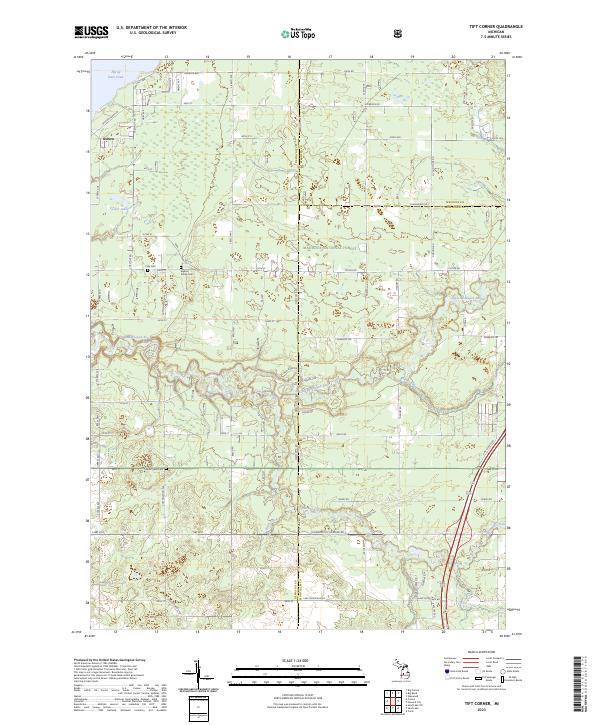 2023 Tift Corner2023 Print · USGSNewaygo and Mecosta counties meet in this recent survey of the Michigan woods and wetlands. Genealogists and local historians can trace rural property lines and find quiet burial grounds like Stearns Prairie Cem and Christian Plains Cem.
 - 2023 Map of Smyrna, 2023 Print
 2023 Smyrna2023 Print · USGSThe river valleys of Ionia and Kent counties are captured here in the early twenty-first century, showing a landscape of small towns and inland lakes. Researchers can trace local heritage through numerous sites like Smyrna Cemetery, Moseley, and the Boulder Canyon Airport.
 - 2023 Map of Edmore, 2023 Print
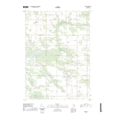 2023 Edmore2023 Print · USGSMontcalm County agriculture and small-town life are preserved in this contemporary survey of the Edmore area. Genealogists and local historians can trace family locations near Edmore, Wyman, and the historic Vinewood Cem or Home Cem.
 - 2023 Map of Greenville East, 2023 Print
 2023 Greenville East2023 Print · USGSGreenville and its eastern outskirts are captured here during a period of steady rural-to-suburban transition. Researchers can trace family history through local sites like South Sidney Cem or explore the development of the Fred Meijer Heartland Trl.
 - 2023 Map of Howard City, 2023 Print
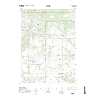
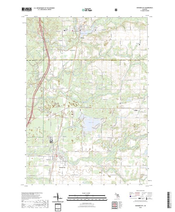 2023 Howard City2023 Print · USGSHoward City and Morley anchor this West Michigan landscape as it appeared in the 2020s, showing a region defined by river valleys and recreational trails. Genealogists can locate several local burial grounds like Saint Apollonia Cem and Reynolds Cem, while outdoor historians can trace the Fred Meijer White Pine Trail State Park.
 - 2023 Map of Coral, 2023 Print
 2023 Coral2023 Print · USGSMontcalm and Kent counties are shown in this 2023 survey as a landscape of rural townships and glacial lakes. Local historians can trace the footprint of Coral and Pierson, locate Saint Marys Cem, or follow the White Pine Trail.
 - 2023 Map of Lakeview, 2023 Print
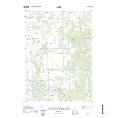
 2023 Lakeview2023 Print · USGSLakeview and the surrounding farmsteads of Montcalm and Mecosta Counties are shown here at the start of the 2020s. Local researchers can trace family roots through the Lakeview Cem and Whitsell Cem, or explore the drainages of Tamarack Creek and Pickerel Lake.
 - 2023 Map of Trufant, 2023 Print
 2023 Trufant2023 Print · USGSThe Montcalm County lake country comes into focus in this recent study of the landscapes surrounding the villages of Trufant and Gowen. Local researchers can trace family roots through several dedicated burial sites like Little Denmark Cem and explore the complex drainage networks of Lovett and Cody Drain.
 - 2023 Map of Belding, 2023 Print
 2023 Belding2023 Print · USGSBelding and its surrounding townships are shown here at the start of the 2020s, centered on the winding Flat River. Researchers can trace local heritage through several burial sites like Old Belding Cem and find the small settlement of Orleans.
 - 2023 Map of Sheridan, 2023 Print
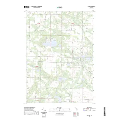
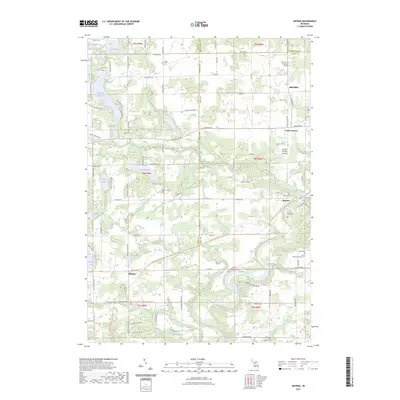
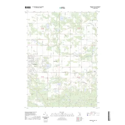
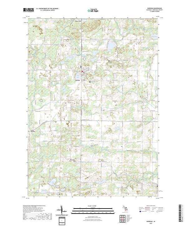 2023 Sheridan2023 Print · USGSMontcalm County’s rural townships are documented here during the early 2020s, showcasing a landscape of small settlements and numerous lakes. Researchers can locate family sites near Sheridan Cemetery or trace old routes connecting Amsden and Fenwick.
End of results
Showing maps 1-24 of 24
Top cities of Montcalm County
- Greenville historical maps
- Stanton historical maps
- Carson City historical maps
- Sheridan historical maps
Frequently asked questions
- What are the different types of historical maps available for Montcalm County?
- What is the oldest map of Montcalm County?
- Where can I purchase historical maps of Montcalm County for my home or office?
- Where can I download high-res historical maps of Montcalm County?
- Are there historical topographic maps available for Montcalm County?
- Is there historical aerial imagery available for Montcalm County?
- Where are historical maps of Montcalm County sourced from?