Old Maps of Montcalm County, Michigan for Metal Detecting
Plan your next treasure hunt with 155 historic maps of Montcalm County. Find old homesites, ghost towns, trails, and gathering spots that may be lost to time — perfect for identifying promising metal detecting locations.
- Locate forgotten sites: Uncover places like long-lost settlements, abandoned rail lines, or gathering spots.
- Plan better hunts: Use map overlays combined with LiDAR or satellite views to narrow in on historically rich areas.
- Made for detectorists: Thousands of hobbyists use these maps to discover relics, coins, and hidden history.
Use these historic maps to boost your research and find new opportunities beneath the surface of Montcalm County.
Montcalm County, MI maps
(155)- 1954 Map of Midland, 1967 Print
 1954 Midland1967 Print · USGSMid-Michigan at the peak of the post-war era shows a landscape balancing industrial growth in Midland with the deep timberlands of the Manistee National Forest. Researchers can trace the legacy of the timber and rail era along the Pennsylvania RR or find family roots in river towns like Chesaning and Big Rapids.4 unique versions available
 - 1958 Map of Midland
 1958 Midland1958 Print · USGSCentral Michigan in the late fifties is captured here during a period of transition for its university towns and industrial hubs. Genealogists and researchers can trace family lines through old rail-stop towns like Breckenridge and Chesaning or locate property near the Muskegon River and Prairie Farm.
 - 1958 Map of Sand Lake, 1960 Print
 1958 Sand Lake1960 Print · USGSWest-central Michigan at the close of the fifties reveals a landscape shaped by the meeting of the Muskegon rivers and the expansive Manistee National Forest. Genealogists can locate family names and sites at Ensley Center, the Lady of Guadalupe Mission, and the Sand Lake Cem.2 unique versions available
 - 1959 Map of Midland
 1959 Midland1959 Print · USGSMid-century Michigan comes alive in this survey of the central Lower Peninsula, from the streets of Grand Rapids to the Houghton Lake timberlands. Genealogists and rail fans can trace the Ann Arbor RR and Chesapeake and Ohio RR through towns like Big Rapids and Mount Pleasant.
 - 1959 Map of Howard City, 1960 Print
 1959 Howard City1960 Print · USGSMontcalm and Mecosta Counties thrived as a patchwork of farming and rail-side villages in the late fifties. You can trace early family sites at Little Denmark, the James Ch Settlement, and numerous rural schools like Huggard Sch or Gaffield Sch.2 unique versions available
 - 1964 Map of Edmore, 1965 Print
 1964 Edmore1965 Print · USGSThe village of Edmore is documented here in the mid-1960s at its junction with the Chesapeake and Ohio railroad. Genealogists and local historians can locate early landmarks such as Vinewood Cem, St Mary Ch, and the Cutler Savage Ch.
 - 1964 Map of Six Lakes, 1965 Print
 1964 Six Lakes1965 Print · USGSThe mid-Michigan village of Six Lakes flourished as a lakeside rail hub in the mid-1960s. Genealogists and local historians can trace the foundations of Belvidere Ch, locate family plots at Evergreen Cem, and follow the Chesapeake and Ohio railroad corridor.2 unique versions available
 - 1964 Map of Langston, 1965 Print
 1964 Langston1965 Print · USGSMontcalm County in the mid-1960s was a landscape of small crossroads settlements and numerous glacial lakes. Researchers can trace family sites near Entrican, the banks of the Flat River, or local landmarks like the Nevins Lake Ch and Entrican Cem.2 unique versions available
 - 1964 Map of Stanton, 1966 Print
 1964 Stanton1966 Print · USGSIn the mid-1960s, the Stanton region was a hub of Montcalm County activity, balancing its rail-served villages with the growing Stanton Oil Field. Genealogists and historians can trace family locations near Forest Hill Cemetery or follow the Chesapeake and Ohio Railroad past Central High Sch.4 unique versions available
 - 1965 Map of Vestaburg, 1966 Print
 1965 Vestaburg1966 Print · USGSMontcalm and Isabella counties appear here in the mid-1960s as a landscape of rural schoolhouses, small lakes, and steady rail traffic. Genealogists and historians can trace the foundations of local life at the Cedar Lake Academy, Richland Cem, and the village of Vestaburg.2 unique versions available
 - 1965 Map of Sumner, 1966 Print
 1965 Sumner1966 Print · USGSGratiot and Montcalm counties are captured here in the mid-1960s, showing a rural landscape where the Pine River winds through agricultural townships. Researchers can trace family history through local sites like Spencer Chapel, Elm Hall Cem, and Crystal Sch.2 unique versions available
 - 1965 Map of Crystal, 1966 Print
 1965 Crystal1966 Print · USGSMontcalm County’s rural townships are seen here in the mid-1960s, a period when lakeside recreation and gravel mining shaped the local economy. Genealogists can locate old rural landmarks like Ferris Ch and West End Sch or trace the early development of Crystal on the shores of Crystal Lake.
 - 1965 Map of Riverdale, 1967 Print
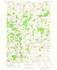 1965 Riverdale1967 Print · USGSThe Pine River valley and the Chesapeake and Ohio railroad define this mid-1960s landscape where Gratiot, Montcalm, and Isabella counties meet. Genealogists and local historians can trace rural roots at Rust and Hay Sch, Jerseyville Ch, and Sibley Cem.
 - 1966 Map of Midland
 1966 Midland1966 Print · USGSCentral Michigan in the mid-1960s shows a landscape of growing manufacturing hubs and active resource extraction. Genealogists and historians can trace the rail corridors of the Grand Trunk Western or locate family-named landmarks near Oil wells and the Muskegon River.
 - 1967 Map of Palo, 1968 Print
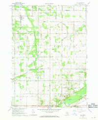 1967 Palo1968 Print · USGSMid-century Ionia and Montcalm counties are captured here just as the rural school and rail systems remained central to the landscape. Genealogists can locate family landmarks like the North Plains Cem, Hayes Sch, and the tracks of the Grand Trunk RR.2 unique versions available
 - 1967 Map of Hubbardston, 1968 Print
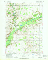 1967 Hubbardston1968 Print · USGSThe borderlands of Ionia and Clinton counties in the late sixties reveal a landscape of river-fed agriculture and expanding state lands. Genealogists and local historians can trace the foundations of Hubbardston and Pewamo or locate rural sites like West Side Cem and the Grand Trunk rail corridor.
 - 1967 Map of Carson City, 1968 Print
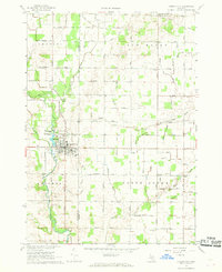 1967 Carson City1968 Print · USGSMid-Michigan farm country and the industrial center of Carson City are captured here in the late sixties. Genealogists and local historians can trace the foundations of the community through landmarks like the Oil Refinery, North Shade Sch, and Mt Hope Ch.
 - 1967 Map of Butternut, 1969 Print
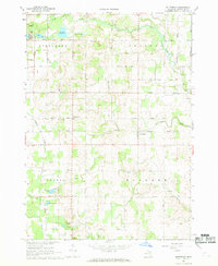 1967 Butternut1969 Print · USGSMontcalm County farmland was defined by its winding creeks and glacial lakes during the late sixties. Genealogists and local historians can trace the roads connecting Vickeryville and Butternut, and locate family burial sites like Bloomer Cem or Butke Cem.2 unique versions available
 - 1972 Map of Greenville West, 1974 Print
 1972 Greenville West1974 Print · USGSGreenville and the surrounding townships of Montcalm and Spencer are shown here during a period of steady growth in the 1970s. Genealogists can locate family sites at Forest Home Cemetery or trace the path of the Chesapeake and Ohio rail line.2 unique versions available
 - 1972 Map of Belding, 1974 Print
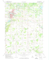 1972 Belding1974 Print · USGSThe Ionia County countryside is captured here in the early seventies, centered on the river-fed industrial core and rural townships. Researchers can trace family history through landmarks like Seeley Church of God, River Ridge Cem, and the old Chesapeake and Ohio rail line.
 - 1972 Map of Greenville East, 1974 Print
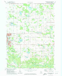 1972 Greenville East1974 Print · USGSMontcalm County enters the early seventies as a landscape of productive gravel pits and quiet wetlands transitioning into the Flat River State Game Area. Researchers can trace the Grand Trunk Western rail line through Millers Station or locate local landmarks like Cedar Crest School and the Township Cemetery.
 - 1972 Map of Sheridan, 1974 Print
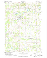 1972 Sheridan1974 Print · USGSMontcalm County in the early seventies shows a landscape defined by small-town rail commerce and a cluster of inland lakes. Genealogists can locate family landmarks like Township Cem, Sunny Hill, and the tracks of the Grand Trunk Western.
 - 1972 Map of Shiloh, 1974 Print
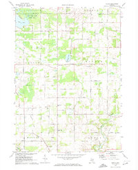 1972 Shiloh1974 Print · USGSIonia and Montcalm counties are shown in the early seventies, centered on rural farming communities and the local school system. Researchers can trace family-named roads and sites like Higbee Cem, Shiloh, and the Old Grade railroad bed.
 - 1972 Map of Smyrna, 1974 Print
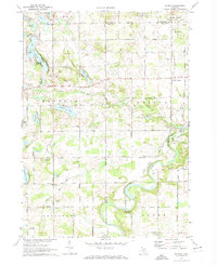 1972 Smyrna1974 Print · USGSIonia and Kent counties come alive in this early 1970s survey, showing the rural landscapes around the Flat River before modern expansion. Genealogists can trace family names through the Otisco Cem and Mason Cem, or locate the historic Whites Bridge (Covered) and the Smyrna settlement.
 - 1976 Map of Howard City NW, 1979 Print
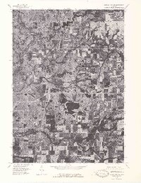 1976 Howard City NW1979 Print · USGSMontcalm County farmland and river valleys are captured in detail in the mid-seventies, showing the region's rural character. Trace the meandering Little Muskegon River and explore the historic footprints of Morley and Howard City.
Showing maps 1-25 of 155
Top cities of Montcalm County
- Greenville historical maps
- Stanton historical maps
- Carson City historical maps
- Sheridan historical maps
Frequently asked questions
- What are the different types of historical maps available for Montcalm County?
- What is the oldest map of Montcalm County?
- Where can I purchase historical maps of Montcalm County for my home or office?
- Where can I download high-res historical maps of Montcalm County?
- Are there historical topographic maps available for Montcalm County?
- Is there historical aerial imagery available for Montcalm County?
- Where are historical maps of Montcalm County sourced from?