Old Maps of Maple Valley Township, Michigan for Metal Detecting
Plan your next treasure hunt with 33 historic maps of Maple Valley Township. Find old homesites, ghost towns, trails, and gathering spots that may be lost to time — perfect for identifying promising metal detecting locations.
- Locate forgotten sites: Uncover places like long-lost settlements, abandoned rail lines, or gathering spots.
- Plan better hunts: Use map overlays combined with LiDAR or satellite views to narrow in on historically rich areas.
- Made for detectorists: Thousands of hobbyists use these maps to discover relics, coins, and hidden history.
Use these historic maps to boost your research and find new opportunities beneath the surface of Maple Valley Township.
Maple Valley Township, MI maps
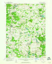
(33)- 1954 Map of Midland, 1967 Print
 1954 Midland1967 Print · USGSMid-Michigan at the peak of the post-war era shows a landscape balancing industrial growth in Midland with the deep timberlands of the Manistee National Forest. Researchers can trace the legacy of the timber and rail era along the Pennsylvania RR or find family roots in river towns like Chesaning and Big Rapids.4 unique versions available
 - 1958 Map of Midland
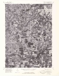
 1958 Midland1958 Print · USGSCentral Michigan in the late fifties is captured here during a period of transition for its university towns and industrial hubs. Genealogists and researchers can trace family lines through old rail-stop towns like Breckenridge and Chesaning or locate property near the Muskegon River and Prairie Farm.
 - 1959 Map of Midland
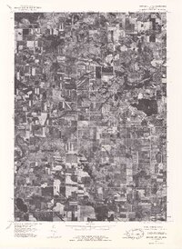
 1959 Midland1959 Print · USGSMid-century Michigan comes alive in this survey of the central Lower Peninsula, from the streets of Grand Rapids to the Houghton Lake timberlands. Genealogists and rail fans can trace the Ann Arbor RR and Chesapeake and Ohio RR through towns like Big Rapids and Mount Pleasant.
 - 1959 Map of Howard City, 1960 Print
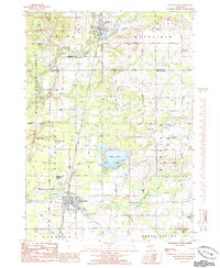
 1959 Howard City1960 Print · USGSMontcalm and Mecosta Counties thrived as a patchwork of farming and rail-side villages in the late fifties. You can trace early family sites at Little Denmark, the James Ch Settlement, and numerous rural schools like Huggard Sch or Gaffield Sch.2 unique versions available
 - 1966 Map of Midland
 1966 Midland1966 Print · USGSCentral Michigan in the mid-1960s shows a landscape of growing manufacturing hubs and active resource extraction. Genealogists and historians can trace the rail corridors of the Grand Trunk Western or locate family-named landmarks near Oil wells and the Muskegon River.
 - 1976 Map of Howard City NW, 1979 Print
 1976 Howard City NW1979 Print · USGSMontcalm County farmland and river valleys are captured in detail in the mid-seventies, showing the region's rural character. Trace the meandering Little Muskegon River and explore the historic footprints of Morley and Howard City.
 - 1976 Map of Howard City NE, 1979 Print
 1976 Howard City NE1979 Print · USGSMontcalm County farmland and the village of Lakeview are captured during the mid-seventies in this detailed aerial orthophoto. Researchers can trace the development of the lakeshore around Tamarack Lake and follow the path of Tamarack Creek.
 - 1985 Map of Howard City
 1985 Howard City1985 Print · USGSHoward City and the surrounding townships of Montcalm and Mecosta counties are captured here in the mid-1980s during a period of transition between rail-era settlements and modern land use. Trace the path of the Pennsylvania Railroad or locate local landmarks like St Apollonia Cem, Indian Lake, and the village of Morley.
 - 1985 Map of Cedar Springs
 1985 Cedar Springs1985 Print · USGSThe northern reaches of the Grand Rapids metro area meet the forests of the Manistee during the mid-eighties. Genealogists and historians can trace the paths of the Grand Trunk Western RR through Sparta or locate rural landmarks near Cedar Springs and Rockford.
 - 1985 Map of Coral
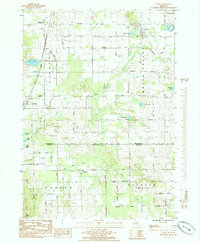 1985 Coral1985 Print · USGSThe glacial landscape of Montcalm County in the mid-eighties is captured here, centered on the village of Coral and the broad Maple Valley. Trace family history at Maple Hill Ch, St Marys Cem, and the old rail corridor.
 - 1985 Map of Lakeview
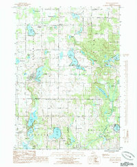
 1985 Lakeview1985 Print · USGSLakeview sits at the center of this mid-1980s Michigan landscape, where the town's life is shaped by the waters of Tamarack Lake. Researchers can trace old property lines and rural landmarks like Hinton Ch, Dickerson Cem, and the defunct Railroad Grade.
 - 1985 Map of Trufant
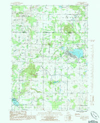
 1985 Trufant1985 Print · USGSThe area surrounding Trufant and Gowen is shown here in the mid-1980s, highlighting a landscape defined by its many lakes. Genealogists can trace local roots at Little Denmark Cem, Settlement Ch, and family-named water bodies like Paulson Lake.
 - 1986 Map of Cedar Springs, 1989 Print
 1986 Cedar Springs1989 Print · USGSThe northern suburbs of Grand Rapids meet the Manistee National Forest in the mid-1980s. Genealogists and historians can trace the rail-side growth of Howard City, Rockford, and Greenville along the C & O RR and Flat River.
 - 2011 Map of Trufant, 2011 Print
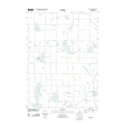 2011 Trufant2011 Print · USGSCovers Maple Valley Township, including Trufant, Turk Lake, and other nearby areas
 - 2011 Map of Coral, 2011 Print
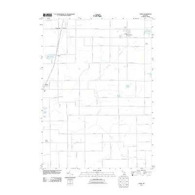 2011 Coral2011 Print · USGSCovers Maple Valley Township, including Pierson, Coral, and other nearby areas
 - 2011 Map of Lakeview, 2011 Print
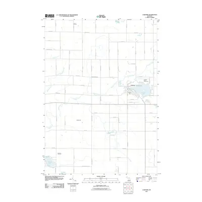 2011 Lakeview2011 Print · USGSCovers Maple Valley Township, including Lakeview, Winfield Township, and other nearby areas
 - 2012 Map of Howard City, 2012 Print
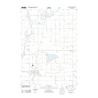 2012 Howard City2012 Print · USGSCovers Maple Valley Township, including Howard City, Morley, and other nearby areas
 - 2014 Map of Howard City, 2014 Print
 2014 Howard City2014 Print · USGSCovers Maple Valley Township, including Howard City, Morley, and other nearby areas
 - 2014 Map of Trufant, 2014 Print
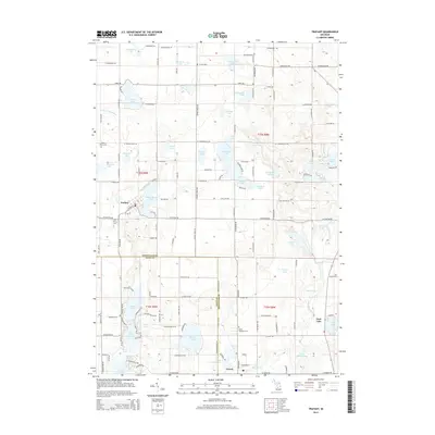 2014 Trufant2014 Print · USGSCovers Maple Valley Township, including Trufant, Turk Lake, and other nearby areas
 - 2014 Map of Lakeview, 2014 Print
 2014 Lakeview2014 Print · USGSCovers Maple Valley Township, including Lakeview, Winfield Township, and other nearby areas
 - 2014 Map of Coral, 2014 Print
 2014 Coral2014 Print · USGSCovers Maple Valley Township, including Pierson, Coral, and other nearby areas
 - 2017 Map of Trufant, 2017 Print
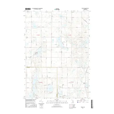 2017 Trufant2017 Print · USGSCovers Maple Valley Township, including Trufant, Turk Lake, and other nearby areas
 - 2017 Map of Lakeview, 2017 Print
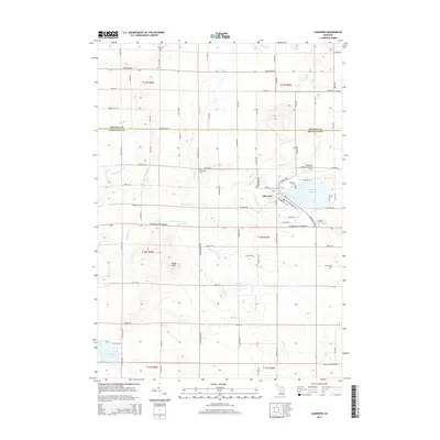
 2017 Lakeview2017 Print · USGSCovers Maple Valley Township, including Lakeview, Winfield Township, and other nearby areas
 - 2017 Map of Howard City, 2017 Print
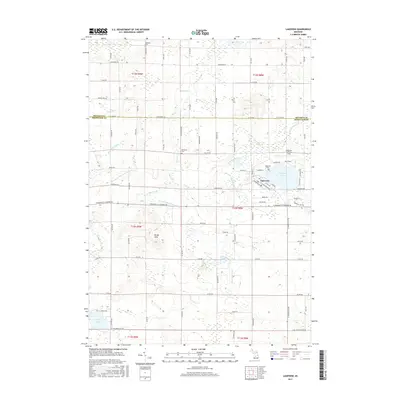
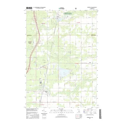 2017 Howard City2017 Print · USGSCovers Maple Valley Township, including Howard City, Morley, and other nearby areas
 - 2017 Map of Coral, 2017 Print
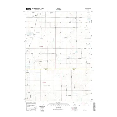
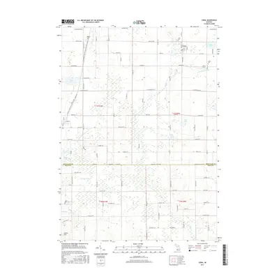 2017 Coral2017 Print · USGSCovers Maple Valley Township, including Pierson, Coral, and other nearby areas
Showing maps 1-25 of 33
Top cities near Maple Valley Township
- Plainfield Charter Township historical maps
- Cannon Township historical maps
- Greenville historical maps
- Rockford historical maps
- Belding historical maps
- Cedar Springs historical maps
See more
Top neighborhoods of Maple Valley Township
Frequently asked questions
- What are the different types of historical maps available for Maple Valley Township?
- What is the oldest map of Maple Valley Township?
- Where can I purchase historical maps of Maple Valley Township for my home or office?
- Where can I download high-res historical maps of Maple Valley Township?
- Are there historical topographic maps available for Maple Valley Township?
- Is there historical aerial imagery available for Maple Valley Township?
- Where are historical maps of Maple Valley Township sourced from?