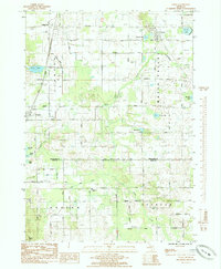
1985 Map of Coral
USGS Topo · Published 1985About this map
Maple Valley defines the central landscape of this 1985 survey, where the glacial topography is marked by numerous kettle lakes and small water bodies. The settlement of Coral sits at a geographic nexus along the Railroad, serving as a focal point for the surrounding rural townships. To the west, the community of Maple Hill is anchored by the Maple Hill Ch, while the southern reaches near the Montcalm Co Kent Co line transition into more agricultural use.
Find a feature on this map
48 named features on this map. Tap any name to fly to it.
Don’t see what you’re looking for? This feature index may not catch every label — zoom into the map to look around manually.
Map Details
Editions of this 1985 Coral Map
This is the sole edition of this map. No revisions or reprints were ever made.
Other maps of this area
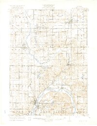
1918 · Cedar Springs
USGS Topo · 1:62,500
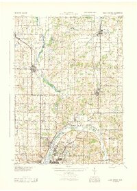
1943 · Cedar Springs
USGS Topo · 1:62,500

1954 · Midland
USGS Topo · 1:250,000

1958 · Midland
USGS Topo · 1:250,000
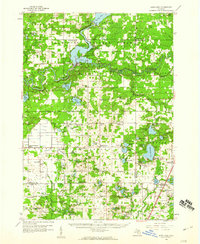
1958 · Sand Lake
USGS Topo · 1:62,500

1959 · Midland
USGS Topo · 1:250,000
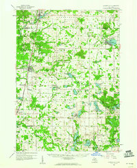
1959 · Howard City
USGS Topo · 1:62,500

1966 · Midland
USGS Topo · 1:250,000
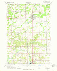
1967 · Cedar Springs
USGS Topo · 1:24,000
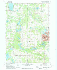
1972 · Greenville West
USGS Topo · 1:24,000