2020s Maps of Montmorency County, Michigan
Explore 16 historic maps of Montmorency County from the 2020s. These maps offer a rare glimpse into what life looked like during the 2020s — showing old roads, neighborhoods, homes, and landmarks that have changed or disappeared over time.
Whether you're researching your family's past, planning a metal detecting trip, or studying how Montmorency County's landscape evolved across the 2020s, these high-resolution maps are a powerful tool for exploring the history of this region.
- Focus on a specific era: All maps on this page are from the 2020s, giving you a focused view of this time period.
- See what’s changed: Compare century-old streets, trails, and buildings to today's modern landscape using overlays and satellite layers.
- Research with precision: Use these maps for genealogy, historical research, land use analysis, or educational projects.
- View, download, or print: Maps are fully viewable online in high resolution, and can be downloaded or printed for your own records.
Start exploring Montmorency County's history through authentic maps from the 2020s. This is your window into the past.
Montmorency County, MI maps
(16)- 2023 Map of McCollum Lake, 2023 Print
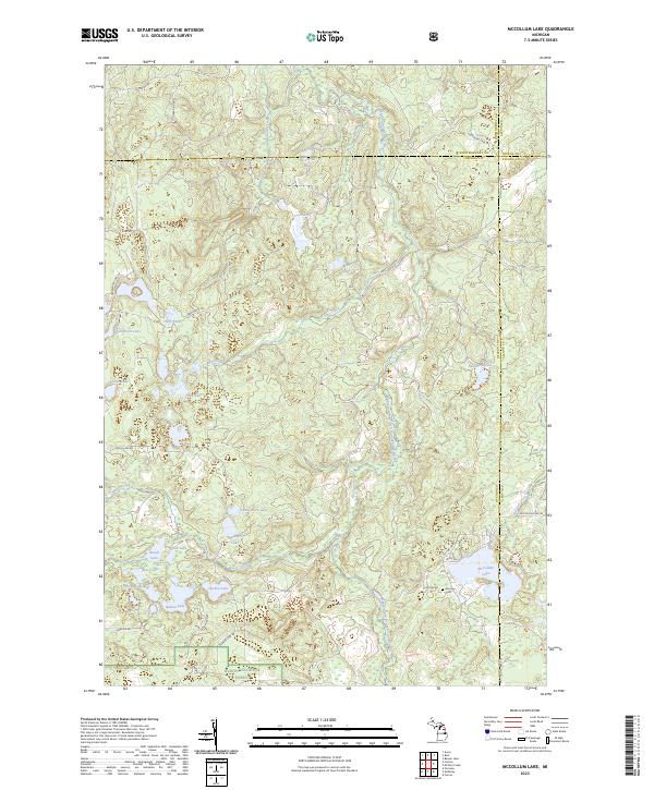 2023 McCollum Lake2023 Print · USGSThe Oscoda and Alcona county borderlands are preserved here in the early twenty-first century as part of the Huron National Forest. Researchers can map the intricate lake-and-river systems surrounding McCollum Lake or locate the historic Mooney Cem.
 - 2023 Map of Hillman, 2023 Print
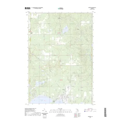
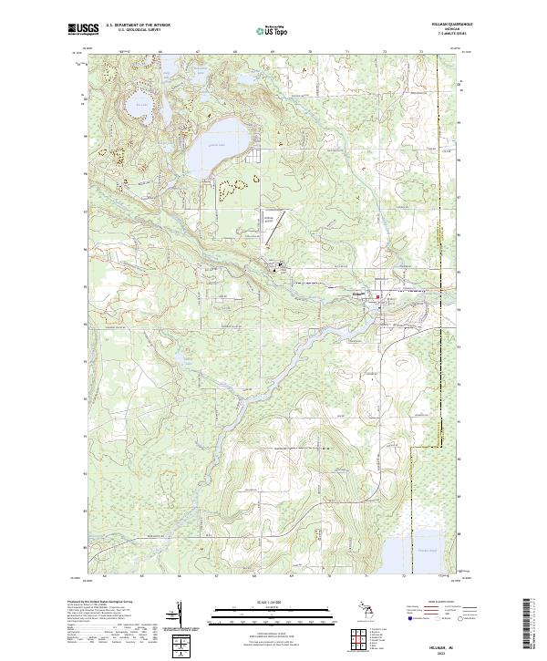 2023 Hillman2023 Print · USGSThe village of Hillman and the surrounding lake country are captured here in the early 2020s. Genealogists and local historians can trace the community heart through Saint Augustine Cem, Hillman Rust Cem, and the waters of Avalon Lake.
 - 2023 Map of Silver Lake, 2023 Print
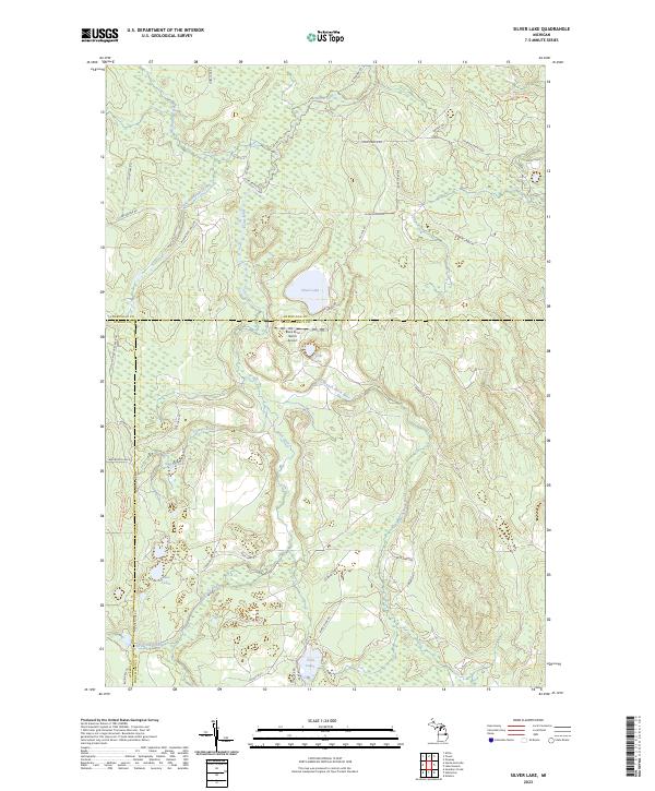 2023 Silver Lake2023 Print · USGSNorthern Michigan's interior wilderness is captured here in the early twenty-first century, spanning the junction of three counties. Trace outdoor history along the High Country Pathway Trl or locate the Black River Ranch Airport near Silver Lake.
 - 2023 Map of Hetherton, 2023 Print
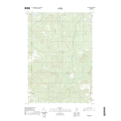 2023 Hetherton2023 Print · USGSNorthern Michigan's forest and river systems are shown here in the early twenty-first century as the landscape serves both conservation and recreation. Genealogists and researchers can locate Gingell Cem and trace the complex waterways of the East Branch Black River and Green Swamp.
 - 2023 Map of Royston, 2023 Print
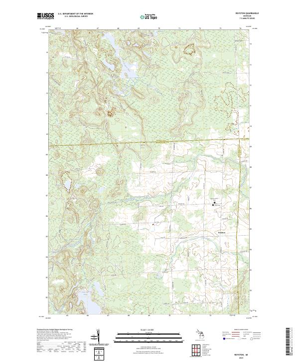 2023 Royston2023 Print · USGSMontmorency County and its neighboring borderlands appear here in the early twenty-first century as a landscape defined by river systems and rural crossroads. Researchers can trace the path of the North Branch Thunder Bay River or locate historic burial sites at Montmorency Cem and Saint Johns Cem.
 - 2023 Map of Lewiston, 2023 Print
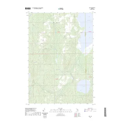
 2023 Lewiston2023 Print · USGSMontmorency County is mapped in modern detail at the shores of the Twin Lakes during a period of established lakeside residency. Researchers can locate family sites and local landmarks from Lewiston to Vienna Corners, including Charlton Cem and Gaylanta Lake.
 - 2023 Map of Atlanta, 2023 Print
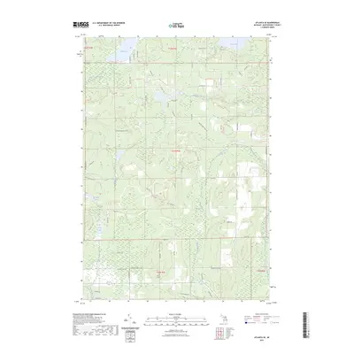
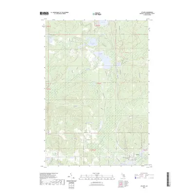 2023 Atlanta2023 Print · USGSThe northern Michigan community of Atlanta is shown in detail during the early 2020s, centered on the Thunder Bay River. Genealogists and local historians can trace the town layout near the Montmorency County Courthouse and locate the Briley Cem among the surrounding lakes.
 - 2023 Map of Cranberry Lake, 2023 Print
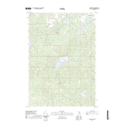
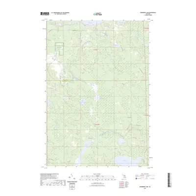 2023 Cranberry Lake2023 Print · USGSMontmorency and Presque Isle counties are shown here in the early 2020s, dominated by conservation lands and water systems. You can trace the trails through the Kirtlands Warbler Wildlife Management Area or locate remote sites like Upper Tomahawk Lake and Rush Lake.
 - 2023 Map of Rust, 2023 Print
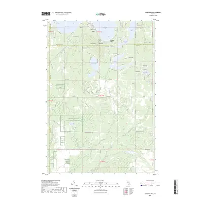
 2023 Rust2023 Print · USGSMontmorency County is captured here in a moment of quiet continuity, centered on the settlement of Rust and its network of woodland roads. Genealogists and researchers can trace local landmarks like Rust Cem or explore the shorelines of Turtle Lake and Fletcher Pond.
 - 2023 Map of Atlanta SE, 2023 Print
 2023 Atlanta SE2023 Print · USGSMontmorency County’s water-rich landscape is documented here in the early twenty-first century, showing the network of lakes and rivers southeast of Atlanta. Genealogists and researchers can locate Avery Cem or trace the winding paths of Brush Creek and the North Branch Thunder Bay River.
 - 2023 Map of Lake Geneva, 2023 Print
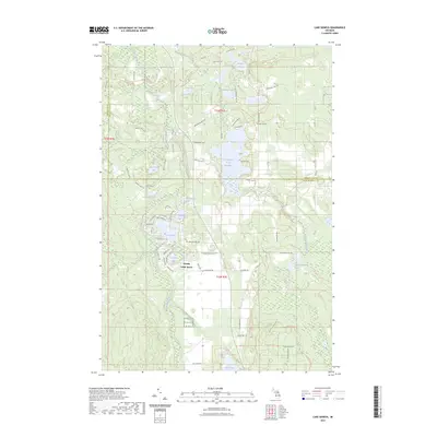 2023 Lake Geneva2023 Print · USGSThe northern Michigan highlands at the junction of three counties are showcased here in a modern survey of its dense lake country. Genealogists and outdoor historians can trace the bounds of Canada Creek Ranch and locate secluded water such as Shoepac Lake and Bear Den Lake.
 - 2023 Map of Oak Lake, 2023 Print
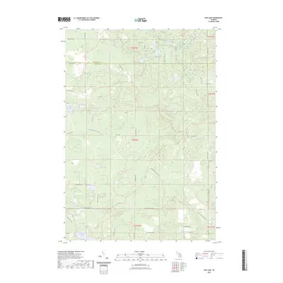 2023 Oak Lake2023 Print · USGSThe borderlands of Oscoda and Montmorency Counties are shown here in the early 2020s, dominated by a dense network of glacial lakes and marshy lowlands. Researchers can trace recreational and timber access routes like Mio Trl or locate family landmarks near Oak Lake and Bushman Swamp.
 - 2023 Map of Crooked Lake, 2023 Print
 2023 Crooked Lake2023 Print · USGSNorthern Michigan’s lake-dotted landscape in Montmorency County appears here as a modern recreational haven. Researchers can trace local heritage at the Finnish Cem or follow watercourses like the Thunder Bay River and Sage Lakes.
 - 2023 Map of Comstock Hills, 2023 Print
 2023 Comstock Hills2023 Print · USGSNorthern Michigan's lake country and protected bird habitats are surveyed in this 2023 map of Oscoda County. Trace local developments around Lewiston or locate landmarks like Lake Big Wolf and the Eagle II Airport.
 - 2023 Map of Avery, 2023 Print
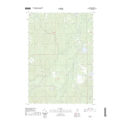 2023 Avery2023 Print · USGSMontmorency County is mapped here in the early twenty-first century, showing the complex hydrology of the Thunder Bay River basin. Researchers can trace land divisions and local landmarks like the Atlanta Municipal Airport, Lockwood Lake, and Blue Lake.
 - 2023 Map of Comins, 2023 Print
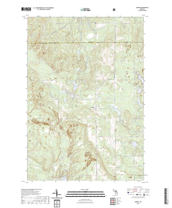 2023 Comins2023 Print · USGSOscoda County and the southern edge of Montmorency County are captured here in the early twenty-first century, centered on the village of Comins. Researchers can trace local landmarks like Loud Cem and the complex wetlands surrounding Comins Marsh and Boiling Springs.
End of results
Showing maps 1-16 of 16
Frequently asked questions
- What are the different types of historical maps available for Montmorency County?
- What is the oldest map of Montmorency County?
- Where can I purchase historical maps of Montmorency County for my home or office?
- Where can I download high-res historical maps of Montmorency County?
- Are there historical topographic maps available for Montmorency County?
- Is there historical aerial imagery available for Montmorency County?
- Where are historical maps of Montmorency County sourced from?