Old Maps of Avery, Avery Township for Metal Detecting
Plan your next treasure hunt with 11 historic maps of Avery. Find old homesites, ghost towns, trails, and gathering spots that may be lost to time — perfect for identifying promising metal detecting locations.
- Locate forgotten sites: Uncover places like long-lost settlements, abandoned rail lines, or gathering spots.
- Plan better hunts: Use map overlays combined with LiDAR or satellite views to narrow in on historically rich areas.
- Made for detectorists: Thousands of hobbyists use these maps to discover relics, coins, and hidden history.
Use these historic maps to boost your research and find new opportunities beneath the surface of Avery.
Avery, Avery Township maps
(11)- 1954 Map of Traverse City, 1965 Print
 1954 Traverse City1965 Print · USGSNorthern Michigan’s vast lakeshores and timberlands are captured here in the mid-fifties, showing the region before the modern interstate era. Genealogists and researchers can trace rail connections like the Detroit and Mackinac RR or find old communities such as Suttons Bay, Elk Rapids, and Prudenville.4 unique versions available
 - 1955 Map of Comins, 1956 Print
 1955 Comins1956 Print · USGSMontmorency and Oscoda counties are captured in the mid-fifties, showing a landscape defined by state forests and emerging post-war recreation. Genealogists and local historians can locate the Loud Sch, the Finnish Cem, and the Sheridan Valley Ski Area during its early years.2 unique versions available
 - 1958 Map of Traverse City
 1958 Traverse City1958 Print · USGSNorthern Lower Michigan was a landscape of vast state forests and burgeoning lakeside retreats in the late fifties. Genealogists and historians can trace the rail corridors of the Ann Arbor RR and find established settlements from Elk Rapids to Houghton Lake.2 unique versions available
 - 1983 Map of Grayling, 1984 Print
 1983 Grayling1984 Print · USGSIn the early eighties, this Northern Michigan interior was a hub for forestry, military training, and river recreation. Researchers can trace the sprawling boundaries of Camp Grayling and locate historic markers like Hartwick Pines and Otsego Lake.2 unique versions available
 - 1986 Map of Avery
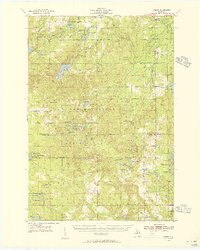
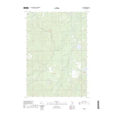
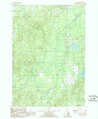 1986 Avery1986 Print · USGSMontmorency County was a landscape of timber and trout streams in the 1980s, shaped by the logging history of the Mackinaw State Forest. Researchers can trace the Old Railroad Grade past Avery and locate family landmarks along Gilchrist Creek or near Lockwood Lake.
 - 1989 Map of Traverse City, 1990 Print
 1989 Traverse City1990 Print · USGSNorthern Michigan’s lake-country and forest lands are captured in the late eighties as seasonal tourism and timber hubs expanded. Genealogists and historians can trace the routes of the Ann Arbor RR, the boundaries of Camp Grayling, and settlements like Elk Rapids and Manton.
 - 2011 Map of Avery, 2011 Print
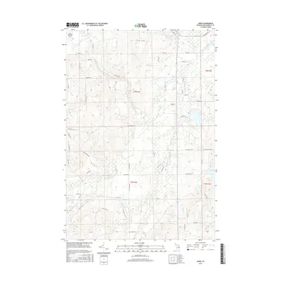
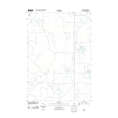 2011 Avery2011 Print · USGSCovers Avery, including Avery Township, Loud Township, and other nearby areas
 - 2014 Map of Avery, 2014 Print
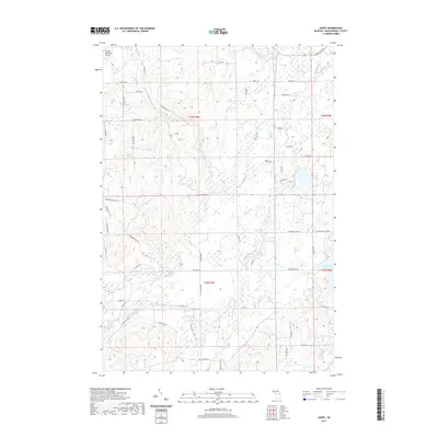
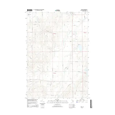 2014 Avery2014 Print · USGSCovers Avery, including Avery Township, Loud Township, and other nearby areas
 - 2017 Map of Avery, 2017 Print
 2017 Avery2017 Print · USGSCovers Avery, including Avery Township, Loud Township, and other nearby areas
 - 2019 Map of Avery, 2019 Print
 2019 Avery2019 Print · USGSCovers Avery, including Avery Township, Loud Township, and other nearby areas
 - 2023 Map of Avery, 2023 Print
 2023 Avery2023 Print · USGSMontmorency County is mapped here in the early twenty-first century, showing the complex hydrology of the Thunder Bay River basin. Researchers can trace land divisions and local landmarks like the Atlanta Municipal Airport, Lockwood Lake, and Blue Lake.
End of results
Showing maps 1-11 of 11
Top cities near Avery
- Hillman historical maps
- Atlanta historical maps
- Rust historical maps
- Canada Creek Ranch historical maps
Frequently asked questions
- What are the different types of historical maps available for Avery?
- What is the oldest map of Avery?
- Where can I purchase historical maps of Avery for my home or office?
- Where can I download high-res historical maps of Avery?
- Are there historical topographic maps available for Avery?
- Is there historical aerial imagery available for Avery?
- Where are historical maps of Avery sourced from?