Old Maps of Beaver Township, Michigan for Metal Detecting
Plan your next treasure hunt with 26 historic maps of Beaver Township. Find old homesites, ghost towns, trails, and gathering spots that may be lost to time — perfect for identifying promising metal detecting locations.
- Locate forgotten sites: Uncover places like long-lost settlements, abandoned rail lines, or gathering spots.
- Plan better hunts: Use map overlays combined with LiDAR or satellite views to narrow in on historically rich areas.
- Made for detectorists: Thousands of hobbyists use these maps to discover relics, coins, and hidden history.
Use these historic maps to boost your research and find new opportunities beneath the surface of Beaver Township.
Beaver Township, MI maps
(26)- 1931 Map of Walkerville NE
 1931 Walkerville NE1931 Print · USGSThe Oceana and Newaygo county lines meet in this early 1930s portrait of rural Michigan life. Genealogists and historians can trace several local schoolhouses like Gowdy Sch and Volney Sch near the village of Walkerville.
 - 1954 Map of Milwaukee, 1967 Print
 1954 Milwaukee1967 Print · USGSCoastal life and maritime commerce across Lake Michigan are seen here during the mid-fifties, bridging Wisconsin's industrial hubs and Michigan's timberlands. Genealogists and historians can trace the rail lines of the Grand Trunk Western and find long-established ports like Ludington, Port Washington, and Muskegon.3 unique versions available
 - 1954 Map of Midland, 1967 Print
 1954 Midland1967 Print · USGSMid-Michigan at the peak of the post-war era shows a landscape balancing industrial growth in Midland with the deep timberlands of the Manistee National Forest. Researchers can trace the legacy of the timber and rail era along the Pennsylvania RR or find family roots in river towns like Chesaning and Big Rapids.4 unique versions available
 - 1958 Map of Midland
 1958 Midland1958 Print · USGSCentral Michigan in the late fifties is captured here during a period of transition for its university towns and industrial hubs. Genealogists and researchers can trace family lines through old rail-stop towns like Breckenridge and Chesaning or locate property near the Muskegon River and Prairie Farm.
 - 1958 Map of Milwaukee
 1958 Milwaukee1958 Print · USGSThe shorelines of Lake Michigan in the late fifties reveal a landscape of bustling ferry ports and growing industrial suburbs. Genealogists and historians can trace rail networks like the Chesapeake & Ohio and locate landmarks such as Little Sable Point and Holy Cross Church.
 - 1958 Map of Hesperia, 1959 Print
 1958 Hesperia1959 Print · USGSThe borderlands of Oceana and Newaygo counties are captured here in the late fifties, showcasing a landscape of dense woodlots and glacial lakes. Genealogists can trace family names through rural landmarks like Indian Cem, Newman Sch, and the village of Walkerville.3 unique versions available
 - 1959 Map of Midland
 1959 Midland1959 Print · USGSMid-century Michigan comes alive in this survey of the central Lower Peninsula, from the streets of Grand Rapids to the Houghton Lake timberlands. Genealogists and rail fans can trace the Ann Arbor RR and Chesapeake and Ohio RR through towns like Big Rapids and Mount Pleasant.
 - 1959 Map of White Cloud, 1960 Print
 1959 White Cloud1960 Print · USGSNewaygo County in the late fifties is a landscape of glacial lakes and dense timber, anchored by the rail hub of White Cloud. Genealogists can trace rural family life through landmarks like Donahue Sch, East Denver Ch, and the isolated community of Woodland Park.3 unique versions available
 - 1966 Map of Midland
 1966 Midland1966 Print · USGSCentral Michigan in the mid-1960s shows a landscape of growing manufacturing hubs and active resource extraction. Genealogists and historians can trace the rail corridors of the Grand Trunk Western or locate family-named landmarks near Oil wells and the Muskegon River.
 - 1976 Map of Hersperia NE
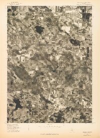 1976 Hersperia NE1976 Print · USGSThe rural landscape of Oceana County is captured in the mid-1970s through this detailed aerial survey. Researchers can trace the layout of Walkerville and examine the exact boundaries of farms and woodlots across the township.
 - 1976 Map of White Cloud NW
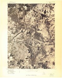 1976 White Cloud NW1976 Print · USGSCovers Beaver Township, including Walgamor Corners, Troy Township, and other nearby areas
 - 1983 Map of Ludington, 1984 Print
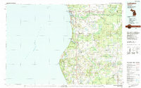 1983 Ludington1984 Print · USGSThe Michigan shoreline during the early eighties comes alive in this survey of the dunes and woodlands. Trace the Chesapeake and Ohio rail route through Ludington and Hart, or find family landmarks like Meisenheimer Corners and Wiley.
 - 1984 Map of Big Rapids
 1984 Big Rapids1984 Print · USGSMid-Michigan in the mid-eighties shows a balance of deep-woods conservation and riverfront industry centered on the Muskegon River. Genealogists and historians can trace rail-town development along the Chesapeake and Ohio or locate family sites near Idlewild, Reed City, and Forest Hill Cem.
 - 1985 Map of Walkup Lake
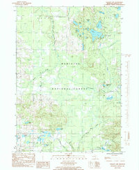 1985 Walkup Lake1985 Print · USGSNewaygo County's lake-dotted interior is captured in the mid-eighties as a quiet expanse of public timberland and glacial water. Researchers can trace the winding Big South Branch Pere Marquette River or locate remote landmarks like Walgamor Corners and Benton Lake.
 - 1985 Map of Walkerville East
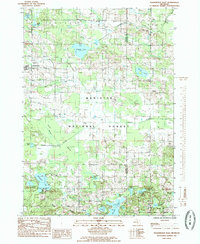 1985 Walkerville East1985 Print · USGSOceana County and Newaygo County are captured here in the mid-1980s as the Manistee National Forest encompasses the local landscape. Genealogists and hikers can trace the roads around Walkerville, locate rural cemeteries, and explore the shores of Gilbert Lake and Island Lake.
 - 1991 Map of Big Rapids
 1991 Big Rapids1991 Print · USGSWest Michigan’s river valleys and timberlands are charted here during the early nineties, centered on the Big Rapids corridor. Researchers can trace the path of the C & O RR through settlements like Reed City, Baldwin, and White Cloud.
 - 2012 Map of Walkup Lake, 2012 Print
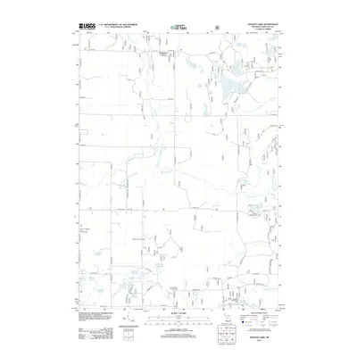 2012 Walkup Lake2012 Print · USGSNewaygo County is shown here at the start of the 2010s, defined by the winding Big S Br Pere Marquette River and a dense network of forest lakes. Researchers can locate recreation sites like Smitty's Hideaway and Campground or trace local landmarks like Walgamor Corners and the Beaver Lookout Tower.
 - 2012 Map of Walkerville East, 2012 Print
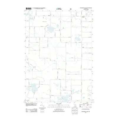 2012 Walkerville East2012 Print · USGSOceana County’s interior landscape is shown here in the early twenty-first century as a mix of active oil fields and quiet lakeside settlements. Local historians can trace family ties at Troy Cem or Volney Cem and locate industrial sites like the Gilbert Lake Oil Field.
 - 2014 Map of Walkerville East, 2014 Print
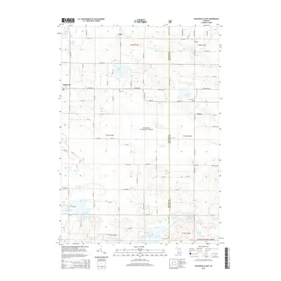 2014 Walkerville East2014 Print · USGSOceana and Newaygo counties are mapped here in the early 2010s, showing a rural landscape defined by the Manistee National Forest and glacial lakes. Family historians can locate several local burial grounds including Troy Cem, Abson Cem, and Volney Cem.
 - 2014 Map of Walkup Lake, 2014 Print
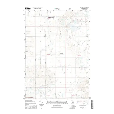 2014 Walkup Lake2014 Print · USGSNewaygo County's lake-dotted timberlands are captured here in the early twenty-first century, showing the intersection of public forest and riparian waterways. Trace the N Country National Scenic Trail past Nichols Lake or locate Walgamor Corners.
 - 2017 Map of Walkerville East, 2017 Print
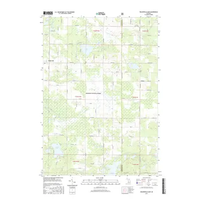 2017 Walkerville East2017 Print · USGSOceana and Newaygo counties are shown here in the late twenty-teens, dominated by the dense woodlands of the Manistee National Forest. Researchers can trace old family sites near Walkerville and Volney, or locate rural burials at Abson Cem and Troy Cem.
 - 2017 Map of Walkup Lake, 2017 Print
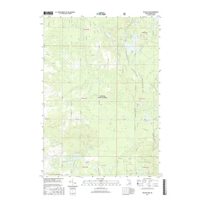 2017 Walkup Lake2017 Print · USGSNewaygo County's dense lake country is documented here during the late twenty-tens, showing the protected lands of the Manistee National Forest. Researchers can trace the N Country National Scenic Trail as it passes near Walkup Lake and Lake of the Woods.
 - 2019 Map of Walkerville East, 2019 Print
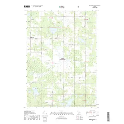 2019 Walkerville East2019 Print · USGSOceana and Newaygo Counties are shown here during the late 2010s, where the Manistee National Forest meets rural settlements. Researchers can locate family landmarks like Abson Cem and Volney Cem or trace the waters of Campbell Lake and the N Br White River.
 - 2019 Map of Walkup Lake, 2019 Print
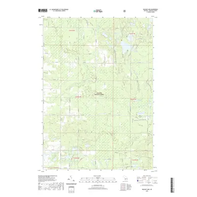 2019 Walkup Lake2019 Print · USGSNewaygo County's lake-studded woodlands are captured here during the late 2010s within the Manistee National Forest. Researchers can trace the path of the N Country National Scenic Trail as it passes Nichols Lake, Walkup Lake, and the winding Big S Br Pere Marquette River.
 - 2023 Map of Walkerville East, 2023 Print
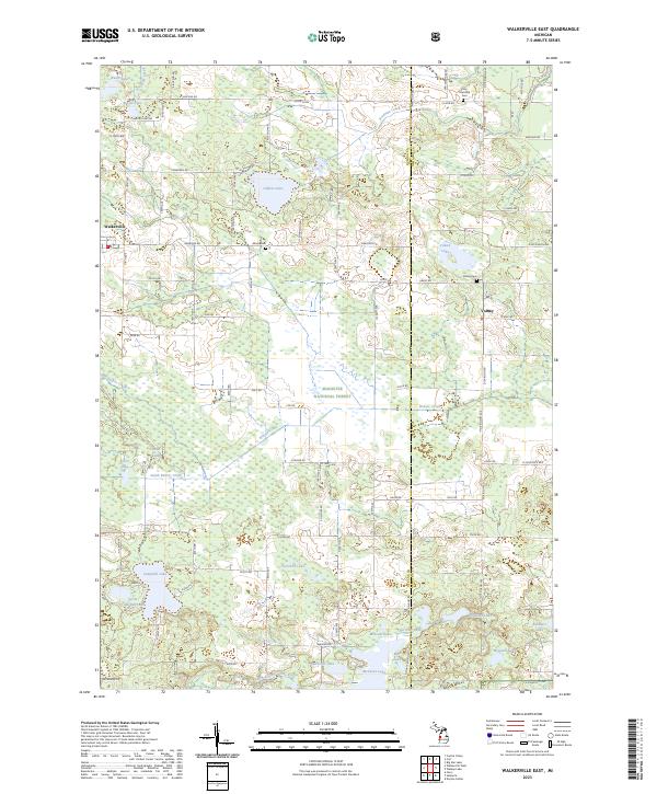 2023 Walkerville East2023 Print · USGSThe borderlands of Oceana and Newaygo counties are mapped here in the early 2020s, revealing a landscape of dense timber and quiet lakes. Family historians can locate Abson Cem, the small community of Volney, and water bodies like Gilbert Lake or Campbell Lake.
Showing maps 1-25 of 26
Top cities near Beaver Township
- Fremont historical maps
- White Cloud historical maps
- Baldwin historical maps
- Hesperia historical maps
- Lilley historical maps
- Colfax historical maps
See more
Top neighborhoods of Beaver Township
Frequently asked questions
- What are the different types of historical maps available for Beaver Township?
- What is the oldest map of Beaver Township?
- Where can I purchase historical maps of Beaver Township for my home or office?
- Where can I download high-res historical maps of Beaver Township?
- Are there historical topographic maps available for Beaver Township?
- Is there historical aerial imagery available for Beaver Township?
- Where are historical maps of Beaver Township sourced from?