1900s (20th Century) Maps of Lilley Township, Michigan
Explore 16 historic maps of Lilley Township from the 1900s (20th Century). These maps offer a rare glimpse into what life looked like during the 1900s — showing old roads, neighborhoods, homes, and landmarks that have changed or disappeared over time.
Whether you're researching your family's past, planning a metal detecting trip, or studying how Lilley Township's landscape evolved across the 1900s, these high-resolution maps are a powerful tool for exploring the history of this region.
- Focus on a specific era: All maps on this page are from the 1900s, giving you a focused view of this time period.
- See what’s changed: Compare century-old streets, trails, and buildings to today's modern landscape using overlays and satellite layers.
- Research with precision: Use these maps for genealogy, historical research, land use analysis, or educational projects.
- View, download, or print: Maps are fully viewable online in high resolution, and can be downloaded or printed for your own records.
Start exploring Lilley Township's history through authentic maps from the 1900s. This is your window into the past.
Lilley Township, MI maps
(16)- 1954 Map of Midland, 1967 Print
 1954 Midland1967 Print · USGSMid-Michigan at the peak of the post-war era shows a landscape balancing industrial growth in Midland with the deep timberlands of the Manistee National Forest. Researchers can trace the legacy of the timber and rail era along the Pennsylvania RR or find family roots in river towns like Chesaning and Big Rapids.4 unique versions available
 - 1958 Map of Midland
 1958 Midland1958 Print · USGSCentral Michigan in the late fifties is captured here during a period of transition for its university towns and industrial hubs. Genealogists and researchers can trace family lines through old rail-stop towns like Breckenridge and Chesaning or locate property near the Muskegon River and Prairie Farm.
 - 1959 Map of Midland
 1959 Midland1959 Print · USGSMid-century Michigan comes alive in this survey of the central Lower Peninsula, from the streets of Grand Rapids to the Houghton Lake timberlands. Genealogists and rail fans can trace the Ann Arbor RR and Chesapeake and Ohio RR through towns like Big Rapids and Mount Pleasant.
 - 1959 Map of Baldwin, 1960 Print
 1959 Baldwin1960 Print · USGSLake County at the end of the fifties was a landscape of dense timber and quiet lakeside settlements. Genealogists and historians can trace old homesteads near Walkers Corners, locate Oaklawn Cem, and follow the Chesapeake and Ohio Railroad through Idlewild.4 unique versions available
 - 1959 Map of White Cloud, 1960 Print
 1959 White Cloud1960 Print · USGSNewaygo County in the late fifties is a landscape of glacial lakes and dense timber, anchored by the rail hub of White Cloud. Genealogists can trace rural family life through landmarks like Donahue Sch, East Denver Ch, and the isolated community of Woodland Park.3 unique versions available
 - 1966 Map of Midland
 1966 Midland1966 Print · USGSCentral Michigan in the mid-1960s shows a landscape of growing manufacturing hubs and active resource extraction. Genealogists and historians can trace the rail corridors of the Grand Trunk Western or locate family-named landmarks near Oil wells and the Muskegon River.
 - 1976 Map of Baldwin SE
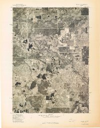 1976 Baldwin SE1976 Print · USGSNewaygo County's woodland and water systems are seen in detail through this mid-seventies aerial survey of the Michigan landscape. Researchers can trace the path of the Pere Marquette River and the settlement patterns surrounding Marlborough.
 - 1976 Map of White Cloud NE
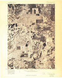 1976 White Cloud NE1976 Print · USGSNewaygo County is captured during the mid-seventies in this detailed aerial survey of the West Michigan landscape. Researchers can examine the actual ground cover and settlement patterns surrounding Brohman and Woodland Park as they appeared in 1976.
 - 1976 Map of White Cloud NW
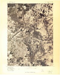 1976 White Cloud NW1976 Print · USGSCovers Lilley Township, including Walgamor Corners, Beaver Township, and other nearby areas
 - 1976 Map of Baldwin SW
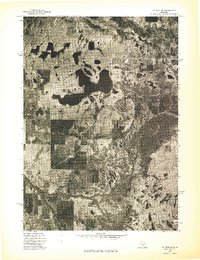 1976 Baldwin SW1976 Print · USGSMid-seventies Lake County comes into focus in this detailed orthophoto showing the transition between dense northern woodlands and developed lakefronts. Researchers can trace the complex shoreline of Big Star Lake and the winding course of the Pere Marquette River.
 - 1984 Map of Big Rapids
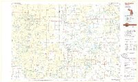 1984 Big Rapids1984 Print · USGSMid-Michigan in the mid-eighties shows a balance of deep-woods conservation and riverfront industry centered on the Muskegon River. Genealogists and historians can trace rail-town development along the Chesapeake and Ohio or locate family sites near Idlewild, Reed City, and Forest Hill Cem.
 - 1985 Map of Walkup Lake
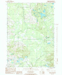 1985 Walkup Lake1985 Print · USGSNewaygo County's lake-dotted interior is captured in the mid-eighties as a quiet expanse of public timberland and glacial water. Researchers can trace the winding Big South Branch Pere Marquette River or locate remote landmarks like Walgamor Corners and Benton Lake.
 - 1985 Map of Woodland Park
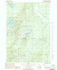 1985 Woodland Park1985 Print · USGSNewaygo County is shown in the mid-1980s as a land of quiet forest settlements and dense lake clusters. Researchers can trace the layout of Woodland Park, Bitely, and Brohman or locate numerous water bodies like Loda Lake and Woodland Lake.2 unique versions available
 - 1987 Map of Big Star Lake
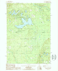 1987 Big Star Lake1987 Print · USGSThe Lake County and Newaygo County borderlands in the 1980s show a landscape shaped by glacial waters and forestry. Local historians can trace the Old RR Grade and explore the developing seasonal communities at Pine Grove Beach and Walkers Corners.
 - 1987 Map of Marlborough
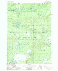 1987 Marlborough1987 Print · USGSThe Lake and Newaygo County borderlands are shown here in the late eighties, an era defined by glacial lakes and timberlands. Researchers can trace the Old RR Grade and locate local landmarks like the Drive-In Theater and Pettibone Lake.
 - 1991 Map of Big Rapids
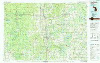 1991 Big Rapids1991 Print · USGSWest Michigan’s river valleys and timberlands are charted here during the early nineties, centered on the Big Rapids corridor. Researchers can trace the path of the C & O RR through settlements like Reed City, Baldwin, and White Cloud.
End of results
Showing maps 1-16 of 16
Top cities near Lilley Township
- White Cloud historical maps
- Chase historical maps
- Baldwin historical maps
- Hesperia historical maps
- Lilley historical maps
- Colfax historical maps
See more
Top neighborhoods of Lilley Township
Frequently asked questions
- What are the different types of historical maps available for Lilley Township?
- What is the oldest map of Lilley Township?
- Where can I purchase historical maps of Lilley Township for my home or office?
- Where can I download high-res historical maps of Lilley Township?
- Are there historical topographic maps available for Lilley Township?
- Is there historical aerial imagery available for Lilley Township?
- Where are historical maps of Lilley Township sourced from?