Old Maps of Lincoln Township, Michigan for Hiking & Exploration
Hike through history with 35 historic maps of Lincoln Township. Explore old trails, ghost towns, and forgotten backroads — perfect for outdoor adventurers and local explorers.
- Rediscover forgotten places: Map out old mining camps, roads, and footpaths that no longer exist on modern maps.
- Layer with modern tools: Combine with LiDAR or satellite views to plan hikes through historical terrain.
- Made for exploration: Popular among hikers, overlanders, and local history lovers.
Use these maps to find adventure and explore the hidden past of Lincoln Township.
Lincoln Township, MI maps
(35)- 1954 Map of Midland, 1967 Print
 1954 Midland1967 Print · USGSMid-Michigan at the peak of the post-war era shows a landscape balancing industrial growth in Midland with the deep timberlands of the Manistee National Forest. Researchers can trace the legacy of the timber and rail era along the Pennsylvania RR or find family roots in river towns like Chesaning and Big Rapids.4 unique versions available
 - 1958 Map of Midland
 1958 Midland1958 Print · USGSCentral Michigan in the late fifties is captured here during a period of transition for its university towns and industrial hubs. Genealogists and researchers can trace family lines through old rail-stop towns like Breckenridge and Chesaning or locate property near the Muskegon River and Prairie Farm.
 - 1959 Map of Midland
 1959 Midland1959 Print · USGSMid-century Michigan comes alive in this survey of the central Lower Peninsula, from the streets of Grand Rapids to the Houghton Lake timberlands. Genealogists and rail fans can trace the Ann Arbor RR and Chesapeake and Ohio RR through towns like Big Rapids and Mount Pleasant.
 - 1959 Map of White Cloud, 1960 Print
 1959 White Cloud1960 Print · USGSNewaygo County in the late fifties is a landscape of glacial lakes and dense timber, anchored by the rail hub of White Cloud. Genealogists can trace rural family life through landmarks like Donahue Sch, East Denver Ch, and the isolated community of Woodland Park.3 unique versions available
 - 1966 Map of Midland
 1966 Midland1966 Print · USGSCentral Michigan in the mid-1960s shows a landscape of growing manufacturing hubs and active resource extraction. Genealogists and historians can trace the rail corridors of the Grand Trunk Western or locate family-named landmarks near Oil wells and the Muskegon River.
 - 1976 Map of White Cloud SW
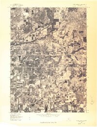 1976 White Cloud SW1976 Print · USGSNewaygo County is captured during the mid-seventies in this detailed aerial perspective of the rural Michigan landscape. Researchers can trace the exact footprint of the settlement at Aetna and study the intricate winding path of the local river system.
 - 1976 Map of White Cloud SE
 1976 White Cloud SE1976 Print · USGSWhite Cloud and the surrounding Newaygo County landscape are captured in this mid-seventies aerial survey. Researchers can trace the development of White Cloud and the smaller cluster at Jugville amidst a dense network of lakes and forest.
 - 1976 Map of White Cloud NE
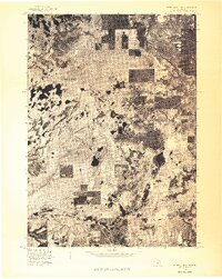 1976 White Cloud NE1976 Print · USGSNewaygo County is captured during the mid-seventies in this detailed aerial survey of the West Michigan landscape. Researchers can examine the actual ground cover and settlement patterns surrounding Brohman and Woodland Park as they appeared in 1976.
 - 1976 Map of White Cloud NW
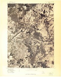 1976 White Cloud NW1976 Print · USGSCovers Lincoln Township, including Walgamor Corners, Beaver Township, and other nearby areas
 - 1984 Map of Big Rapids
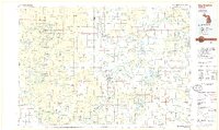 1984 Big Rapids1984 Print · USGSMid-Michigan in the mid-eighties shows a balance of deep-woods conservation and riverfront industry centered on the Muskegon River. Genealogists and historians can trace rail-town development along the Chesapeake and Ohio or locate family sites near Idlewild, Reed City, and Forest Hill Cem.
 - 1985 Map of Walkup Lake
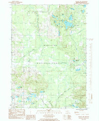 1985 Walkup Lake1985 Print · USGSNewaygo County's lake-dotted interior is captured in the mid-eighties as a quiet expanse of public timberland and glacial water. Researchers can trace the winding Big South Branch Pere Marquette River or locate remote landmarks like Walgamor Corners and Benton Lake.
 - 1985 Map of Dayton Center
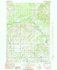 1985 Dayton Center1985 Print · USGSNewaygo County's wooded interiors and glacial lake districts are captured here during the mid-eighties. Genealogists and local historians can trace the rural crossroads of Aetna and Dayton Center or follow the route of the Chesapeake and Ohio Railroad.
 - 1985 Map of Woodland Park
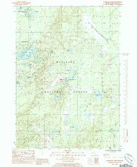 1985 Woodland Park1985 Print · USGSNewaygo County is shown in the mid-1980s as a land of quiet forest settlements and dense lake clusters. Researchers can trace the layout of Woodland Park, Bitely, and Brohman or locate numerous water bodies like Loda Lake and Woodland Lake.2 unique versions available
 - 1985 Map of White Cloud
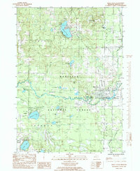 1985 White Cloud1985 Print · USGSNewaygo County's lake-country landscape is captured here in the mid-eighties, centered on the White River and the city of White Cloud. Researchers can trace the path of the Old RR Grade or locate family sites near Jugville and Wooster.
 - 1991 Map of Big Rapids
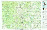 1991 Big Rapids1991 Print · USGSWest Michigan’s river valleys and timberlands are charted here during the early nineties, centered on the Big Rapids corridor. Researchers can trace the path of the C & O RR through settlements like Reed City, Baldwin, and White Cloud.
 - 2012 Map of Walkup Lake, 2012 Print
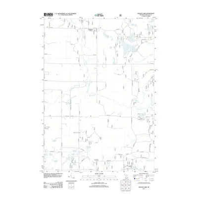 2012 Walkup Lake2012 Print · USGSNewaygo County is shown here at the start of the 2010s, defined by the winding Big S Br Pere Marquette River and a dense network of forest lakes. Researchers can locate recreation sites like Smitty's Hideaway and Campground or trace local landmarks like Walgamor Corners and the Beaver Lookout Tower.
 - 2012 Map of Dayton Center, 2012 Print
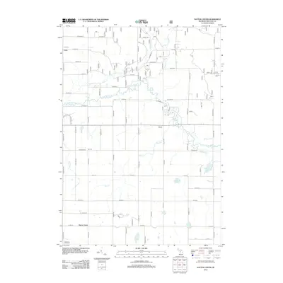 2012 Dayton Center2012 Print · USGSDenver Township and its surroundings are captured here during the early twenty-first century, showing a landscape of small crossroads and winding river valleys. Genealogists can trace family names and sites like Huber Cem, Bull Cem, and the settlement at Aetna.
 - 2012 Map of Woodland Park, 2012 Print
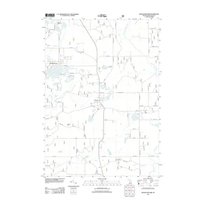 2012 Woodland Park2012 Print · USGSThe lake country of Newaygo County is documented here during the early twenty-first century, showing the established communities of Bitely and Woodland Park. Researchers can locate several burial sites including Hillers Cem and Merrill Township Cem, or trace the course of the S Br White River.
 - 2012 Map of White Cloud, 2012 Print
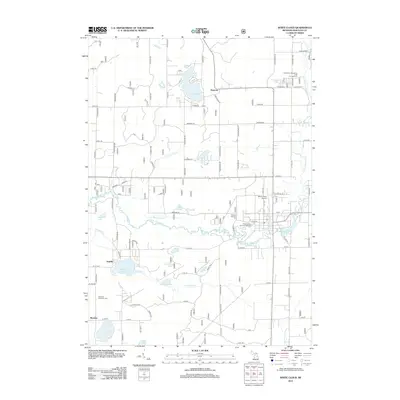 2012 White Cloud2012 Print · USGSWhite Cloud and Newaygo County are shown here during the early 2010s, centered on the river and its many tributary lakes. Researchers can trace local burial sites at Prospect Hill Cem and find smaller outposts like Ramona, Jugville, and Lynn.
 - 2014 Map of White Cloud, 2014 Print
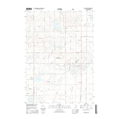 2014 White Cloud2014 Print · USGSNewaygo County's forested lake country is documented here in the early 2010s as it remains a hub for recreation and rural life. Researchers can locate family sites near Ramona, Jugville, and Wooster, or trace the winding N Country National Scenic Trail.
 - 2014 Map of Woodland Park, 2014 Print
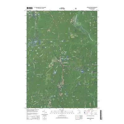 2014 Woodland Park2014 Print · USGSNewaygo County is shown in detail during the early 2010s, characterized by the dense woods and numerous glacial lakes of the Manistee National Forest. Genealogists and hikers can trace the N Country National Scenic Trail or locate family sites at Merrill Township Cem and Hillers Cem.
 - 2014 Map of Dayton Center, 2014 Print
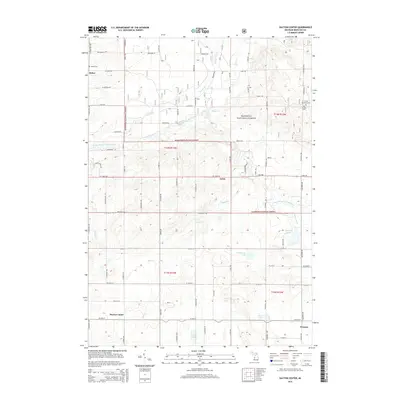 2014 Dayton Center2014 Print · USGSNewaygo County in the early 2010s shows a landscape of deep woods and scattered rural settlements within the Manistee National Forest. Genealogists and local historians can trace family locations near Dayton Center, Huber Cem, and Aetna.
 - 2014 Map of Walkup Lake, 2014 Print
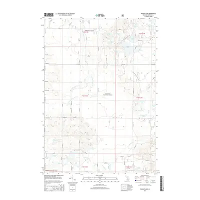 2014 Walkup Lake2014 Print · USGSNewaygo County's lake-dotted timberlands are captured here in the early twenty-first century, showing the intersection of public forest and riparian waterways. Trace the N Country National Scenic Trail past Nichols Lake or locate Walgamor Corners.
 - 2017 Map of Dayton Center, 2017 Print
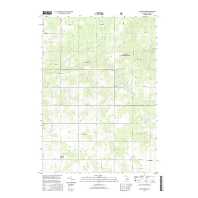 2017 Dayton Center2017 Print · USGSNewaygo County's rural townships are shown in this recent survey, where the South Branch White River flows through the Manistee National Forest. Researchers can locate historic burial sites like Lincoln Township Cem and trace small-town roots in Dayton Center or Aetna.
 - 2017 Map of Woodland Park, 2017 Print
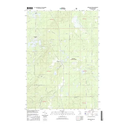 2017 Woodland Park2017 Print · USGSNewaygo County's lake-strewn forest lands are captured here during the mid-2010s, showing the intersection of recreation and small-town life. Researchers can trace local roots at Saint Josephs Catholic Cem or explore the geography of Woodland Park, Bitely, and Loda Lake.
Showing maps 1-25 of 35
Top cities near Lincoln Township
- Fremont historical maps
- Croton historical maps
- Holton historical maps
- Big Prairie historical maps
- Newaygo historical maps
- White Cloud historical maps
See more
Top neighborhoods of Lincoln Township
Frequently asked questions
- What are the different types of historical maps available for Lincoln Township?
- What is the oldest map of Lincoln Township?
- Where can I purchase historical maps of Lincoln Township for my home or office?
- Where can I download high-res historical maps of Lincoln Township?
- Are there historical topographic maps available for Lincoln Township?
- Is there historical aerial imagery available for Lincoln Township?
- Where are historical maps of Lincoln Township sourced from?