Old Maps of Farmington Historic District, Farmington
Explore 25 old maps of Farmington Historic District, spanning from 1905 to today. These high-resolution historic maps reveal how streets, neighborhoods, landmarks, and natural features evolved over time — perfect for genealogy, metal detecting, research, and local history exploration.
What you can do with these maps:
- See how Farmington Historic District changed over time: Compare historical maps to modern-day views to trace roads, homesites, rail lines & more.
- View detailed metadata: Each map includes creators, publishers, year, scale, and archive source.
- Overlay maps with satellite & LiDAR: Visualize the past alongside modern tools to explore terrain & human change.
- Trusted historical sources: Maps sourced from the USGS, Library of Congress, and other archives.
- Access maps your way: View online, download high-res files, or order prints for personal or research use.
Start exploring old maps of Farmington Historic District to uncover forgotten places, hidden landmarks, and the deep history beneath your feet.
Farmington Historic District, Farmington maps
(25)- 1905 Map of Wayne
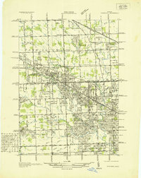
 1905 Wayne1905 Print · USGSWestern Wayne and southern Oakland counties are seen here at a pivotal moment when electric interurban railways first linked rural townships. Genealogists can trace family footprints in Northville, Plymouth, and Farmington, or locate vanished landmarks like Perrinville and the Wayne County Home.4 unique versions available
 - 1912 Map of Wayne
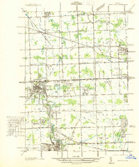
 1912 Wayne1912 Print · USGSWestern Wayne County in the early twentieth century shows a landscape being reshaped by the first concrete roads and a dense network of electric interurban railways. Trace the early development of Livonia, Redford, and Plymouth, or locate long-standing sites like Eloise and Perrinville.
 - 1936 Map of Redford
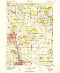
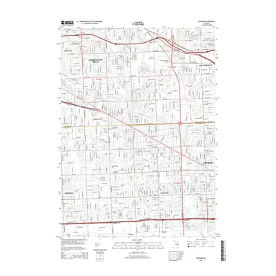
 1936 Redford1936 Print · USGSNorthwestern Detroit suburbs emerge from farm tracts during the mid-1930s, showing early neighborhoods and grid-road expansion. Genealogists can find numerous burial grounds like Grand Lawn Cem and landmarks such as Bell Br Community Ch and the Redford Post Office.
 - 1936 Map of Northville
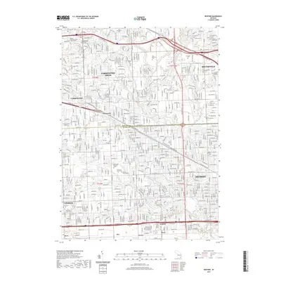
 1936 Northville1936 Print · USGSNorthwest Wayne and southwest Oakland counties are captured here in the mid-1930s as the grid of mile roads and institutions matured. Researchers can trace family history at Rural Hill Cem or explore early landmarks like the US Fish Hatchery and Wayne County Training Sch.
 - 1942 Map of Redford
 1942 Redford1942 Print · USGSNorthwest of Detroit during the early war years, this survey captures the transition from township farmsteads to suburban hubs. Trace family roots and local landmarks through sites like the Redford PO, Burns Airport, and Grand Lawn Cem.2 unique versions available
 - 1945 Map of Northville
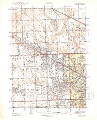
 1945 Northville1945 Print · USGSThe border of Wayne and Oakland counties in the mid-1940s reveals a landscape of expanding townships and established institutions. Genealogists and historians can trace family locations near Glen Eden Cem, Waterford Sch, and the Pere Marquette rail line.2 unique versions available
 - 1952 Map of Northville, 1954 Print
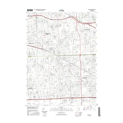
 1952 Northville1954 Print · USGSThe settlement of Novi is shown at a pivotal moment in the early fifties before the rapid growth of the Detroit suburbs. Genealogists and local historians can trace the historical layout and early road systems centered around Novi.2 unique versions available
 - 1952 Map of Redford, 1954 Print
 1952 Redford1954 Print · USGSNorthwest of Detroit in the early fifties, the landscape was quickly transforming from rural townships into a dense suburban grid. Genealogists and historians can trace family plots and school districts at Holy Sepulchre Cemetery, St Agatha Sch, and the Boys Republic campus.2 unique versions available
 - 1954 Map of Detroit
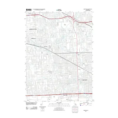
 1954 Detroit1954 Print · USGSThe Detroit metro and its Ontario neighbors are shown at the height of the mid-century industrial era, just as the suburbs were rapidly expanding. Researchers can trace the massive rail networks of the Wabash Railroad or locate landmarks like Grosse Ile and Selfridge Air Force Base.
 - 1961 Map of Detroit, 1973 Print
 1961 Detroit1973 Print · USGSThe international border between Michigan and Ontario was a bustling industrial corridor in the early sixties. Researchers can trace the transit networks and riverfront infrastructure connecting Detroit to Windsor via the Detroit-Windsor Tunnel and major air hubs like Willow Run Airport.2 unique versions available
 - 1965 Map of Detroit
 1965 Detroit1965 Print · USGSThe industrial corridor between Michigan and Ontario is captured here at mid-century, showing the dense rail and river networks of the Great Lakes. Local historians can trace the paths of the Grand Trunk Western RR and locate key landmarks like Selfridge Air Force Base and Grosse Ile.
 - 1968 Map of Redford, 1971 Print
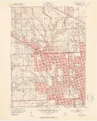
 1968 Redford1971 Print · USGSRedford and northwest Detroit emerge in their mid-century form as the suburban grid solidifies along the county line. Genealogists can trace family sites near Holy Sepulchre Cemetery, Clarenceville Cem, and numerous parish schools like St Paul Sch.4 unique versions available
 - 1969 Map of Northville, 1971 Print
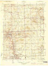
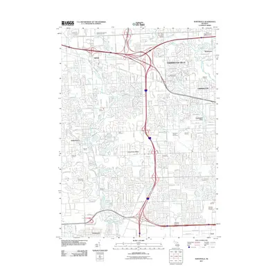
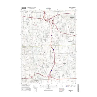
 1969 Northville1971 Print · USGSThe Northville and Farmington area is captured here at a moment of intense postwar expansion and institutional development. Genealogists and researchers can trace the grounds of the Northville State Hospital, find family plots in Quaker Cem, and locate long-standing landmarks like Northville Downs.4 unique versions available
 - 1985 Map of Detroit
 1985 Detroit1985 Print · USGSSoutheast Michigan in the mid-eighties shows a landscape defined by industrial power and suburban reach from the Detroit River to the Huron Valley. Researchers can trace the rail lines of the Conrail, explore the grounds of the University of Michigan, and locate numerous sites like Mt Olivet Cem.
 - 1989 Map of Detroit, 1991 Print
 1989 Detroit1991 Print · USGSSoutheast Michigan and across the river into Ontario reached a point of peak metropolitan density at the end of the 1980s. Local researchers can trace the footprint of the University of Michigan campus, the industrial waterfronts of Wyandotte, and the extensive grounds of Glen Eden Cem.
 - 2011 Map of Redford, 2011 Print
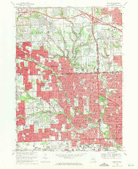
 2011 Redford2011 Print · USGSCovers Farmington Historic District, including Detroit, Livonia, and other nearby areas
 - 2011 Map of Northville, 2011 Print
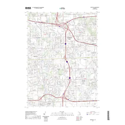
 2011 Northville2011 Print · USGSCovers Farmington Historic District, including Livonia, Farmington Hills, and other nearby areas
 - 2014 Map of Northville, 2014 Print
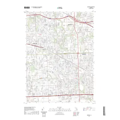
 2014 Northville2014 Print · USGSCovers Farmington Historic District, including Livonia, Farmington Hills, and other nearby areas
 - 2014 Map of Redford, 2014 Print
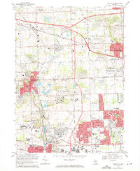
 2014 Redford2014 Print · USGSCovers Farmington Historic District, including Detroit, Livonia, and other nearby areas
 - 2017 Map of Redford, 2017 Print
 2017 Redford2017 Print · USGSCovers Farmington Historic District, including Detroit, Livonia, and other nearby areas
 - 2017 Map of Northville, 2017 Print
 2017 Northville2017 Print · USGSCovers Farmington Historic District, including Livonia, Farmington Hills, and other nearby areas
 - 2019 Map of Northville, 2019 Print
 2019 Northville2019 Print · USGSCovers Farmington Historic District, including Livonia, Farmington Hills, and other nearby areas
 - 2019 Map of Redford, 2019 Print
 2019 Redford2019 Print · USGSCovers Farmington Historic District, including Detroit, Livonia, and other nearby areas
 - 2023 Map of Northville, 2023 Print
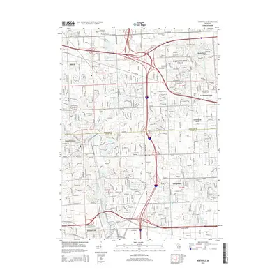
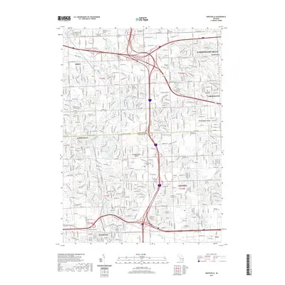
 2023 Northville2023 Print · USGSNorthville and Novi are shown here in the 2020s, highlighting the dense residential and educational corridor between Oakland and Wayne counties. Researchers can locate numerous local landmarks like Rural Hill Cem, Quaker Cem, and Schoolcraft College.
 - 2023 Map of Redford, 2023 Print
 2023 Redford2023 Print · USGSThe northwestern Detroit suburbs are meticulously detailed in this recent survey of the border between Oakland and Wayne counties. Researchers can trace the layout of historic communities like Clarenceville and Redford, along with local landmarks such as Holy Sepulchre Cem and the Specs Howard School of Media Arts.
End of results
Showing maps 1-25 of 25
Frequently asked questions
- What are the different types of historical maps available for Farmington Historic District?
- What is the oldest map of Farmington Historic District?
- Where can I purchase historical maps of Farmington Historic District for my home or office?
- Where can I download high-res historical maps of Farmington Historic District?
- Are there historical topographic maps available for Farmington Historic District?
- Is there historical aerial imagery available for Farmington Historic District?
- Where are historical maps of Farmington Historic District sourced from?