Old Maps of Ferndale, Michigan for Hiking & Exploration
Hike through history with 28 historic maps of Ferndale. Explore old trails, ghost towns, and forgotten backroads — perfect for outdoor adventurers and local explorers.
- Rediscover forgotten places: Map out old mining camps, roads, and footpaths that no longer exist on modern maps.
- Layer with modern tools: Combine with LiDAR or satellite views to plan hikes through historical terrain.
- Made for exploration: Popular among hikers, overlanders, and local history lovers.
Use these maps to find adventure and explore the hidden past of Ferndale.
Ferndale, MI maps
(28)- 1905 Map of Detroit
 1905 Detroit1905 Print · USGSDetroit and its surrounding townships are shown at a pivotal moment of expansion during the early 1900s. Genealogists and historians can trace the development of early suburbs like Highland Park and Royal Oak along major transit arteries like Grand River Ave. and the numerous electric railways.2 unique versions available
 - 1918 Map of Detroit
 1918 Detroit1918 Print · USGSDetroit and its surrounding townships appear at the height of the early industrial era, captured just after the close of the Great War. Local researchers can trace the growth of the Ford Motor Co. empire near Navarre P.O. and explore the historic rail corridors of Hamtramck and Royal Oak.
 - 1924 Map of Detroit
 1924 Detroit1924 Print · USGSDetroit and its industrial satellites thrive during the peak of the automotive era. Genealogists and historians can trace the early factory footprints of Dodge Bros. or locate old neighborhood landmarks like Navarre P. O. and Mt. Olivet Cemetery.
 - 1934 Map of Detroit
 1934 Detroit1934 Print · USGSThe Detroit riverfront and its rising industrial suburbs are captured here during the peak of the automotive boom. Genealogists and historians can trace the early footprints of the Ford Motor Co and local landmarks like Olivet Cemetery or the State Fair Grounds.
 - 1936 Map of Highland Park
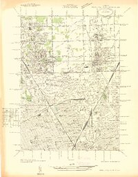 1936 Highland Park1936 Print · USGSGreater Detroit and the enclaves of Highland Park and Hamtramck are captured here in the mid-1930s as urban growth pushes north. Researchers can pinpoint early neighborhoods, local schools like Henry Ford Sch, and the grounds of the Michigan State Fair.
 - 1936 Map of Royal Oak
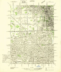 1936 Royal Oak1936 Print · USGSOakland County was rapidly developing north of Detroit during the mid-1930s, as residential grids expanded over former farmland. Genealogists can locate family homes near Southfield Ch or trace the early layout of Lathrup and Huntington Woods.
 - 1940 Map of Highland Park
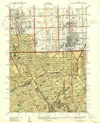 1940 Highland Park1940 Print · USGSGreater Detroit was expanding rapidly just before the war, as residential grids replaced the agricultural lands of southern Macomb and Oakland Counties. Genealogists and historians can locate family landmarks like the Michigan State Fair Grounds and St Clements Cem.2 unique versions available
 - 1941 Map of Royal Oak
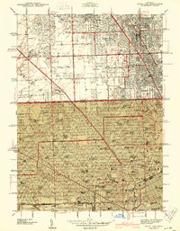 1941 Royal Oak1941 Print · USGSThe Detroit and Oakland County borderlands come into sharp focus in the late thirties as suburban neighborhoods began to fill the grid. Genealogists and local researchers can trace early residential blocks, parish schools like Gesu Sch, and prominent landmarks including the Detroit Zoological Park and Oakview Cem.2 unique versions available
 - 1952 Map of Royal Oak, 1954 Print
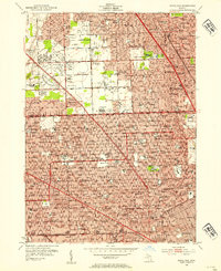 1952 Royal Oak1954 Print · USGSNorth of Detroit in the early fifties, the post-war suburban boom is in full swing across Oakland County. Genealogists and local historians can trace family locations near Oakview Cemetery, Detroit Zoological Park, and dozens of neighborhood schools.2 unique versions available
 - 1952 Map of Highland Park, 1954 Print
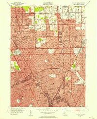 1952 Highland Park1954 Print · USGSMid-century Detroit and its northern enclave cities show a bustling urban landscape at the height of the industrial era. Trace neighborhood roots across Highland Park and Hamtramck using landmarks like Evergreen Cemetery and the City Airport.2 unique versions available
 - 1954 Map of Detroit
 1954 Detroit1954 Print · USGSThe Detroit metro and its Ontario neighbors are shown at the height of the mid-century industrial era, just as the suburbs were rapidly expanding. Researchers can trace the massive rail networks of the Wabash Railroad or locate landmarks like Grosse Ile and Selfridge Air Force Base.
 - 1961 Map of Detroit, 1973 Print
 1961 Detroit1973 Print · USGSThe international border between Michigan and Ontario was a bustling industrial corridor in the early sixties. Researchers can trace the transit networks and riverfront infrastructure connecting Detroit to Windsor via the Detroit-Windsor Tunnel and major air hubs like Willow Run Airport.2 unique versions available
 - 1965 Map of Detroit
 1965 Detroit1965 Print · USGSThe industrial corridor between Michigan and Ontario is captured here at mid-century, showing the dense rail and river networks of the Great Lakes. Local historians can trace the paths of the Grand Trunk Western RR and locate key landmarks like Selfridge Air Force Base and Grosse Ile.
 - 1968 Map of Royal Oak, 1971 Print
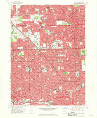 1968 Royal Oak1971 Print · USGSDetroit and its northern suburbs reached a peak of mid-century development as seen in this late-sixties survey. Researchers can trace the growth of Oak Park and Ferndale or locate family landmarks like Woodlawn Cemetery and St Gerard Sch.4 unique versions available
 - 1968 Map of Highland Park, 1971 Print
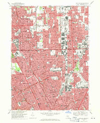 1968 Highland Park1971 Print · USGSThe northern Detroit metropolitan area is shown here in its mid-century maturity, featuring the densely packed street grids of industrial enclaves. Genealogists can trace family neighborhoods near Mt Olivet Cem, St Florian High Sch, or along the Grand Trunk Western RR.4 unique versions available
 - 1985 Map of Detroit
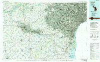 1985 Detroit1985 Print · USGSSoutheast Michigan in the mid-eighties shows a landscape defined by industrial power and suburban reach from the Detroit River to the Huron Valley. Researchers can trace the rail lines of the Conrail, explore the grounds of the University of Michigan, and locate numerous sites like Mt Olivet Cem.
 - 1989 Map of Detroit, 1991 Print
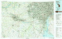 1989 Detroit1991 Print · USGSSoutheast Michigan and across the river into Ontario reached a point of peak metropolitan density at the end of the 1980s. Local researchers can trace the footprint of the University of Michigan campus, the industrial waterfronts of Wyandotte, and the extensive grounds of Glen Eden Cem.
 - 1996 Map of Royal Oak, 2000 Print
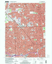 1996 Royal Oak2000 Print · USGSThe northern Detroit suburbs and the Oakland County line come into focus during the late twentieth century. Genealogists and local historians can trace parish landmarks like St Mary of Redford High Sch or major sites like Woodlawn Cemetery and Northland Shopping Center.
 - 2011 Map of Highland Park, 2011 Print
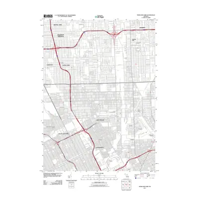 2011 Highland Park2011 Print · USGSDetroit and its northern suburbs are shown here in the era of modern urban revitalization. Genealogists and historians can trace the vast burial grounds of Mount Olivet Cemetery or locate the Hamtramck Post Office and Detroit City Airport.
 - 2011 Map of Royal Oak, 2011 Print
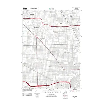 2011 Royal Oak2011 Print · USGSThe northern reaches of the Detroit metropolitan area are shown at a high level of detail during a period of suburban maturity. Local historians can trace established neighborhoods and find landmarks like Machpelah Cemetery, the University of Detroit, and Lathrup Village.
 - 2014 Map of Highland Park, 2014 Print
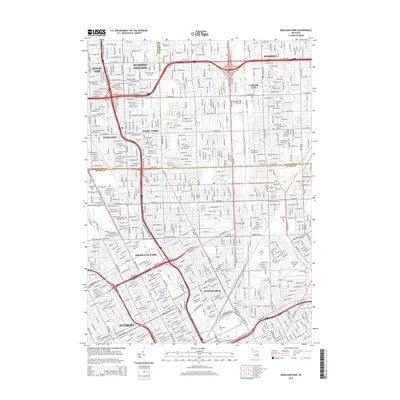 2014 Highland Park2014 Print · USGSGreater Detroit and its northern suburbs are shown here in the mid-2010s, revealing the dense municipal boundaries of Highland Park and Hamtramck. Researchers can trace urban land use across dozens of cemeteries like Woodlawn Cem or find landmarks like the Detroit City Airport.
 - 2014 Map of Royal Oak, 2014 Print
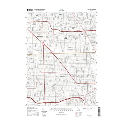 2014 Royal Oak2014 Print · USGSDetroit and its northern neighbors appear in high detail during a period of modern urban density. Researchers can pinpoint long-standing institutions like Marygrove Coll or trace family sites at Woodlawn Cem and Machpelah Cem.
 - 2017 Map of Royal Oak, 2017 Print
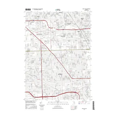 2017 Royal Oak2017 Print · USGSThe northern Detroit suburbs and the Wayne County line come into sharp focus in this recent survey. Local historians can trace the campuses of Univ of Detroit Mercy and Marygrove Coll or locate family plots at Woodlawn Cem and Machpelah Cem.
 - 2017 Map of Highland Park, 2017 Print
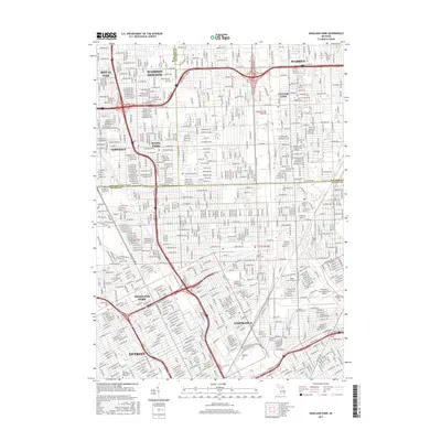 2017 Highland Park2017 Print · USGSThe industrial and residential heart of the Detroit metro area is captured here during its modern era, spanning several major municipal boundaries. Genealogists and local historians can trace legacy landmarks like Mount Olivet Cem, Sacred Heart Major Seminary, and the GTW RR rail lines.
 - 2019 Map of Highland Park, 2019 Print
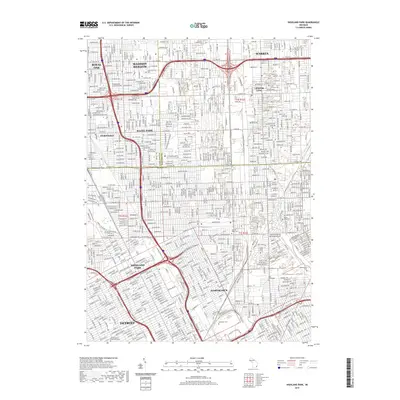 2019 Highland Park2019 Print · USGSGreater Detroit at the end of the 2010s reveals a high-density urban landscape shaped by industry and diverse municipal borders. Genealogists and local historians can trace legacy sites like Forest Lawn Cemetery or the massive Cadillac Assembly Plant.
Showing maps 1-25 of 28
Top cities near Ferndale
- Detroit historical maps
- Sterling Heights historical maps
- Warren historical maps
- Clinton Township historical maps
- Livonia historical maps
- Dearborn historical maps
See more
Frequently asked questions
- What are the different types of historical maps available for Ferndale?
- What is the oldest map of Ferndale?
- Where can I purchase historical maps of Ferndale for my home or office?
- Where can I download high-res historical maps of Ferndale?
- Are there historical topographic maps available for Ferndale?
- Is there historical aerial imagery available for Ferndale?
- Where are historical maps of Ferndale sourced from?