2000s (21st Century) Maps of Oceana County, Michigan
Explore 90 historic maps of Oceana County from the 2000s (21st Century). These maps offer a rare glimpse into what life looked like during the 2000s — showing old roads, neighborhoods, homes, and landmarks that have changed or disappeared over time.
Whether you're researching your family's past, planning a metal detecting trip, or studying how Oceana County's landscape evolved across the 2000s, these high-resolution maps are a powerful tool for exploring the history of this region.
- Focus on a specific era: All maps on this page are from the 2000s, giving you a focused view of this time period.
- See what’s changed: Compare century-old streets, trails, and buildings to today's modern landscape using overlays and satellite layers.
- Research with precision: Use these maps for genealogy, historical research, land use analysis, or educational projects.
- View, download, or print: Maps are fully viewable online in high resolution, and can be downloaded or printed for your own records.
Start exploring Oceana County's history through authentic maps from the 2000s. This is your window into the past.
Oceana County, MI maps
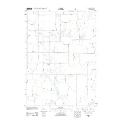
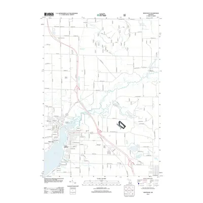
(90)- 2011 Map of Hart, 2011 Print
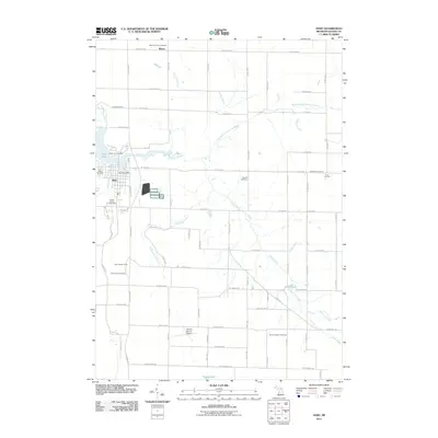 2011 Hart2011 Print · USGSCovers Oceana County, including Hart, Shelby, and other nearby areas
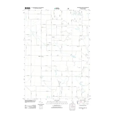
 - 2011 Map of Bigsbie Lake, 2011 Print
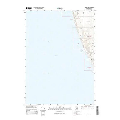
 2011 Bigsbie Lake2011 Print · USGSCovers Oceana County, including Stony Lake, Benona Township, and other nearby areas
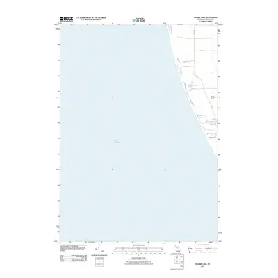
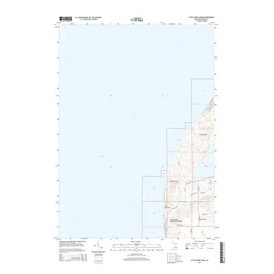
 - 2011 Map of Little Point Sable, 2011 Print
 2011 Little Point Sable2011 Print · USGSCovers Oceana County, including Little Point Sable, Benona Township, and other nearby areas
 - 2011 Map of Flower Creek, 2011 Print
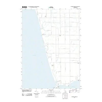 2011 Flower Creek2011 Print · USGSCovers Oceana County, including Montague, White River Township, and other nearby areas
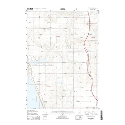
 - 2011 Map of Town Corners, 2011 Print
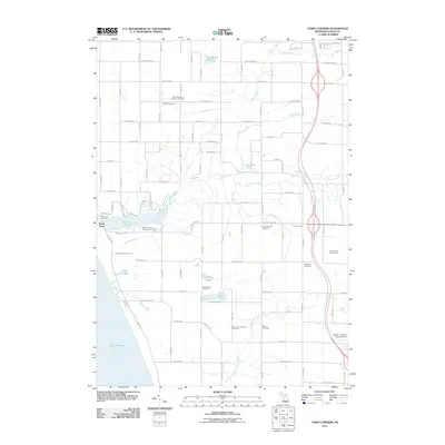 2011 Town Corners2011 Print · USGSCovers Oceana County, including Shelby, Shelby Township, and other nearby areas
 - 2011 Map of Mears, 2011 Print
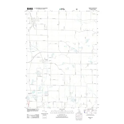
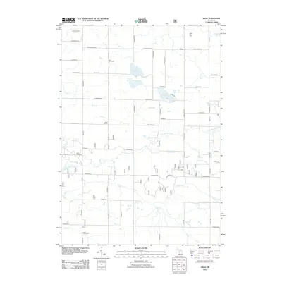
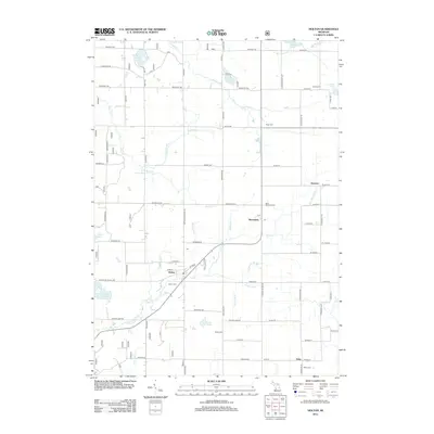
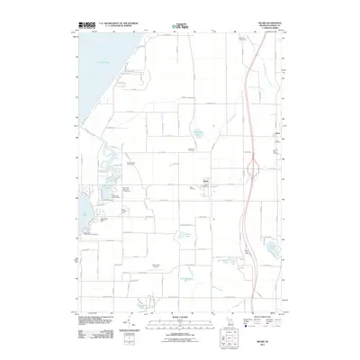 2011 Mears2011 Print · USGSCovers Oceana County, including Hart, Shelby, and other nearby areas
 - 2012 Map of Pentwater, 2012 Print
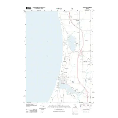 2012 Pentwater2012 Print · USGSCovers Oceana County, including Pentwater, Weare Township, and other nearby areas
 - 2012 Map of Hesperia, 2012 Print
 2012 Hesperia2012 Print · USGSCovers Oceana County, including Hesperia, Newfield Township, and other nearby areas
 - 2012 Map of Big Blue Lake, 2012 Print
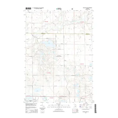
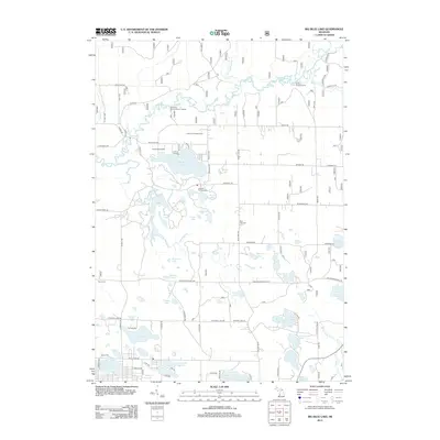 2012 Big Blue Lake2012 Print · USGSCovers Oceana County, including Lakewood Club, Otto Township, and other nearby areas
 - 2012 Map of Crystal Valley, 2012 Print
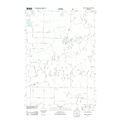 2012 Crystal Valley2012 Print · USGSCovers Oceana County, including Eden Township, Crystal Township, and other nearby areas
 - 2012 Map of Ferry, 2012 Print
 2012 Ferry2012 Print · USGSCovers Oceana County, including Ferry, Newfield Township, and other nearby areas
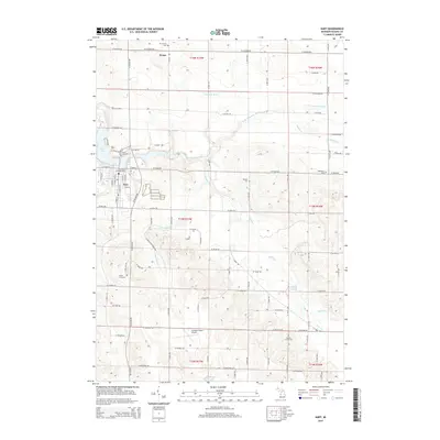
 - 2012 Map of Carr, 2012 Print
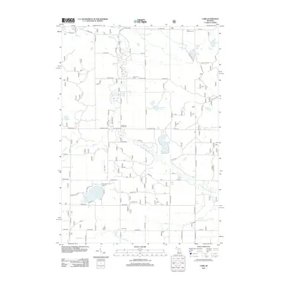 2012 Carr2012 Print · USGSCovers Oceana County, including Troy Township, Colfax Township, and other nearby areas
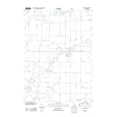
 - 2012 Map of Shelby, 2012 Print
 2012 Shelby2012 Print · USGSCovers Oceana County, including Shelby, New Era, and other nearby areas
 - 2012 Map of Walkerville West, 2012 Print
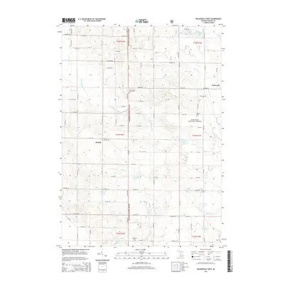
 2012 Walkerville West2012 Print · USGSCovers Oceana County, including Elbridge, Walkerville, and other nearby areas
 - 2012 Map of Walkerville East, 2012 Print
 2012 Walkerville East2012 Print · USGSCovers Oceana County, including Colfax, Troy, and other nearby areas
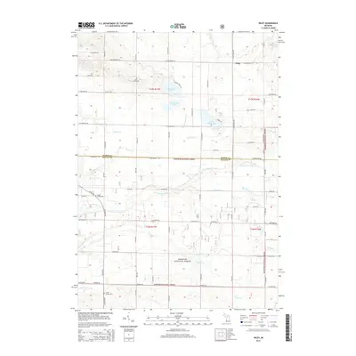
 - 2012 Map of Wiley, 2012 Print
 2012 Wiley2012 Print · USGSCovers Oceana County, including Eden Township, Weare Township, and other nearby areas
 - 2012 Map of Montague, 2012 Print
 2012 Montague2012 Print · USGSCovers Oceana County, including Whitehall, Montague, and other nearby areas
 - 2012 Map of Holton, 2012 Print
 2012 Holton2012 Print · USGSCovers Oceana County, including Holton, Greenwood Township, and other nearby areas
 - 2014 Map of Hart, 2014 Print
 2014 Hart2014 Print · USGSCovers Oceana County, including Hart, Shelby, and other nearby areas
 - 2014 Map of Wiley, 2014 Print
 2014 Wiley2014 Print · USGSCovers Oceana County, including Eden Township, Weare Township, and other nearby areas
 - 2014 Map of Little Point Sable, 2014 Print
 2014 Little Point Sable2014 Print · USGSCovers Oceana County, including Little Point Sable, Benona Township, and other nearby areas
 - 2014 Map of Walkerville West, 2014 Print
 2014 Walkerville West2014 Print · USGSCovers Oceana County, including Elbridge, Walkerville, and other nearby areas
 - 2014 Map of Big Blue Lake, 2014 Print
 2014 Big Blue Lake2014 Print · USGSCovers Oceana County, including Lakewood Club, Otto Township, and other nearby areas
 - 2014 Map of Town Corners, 2014 Print
 2014 Town Corners2014 Print · USGSCovers Oceana County, including Shelby, Shelby Township, and other nearby areas
 - 2014 Map of Bigsbie Lake, 2014 Print
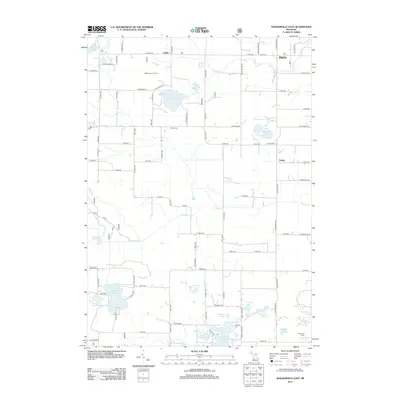
 2014 Bigsbie Lake2014 Print · USGSCovers Oceana County, including Stony Lake, Benona Township, and other nearby areas
Showing maps 1-25 of 90
Top cities of Oceana County
Frequently asked questions
- What are the different types of historical maps available for Oceana County?
- What is the oldest map of Oceana County?
- Where can I purchase historical maps of Oceana County for my home or office?
- Where can I download high-res historical maps of Oceana County?
- Are there historical topographic maps available for Oceana County?
- Is there historical aerial imagery available for Oceana County?
- Where are historical maps of Oceana County sourced from?