Old Maps of Ontonagon, Ontonagon Township for Academic Research
Study the evolution of Ontonagon with 17 high-resolution historic maps. Whether you're teaching, researching, or modeling changes in land use, these maps provide essential visual documentation of urban, environmental, and geographic change.
- Analyze long-term change: Track patterns in development, transportation, and natural features.
- Ideal for environmental or urban studies: Support academic projects with primary historical map data.
- Use in the classroom or lab: Educators and researchers rely on these maps to bring historical context to life.
These maps are a powerful tool for teaching, research, and visualizing how Ontonagon has changed over the decades.
Ontonagon, Ontonagon Township maps
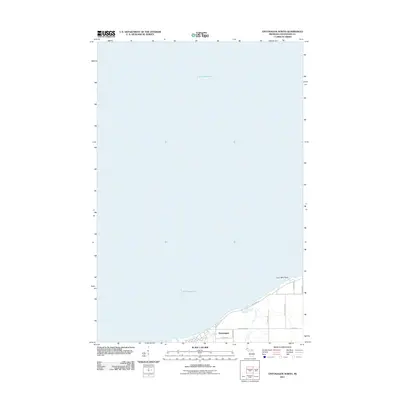
(17)- 1955 Map of Ontonagon, 1956 Print
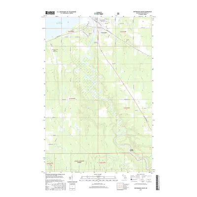
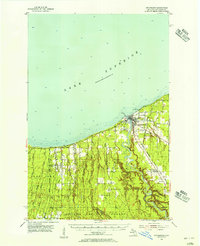 1955 Ontonagon1956 Print · USGSThe Lake Superior shoreline and the Ontonagon River mouth define this mid-century look at Michigan's Copper Country. Trace old transport routes and industry at Wood Spur, locate the Lighthouse, or find family names near Riverside Cem.2 unique versions available
 - 1958 Map of Iron River, 1968 Print
 1958 Iron River1968 Print · USGSThe Upper Peninsula in the late fifties is captured here as a landscape of timber, iron, and rail. Genealogists and historians can trace rail stops like Mass Station or explore the coastlines of Lake Gogebic and Keweenaw Bay.3 unique versions available
 - 1960 Map of Iron River
 1960 Iron River1960 Print · USGSThe Upper Peninsula’s western reaches are shown in the late fifties, featuring the industrial infrastructure of the Copper Country and the vast Ottawa National Forest. Researchers can trace the rail lines of the Milwaukee Road through settlements like Bruce Crossing and the White Pine Mine.
 - 1961 Map of Iron River
 1961 Iron River1961 Print · USGSThe Upper Peninsula and northern Wisconsin are shown here in the early 1960s, a landscape defined by the iron range and vast timberlands. Researchers can trace the legacy of mining and rail transport through Caspian, the Lac Du Flambeau Indian Reservation, and the Milwaukee Road.
 - 1967 Map of Iron River, 1968 Print
 1967 Iron River1968 Print · USGSThe Upper Peninsula and northern Wisconsin borderlands are shown here in the late sixties, a landscape of deep woods and iron-country rail lines. Genealogists and historians can trace the lakeside settlements of L'Anse and Ontonagon or follow the Soo Line through towns like Michigamme and Nestoria.
 - 1979 Map of Ontonagon, 1991 Print
 1979 Ontonagon1991 Print · USGSThe Western Upper Peninsula coastline and copper country are captured here during the late twentieth century. Genealogists and historians can trace the rail-and-river network connecting settlements like White Pine, Lake Mine, and Bruce Crossing.
 - 1982 Map of Ontonagon North, 1983 Print
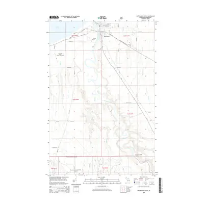
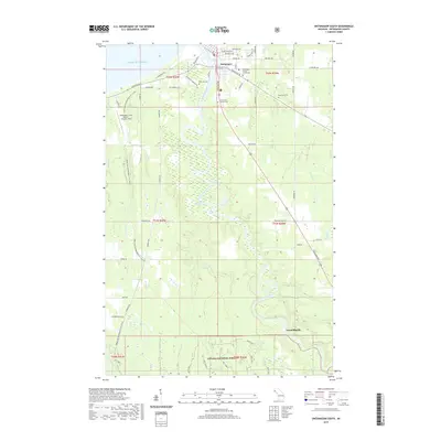
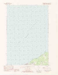 1982 Ontonagon North1983 Print · USGSThe Lake Superior shoreline at Ontonagon in the early 1980s shows a quiet port town defined by its maritime landscape. Genealogists and local historians can trace landmarks like Flintsteel Road, Paddys Creek, and the village Light.
 - 2011 Map of Ontonagon South, 2011 Print
 2011 Ontonagon South2011 Print · USGSCovers Ontonagon, including Ontonagon Township, Rockland Township, and other nearby areas
 - 2011 Map of Ontonagon North, 2011 Print
 2011 Ontonagon North2011 Print · USGSCovers Ontonagon, including Ontonagon Township, Ontonagon County, and other nearby areas
 - 2014 Map of Ontonagon South, 2014 Print
 2014 Ontonagon South2014 Print · USGSCovers Ontonagon, including Ontonagon Township, Rockland Township, and other nearby areas
 - 2014 Map of Ontonagon North, 2014 Print
 2014 Ontonagon North2014 Print · USGSCovers Ontonagon, including Ontonagon Township, Ontonagon County, and other nearby areas
 - 2017 Map of Ontonagon North, 2017 Print
 2017 Ontonagon North2017 Print · USGSCovers Ontonagon, including Ontonagon Township, Ontonagon County, and other nearby areas
 - 2017 Map of Ontonagon South, 2017 Print
 2017 Ontonagon South2017 Print · USGSCovers Ontonagon, including Ontonagon Township, Rockland Township, and other nearby areas
 - 2019 Map of Ontonagon South, 2019 Print
 2019 Ontonagon South2019 Print · USGSCovers Ontonagon, including Ontonagon Township, Rockland Township, and other nearby areas
 - 2019 Map of Ontonagon North, 2019 Print
 2019 Ontonagon North2019 Print · USGSCovers Ontonagon, including Ontonagon Township, Ontonagon County, and other nearby areas
 - 2023 Map of Ontonagon North, 2023 Print
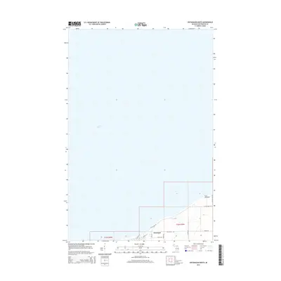
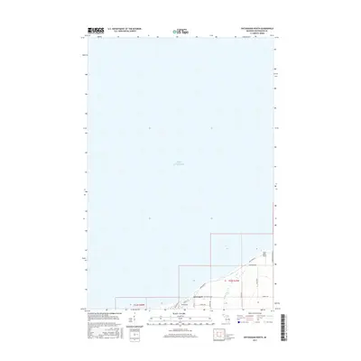
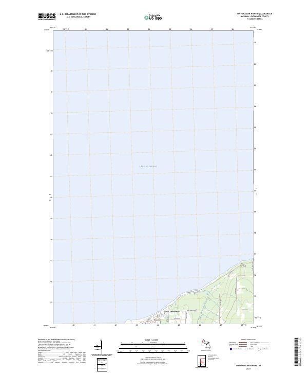 2023 Ontonagon North2023 Print · USGSThe Lake Superior shoreline at Ontonagon comes into focus in this contemporary survey of the Upper Peninsula coast. Researchers can trace the modern layout of the town along Paul Bunyan Ave and locate coastal landmarks like Four Mile Rock.
 - 2023 Map of Ontonagon South, 2023 Print
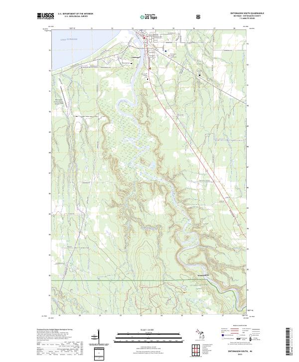 2023 Ontonagon South2023 Print · USGSOntonagon and its Lake Superior shoreline are documented here in the early twenty-first century, showing the town's position at the river's mouth. Researchers can locate local landmarks like the Ontonagon County Courthouse and burial sites including Riverside Cem and Evergreen Cem.
End of results
Showing maps 1-17 of 17
Top cities near Ontonagon
Frequently asked questions
- What are the different types of historical maps available for Ontonagon?
- What is the oldest map of Ontonagon?
- Where can I purchase historical maps of Ontonagon for my home or office?
- Where can I download high-res historical maps of Ontonagon?
- Are there historical topographic maps available for Ontonagon?
- Is there historical aerial imagery available for Ontonagon?
- Where are historical maps of Ontonagon sourced from?