2020s Maps of Rockland Township, Michigan
Explore 8 historic maps of Rockland Township from the 2020s. These maps offer a rare glimpse into what life looked like during the 2020s — showing old roads, neighborhoods, homes, and landmarks that have changed or disappeared over time.
Whether you're researching your family's past, planning a metal detecting trip, or studying how Rockland Township's landscape evolved across the 2020s, these high-resolution maps are a powerful tool for exploring the history of this region.
- Focus on a specific era: All maps on this page are from the 2020s, giving you a focused view of this time period.
- See what’s changed: Compare century-old streets, trails, and buildings to today's modern landscape using overlays and satellite layers.
- Research with precision: Use these maps for genealogy, historical research, land use analysis, or educational projects.
- View, download, or print: Maps are fully viewable online in high resolution, and can be downloaded or printed for your own records.
Start exploring Rockland Township's history through authentic maps from the 2020s. This is your window into the past.
Rockland Township, MI maps
(8)- 2023 Map of Oak Bluff, 2023 Print
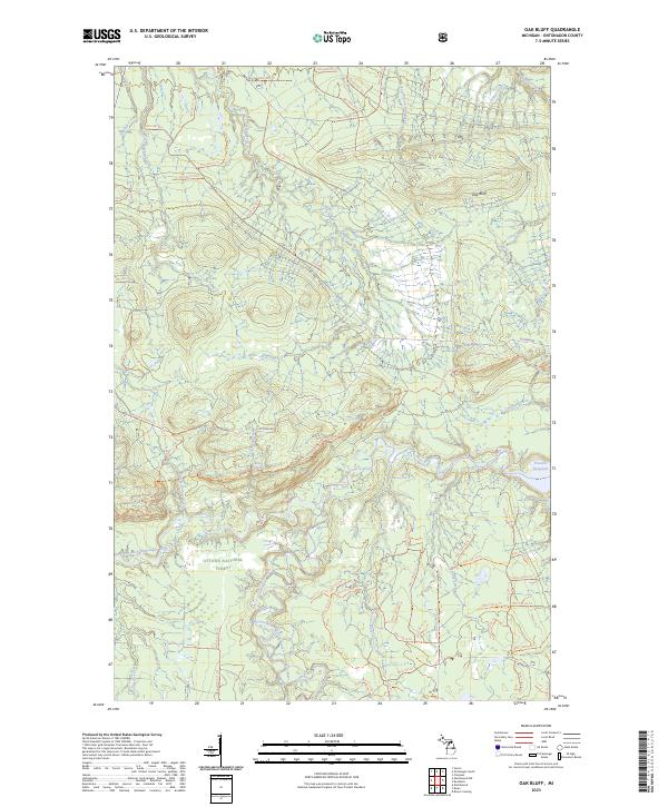 2023 Oak Bluff2023 Print · USGSOntonagon County’s deep forests and wild river systems are documented here in the early twenty-first century. Researchers can trace the complex waterways around Victoria Reservoir and locate landmarks like Sandstone Falls and Oak Bluff.
 - 2023 Map of Greenland, 2023 Print
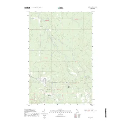 2023 Greenland2023 Print · USGSThe copper country of the Ontonagon area comes into focus here, showing the enduring layout of mining settlements in the modern era. Genealogists and researchers can trace local landmarks like Maple Grove Cem, Lake Mine, and the mountain-shadowed streets of Greenland.
 - 2023 Map of Firesteel, 2023 Print
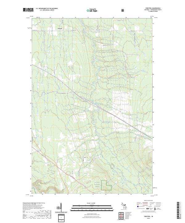 2023 Firesteel2023 Print · USGSUpper Peninsula timberlands and river valleys are captured here in the early twenty-first century, showing the remote character of the Ontonagon interior. Genealogists and local historians can trace the rural road network including Harmony Farms Rd and waterways like the Flintsteel River.
 - 2023 Map of Ontonagon South, 2023 Print
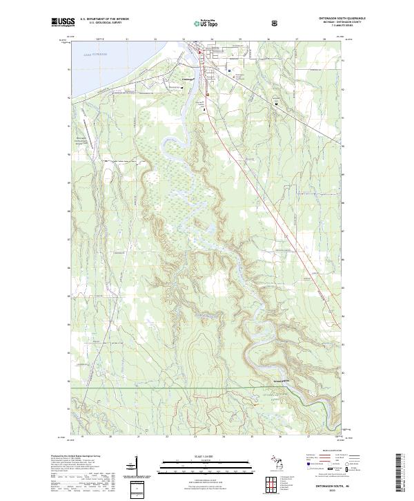 2023 Ontonagon South2023 Print · USGSOntonagon and its Lake Superior shoreline are documented here in the early twenty-first century, showing the town's position at the river's mouth. Researchers can locate local landmarks like the Ontonagon County Courthouse and burial sites including Riverside Cem and Evergreen Cem.
 - 2023 Map of McKeever, 2023 Print
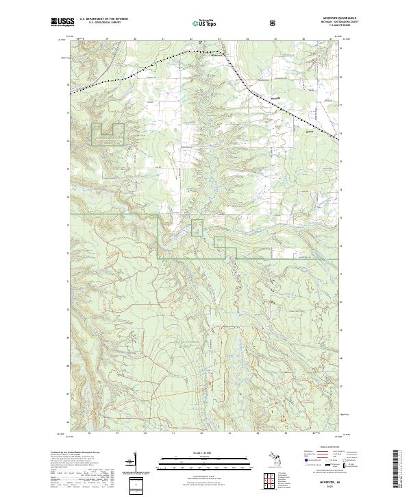 2023 McKeever2023 Print · USGSThe deep woods of Ontonagon County are captured here in the early twenty-first century, showing a landscape defined by federal forest lands and river networks. Researchers can trace the small settlements of McKeever, Wainola, and Wasas along with the path of the Ontonagon Wild and Scenic River.
 - 2023 Map of Rockland, 2023 Print
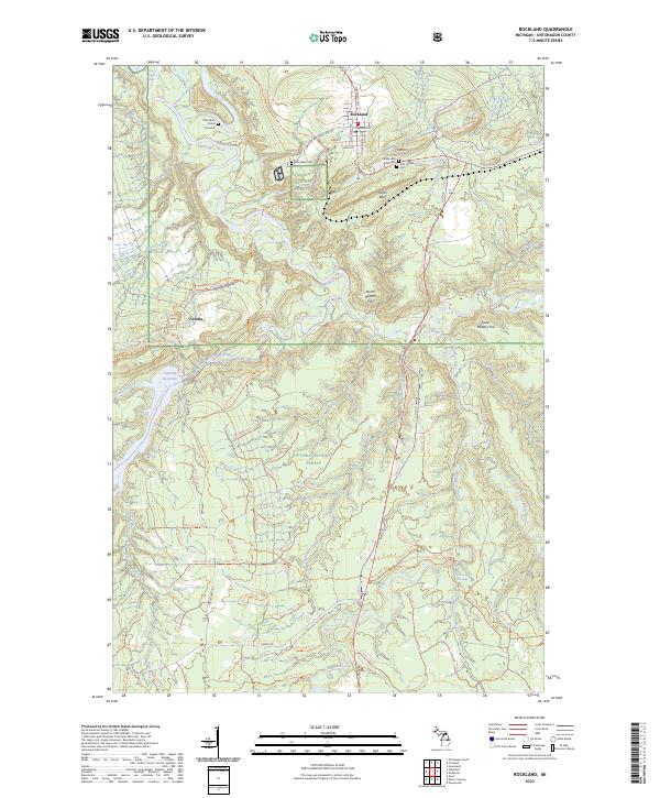 2023 Rockland2023 Print · USGSThe copper country around Rockland and Victoria comes into focus in this recent survey of the Ontonagon River valley. Genealogists and local historians can trace legacy sites like the Old Indian Burial Grounds, Irish Hollow Cem, and the prominent C Shaft Hill.
 - 2023 Map of Bruce Crossing, 2023 Print
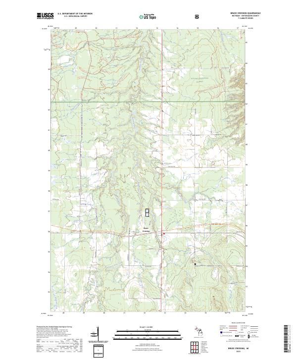 2023 Bruce Crossing2023 Print · USGSThe Western Upper Peninsula’s timber and trail networks are on full display in this recent look at Bruce Crossing. Genealogists and historians can trace family roots along Nurkkala Rd or visit the Bruce Crossing Cem near the Baltimore River.
 - 2023 Map of Ewen, 2023 Print
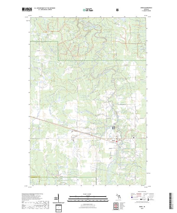 2023 Ewen2023 Print · USGSOntonagon County's timberlands and river valleys are captured here in the early 2020s, centered on the historic village of Ewen. Researchers can trace local heritage at the Evergreen Ewen Cem or follow the winding South Branch Ontonagon River through the Ottawa National Forest.
End of results
Showing maps 1-8 of 8
Top cities near Rockland Township
Top neighborhoods of Rockland Township
Frequently asked questions
- What are the different types of historical maps available for Rockland Township?
- What is the oldest map of Rockland Township?
- Where can I purchase historical maps of Rockland Township for my home or office?
- Where can I download high-res historical maps of Rockland Township?
- Are there historical topographic maps available for Rockland Township?
- Is there historical aerial imagery available for Rockland Township?
- Where are historical maps of Rockland Township sourced from?