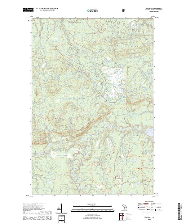
2023 Map of Oak Bluff
USGS Topo · Published 2023About this map
Ottawa National Forest dominates this landscape in the Upper Peninsula, where the West Branch Ontonagon River and South Branch Ontonagon River converge. This area, designated as the Ontonagon Wild and Scenic River, features significant water landmarks including the Victoria Reservoir and the natural drop of Sandstone Falls. The terrain is defined by dramatic elevation changes, most notably at Oak Bluff, and is deeply dissected by numerous drainages like Whisky Hollow Creek and Diggings Creek.
Find a feature on this map
70 named features on this map. Tap any name to fly to it.
Don’t see what you’re looking for? This feature index may not catch every label — zoom into the map to look around manually.
Map Details
Editions of this 2023 Oak Bluff Map
This is the sole edition of this map. No revisions or reprints were ever made.
Other maps of this area

1949 · Matchwood NW
USGS Topo · 1:24,000

1949 · Rockland
USGS Topo · 1:62,500

1950 · Greenland
USGS Topo · 1:62,500

1951 · Rockland
USGS Topo · 1:62,500

1951 · Greenland
USGS Topo · 1:62,500

1955 · Ontonagon
USGS Topo · 1:62,500

1956 · Matchwood NW
USGS Topo · 1:24,000

1956 · Matchwood
USGS Topo · 1:62,500

1958 · Iron River
USGS Topo · 1:250,000

1960 · Iron River
USGS Topo · 1:250,000