
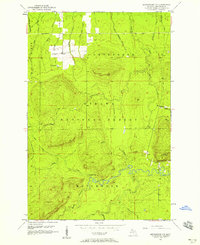
1956 Map of Matchwood NW
USGS Topo · Published 1958About this map
The Ottawa National Forest dominates this landscape in Ontonagon County, where the topography rises sharply into the Carp Lake Mountains. The map reveals a region defined by its industrial past and natural watercourses, featuring the Norwich Mine and the nearby Norwich Lookout Tower overlooking the rugged northern terrain. Transportation history is etched into the earth by an Old Railroad Grade that cuts through the northwest corner near West Br Duck Creek. The intricate drainage system of the West Branch Ontonagon River is highlighted by Cascade Falls, illustrating the dramatic elevation changes common in this part of the Upper Peninsula. Numerous smaller streams like Argentine Creek and Little Cranberry River feed the larger basins, while isolated landmarks such as a Flowing Well indicate specific points of human interaction with the wilderness.
Find a feature on this map
30 named features on this map. Tap any name to fly to it.
Don’t see what you’re looking for? This feature index may not catch every label — zoom into the map to look around manually.
Map Details
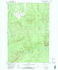
Editions of this 1956 Matchwood NW Map
3 editions found
Other maps of this area

1949 · Matchwood NW
USGS Topo · 1:24,000

1949 · White Pine
USGS Topo · 1:24,000

1949 · Bergland NE
USGS Topo · 1:24,000

1955 · Ontonagon
USGS Topo · 1:62,500

1956 · Bergland NE
USGS Topo · 1:24,000

1956 · Bergland
USGS Topo · 1:62,500

1956 · White Pine
USGS Topo · 1:24,000

1956 · White Pine
USGS Topo · 1:62,500

1956 · Matchwood
USGS Topo · 1:62,500

1958 · Iron River
USGS Topo · 1:250,000