
1956 Map of Bergland
USGS Topo · Published 1957About this map
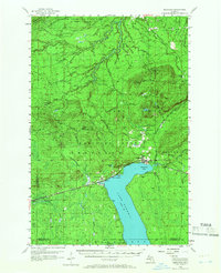
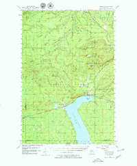
The northern tip of Lake Gogebic anchors this mid-century look at the western Upper Peninsula, where the settlement of Bergland sits at the junction of the lake and the Duluth South Shore and Atlantic Railroad. The landscape is dominated by the heavily wooded reaches of the Ottawa National Forest and the southern edge of the Porcupine Mountains State Park. The map documents the industrial activity of the era, notably the White Pine Mine and the White Pine Extension Mine in the northern hills, alongside local landmarks like the Bergland Lookout Tower and Krobath Cabin. Transport and drainage patterns are defined by a dense network of watercourses including the Ontonagon River and White River, which flow through a terrain marked by features such as Little Trap Falls and several small, named lakes like Weidman Lake and Stanko Lake.
Find a feature on this map
61 named features on this map. Tap any name to fly to it.
Don’t see what you’re looking for? This feature index may not catch every label — zoom into the map to look around manually.
Map Details
Editions of this 1956 Bergland Map
3 editions found
Other maps of this area

1949 · Matchwood NW
USGS Topo · 1:24,000

1949 · White Pine
USGS Topo · 1:24,000

1949 · Bergland NE
USGS Topo · 1:24,000

1952 · Thayer
USGS Topo · 1:62,500

1955 · Ontonagon
USGS Topo · 1:62,500

1955 · Marenisco
USGS Topo · 1:62,500

1955 · Marenisco
USGS Topo · 1:24,000

1955 · Wakefield
USGS Topo · 1:62,500

1955 · Wakefield NE
USGS Topo · 1:24,000

1956 · Carp River
USGS Topo · 1:62,500