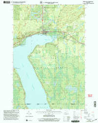
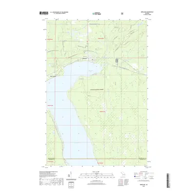
1956 Map of Bergland
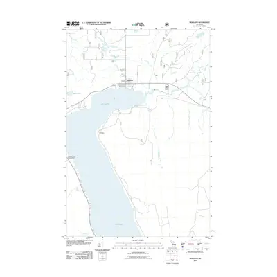
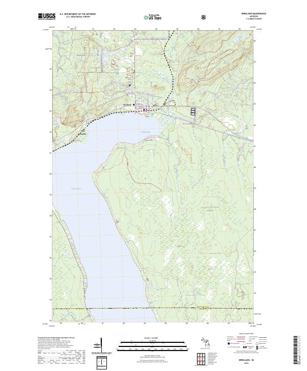
USGS Topo · Published 1979About this map
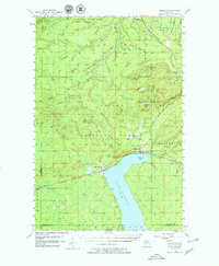
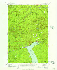
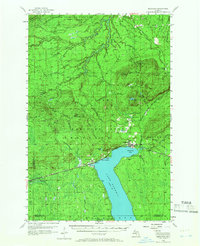
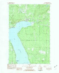
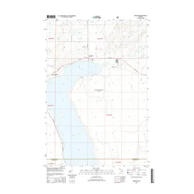
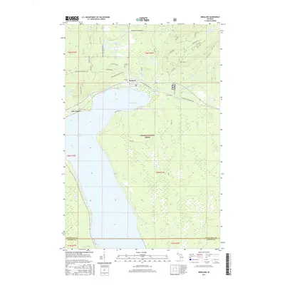
Lake Gogebic dominates the southern landscape of this mid-century survey, its northern shore serving as the anchor for the settlements of Bergland and Merriweather. The region reflects a transition from wilderness conservation to industrial extraction, with the northern boundary defined by Porcupine Mountains State Park and the Ottawa National Forest. Transportation and industry are intertwined here, as the Duluth South Shore and Atlantic Railroad skirts the lake to support the timber and mining interests of the Upper Peninsula. North of the lake, the White Pine Mine and White Pine Extension Mine highlight the copper mining heritage of Ontonagon County. The map captures a rugged network of drainage systems, including the Big Iron River and Rapid River Falls, which descend toward Lake Superior. Local landmarks like the Bergland Lookout Tower and remote locations such as Krobath Cabin provide specific points of interest for those tracing the development of this northern Michigan interior.
Find a feature on this map
65 named features on this map. Tap any name to fly to it.
Don’t see what you’re looking for? This feature index may not catch every label — zoom into the map to look around manually.
Map Details
Editions of this 1956 Bergland Map
3 editions found
Historical Maps of Bergland Through Time
8 maps found
Featured Locations
- Marenisco Township, MI
- Wakefield Township, MI
- Carp Lake Township, MI
- Bergland, Bergland Township
- Merriweather, Bergland Township