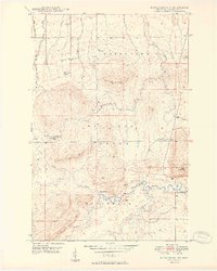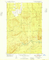
1949 Map of Matchwood NW
USGS Topo · Published 1949This historical map portrays the area of Matchwood NW in 1949, primarily covering Ontonagon County. Featuring a scale of 1:24000, this map provides a highly detailed snapshot of the terrain, roads, buildings, counties, and historical landmarks in the Matchwood NW region at the time. Published in 1949, it is one of 2 known editions of this map due to revisions or reprints.
Map Details
Editions of this 1949 Matchwood NW Map
2 editions found
Historical Maps of Ontonagon County Through Time
39 maps found
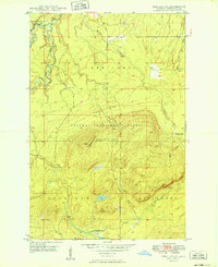
1949 Bergland NE
Ontonagon County, MI

1949 Matchwood NW
Ontonagon County, MI
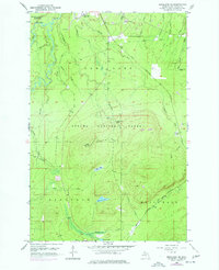
1956 Bergland NE
Ontonagon County, MI
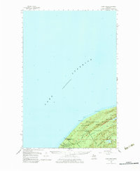
1956 Carp River
Ontonagon County, MI
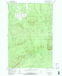
1956 Matchwood NW
Ontonagon County, MI
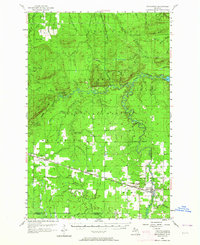
1956 Matchwood
Ontonagon County, MI
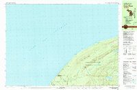
1980 Carp River
Ontonagon County, MI
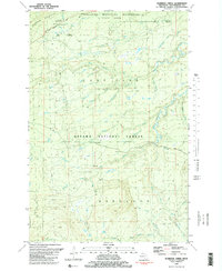
1981 Aldridge Creek
Ontonagon County, MI
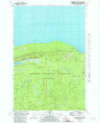
1981 Government Peak
Ontonagon County, MI
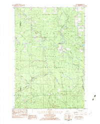
1982 Choate
Ontonagon County, MI
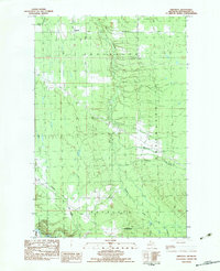
1982 Firesteel
Ontonagon County, MI
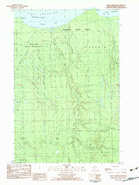
1982 Four Corners
Ontonagon County, MI
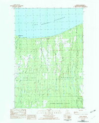
1982 Green
Ontonagon County, MI
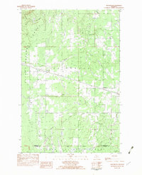
1982 Matchwood
Ontonagon County, MI
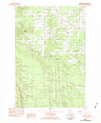
1982 McKeever
Ontonagon County, MI
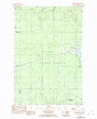
1982 Merriweather
Ontonagon County, MI
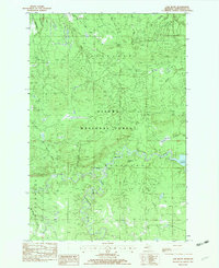
1982 Oak Bluff
Ontonagon County, MI
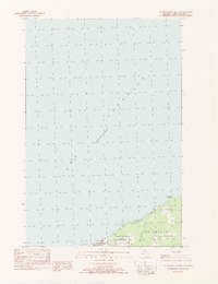
1982 Ontonagon North
Ontonagon County, MI
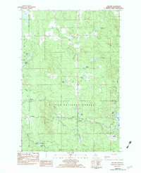
1982 Paulding
Ontonagon County, MI
1982 Paynesville
Ontonagon County, MI
1982 Rousseau
Ontonagon County, MI
1982 Tenmile Point
Ontonagon County, MI
1982 Trout Creek
Ontonagon County, MI
1982 Winona North
Ontonagon County, MI
1982 Winona South
Ontonagon County, MI
1994 Carp River
Ontonagon County, MI
1998 Government Peak
Ontonagon County, MI
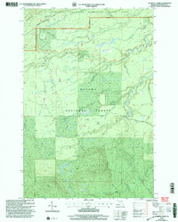
1999 Aldridge Creek
Ontonagon County, MI
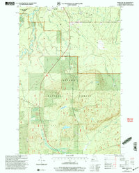
1999 Bergland NE
Ontonagon County, MI
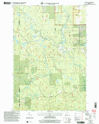
1999 Choate
Ontonagon County, MI
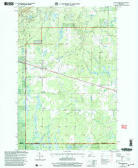
1999 Matchwood
Ontonagon County, MI
1999 McKeever
Ontonagon County, MI
1999 Merriweather
Ontonagon County, MI
1999 Oak Bluff
Ontonagon County, MI
1999 Paulding
Ontonagon County, MI
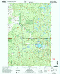
1999 Rousseau
Ontonagon County, MI
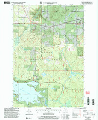
1999 Trout Creek
Ontonagon County, MI
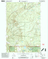
1999 Winona South
Ontonagon County, MI
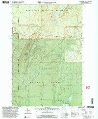
2001 Underwood Hill
Ontonagon County, MI
