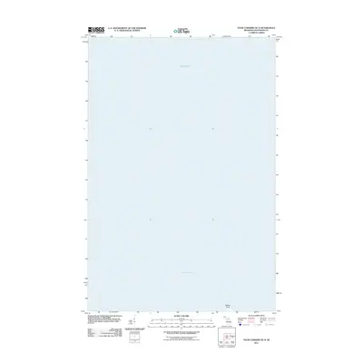
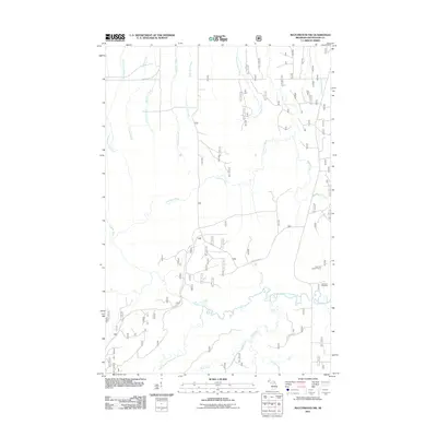
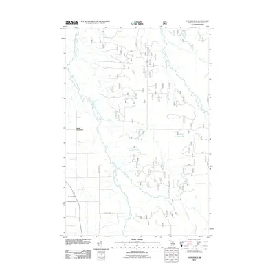
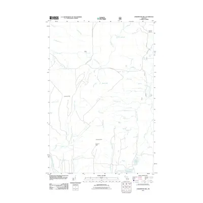
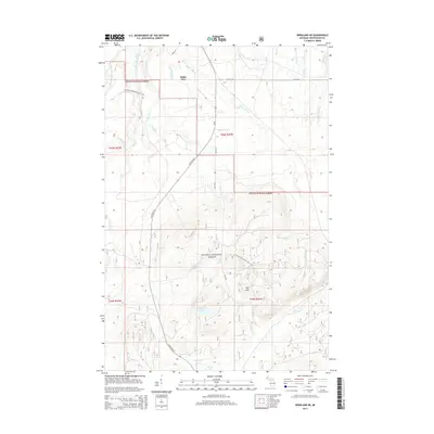
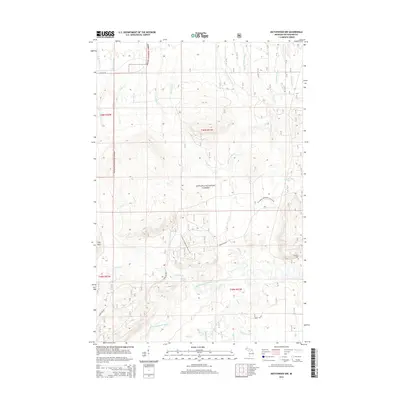
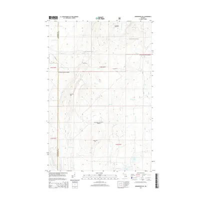
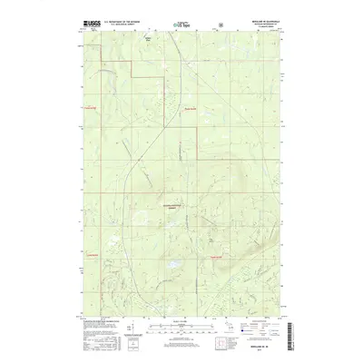
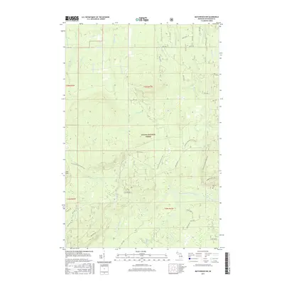
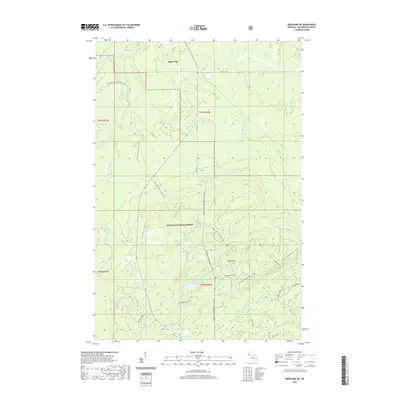
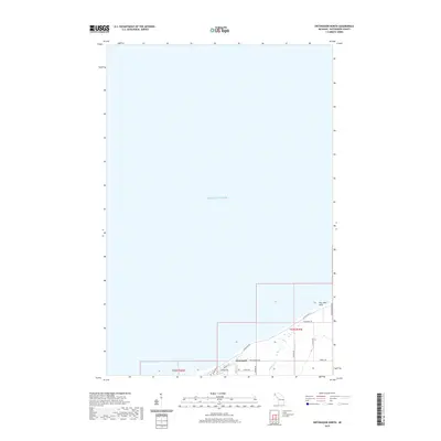
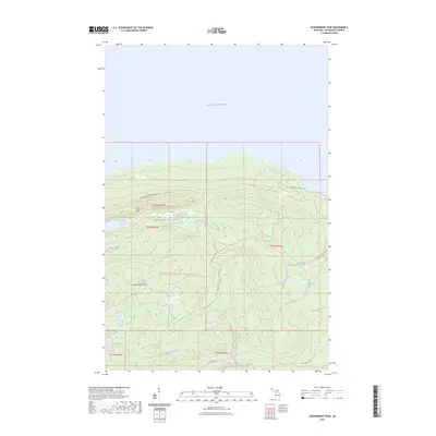
1956 Map of Bergland NE
USGS Topo · Published 1977About this map
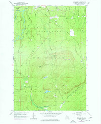
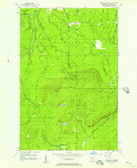
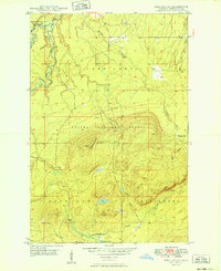
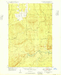
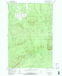
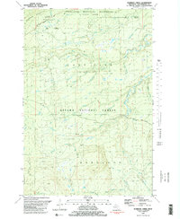
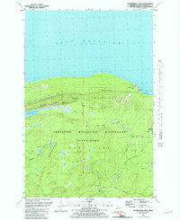
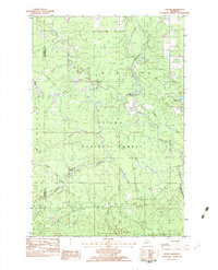
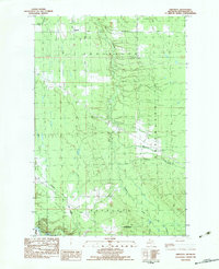
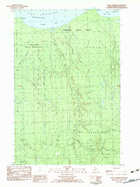
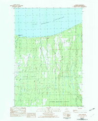
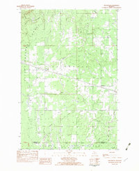
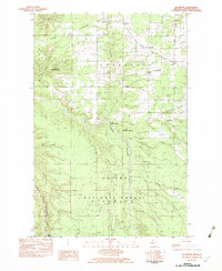
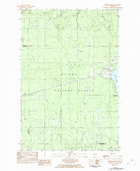
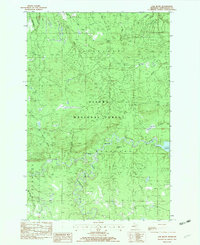
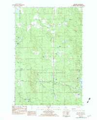
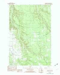
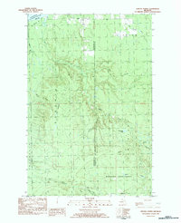
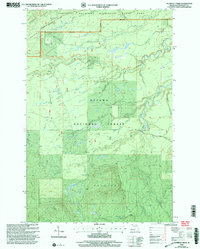
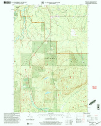
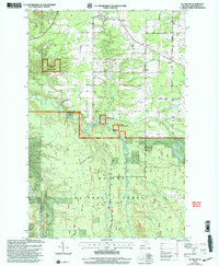
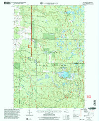
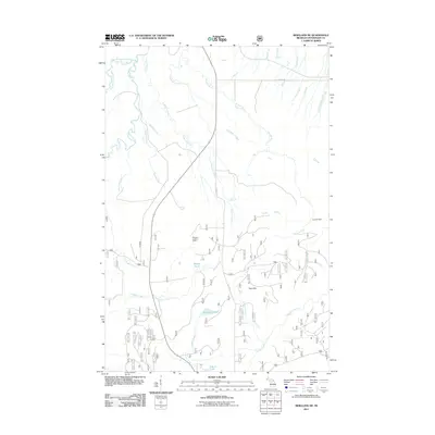
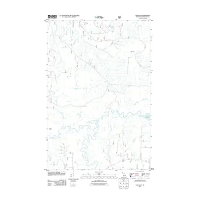
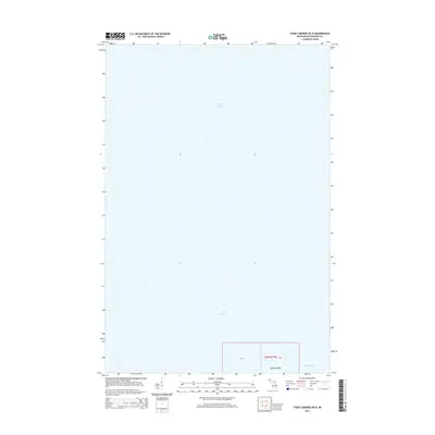
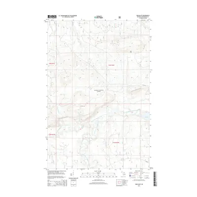
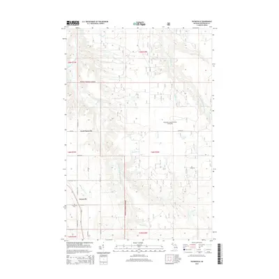
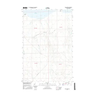
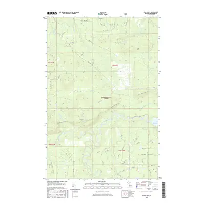
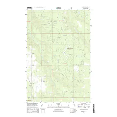
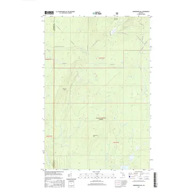
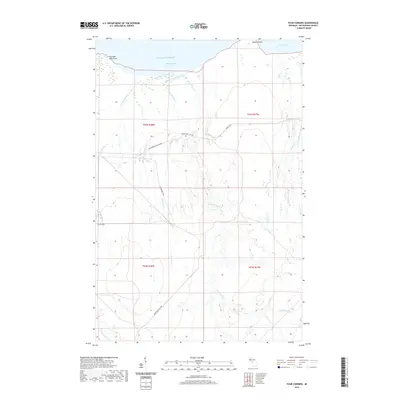
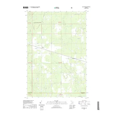
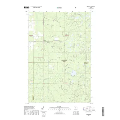
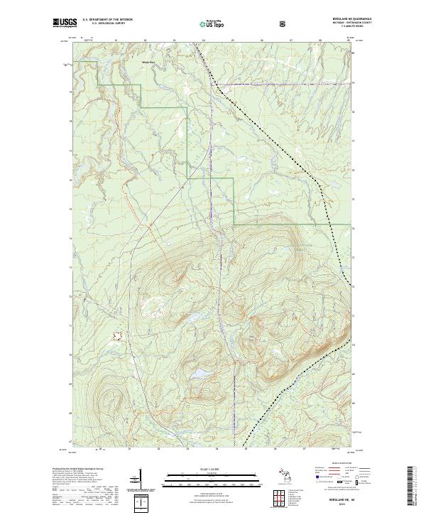
The White Pine Mine dominates the northern landscape of this interior Ontonagon County map, situated just east of the copper mining settlement of White Pine. The terrain is defined by the steep elevation changes of the Ottawa National Forest, where the Bergland Lookout Tower sits atop a 1,775-foot peak. This area represents a mid-century industrial and natural landscape, with the historic Duluth South Shore and Atlantic Railroad Grade cutting across the northern reaches near Mineral Creek. To the west, the Porcupine Mountains Wilderness State Park borders the Big Iron River, showcasing the region's move toward wilderness preservation alongside active industry. Rare localized landmarks like Krobath Cabin and the waterfall at Little Trap Falls offer specific points of interest for local history researchers and hikers tracing old trails.
Find a feature on this map
39 named features on this map. Tap any name to fly to it.
Don’t see what you’re looking for? This feature index may not catch every label — zoom into the map to look around manually.
Map Details
Editions of this 1956 Bergland NE Map
2 editions found
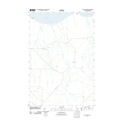
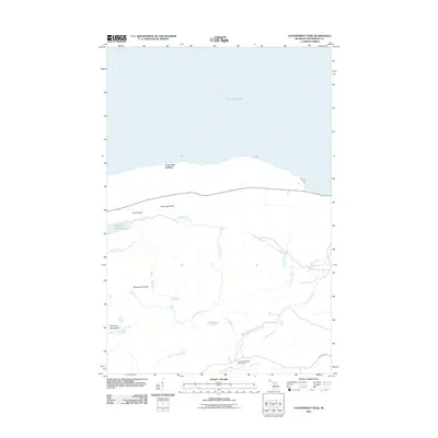
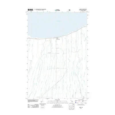
Historical Maps of Carp Lake Township Through Time
159 maps found
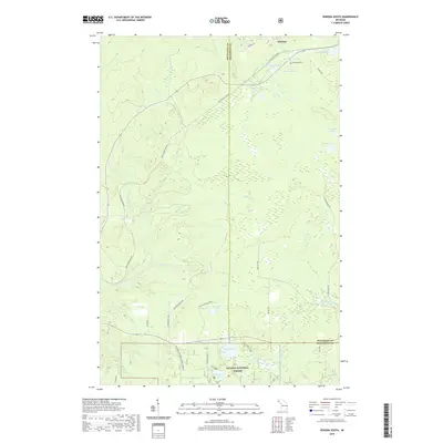
1949 Bergland NE
Ontonagon County, MI
1949 Matchwood NW
Ontonagon County, MI
1956 Bergland NE
Ontonagon County, MI
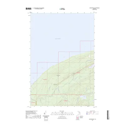
1956 Carp River
Ontonagon County, MI
1956 Matchwood NW
Ontonagon County, MI
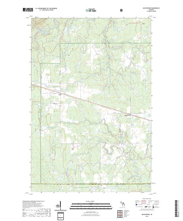
1956 Matchwood
Ontonagon County, MI
1980 Carp River
Ontonagon County, MI
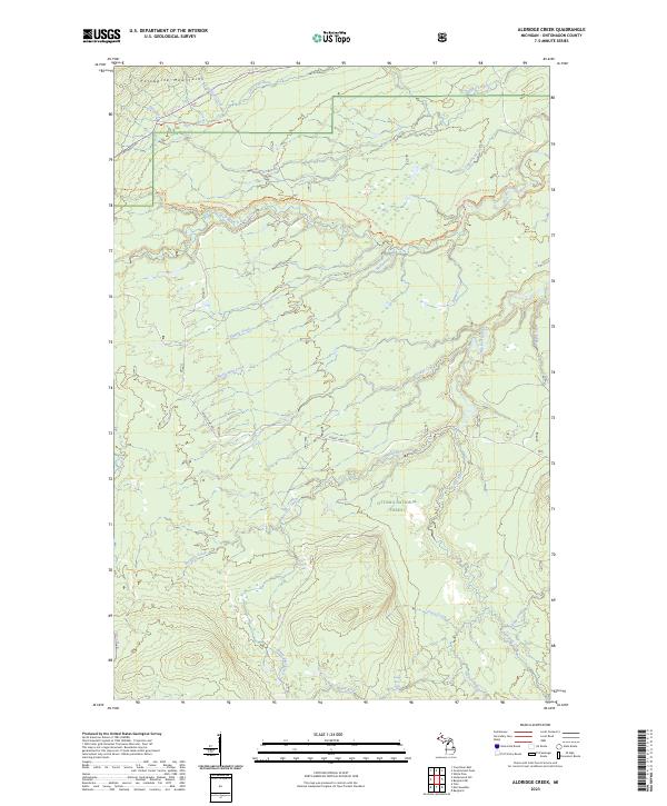
1981 Aldridge Creek
Ontonagon County, MI
1981 Government Peak
Ontonagon County, MI
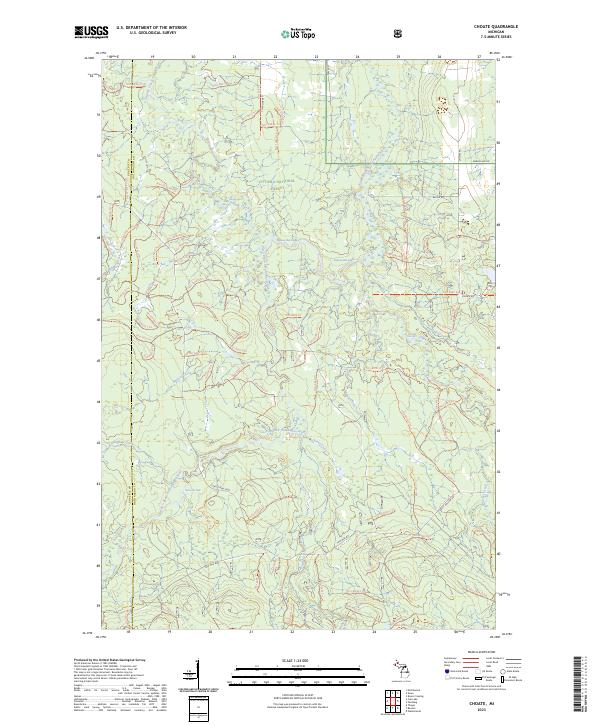
1982 Choate
Ontonagon County, MI
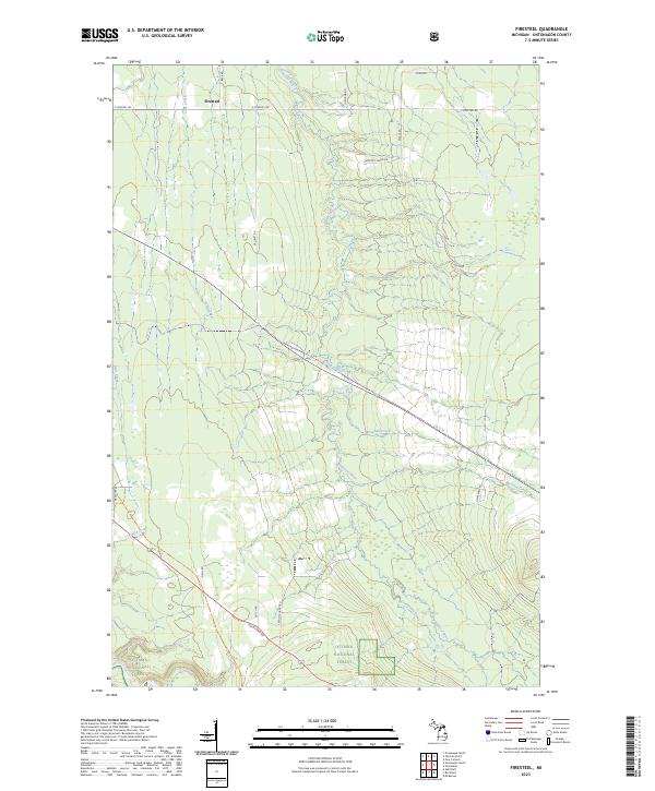
1982 Firesteel
Ontonagon County, MI
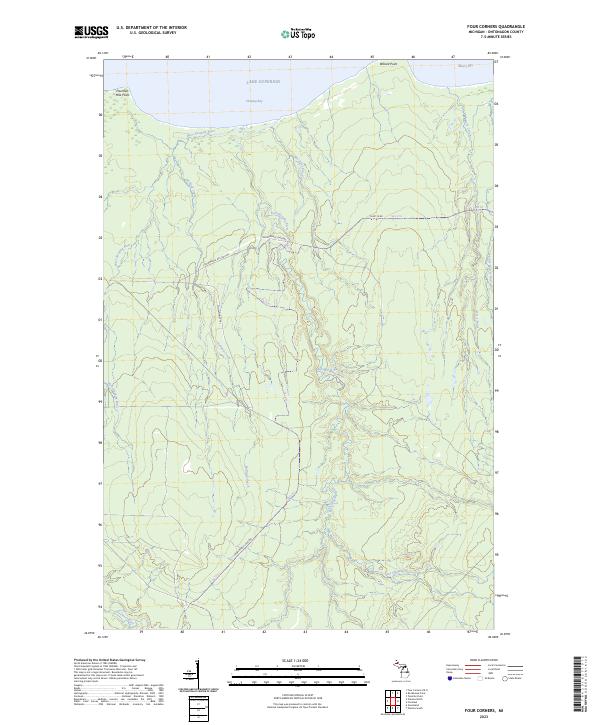
1982 Four Corners
Ontonagon County, MI
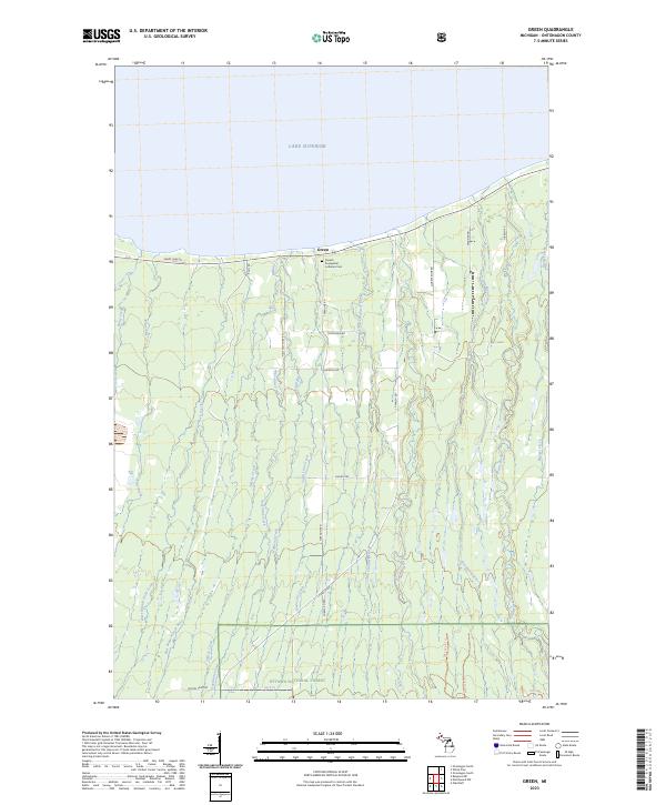
1982 Green
Ontonagon County, MI
1982 Matchwood
Ontonagon County, MI
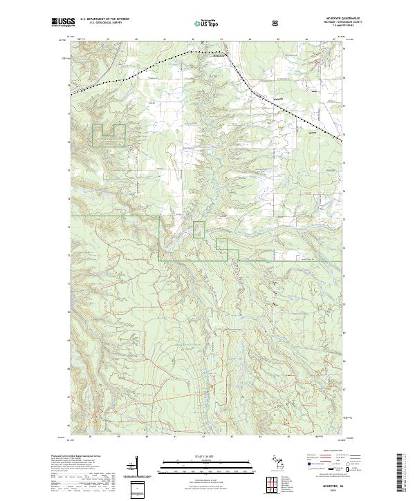
1982 McKeever
Ontonagon County, MI
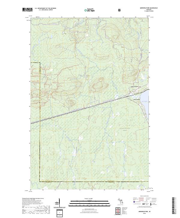
1982 Merriweather
Ontonagon County, MI
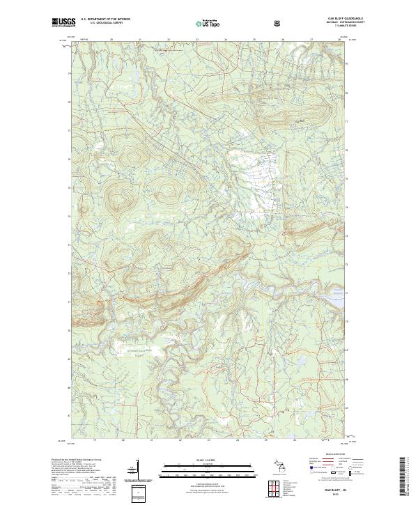
1982 Oak Bluff
Ontonagon County, MI
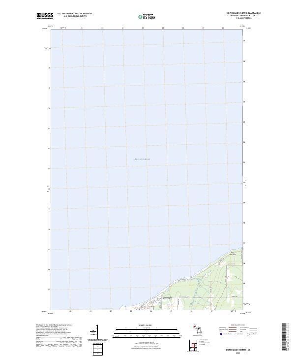
1982 Ontonagon North
Ontonagon County, MI
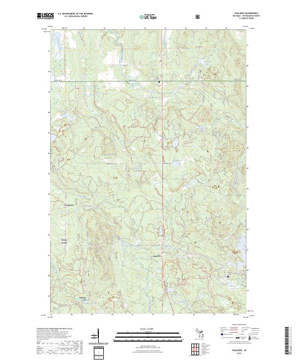
1982 Paulding
Ontonagon County, MI
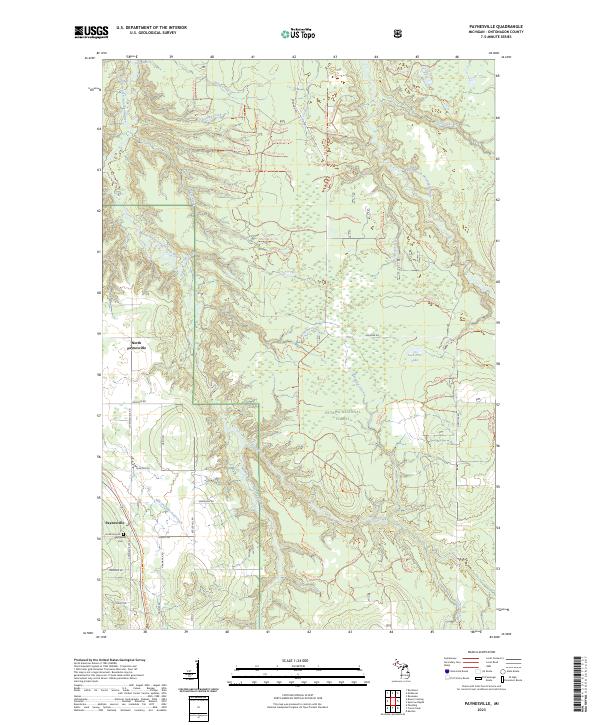
1982 Paynesville
Ontonagon County, MI
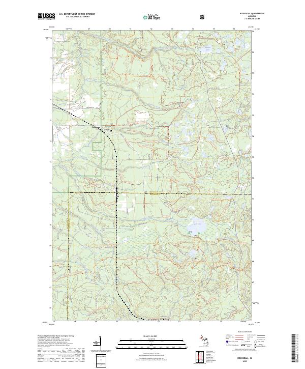
1982 Rousseau
Ontonagon County, MI
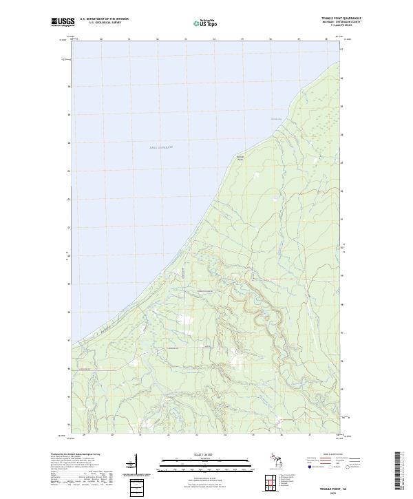
1982 Tenmile Point
Ontonagon County, MI
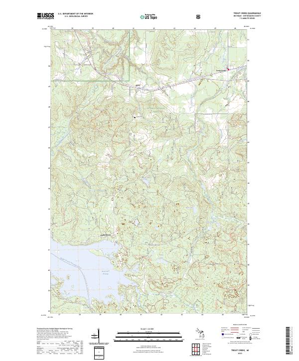
1982 Trout Creek
Ontonagon County, MI
1982 Winona North
Ontonagon County, MI
1982 Winona South
Ontonagon County, MI
1994 Carp River
Ontonagon County, MI
1998 Government Peak
Ontonagon County, MI
1999 Aldridge Creek
Ontonagon County, MI
1999 Bergland NE
Ontonagon County, MI
1999 Choate
Ontonagon County, MI
1999 Matchwood
Ontonagon County, MI
1999 McKeever
Ontonagon County, MI
1999 Merriweather
Ontonagon County, MI
1999 Oak Bluff
Ontonagon County, MI
1999 Paulding
Ontonagon County, MI
1999 Rousseau
Ontonagon County, MI

1999 Trout Creek
Ontonagon County, MI
1999 Winona South
Ontonagon County, MI
2001 Underwood Hill
Ontonagon County, MI
2011 Aldridge Creek
Ontonagon County, MI
2011 Bergland NE
Ontonagon County, MI
2011 Carp River East
Ontonagon County, MI
2011 Choate
Ontonagon County, MI
2011 Firesteel
Ontonagon County, MI
2011 Four Corners OE N
Ontonagon County, MI
2011 Four Corners
Ontonagon County, MI
2011 Government Peak
Ontonagon County, MI
2011 Green
Ontonagon County, MI
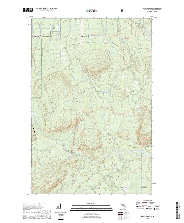
2011 Matchwood NW
Ontonagon County, MI
2011 Matchwood
Ontonagon County, MI
2011 McKeever
Ontonagon County, MI
2011 Merriweather
Ontonagon County, MI
2011 Oak Bluff
Ontonagon County, MI
2011 Ontonagon North
Ontonagon County, MI
2011 Ontonagon South
Ontonagon County, MI
2011 Paulding
Ontonagon County, MI
2011 Paynesville
Ontonagon County, MI
2011 Rousseau
Ontonagon County, MI
2011 Tenmile Point
Ontonagon County, MI
2011 Trout Creek
Ontonagon County, MI
2011 Underwood Hill
Ontonagon County, MI
2011 Winona North
Ontonagon County, MI
2011 Winona South
Ontonagon County, MI
2014 Aldridge Creek
Ontonagon County, MI
2014 Bergland NE
Ontonagon County, MI
2014 Carp River East
Ontonagon County, MI
2014 Choate
Ontonagon County, MI
2014 Firesteel
Ontonagon County, MI
2014 Four Corners OE N
Ontonagon County, MI
2014 Four Corners
Ontonagon County, MI
2014 Government Peak
Ontonagon County, MI
2014 Green
Ontonagon County, MI
2014 Matchwood NW
Ontonagon County, MI
2014 Matchwood
Ontonagon County, MI
2014 McKeever
Ontonagon County, MI
2014 Merriweather
Ontonagon County, MI
2014 Oak Bluff
Ontonagon County, MI
2014 Ontonagon North
Ontonagon County, MI
2014 Ontonagon South
Ontonagon County, MI
2014 Paulding
Ontonagon County, MI
2014 Paynesville
Ontonagon County, MI
2014 Rousseau
Ontonagon County, MI
2014 Tenmile Point
Ontonagon County, MI
2014 Trout Creek
Ontonagon County, MI
2014 Underwood Hill
Ontonagon County, MI
2014 Winona North
Ontonagon County, MI
2014 Winona South
Ontonagon County, MI
2017 Aldridge Creek
Ontonagon County, MI
2017 Bergland NE
Ontonagon County, MI
2017 Carp River East
Ontonagon County, MI
2017 Choate
Ontonagon County, MI
2017 Firesteel
Ontonagon County, MI
2017 Four Corners OE N
Ontonagon County, MI
2017 Four Corners
Ontonagon County, MI
2017 Government Peak
Ontonagon County, MI
2017 Green
Ontonagon County, MI
2017 Matchwood NW
Ontonagon County, MI
2017 Matchwood
Ontonagon County, MI
2017 McKeever
Ontonagon County, MI
2017 Merriweather
Ontonagon County, MI
2017 Oak Bluff
Ontonagon County, MI
2017 Ontonagon North
Ontonagon County, MI
2017 Ontonagon South
Ontonagon County, MI
2017 Paulding
Ontonagon County, MI
2017 Paynesville
Ontonagon County, MI
2017 Rousseau
Ontonagon County, MI
2017 Tenmile Point
Ontonagon County, MI
2017 Trout Creek
Ontonagon County, MI
2017 Underwood Hill
Ontonagon County, MI
2017 Winona North
Ontonagon County, MI
2017 Winona South
Ontonagon County, MI
2019 Aldridge Creek
Ontonagon County, MI
2019 Bergland NE
Ontonagon County, MI
2019 Carp River East
Ontonagon County, MI
2019 Choate
Ontonagon County, MI
2019 Firesteel
Ontonagon County, MI
2019 Four Corners OE N
Ontonagon County, MI
2019 Four Corners
Ontonagon County, MI

2019 Government Peak
Ontonagon County, MI
2019 Green
Ontonagon County, MI
2019 Matchwood NW
Ontonagon County, MI
2019 Matchwood
Ontonagon County, MI
2019 McKeever
Ontonagon County, MI
2019 Merriweather
Ontonagon County, MI
2019 Oak Bluff
Ontonagon County, MI
2019 Ontonagon North
Ontonagon County, MI
2019 Ontonagon South
Ontonagon County, MI
2019 Paulding
Ontonagon County, MI
2019 Paynesville
Ontonagon County, MI
2019 Rousseau
Ontonagon County, MI
2019 Tenmile Point
Ontonagon County, MI
2019 Trout Creek
Ontonagon County, MI
2019 Underwood Hill
Ontonagon County, MI

2019 Winona North
Ontonagon County, MI
2019 Winona South
Ontonagon County, MI
2023 Aldridge Creek
Ontonagon County, MI
2023 Bergland NE
Ontonagon County, MI
2023 Carp River East
Ontonagon County, MI
2023 Choate
Ontonagon County, MI
2023 Firesteel
Ontonagon County, MI
2023 Four Corners OE N
Ontonagon County, MI
2023 Four Corners
Ontonagon County, MI
2023 Government Peak
Ontonagon County, MI
2023 Green
Ontonagon County, MI
2023 Matchwood NW
Ontonagon County, MI
2023 Matchwood
Ontonagon County, MI
2023 McKeever
Ontonagon County, MI
2023 Merriweather
Ontonagon County, MI
2023 Oak Bluff
Ontonagon County, MI
2023 Ontonagon North
Ontonagon County, MI
2023 Ontonagon South
Ontonagon County, MI
2023 Paulding
Ontonagon County, MI
2023 Paynesville
Ontonagon County, MI
2023 Rousseau
Ontonagon County, MI
2023 Tenmile Point
Ontonagon County, MI
2023 Trout Creek
Ontonagon County, MI
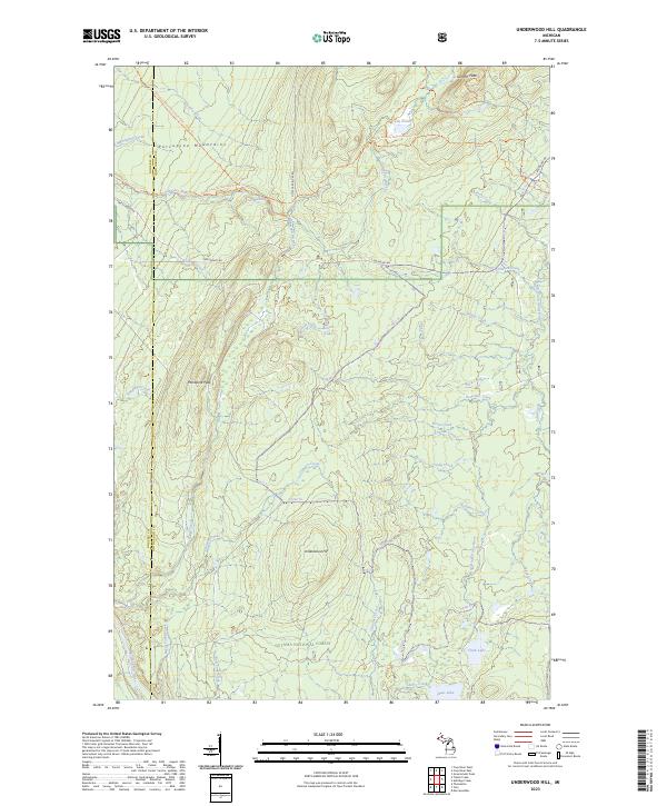
2023 Underwood Hill
Ontonagon County, MI
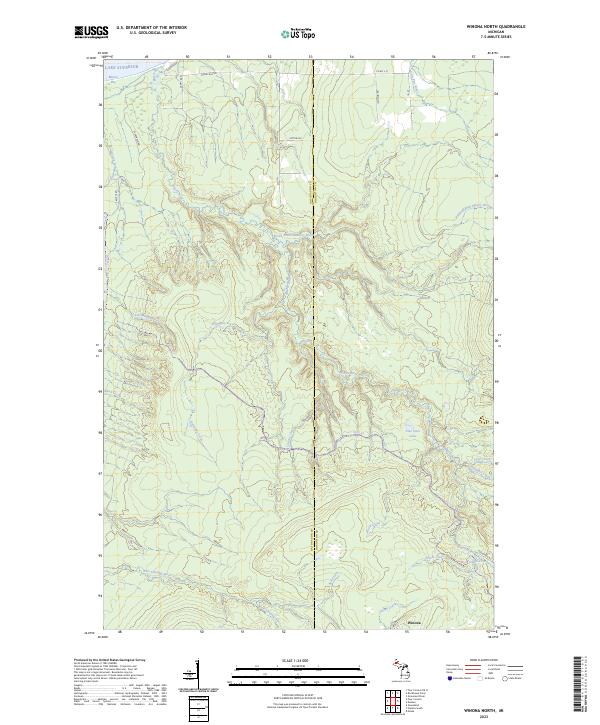
2023 Winona North
Ontonagon County, MI
2023 Winona South
Ontonagon County, MI