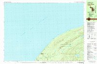
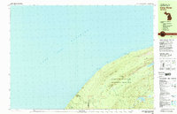
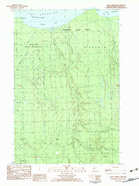
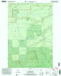
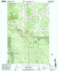
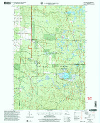
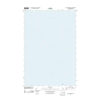
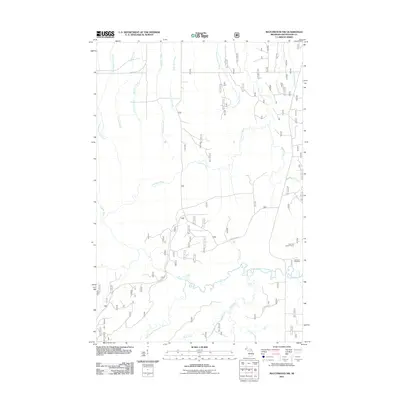
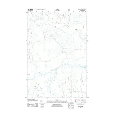
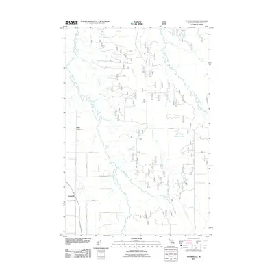
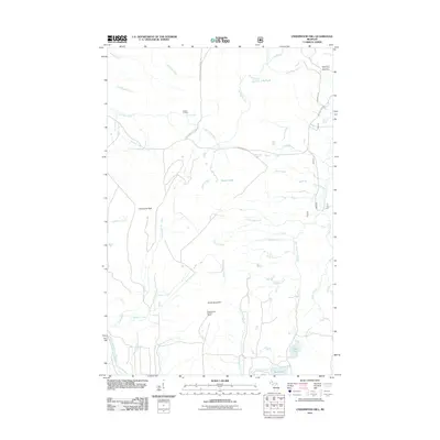
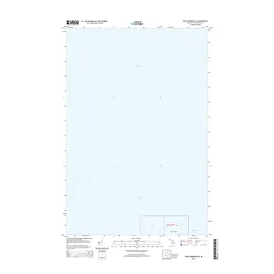
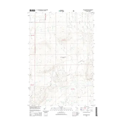
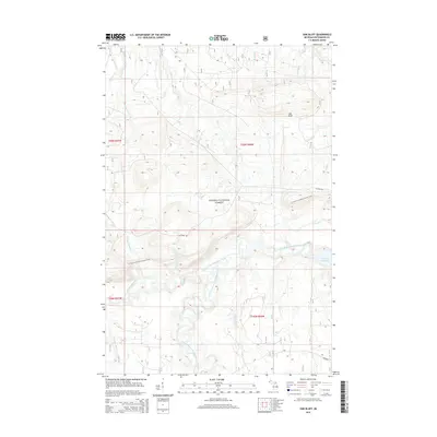
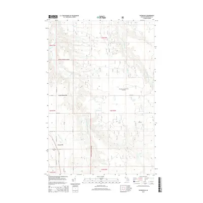
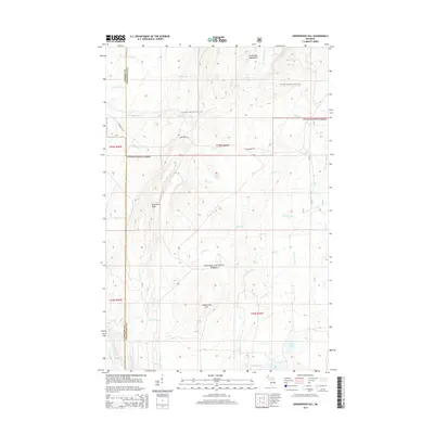
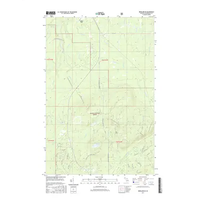
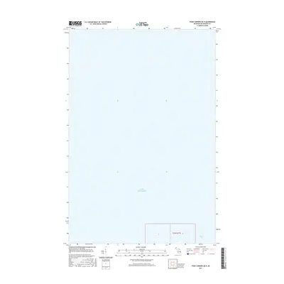
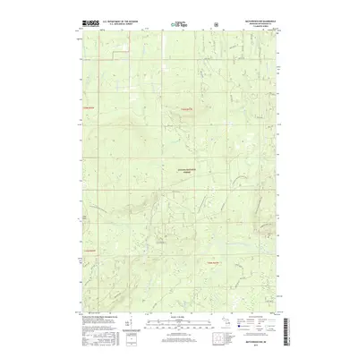
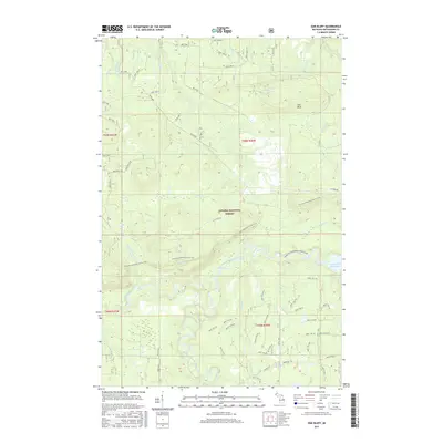
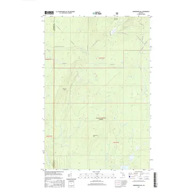
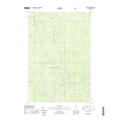
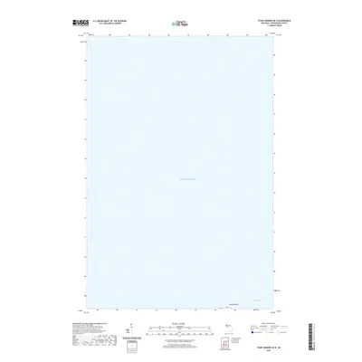
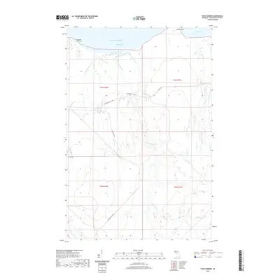
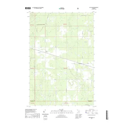
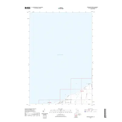
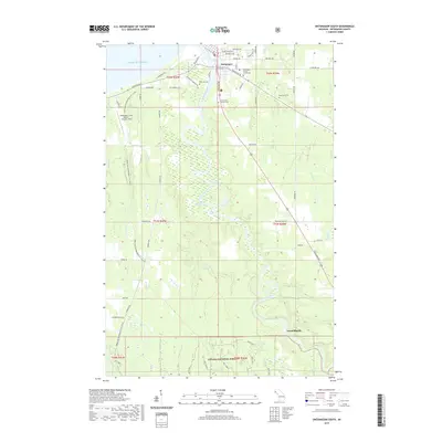
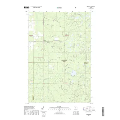
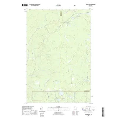
1980 Map of Carp River
USGS Topo · Published 1981About this map
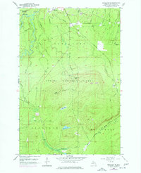
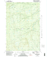
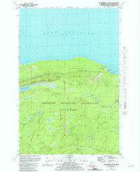
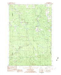
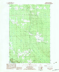
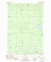
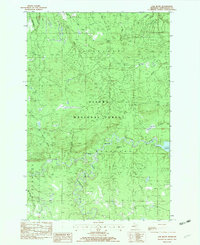
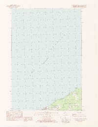
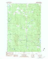
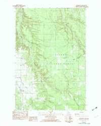
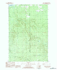
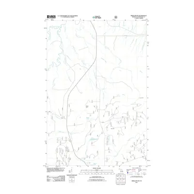
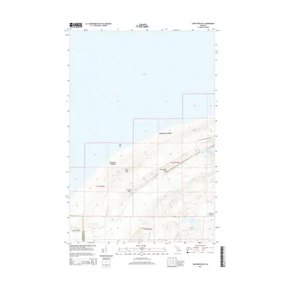
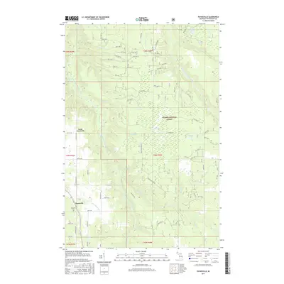
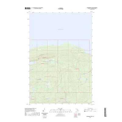
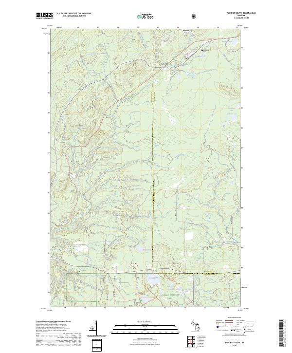
Porcupine Mountains Wilderness State Park dominates this stretch of the Lake Superior shoreline, where the rugged Keweenaw Peninsula terrain meets the water. The landscape is defined by the dramatic Escarpment and high elevations like Green Mountain Peak and Miscowawbic Peak. This 1980 survey captures the area’s transition from a site of early industrial extraction to a protected wilderness, notably marking the Old Lafayette Mine near Lafayette Peak. Significant water features are concentrated in the interior, including the iconic Lake of the Clouds and the secluded Mirror Lake. The primitive transport network of the time is visible through specialized paths such as the Toledo Trail and Pinkerton Trail, which navigate the steep topography between the shore landings and the interior river systems like the Carp River and Washington Creek.
Find a feature on this map
29 named features on this map. Tap any name to fly to it.
Don’t see what you’re looking for? This feature index may not catch every label — zoom into the map to look around manually.
Map Details
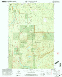
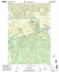
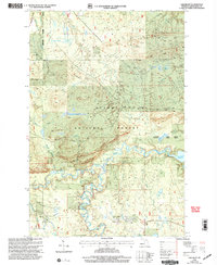
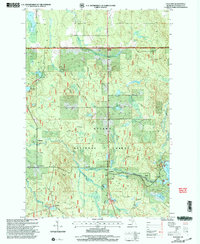
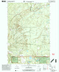
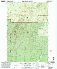
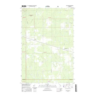
Editions of this 1980 Carp River Map
2 editions found
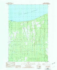
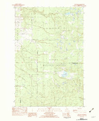
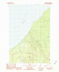
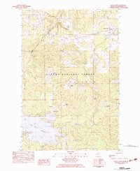
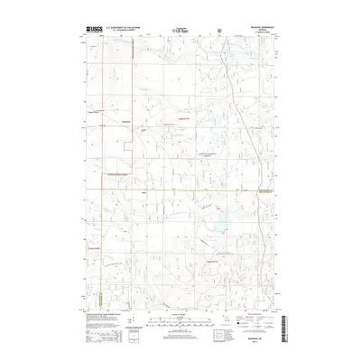
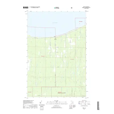
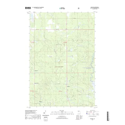
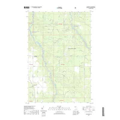
Historical Maps of Wakefield Township Through Time
159 maps found
1949 Bergland NE
Ontonagon County, MI
1949 Matchwood NW
Ontonagon County, MI
1956 Bergland NE
Ontonagon County, MI
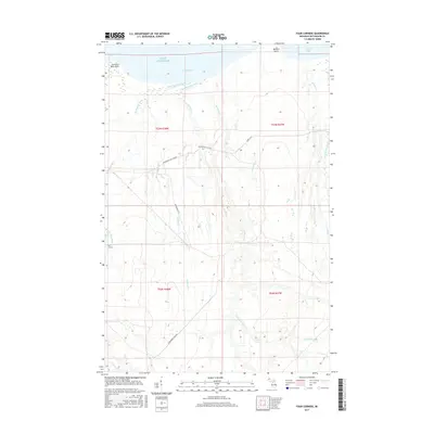
1956 Carp River
Ontonagon County, MI
1956 Matchwood NW
Ontonagon County, MI
1956 Matchwood
Ontonagon County, MI
1980 Carp River
Ontonagon County, MI
1981 Aldridge Creek
Ontonagon County, MI
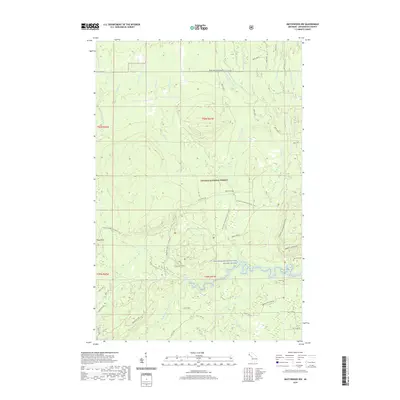
1981 Government Peak
Ontonagon County, MI
1982 Choate
Ontonagon County, MI
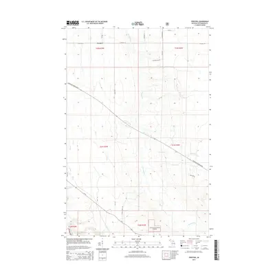
1982 Firesteel
Ontonagon County, MI
1982 Four Corners
Ontonagon County, MI
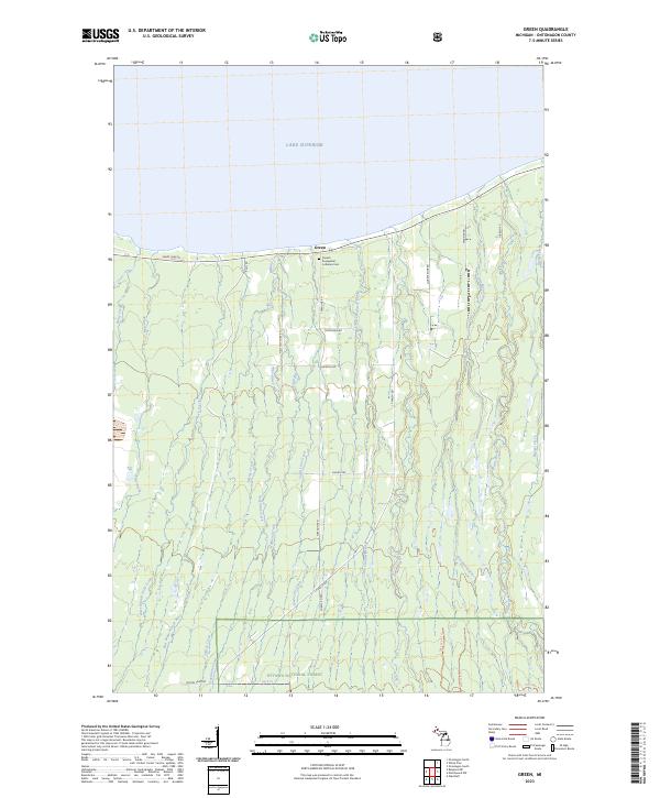
1982 Green
Ontonagon County, MI
1982 Matchwood
Ontonagon County, MI
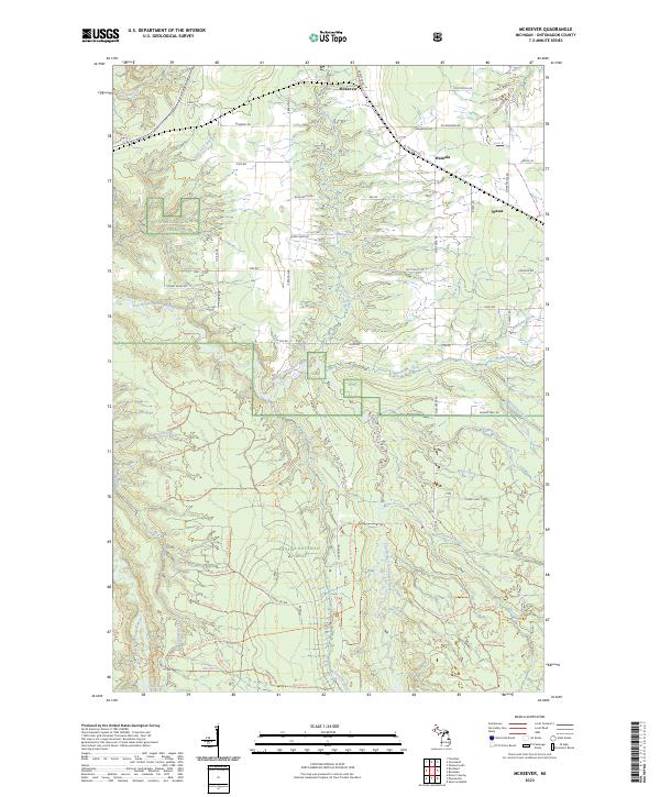
1982 McKeever
Ontonagon County, MI
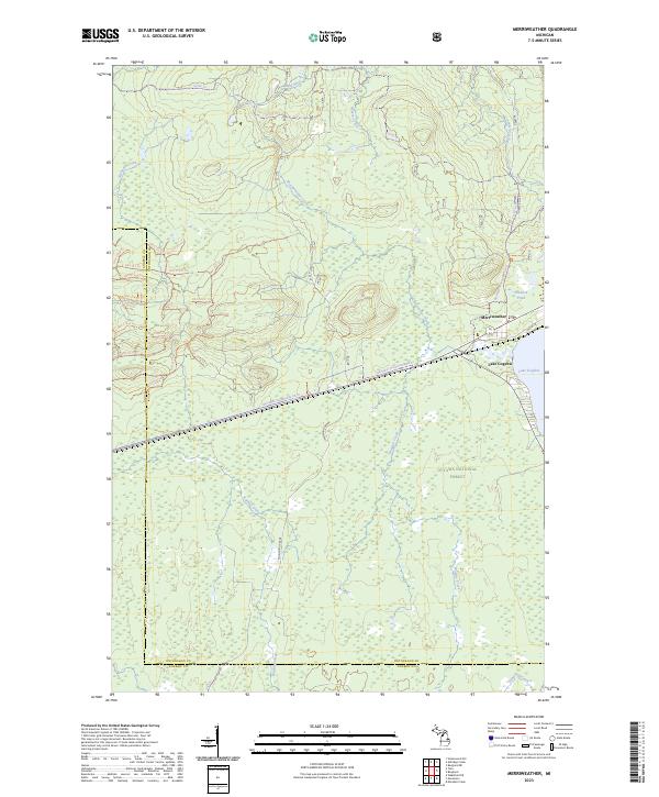
1982 Merriweather
Ontonagon County, MI
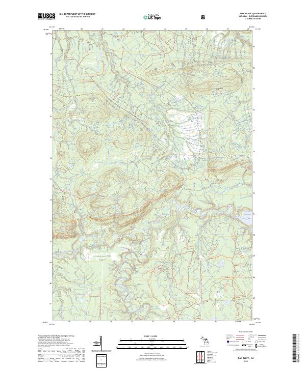
1982 Oak Bluff
Ontonagon County, MI
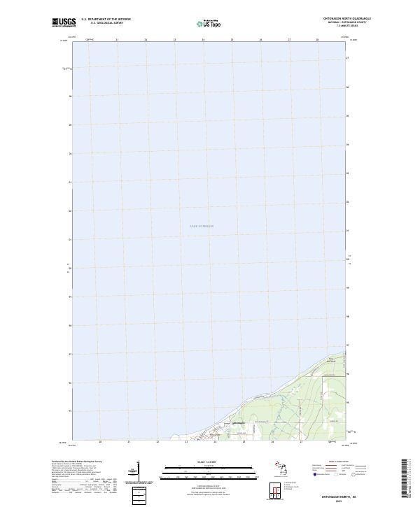
1982 Ontonagon North
Ontonagon County, MI
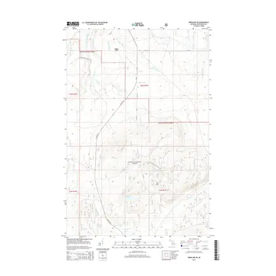
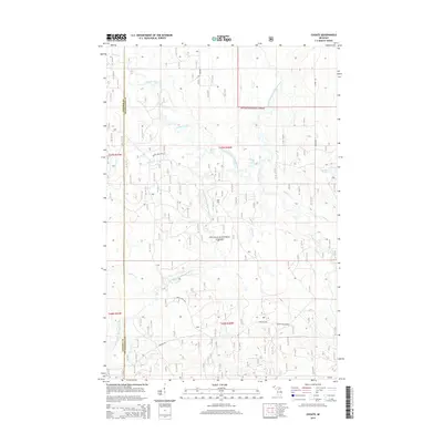
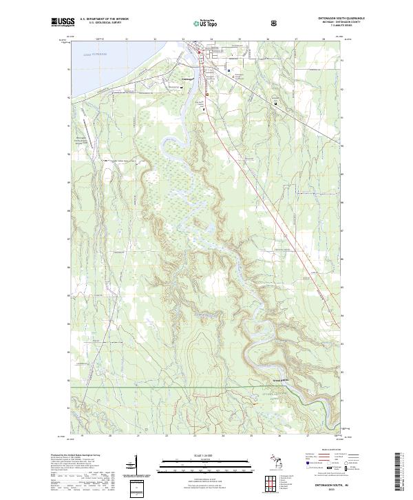
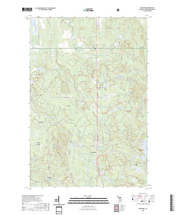
1982 Paulding
Ontonagon County, MI
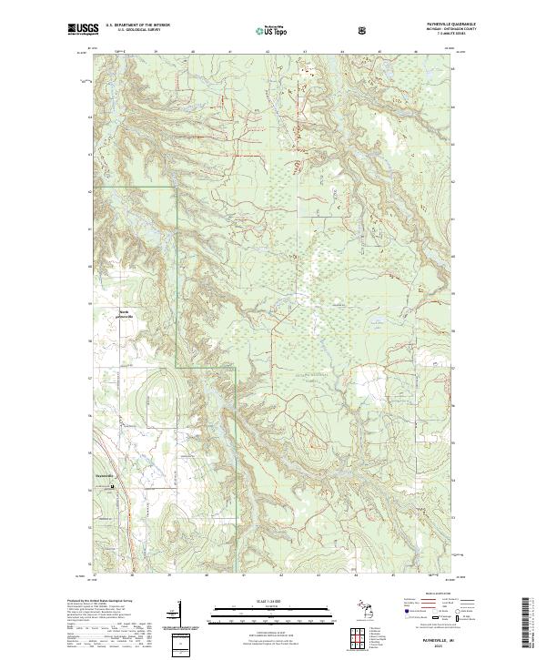
1982 Paynesville
Ontonagon County, MI
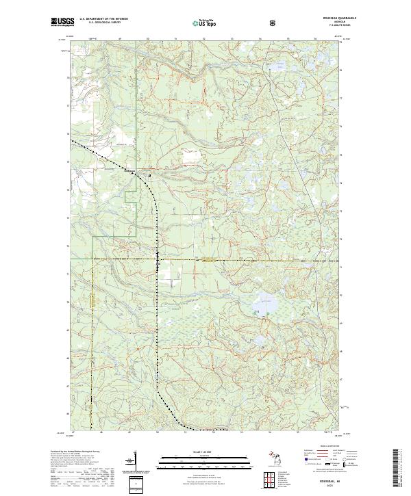
1982 Rousseau
Ontonagon County, MI
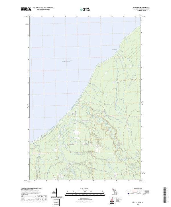
1982 Tenmile Point
Ontonagon County, MI
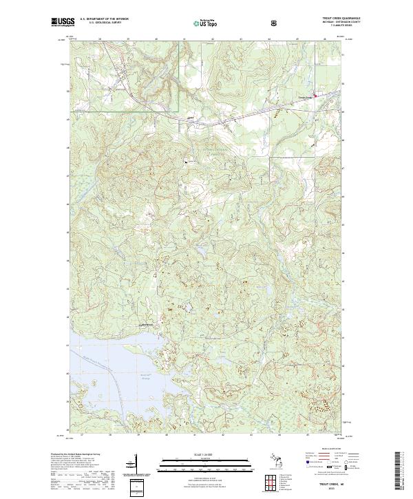
1982 Trout Creek
Ontonagon County, MI
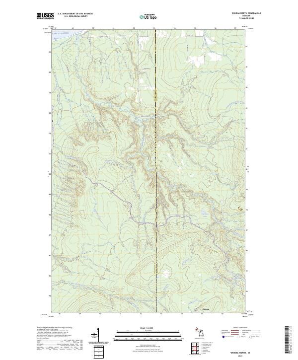
1982 Winona North
Ontonagon County, MI
1982 Winona South
Ontonagon County, MI
1994 Carp River
Ontonagon County, MI
1998 Government Peak
Ontonagon County, MI
1999 Aldridge Creek
Ontonagon County, MI
1999 Bergland NE
Ontonagon County, MI
1999 Choate
Ontonagon County, MI
1999 Matchwood
Ontonagon County, MI
1999 McKeever
Ontonagon County, MI
1999 Merriweather
Ontonagon County, MI
1999 Oak Bluff
Ontonagon County, MI
1999 Paulding
Ontonagon County, MI
1999 Rousseau
Ontonagon County, MI

1999 Trout Creek
Ontonagon County, MI
1999 Winona South
Ontonagon County, MI
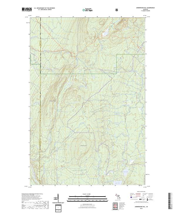
2001 Underwood Hill
Ontonagon County, MI
2011 Aldridge Creek
Ontonagon County, MI
2011 Bergland NE
Ontonagon County, MI
2011 Carp River East
Ontonagon County, MI
2011 Choate
Ontonagon County, MI
2011 Firesteel
Ontonagon County, MI
2011 Four Corners OE N
Ontonagon County, MI
2011 Four Corners
Ontonagon County, MI
2011 Government Peak
Ontonagon County, MI
2011 Green
Ontonagon County, MI
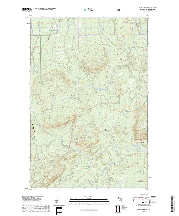
2011 Matchwood NW
Ontonagon County, MI
2011 Matchwood
Ontonagon County, MI
2011 McKeever
Ontonagon County, MI
2011 Merriweather
Ontonagon County, MI
2011 Oak Bluff
Ontonagon County, MI
2011 Ontonagon North
Ontonagon County, MI
2011 Ontonagon South
Ontonagon County, MI
2011 Paulding
Ontonagon County, MI
2011 Paynesville
Ontonagon County, MI
2011 Rousseau
Ontonagon County, MI
2011 Tenmile Point
Ontonagon County, MI
2011 Trout Creek
Ontonagon County, MI
2011 Underwood Hill
Ontonagon County, MI
2011 Winona North
Ontonagon County, MI
2011 Winona South
Ontonagon County, MI
2014 Aldridge Creek
Ontonagon County, MI
2014 Bergland NE
Ontonagon County, MI
2014 Carp River East
Ontonagon County, MI
2014 Choate
Ontonagon County, MI
2014 Firesteel
Ontonagon County, MI
2014 Four Corners OE N
Ontonagon County, MI
2014 Four Corners
Ontonagon County, MI
2014 Government Peak
Ontonagon County, MI
2014 Green
Ontonagon County, MI
2014 Matchwood NW
Ontonagon County, MI
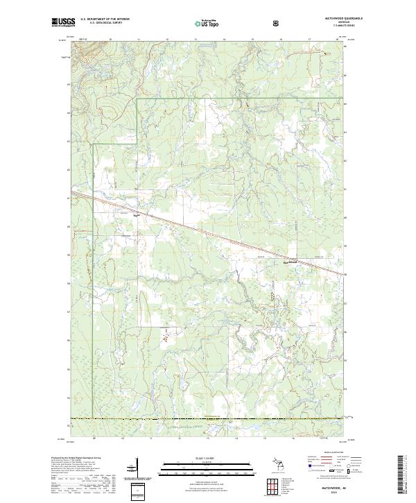
2014 Matchwood
Ontonagon County, MI
2014 McKeever
Ontonagon County, MI
2014 Merriweather
Ontonagon County, MI
2014 Oak Bluff
Ontonagon County, MI
2014 Ontonagon North
Ontonagon County, MI
2014 Ontonagon South
Ontonagon County, MI
2014 Paulding
Ontonagon County, MI
2014 Paynesville
Ontonagon County, MI
2014 Rousseau
Ontonagon County, MI
2014 Tenmile Point
Ontonagon County, MI
2014 Trout Creek
Ontonagon County, MI
2014 Underwood Hill
Ontonagon County, MI
2014 Winona North
Ontonagon County, MI
2014 Winona South
Ontonagon County, MI
2017 Aldridge Creek
Ontonagon County, MI
2017 Bergland NE
Ontonagon County, MI
2017 Carp River East
Ontonagon County, MI
2017 Choate
Ontonagon County, MI
2017 Firesteel
Ontonagon County, MI
2017 Four Corners OE N
Ontonagon County, MI
2017 Four Corners
Ontonagon County, MI
2017 Government Peak
Ontonagon County, MI
2017 Green
Ontonagon County, MI
2017 Matchwood NW
Ontonagon County, MI
2017 Matchwood
Ontonagon County, MI
2017 McKeever
Ontonagon County, MI
2017 Merriweather
Ontonagon County, MI
2017 Oak Bluff
Ontonagon County, MI
2017 Ontonagon North
Ontonagon County, MI
2017 Ontonagon South
Ontonagon County, MI
2017 Paulding
Ontonagon County, MI
2017 Paynesville
Ontonagon County, MI
2017 Rousseau
Ontonagon County, MI
2017 Tenmile Point
Ontonagon County, MI
2017 Trout Creek
Ontonagon County, MI
2017 Underwood Hill
Ontonagon County, MI
2017 Winona North
Ontonagon County, MI
2017 Winona South
Ontonagon County, MI
2019 Aldridge Creek
Ontonagon County, MI
2019 Bergland NE
Ontonagon County, MI
2019 Carp River East
Ontonagon County, MI
2019 Choate
Ontonagon County, MI
2019 Firesteel
Ontonagon County, MI
2019 Four Corners OE N
Ontonagon County, MI
2019 Four Corners
Ontonagon County, MI

2019 Government Peak
Ontonagon County, MI
2019 Green
Ontonagon County, MI
2019 Matchwood NW
Ontonagon County, MI
2019 Matchwood
Ontonagon County, MI
2019 McKeever
Ontonagon County, MI
2019 Merriweather
Ontonagon County, MI
2019 Oak Bluff
Ontonagon County, MI
2019 Ontonagon North
Ontonagon County, MI
2019 Ontonagon South
Ontonagon County, MI
2019 Paulding
Ontonagon County, MI
2019 Paynesville
Ontonagon County, MI
2019 Rousseau
Ontonagon County, MI
2019 Tenmile Point
Ontonagon County, MI
2019 Trout Creek
Ontonagon County, MI
2019 Underwood Hill
Ontonagon County, MI

2019 Winona North
Ontonagon County, MI
2019 Winona South
Ontonagon County, MI
2023 Aldridge Creek
Ontonagon County, MI
2023 Bergland NE
Ontonagon County, MI
2023 Carp River East
Ontonagon County, MI
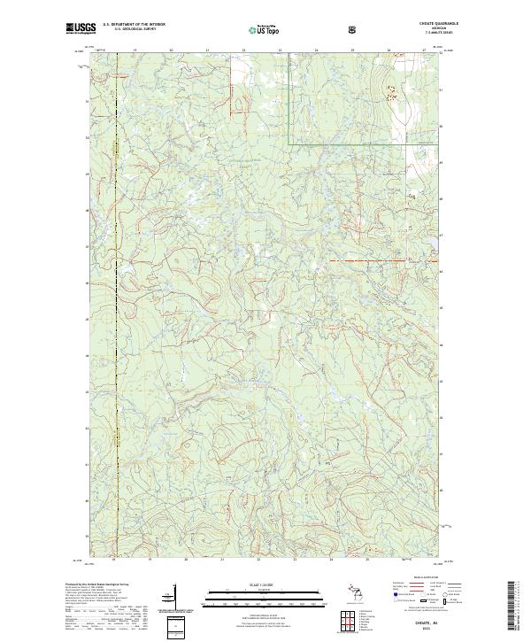
2023 Choate
Ontonagon County, MI
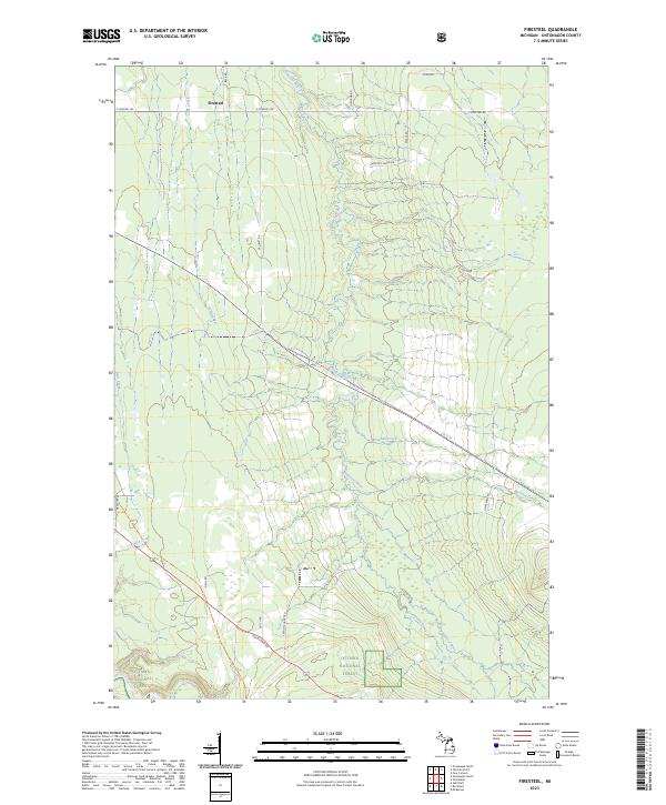
2023 Firesteel
Ontonagon County, MI
2023 Four Corners OE N
Ontonagon County, MI
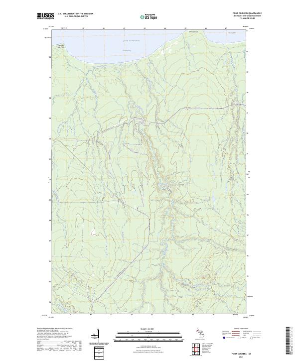
2023 Four Corners
Ontonagon County, MI
2023 Government Peak
Ontonagon County, MI
2023 Green
Ontonagon County, MI
2023 Matchwood NW
Ontonagon County, MI
2023 Matchwood
Ontonagon County, MI
2023 McKeever
Ontonagon County, MI
2023 Merriweather
Ontonagon County, MI
2023 Oak Bluff
Ontonagon County, MI
2023 Ontonagon North
Ontonagon County, MI
2023 Ontonagon South
Ontonagon County, MI
2023 Paulding
Ontonagon County, MI
2023 Paynesville
Ontonagon County, MI
2023 Rousseau
Ontonagon County, MI
2023 Tenmile Point
Ontonagon County, MI
2023 Trout Creek
Ontonagon County, MI
2023 Underwood Hill
Ontonagon County, MI
2023 Winona North
Ontonagon County, MI
2023 Winona South
Ontonagon County, MI