
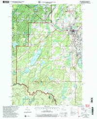
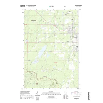
1961 Map of Iron River
USGS Topo · Published 1961About this map
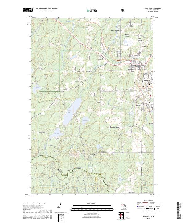
Lake Superior shorelines and the heavy timber of the Ottawa National Forest dominate this regional view from the early 1960s. The landscape is defined by the high elevations of the Porcupine Mts and Huron Mts, which give way to the industrial and mining settlements of Iron River and Crystal Falls. This era shows a well-established transportation network where the Soo Line and Milwaukee Road railroads intersect with burgeoning post-war road systems, connecting remote outposts like White Pine and Silver City. The map reveals the intricate water system of the Upper Peninsula, from the vast Lake Gogebic to the headwaters at Lac Vieux Desert on the Wisconsin border. Between the iron-rich hills and the copper country, the vast Baraga Plains and various state forests indicate the transition from mineral extraction to large-scale timber management and recreational development.
Find a feature on this map
129 named features on this map. Tap any name to fly to it.
Don’t see what you’re looking for? This feature index may not catch every label — zoom into the map to look around manually.
Map Details
Editions of this 1961 Iron River Map
This is the sole edition of this map. No revisions or reprints were ever made.
Historical Maps of Lac du Flambeau Through Time
14 maps found
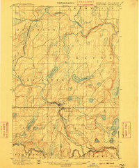
1898 Iron River
Iron County, MI
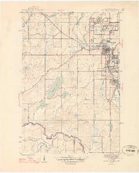
1944 Iron River
Iron County, MI
1946 Iron River
Iron County, MI
1958 Iron River
Iron County, MI

1960 Iron River
Iron County, MI
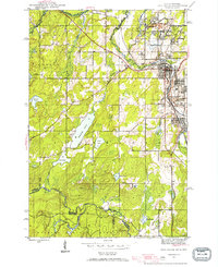
1961 Iron River
Iron County, MI

1967 Iron River
Iron County, MI

1989 Iron River
Iron County, MI
1999 Iron River
Iron County, MI
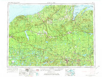
2011 Iron River
Iron County, MI
2014 Iron River
Iron County, MI
2017 Iron River
Iron County, MI
2019 Iron River
Iron County, MI
2023 Iron River
Iron County, MI