Old Maps of Marion Township, Michigan for Metal Detecting
Plan your next treasure hunt with 29 historic maps of Marion Township. Find old homesites, ghost towns, trails, and gathering spots that may be lost to time — perfect for identifying promising metal detecting locations.
- Locate forgotten sites: Uncover places like long-lost settlements, abandoned rail lines, or gathering spots.
- Plan better hunts: Use map overlays combined with LiDAR or satellite views to narrow in on historically rich areas.
- Made for detectorists: Thousands of hobbyists use these maps to discover relics, coins, and hidden history.
Use these historic maps to boost your research and find new opportunities beneath the surface of Marion Township.
Marion Township, MI maps
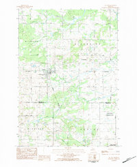
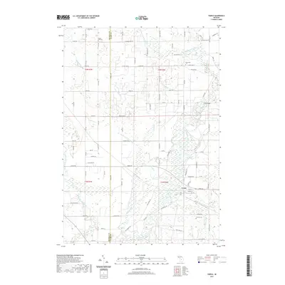
(29)- 1954 Map of Traverse City, 1965 Print
 1954 Traverse City1965 Print · USGSNorthern Michigan’s vast lakeshores and timberlands are captured here in the mid-fifties, showing the region before the modern interstate era. Genealogists and researchers can trace rail connections like the Detroit and Mackinac RR or find old communities such as Suttons Bay, Elk Rapids, and Prudenville.4 unique versions available
 - 1957 Map of Marion, 1958 Print
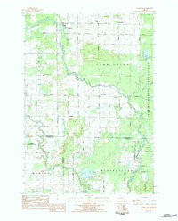
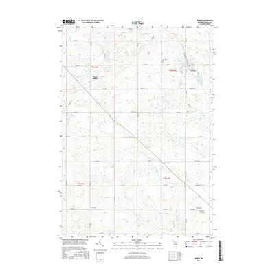
 1957 Marion1958 Print · USGSNorthern Osceola and Missaukee counties are shown here in the late fifties, defined by the Ann Arbor rail line and the Clam River network. Researchers can trace rural landmarks like the Prosper Sch, Greenwood Cem, and the Oil and Gas Storage Field.2 unique versions available
 - 1958 Map of Traverse City
 1958 Traverse City1958 Print · USGSNorthern Lower Michigan was a landscape of vast state forests and burgeoning lakeside retreats in the late fifties. Genealogists and historians can trace the rail corridors of the Ann Arbor RR and find established settlements from Elk Rapids to Houghton Lake.2 unique versions available
 - 1983 Map of Cadillac, 1984 Print
 1983 Cadillac1984 Print · USGSThe Cadillac region in the early eighties was defined by its vast public forests and the prominent dual lakes at its center. Trace the legacies of the timber era along the Old Railroad Grade or locate old rural centers like Vogel Center and Harrietta.
 - 1983 Map of Temple, 1984 Print
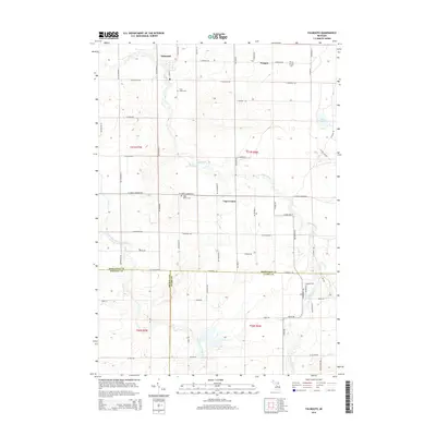
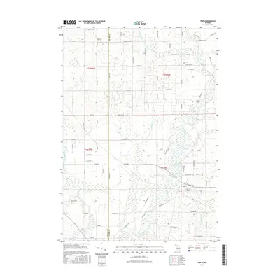
 1983 Temple1984 Print · USGSClare County in the early eighties shows a landscape of river-valley settlements and state timberlands. Researchers can trace local lineages through Lux Cem and Fernwood Cem, or locate landmarks like the Church Bridge and Temple Forest Campground along the Muskegon River.
 - 1983 Map of Falmouth, 1984 Print
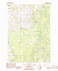
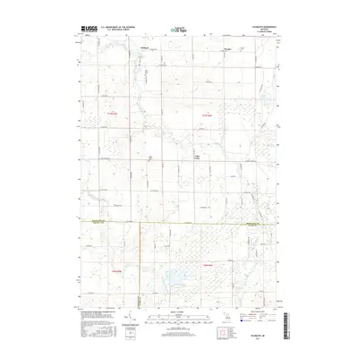
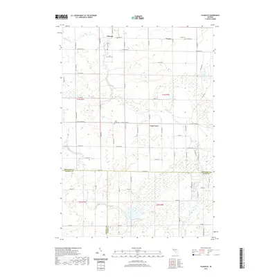
 1983 Falmouth1984 Print · USGSMissaukee and Osceola counties in the early 1980s reveal a landscape of river-bottom farming and emerging energy fields. Genealogists and local historians can trace the rural communities of Falmouth and Vogel Center, locating family landmarks like the Clam Union Cem and Prosper Ch.
 - 1983 Map of Marion, 1984 Print
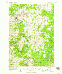
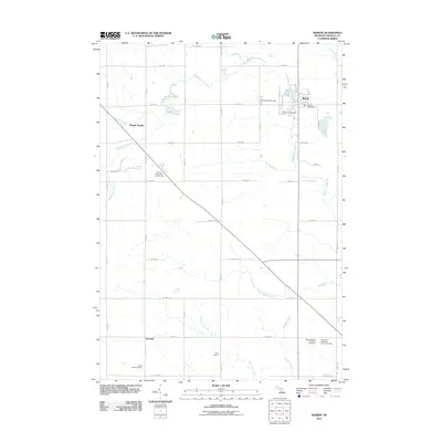
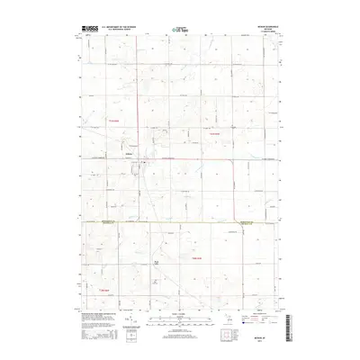
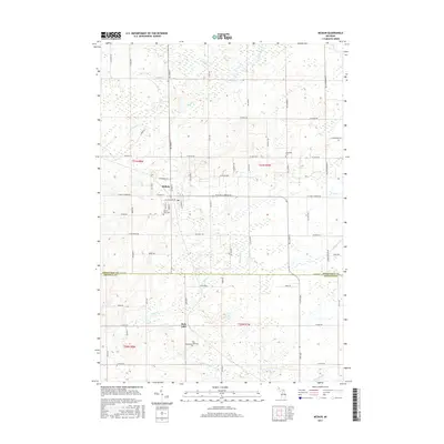
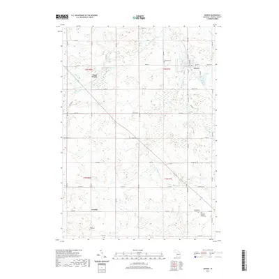
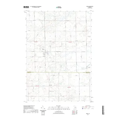
 1983 Marion1984 Print · USGSOsceola County at the start of the eighties shows a landscape of established section-line farming and river-side industry. Researchers can locate family burial plots at Greenwood Cem or Cherry Valley Cem and trace the old Michigan Northern RR Grade through Marion.
 - 1983 Map of McBain, 1984 Print
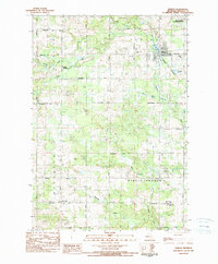
 1983 McBain1984 Print · USGSMcBain and the surrounding townships of Missaukee County appear here in the early eighties as a patchwork of productive farmsteads and managed wetlands. Genealogists can locate family names and burial sites at Mt View Cem, Calvin Ch, and Park Lake Cem.
 - 1989 Map of Traverse City, 1990 Print
 1989 Traverse City1990 Print · USGSNorthern Michigan’s lake-country and forest lands are captured in the late eighties as seasonal tourism and timber hubs expanded. Genealogists and historians can trace the routes of the Ann Arbor RR, the boundaries of Camp Grayling, and settlements like Elk Rapids and Manton.
 - 2011 Map of Falmouth, 2011 Print
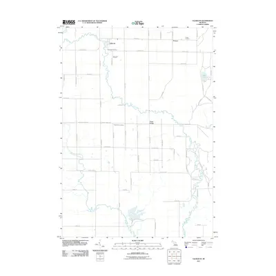 2011 Falmouth2011 Print · USGSCovers Marion Township, including Falmouth, Prosper, and other nearby areas
 - 2011 Map of McBain, 2011 Print
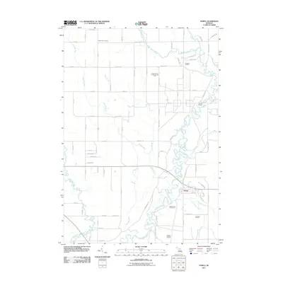
 2011 McBain2011 Print · USGSCovers Marion Township, including McBain, Park Lake, and other nearby areas
 - 2011 Map of Temple, 2011 Print
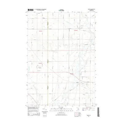
 2011 Temple2011 Print · USGSCovers Marion Township, including Redding Township, Winterfield Township, and other nearby areas
 - 2011 Map of Marion, 2011 Print
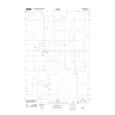
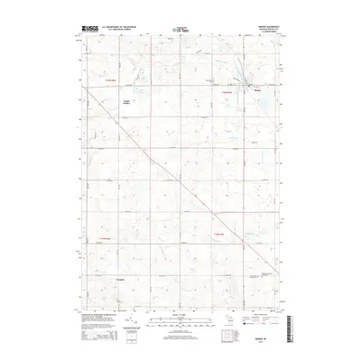
 2011 Marion2011 Print · USGSCovers Marion Township, including Marion, Avondale, and other nearby areas
 - 2014 Map of Marion, 2014 Print
 2014 Marion2014 Print · USGSCovers Marion Township, including Marion, Avondale, and other nearby areas
 - 2014 Map of Temple, 2014 Print
 2014 Temple2014 Print · USGSCovers Marion Township, including Redding Township, Winterfield Township, and other nearby areas
 - 2014 Map of Falmouth, 2014 Print
 2014 Falmouth2014 Print · USGSCovers Marion Township, including Falmouth, Prosper, and other nearby areas
 - 2014 Map of McBain, 2014 Print
 2014 McBain2014 Print · USGSCovers Marion Township, including McBain, Park Lake, and other nearby areas
 - 2017 Map of Marion, 2017 Print
 2017 Marion2017 Print · USGSCovers Marion Township, including Marion, Avondale, and other nearby areas
 - 2017 Map of Falmouth, 2017 Print
 2017 Falmouth2017 Print · USGSCovers Marion Township, including Falmouth, Prosper, and other nearby areas
 - 2017 Map of McBain, 2017 Print
 2017 McBain2017 Print · USGSCovers Marion Township, including McBain, Park Lake, and other nearby areas
 - 2017 Map of Temple, 2017 Print
 2017 Temple2017 Print · USGSCovers Marion Township, including Redding Township, Winterfield Township, and other nearby areas
 - 2019 Map of Falmouth, 2019 Print
 2019 Falmouth2019 Print · USGSCovers Marion Township, including Falmouth, Prosper, and other nearby areas
 - 2019 Map of Marion, 2019 Print
 2019 Marion2019 Print · USGSCovers Marion Township, including Marion, Avondale, and other nearby areas
 - 2019 Map of McBain, 2019 Print
 2019 McBain2019 Print · USGSCovers Marion Township, including McBain, Park Lake, and other nearby areas
 - 2019 Map of Temple, 2019 Print
 2019 Temple2019 Print · USGSCovers Marion Township, including Redding Township, Winterfield Township, and other nearby areas
Showing maps 1-25 of 29
Top cities near Marion Township
- Cadillac historical maps
- Haring Township historical maps
- Evart historical maps
- Highland historical maps
- Lake City historical maps
- Marion historical maps
See more
Top neighborhoods of Marion Township
Frequently asked questions
- What are the different types of historical maps available for Marion Township?
- What is the oldest map of Marion Township?
- Where can I purchase historical maps of Marion Township for my home or office?
- Where can I download high-res historical maps of Marion Township?
- Are there historical topographic maps available for Marion Township?
- Is there historical aerial imagery available for Marion Township?
- Where are historical maps of Marion Township sourced from?