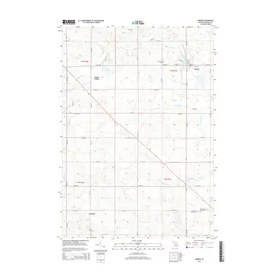
2014 Map of Marion
USGS Topo · Published 2014About this map
The Middle Br River winds through the village of Marion, anchoring a landscape defined by its agricultural grid and the glacial terrain of northern Osceola County. The village center is closely tied to the Mill Pond, with a network of residential streets like Lakeshore Dr and W Main St branching out into the surrounding township. This 2014 survey reveals a region rich in family and community history, evidenced by several rural burial grounds including Greenwood Cem, Cherry Valley Cem, and the Mid Branch Township Cem.
Find a feature on this map
47 named features on this map. Tap any name to fly to it.
Don’t see what you’re looking for? This feature index may not catch every label — zoom into the map to look around manually.
Map Details
Editions of this 2014 Marion Map
This is the sole edition of this map. No revisions or reprints were ever made.
Other maps of this area

1954 · Traverse City
USGS Topo · 1:250,000

1954 · Midland
USGS Topo · 1:250,000

1957 · Cadillac South
USGS Topo · 1:62,500

1957 · Marion
USGS Topo · 1:62,500

1958 · Traverse City
USGS Topo · 1:250,000

1958 · Midland
USGS Topo · 1:250,000

1959 · Midland
USGS Topo · 1:250,000

1959 · Lake
USGS Topo · 1:62,500

1959 · Evart
USGS Topo · 1:62,500

1966 · Midland
USGS Topo · 1:250,000