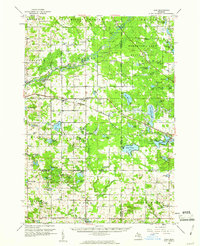
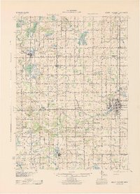
1959 Map of Lake
USGS Topo · Published 1960About this map
Sears and Gibos Corners anchor the rural landscape of this late 1950s survey, a period when the timberlands and headwaters of Central Michigan were interspersed with active oil production. The Chippewa River and the Muskegon River meander through the Houghton Lake State Forest and Sylvan State Forest, while the Chesapeake and Ohio railroad serves as the primary industrial artery for the region.
Find a feature on this map
111 named features on this map. Tap any name to fly to it.
Don’t see what you’re looking for? This feature index may not catch every label — zoom into the map to look around manually.
Map Details
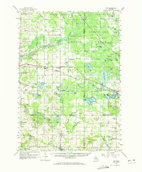
Editions of this 1959 Lake Map
2 editions found
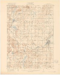
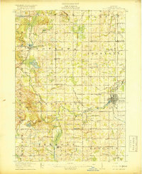
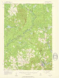
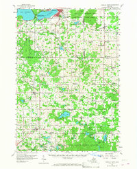
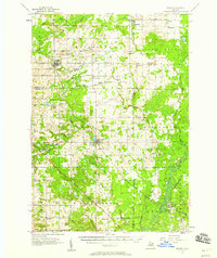
Other maps of this area
1916 · Mount Pleasant
USGS Topo · 1:62,500
1919 · Mount Pleasant
USGS Topo · 1:62,500
1943 · Mount Pleasant
USGS Topo · 1:62,500

1954 · Traverse City
USGS Topo · 1:250,000

1954 · Midland
USGS Topo · 1:250,000
1957 · Harrison
USGS Topo · 1:62,500
1957 · Cadillac South
USGS Topo · 1:62,500
1957 · Marion
USGS Topo · 1:62,500

1958 · Traverse City
USGS Topo · 1:250,000

1958 · Midland
USGS Topo · 1:250,000
Featured Places
- Barryton, Fork Township
- Evart Township, MI
- Hartwick Township, MI
- Chippewa Township, MI
- Sylvan Township, MI