Old Maps of Chester Township, Michigan for Academic Research
Study the evolution of Chester Township with 31 high-resolution historic maps. Whether you're teaching, researching, or modeling changes in land use, these maps provide essential visual documentation of urban, environmental, and geographic change.
- Analyze long-term change: Track patterns in development, transportation, and natural features.
- Ideal for environmental or urban studies: Support academic projects with primary historical map data.
- Use in the classroom or lab: Educators and researchers rely on these maps to bring historical context to life.
These maps are a powerful tool for teaching, research, and visualizing how Chester Township has changed over the decades.
Chester Township, MI maps
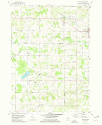
(31)- 1945 Map of Ravenna, 1947 Print
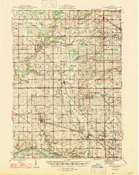 1945 Ravenna1947 Print · USGSNear the close of the war years, this area north of the Grand River was a bustling network of small farming towns and rural school districts. Genealogists and local historians can trace the foundations of Coopersville, Ravenna, and Conklin, or locate family sites near McNitt Cem and Hoogstraat Sch.3 unique versions available
 - 1954 Map of Midland, 1967 Print
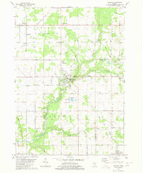
 1954 Midland1967 Print · USGSMid-Michigan at the peak of the post-war era shows a landscape balancing industrial growth in Midland with the deep timberlands of the Manistee National Forest. Researchers can trace the legacy of the timber and rail era along the Pennsylvania RR or find family roots in river towns like Chesaning and Big Rapids.4 unique versions available
 - 1958 Map of Midland
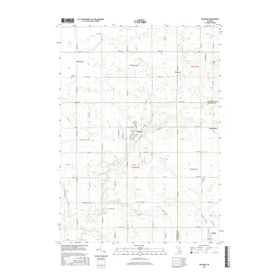
 1958 Midland1958 Print · USGSCentral Michigan in the late fifties is captured here during a period of transition for its university towns and industrial hubs. Genealogists and researchers can trace family lines through old rail-stop towns like Breckenridge and Chesaning or locate property near the Muskegon River and Prairie Farm.
 - 1959 Map of Midland
 1959 Midland1959 Print · USGSMid-century Michigan comes alive in this survey of the central Lower Peninsula, from the streets of Grand Rapids to the Houghton Lake timberlands. Genealogists and rail fans can trace the Ann Arbor RR and Chesapeake and Ohio RR through towns like Big Rapids and Mount Pleasant.
 - 1966 Map of Midland
 1966 Midland1966 Print · USGSCentral Michigan in the mid-1960s shows a landscape of growing manufacturing hubs and active resource extraction. Genealogists and historians can trace the rail corridors of the Grand Trunk Western or locate family-named landmarks near Oil wells and the Muskegon River.
 - 1980 Map of Ravenna
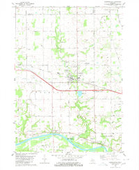
 1980 Ravenna1980 Print · USGSThe rural landscapes of Muskegon and Ottawa counties are captured here in the 1970s. Trace family history at McNitt Cemetery, explore the Old Railroad Grade, or locate the Wayside Chapel near Ravenna.
 - 1980 Map of Coopersville
 1980 Coopersville1980 Print · USGSThe Grand River valley in the early eighties shows a landscape shaped by both the river's edge and the rail line. Researchers can locate family sites near Coopersville Cemetery, trace the Grand Trunk Western railroad, or find the riverside settlement of Eastmanville.
 - 1980 Map of Marne
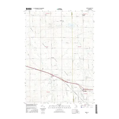
 1980 Marne1980 Print · USGSThe West Michigan landscape of the late 1970s reveals a mix of growing townships and traditional farming centers near Marne. Genealogists and local historians can trace the foundations of the community at St Marys Ch, Wells Cem, and Walker Station Sch.2 unique versions available
 - 1980 Map of Casnovia, 1981 Print
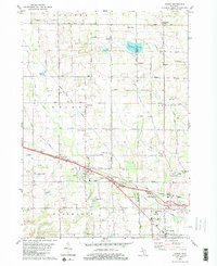
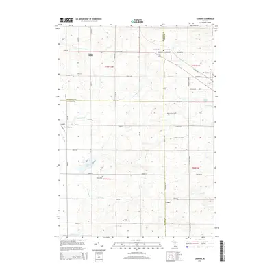
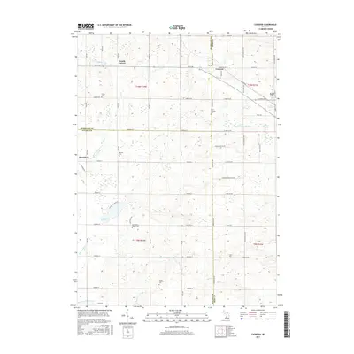
 1980 Casnovia1981 Print · USGSThe West Michigan borderlands of Kent and Muskegon counties are captured here in the early 1980s as traditional farming and local rail lines shaped the landscape. Researchers can trace family-named landmarks like Hilton Cem, early settlements at Lisbon, and rural centers like North Chester Ch.
 - 1985 Map of Cedar Springs
 1985 Cedar Springs1985 Print · USGSThe northern reaches of the Grand Rapids metro area meet the forests of the Manistee during the mid-eighties. Genealogists and historians can trace the paths of the Grand Trunk Western RR through Sparta or locate rural landmarks near Cedar Springs and Rockford.
 - 1986 Map of Cedar Springs, 1989 Print
 1986 Cedar Springs1989 Print · USGSThe northern suburbs of Grand Rapids meet the Manistee National Forest in the mid-1980s. Genealogists and historians can trace the rail-side growth of Howard City, Rockford, and Greenville along the C & O RR and Flat River.
 - 2011 Map of Ravenna, 2011 Print
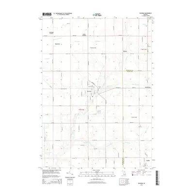
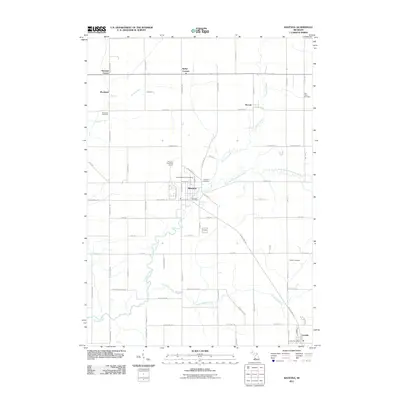 2011 Ravenna2011 Print · USGSCovers Chester Township, including Moorland, Ravenna, and other nearby areas
 - 2011 Map of Marne, 2011 Print
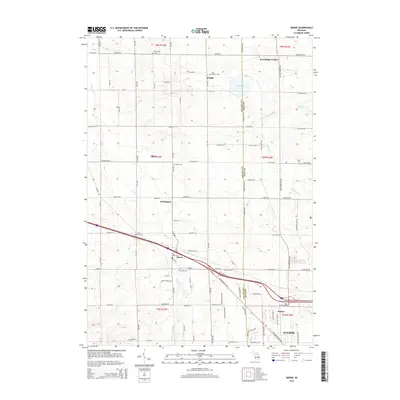
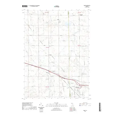
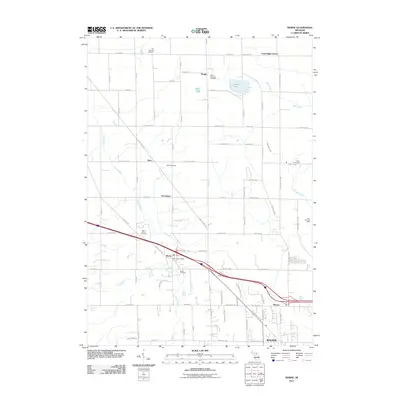 2011 Marne2011 Print · USGSCovers Chester Township, including Walker, Alpine Township, and other nearby areas
 - 2011 Map of Casnovia, 2011 Print
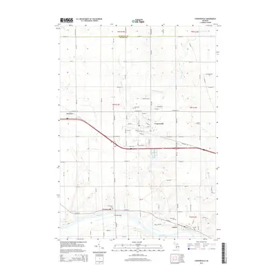
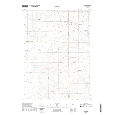
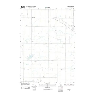 2011 Casnovia2011 Print · USGSCovers Chester Township, including Casnovia, Kent City, and other nearby areas
 - 2011 Map of Coopersville, 2011 Print
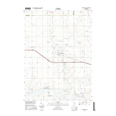
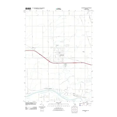 2011 Coopersville2011 Print · USGSCovers Chester Township, including Coopersville, Ravenna Township, and other nearby areas
 - 2014 Map of Marne, 2014 Print
 2014 Marne2014 Print · USGSCovers Chester Township, including Walker, Alpine Township, and other nearby areas
 - 2014 Map of Ravenna, 2014 Print
 2014 Ravenna2014 Print · USGSCovers Chester Township, including Moorland, Ravenna, and other nearby areas
 - 2014 Map of Coopersville, 2014 Print
 2014 Coopersville2014 Print · USGSCovers Chester Township, including Coopersville, Ravenna Township, and other nearby areas
 - 2014 Map of Casnovia, 2014 Print
 2014 Casnovia2014 Print · USGSCovers Chester Township, including Casnovia, Kent City, and other nearby areas
 - 2017 Map of Ravenna, 2017 Print
 2017 Ravenna2017 Print · USGSCovers Chester Township, including Moorland, Ravenna, and other nearby areas
 - 2017 Map of Marne, 2017 Print
 2017 Marne2017 Print · USGSCovers Chester Township, including Walker, Alpine Township, and other nearby areas
 - 2017 Map of Casnovia, 2017 Print
 2017 Casnovia2017 Print · USGSCovers Chester Township, including Casnovia, Kent City, and other nearby areas
 - 2017 Map of Coopersville, 2017 Print
 2017 Coopersville2017 Print · USGSCovers Chester Township, including Coopersville, Ravenna Township, and other nearby areas
 - 2019 Map of Marne, 2019 Print
 2019 Marne2019 Print · USGSCovers Chester Township, including Walker, Alpine Township, and other nearby areas
 - 2019 Map of Casnovia, 2019 Print
 2019 Casnovia2019 Print · USGSCovers Chester Township, including Casnovia, Kent City, and other nearby areas
Showing maps 1-25 of 31
Top cities near Chester Township
- Grand Rapids historical maps
- Wyoming historical maps
- Kentwood historical maps
- Plainfield Charter Township historical maps
- Walker historical maps
- Alpine Township historical maps
See more
Top neighborhoods of Chester Township
Frequently asked questions
- What are the different types of historical maps available for Chester Township?
- What is the oldest map of Chester Township?
- Where can I purchase historical maps of Chester Township for my home or office?
- Where can I download high-res historical maps of Chester Township?
- Are there historical topographic maps available for Chester Township?
- Is there historical aerial imagery available for Chester Township?
- Where are historical maps of Chester Township sourced from?