Old Maps of Hudsonville, Michigan for Academic Research
Study the evolution of Hudsonville with 29 high-resolution historic maps. Whether you're teaching, researching, or modeling changes in land use, these maps provide essential visual documentation of urban, environmental, and geographic change.
- Analyze long-term change: Track patterns in development, transportation, and natural features.
- Ideal for environmental or urban studies: Support academic projects with primary historical map data.
- Use in the classroom or lab: Educators and researchers rely on these maps to bring historical context to life.
These maps are a powerful tool for teaching, research, and visualizing how Hudsonville has changed over the decades.
Hudsonville, MI maps
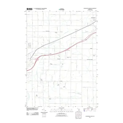
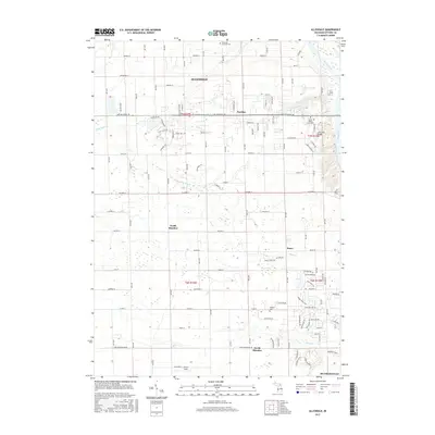
(29)- 1958 Map of Allendale, 1959 Print
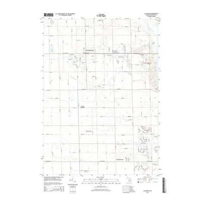
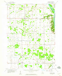 1958 Allendale1959 Print · USGSOttawa County's agricultural heartland is documented here in the late fifties, framed by the steep bluffs of the Grand River. Genealogists can trace rural life through landmarks like White Sch No 2, St. John Ch, and the Township Cem.2 unique versions available
 - 1958 Map of Grandville, 1959 Print
 1958 Grandville1959 Print · USGSOttawa and Allegan counties are captured here in the late fifties, showing a landscape of small towns and rural school districts connected by the Grand River. Researchers can trace family roots through the many local landmarks, including the Zutphen Cem, Hanley Sch, and South Blendon.2 unique versions available
 - 1958 Map of Grandville, 1960 Print
 1958 Grandville1960 Print · USGSMid-century Kent and Ottawa Counties come alive in this survey of the Grand River valley at a time of suburban expansion. Researchers can locate vanished landmarks like the Drive-in Theater or trace family roots through the Jenison Cem and numerous local schools like Bursley Sch.3 unique versions available
 - 1958 Map of Grand Rapids, 1973 Print
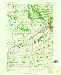
 1958 Grand Rapids1973 Print · USGSSouthern Michigan at the peak of the postwar era shows a landscape of burgeoning cities and new interstate highways. Trace family roots and regional growth in Grand Rapids, Battle Creek, and the glacial lake country around Gun Lake or Gull Lake.2 unique versions available
 - 1961 Map of Grand Rapids
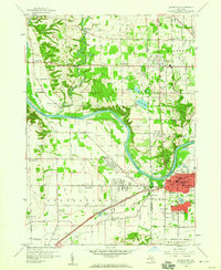
 1961 Grand Rapids1961 Print · USGSSouthern Michigan at the dawn of the 1960s reveals a region shaped by major river systems and a robust rail network. Trace mid-century industrial growth and land use from Grand Rapids to the Fort Custer Military Reservation and Gun Lake.
 - 1962 Map of Grand Rapids
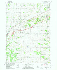
 1962 Grand Rapids1962 Print · USGSMid-century Southern Michigan is mapped here at a time of massive growth, showing the expanding urban footprints of Grand Rapids and Lansing. Researchers can trace the legacy of the Grand Trunk Western RR, find historic boundaries of the Fort Custer Military Reservation, or locate sporting camps around Gun Lake.2 unique versions available
 - 1980 Map of Hudsonville West
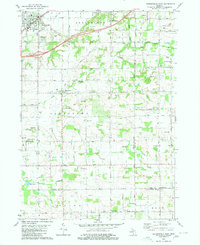
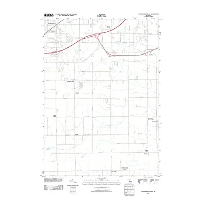
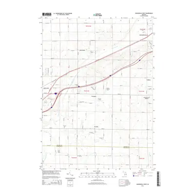
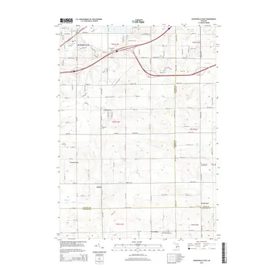
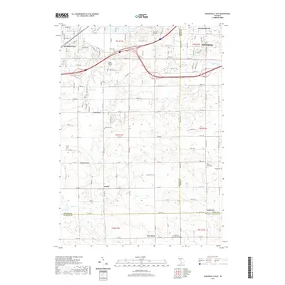
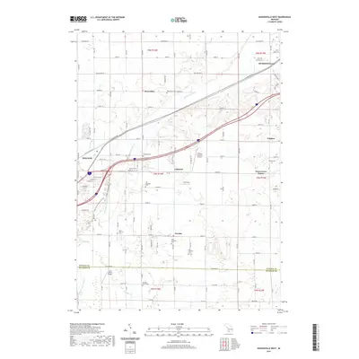
 1980 Hudsonville West1980 Print · USGSThe Ottawa County farming country south of the Grand River was transitioning between its rural roots and suburban growth in the 1970s. Genealogists can trace family names through landmarks like Beaverdam Cem and the small rail stop at Forest Grove Station.
 - 1980 Map of Hudsonville East
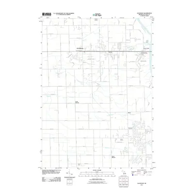
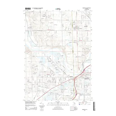
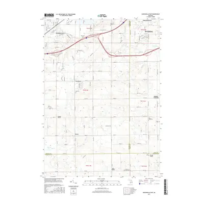
 1980 Hudsonville East1980 Print · USGSOttawa County in the mid-seventies shows a mix of growing suburban hubs and active rural industry. Genealogists and historians can trace family plots at Jamestown Cem or explore the southern Oil and Gas Field near New Salem.
 - 1984 Map of Grand Rapids
 1984 Grand Rapids1984 Print · USGSWest Michigan in the mid-eighties shows a thriving metropolitan core surrounded by expansive state recreation areas and river valleys. Genealogists and local historians can trace developments around Grand Rapids, institutional landmarks like Grand Rapids Bible College, and the quiet reaches of Jordan Lake.
 - 2011 Map of Hudsonville West, 2011 Print
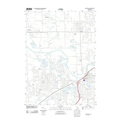
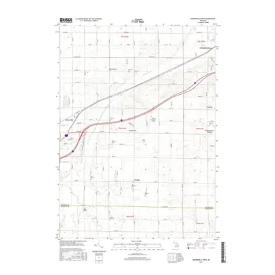
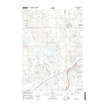
 2011 Hudsonville West2011 Print · USGSCovers Hudsonville, including Zeeland, Blendon Township, and other nearby areas
 - 2011 Map of Allendale, 2011 Print
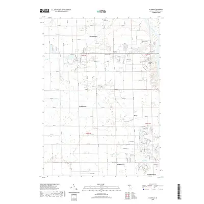
 2011 Allendale2011 Print · USGSCovers Hudsonville, including Blendon Township, Georgetown Charter Township, and other nearby areas
 - 2011 Map of Grandville, 2011 Print
 2011 Grandville2011 Print · USGSCovers Hudsonville, including Grand Rapids, Wyoming, and other nearby areas
 - 2011 Map of Hudsonville East, 2011 Print
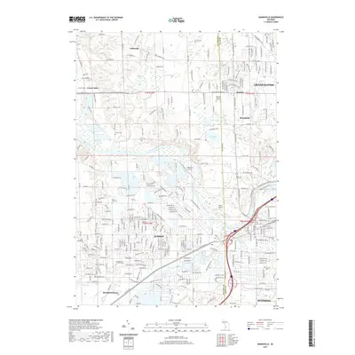
 2011 Hudsonville East2011 Print · USGSCovers Hudsonville, including Wyoming, Byron Township, and other nearby areas
 - 2014 Map of Grandville, 2014 Print
 2014 Grandville2014 Print · USGSCovers Hudsonville, including Grand Rapids, Wyoming, and other nearby areas
 - 2014 Map of Allendale, 2014 Print
 2014 Allendale2014 Print · USGSCovers Hudsonville, including Blendon Township, Georgetown Charter Township, and other nearby areas
 - 2014 Map of Hudsonville West, 2014 Print
 2014 Hudsonville West2014 Print · USGSCovers Hudsonville, including Zeeland, Blendon Township, and other nearby areas
 - 2014 Map of Hudsonville East, 2014 Print
 2014 Hudsonville East2014 Print · USGSCovers Hudsonville, including Wyoming, Byron Township, and other nearby areas
 - 2017 Map of Hudsonville East, 2017 Print
 2017 Hudsonville East2017 Print · USGSCovers Hudsonville, including Wyoming, Byron Township, and other nearby areas
 - 2017 Map of Allendale, 2017 Print
 2017 Allendale2017 Print · USGSCovers Hudsonville, including Blendon Township, Georgetown Charter Township, and other nearby areas
 - 2017 Map of Hudsonville West, 2017 Print
 2017 Hudsonville West2017 Print · USGSCovers Hudsonville, including Zeeland, Blendon Township, and other nearby areas
 - 2017 Map of Grandville, 2017 Print
 2017 Grandville2017 Print · USGSCovers Hudsonville, including Grand Rapids, Wyoming, and other nearby areas
 - 2019 Map of Allendale, 2019 Print
 2019 Allendale2019 Print · USGSCovers Hudsonville, including Blendon Township, Georgetown Charter Township, and other nearby areas
 - 2019 Map of Hudsonville East, 2019 Print
 2019 Hudsonville East2019 Print · USGSCovers Hudsonville, including Wyoming, Byron Township, and other nearby areas
 - 2019 Map of Grandville, 2019 Print
 2019 Grandville2019 Print · USGSCovers Hudsonville, including Grand Rapids, Wyoming, and other nearby areas
 - 2019 Map of Hudsonville West, 2019 Print
 2019 Hudsonville West2019 Print · USGSCovers Hudsonville, including Zeeland, Blendon Township, and other nearby areas
Showing maps 1-25 of 29
Top cities near Hudsonville
- Grand Rapids historical maps
- Wyoming historical maps
- Kentwood historical maps
- Holland historical maps
- Plainfield Charter Township historical maps
- Gaines Charter Township historical maps
See more
Frequently asked questions
- What are the different types of historical maps available for Hudsonville?
- What is the oldest map of Hudsonville?
- Where can I purchase historical maps of Hudsonville for my home or office?
- Where can I download high-res historical maps of Hudsonville?
- Are there historical topographic maps available for Hudsonville?
- Is there historical aerial imagery available for Hudsonville?
- Where are historical maps of Hudsonville sourced from?