Old Maps of Olive Township, Michigan for Hiking & Exploration
Hike through history with 29 historic maps of Olive Township. Explore old trails, ghost towns, and forgotten backroads — perfect for outdoor adventurers and local explorers.
- Rediscover forgotten places: Map out old mining camps, roads, and footpaths that no longer exist on modern maps.
- Layer with modern tools: Combine with LiDAR or satellite views to plan hikes through historical terrain.
- Made for exploration: Popular among hikers, overlanders, and local history lovers.
Use these maps to find adventure and explore the hidden past of Olive Township.
Olive Township, MI maps
(29)- 1929 Map of Holland, 1959 Print
 1929 Holland1959 Print · USGSThe Lake Michigan shoreline and the city of Holland appear here as they were in the late 1920s. Local researchers can trace the historic lakefront developments and rural landmarks including Getz Lakewood Farm, the Waukantanka Lodge, and the Pere Marquette rail lines.2 unique versions available
 - 1932 Map of Holland
 1932 Holland1932 Print · USGSThe Lake Michigan shoreline and the growing city of Holland are captured here in the early 1930s. Trace the lakefront resorts and rural schoolhouses that once dotted the landscape, from Getz Lakewood Farm to the Harderwyk Sch and Noordeloos.2 unique versions available
 - 1958 Map of Racine, 1971 Print
 1958 Racine1971 Print · USGSThe Lake Michigan shoreline in the late fifties was a study in contrasts between the industrial bustle of Kenosha and the quiet woods of the Allegan State Forest. Genealogists and historians can trace the urban footprint of Evanston or locate strategic sites like Fort Sheridan and the Wind Point Light.3 unique versions available
 - 1962 Map of Racine
 1962 Racine1962 Print · USGSThe Lake Michigan shoreline in the early sixties reveals a fascinating contrast between the dense industrial rail hubs of RACINE and CHICAGO and the forested dunes of Michigan. Local historians can trace military installations like Fort Sheridan or explore the numerous inland retreats around Paw Paw Lake and Sister Lakes.
 - 1972 Map of Holland East, 1975 Print
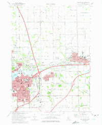 1972 Holland East1975 Print · USGSOttawa County communities are captured here in the early seventies, showing the established neighborhoods of Holland and Zeeland. Genealogists and historians can trace institutional roots at Hope College or locate family plots in Pilgrim Home Cemetery and Noordeloos Cem.2 unique versions available
 - 1972 Map of Port Sheldon, 1975 Print
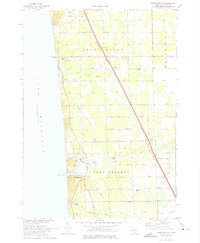 1972 Port Sheldon1975 Print · USGSOttawa County's Lake Michigan shoreline appears here in the early seventies, showing a landscape defined by the Pigeon River and diagonal rail lines. Genealogists can trace families near West Olive, Harlem, and Immanuel Ch.2 unique versions available
 - 1972 Map of Borculo, 1975 Print
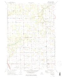 1972 Borculo1975 Print · USGSOttawa County's rural townships are shown here in the early 1970s, as long-standing farming communities like Borculo and Olive Center continued to thrive. Genealogists can trace family locations near the West Olive Cem, the Christian Sch, and the Chesapeake and Ohio rail line.2 unique versions available
 - 1972 Map of Holland West, 1975 Print
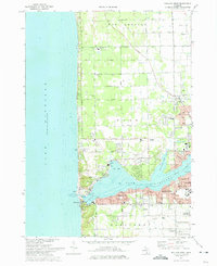 1972 Holland West1975 Print · USGSCoastal Michigan in the early seventies shows the bustling harbor at Lake Macatawa alongside quiet inland settlements. Genealogists and local historians can locate Graafschap Cem, the Park Township Airport, and old landmarks in New Holland.
 - 1982 Map of Holland
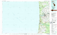 1982 Holland1982 Print · USGSThe Lake Michigan coast in the early eighties shows a refined network of Dutch-influenced settlements and lakeside retreats. Trace the rail lines of the Chesapeake and Ohio or find family landmarks near Noordeloos and New Richmond.
 - 2011 Map of Holland West, 2011 Print
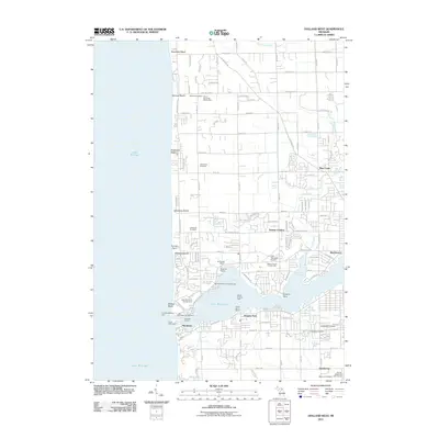 2011 Holland West2011 Print · USGSCoastal Michigan’s shoreline settlements and harbor navigation are captured here during the early twenty-first century. Genealogists and local historians can locate established burial grounds like Lakewood Cemetery or trace the development of communities from Tasmas Corners to Ottawa Beach.
 - 2011 Map of Port Sheldon, 2011 Print
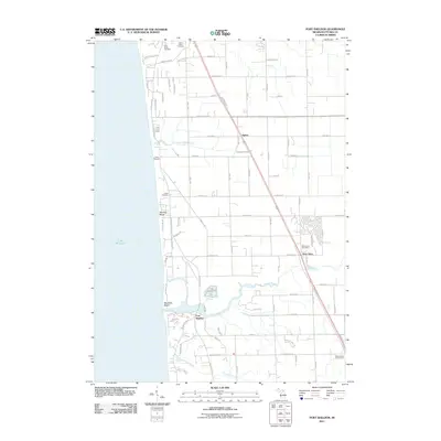 2011 Port Sheldon2011 Print · USGSThe Ottawa County shoreline comes into focus during the early twenty-first century, showing the interface of Lake Michigan dunes and inland settlements. Researchers can locate Indian Cemetery, the West Olive Post Office, and the coastal geography of Port Sheldon.
 - 2011 Map of Borculo, 2011 Print
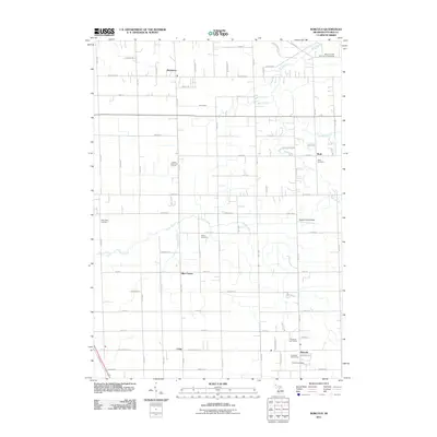 2011 Borculo2011 Print · USGSOttawa County settlements and river valleys are captured here in the early 21st century. Genealogists and local historians can trace legacy sites like Olive Center, Rusk Cemetery, and the Dewind Field Airport.
 - 2011 Map of Holland East, 2011 Print
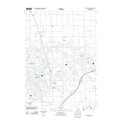 2011 Holland East2011 Print · USGSThe Holland and Zeeland corridor was a bustling network of suburban growth and cultural heritage in the early 2000s. Researchers can trace historic settlements like Noordeloos and Harlem alongside Dutch heritage landmarks such as Windmill Island and Veldheers Tulip Gardens.
 - 2014 Map of Borculo, 2014 Print
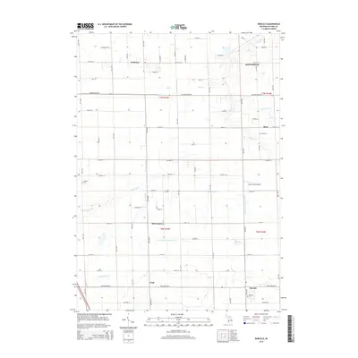 2014 Borculo2014 Print · USGSOttawa County agriculture and small-town life are preserved in this recent survey of Western Michigan. Genealogists and local historians can trace family roots through the grids of Borculo, Rusk, and Olive Center, or locate rural burial grounds like W Olive Cem.
 - 2014 Map of Holland East, 2014 Print
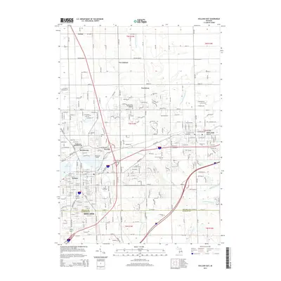 2014 Holland East2014 Print · USGSThe eastern reaches of the Holland-Zeeland corridor are documented here just after the turn of the millennium. Local researchers can locate dozens of historic landmarks and burial sites, from Hope Coll to the Pilgrim Home Cem and Windmill Island.
 - 2014 Map of Port Sheldon, 2014 Print
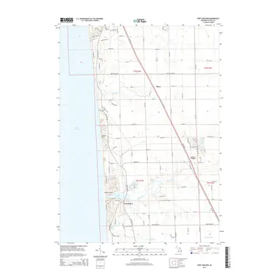 2014 Port Sheldon2014 Print · USGSThe Lake Michigan shoreline of Ottawa County is mapped here in the mid-2010s, showing the interaction between coastal settlements and the Pigeon River basin. Trace local history through landmarks like the Cobmosay Grave and cemeteries including Pine Ridge Cem.
 - 2014 Map of Holland West, 2014 Print
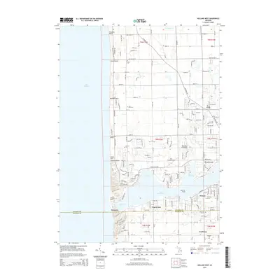 2014 Holland West2014 Print · USGSThe Michigan lakefront near Holland is captured here during the mid-2010s, showing a landscape of established beach colonies and suburban growth. Genealogists and local researchers can locate several historical burial grounds, including Ventura Cem and Shore Cem, alongside landmarks like the Park Township Airport.
 - 2017 Map of Port Sheldon, 2017 Print
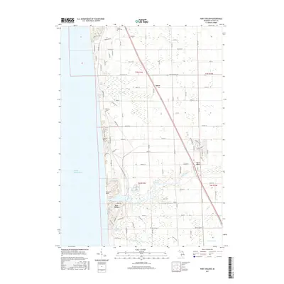 2017 Port Sheldon2017 Print · USGSThe Lake Michigan shoreline of Ottawa County is captured here in the late twenty-teens, showing the coastal dunes and inland woods. Researchers can locate the Cobmosay Grave and trace the winding paths of the Pigeon River and Little Pigeon Cr.
 - 2017 Map of Holland West, 2017 Print
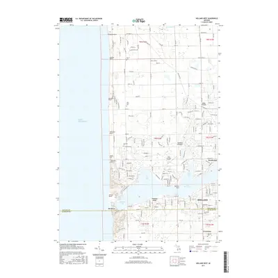 2017 Holland West2017 Print · USGSThe Lake Michigan shoreline and the western reaches of Holland are documented in this recent survey. Local historians can trace cemetery locations like Graafschap Cem and Lakewood Cem or locate community hubs such as Tasmas Corners and the Park Township Airport.
 - 2017 Map of Holland East, 2017 Print
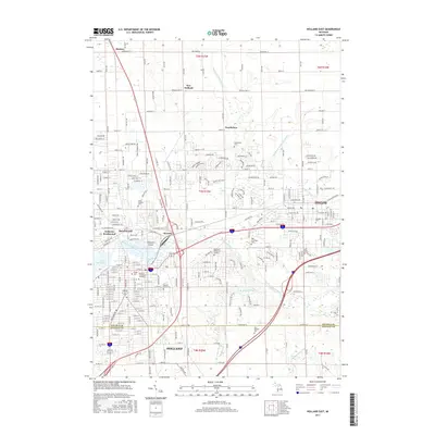 2017 Holland East2017 Print · USGSThe Holland and Zeeland area is captured here in the late 2010s, showcasing a landscape defined by the Macatawa River and deep-rooted community institutions. Researchers can locate numerous historic burial grounds like Pilgrim Home Cem and settlements such as Harlem and Noordeloos.
 - 2017 Map of Borculo, 2017 Print
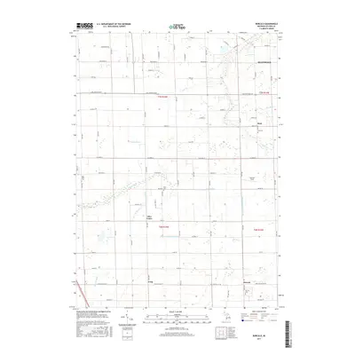 2017 Borculo2017 Print · USGSOttawa County communities such as Borculo and Olive Center are shown in detail during the late twenty-tens. Researchers can trace local lineage through several sites including Rusk Cem and the Olive Taylor St Cem near the Pigeon River.
 - 2019 Map of Borculo, 2019 Print
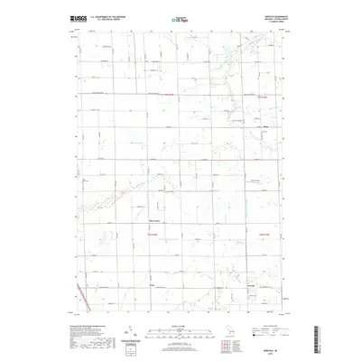 2019 Borculo2019 Print · USGSOttawa County's agricultural heartland is documented here in the late twenty-teens, showing the enduring structure of its rural townships. Researchers can trace family history through local landmarks like Olive Center, Borculo Cem, and Dewind Field.
 - 2019 Map of Port Sheldon, 2019 Print
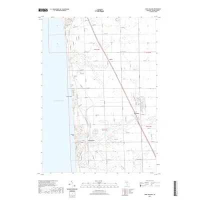 2019 Port Sheldon2019 Print · USGSPort Sheldon and the Ottawa County lakefront are shown here during their modern development alongside the Pigeon River. Researchers can locate the Cobmosay Grave, the Historic Cemetery, and local landmarks like Spring Bayou and West Olive.
 - 2019 Map of Holland West, 2019 Print
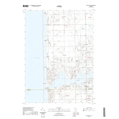 2019 Holland West2019 Print · USGSThe Lake Michigan shoreline and the waters of Lake Macatawa define this coastal Michigan landscape in 2019. Local historians can trace the development of beach communities like Ottawa Beach and Macatawa or locate family sites at Ventura Cem and Graafschap Cem.
 - 2019 Map of Holland East, 2019 Print
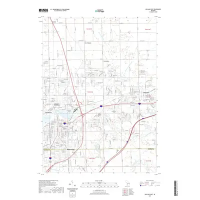 2019 Holland East2019 Print · USGSThe Lake Macatawa hinterlands and the established city of Holland are documented here in the late 2010s. Genealogists can trace family connections through a high concentration of burial sites like Pilgrim Home Cem and Noordeloos Cem, or explore the grounds of Hope College.
Showing maps 1-25 of 29
Top cities near Olive Township
- Holland historical maps
- Norton Shores historical maps
- Spring Lake Township historical maps
- Grand Haven historical maps
- Hudsonville historical maps
- Zeeland historical maps
See more
Top neighborhoods of Olive Township
- Harlem historical maps
- Ottawa Station historical maps
- Borculo historical maps
- Olive Center historical maps
- Crisp historical maps
Frequently asked questions
- What are the different types of historical maps available for Olive Township?
- What is the oldest map of Olive Township?
- Where can I purchase historical maps of Olive Township for my home or office?
- Where can I download high-res historical maps of Olive Township?
- Are there historical topographic maps available for Olive Township?
- Is there historical aerial imagery available for Olive Township?
- Where are historical maps of Olive Township sourced from?